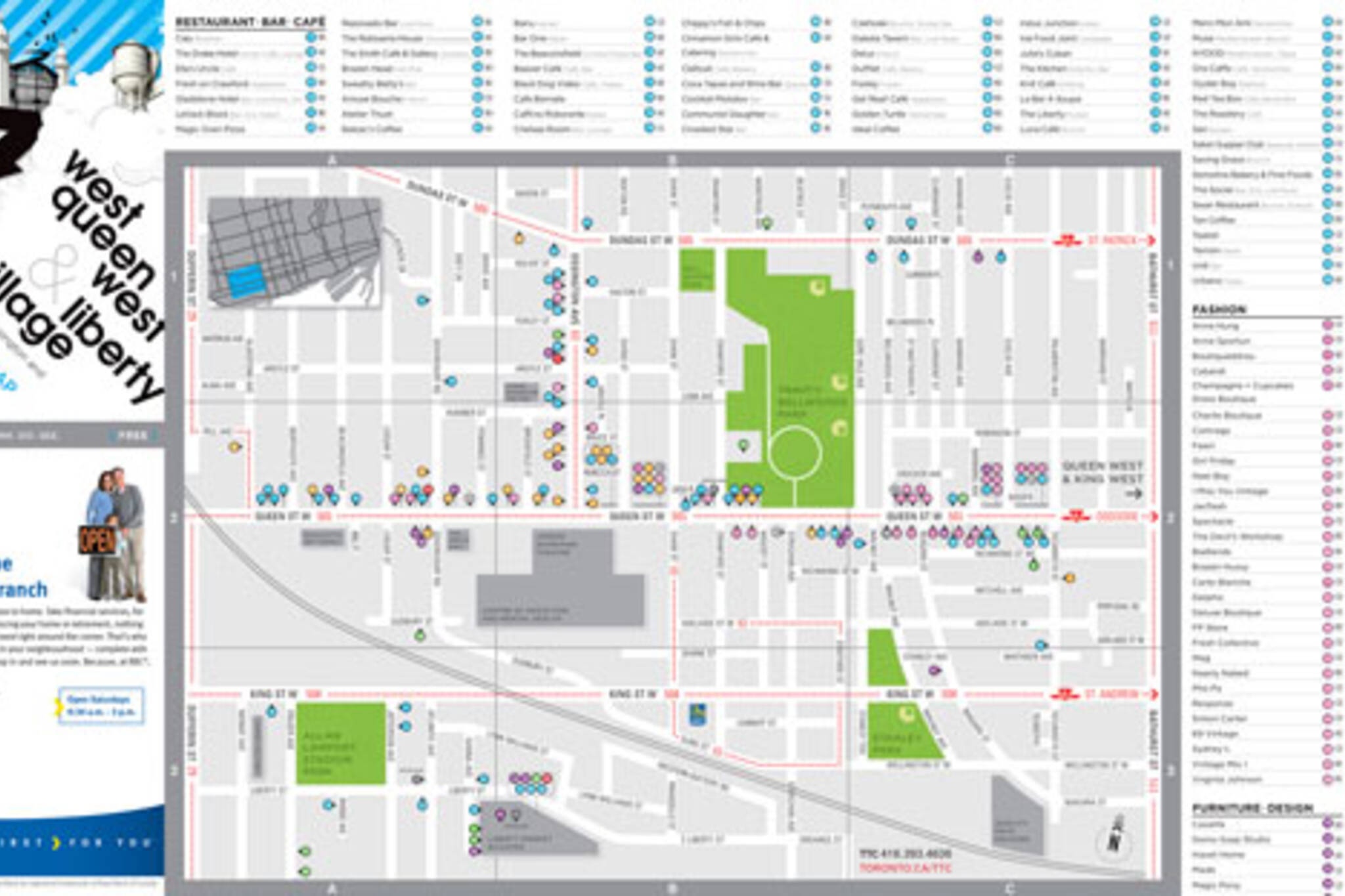
2008 Toronto Urban Maps Now Available
Some of you may have already spotted the new graphics in the lower right hand side of this page, but today we're ready to officially announce the arrival of our 2008 Toronto maps.
Hot off the press, the 2008 version of blogTO's urban guides to different Toronto neighbourhoods now numbers seven:
West Queen West + Liberty Village (including Dundas West and Ossington)
King West + Queen West
Little Italy + The Annex
Parkdale + Roncesvalles Village
Leslieville + Riverside
St. Lawrence Market + The Distillery District (including King East)
The Danforth
This year the maps are printed on 100% recycled paper and made carbon neutral by Zerofootprint. We've also made a number of design tweaks, skinned them with new covers, added TTC routes and updated them with the newest restaurants, cafes, stores and other must-visit spots in each neighbourhood.
For more information or to find out how to get some copies for yourself, check out our Toronto Maps page.
Latest Videos
Latest Videos
Join the conversation Load comments