
A visual history of Spadina Avenue in Toronto
Although Spadina may not compare to Yonge in terms of importance and length or Jarvis in terms of (former) beauty, Spadina is one of those crucial thoroughfares around which the city developed as it pushed west from the area around the St. Lawrence Market.
Public lavatory, 1890s
Whether on account of its proximity to Casa Loma, the dominant presence of Knox College, the public lavatory at Queen St., or just the wide expanse it cuts through the heart of the city, Spadina is one of those streets for which we have lots of archival photos.
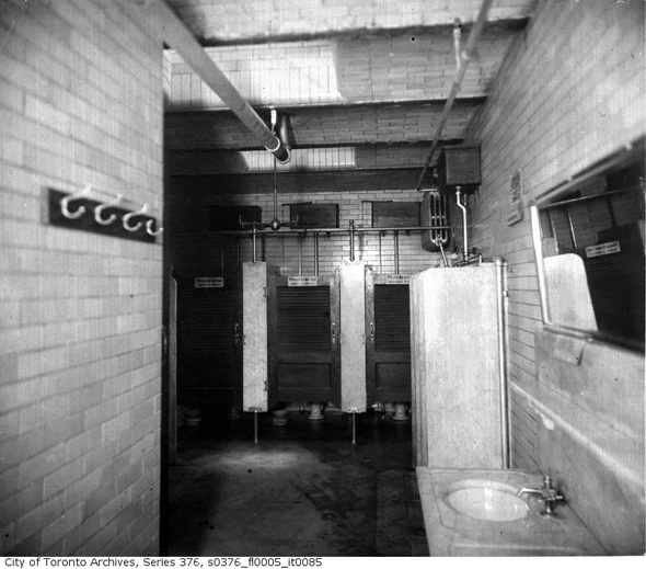
Interior, 1890s
It's also a place that exists as something of a microcosm of the city's history, from the rise of streetcar transportation, to the diversification of Toronto's ethnic population, to the battle to prevent the street from being turned into an expressway in the 1960s, our local heritage can be spotted everywhere along here.
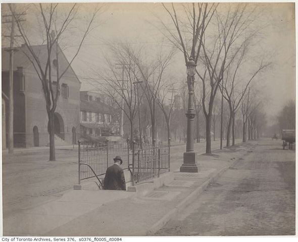
Spadina looking north to College, 1890s
And despite the significant changes that these photos document, Spadina's character has somehow stayed intact over the last century or so.
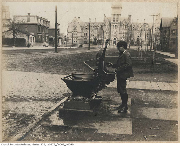
Waterfountain, Spadina & College 1899
Don't believe me? Compare the view at Queen and Spadina in the 1920s with what you see at the intersection today; you might just get a tinge of excitement over just how close the past seems.
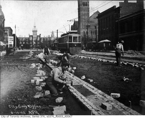
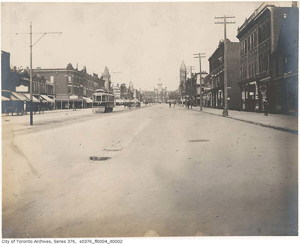
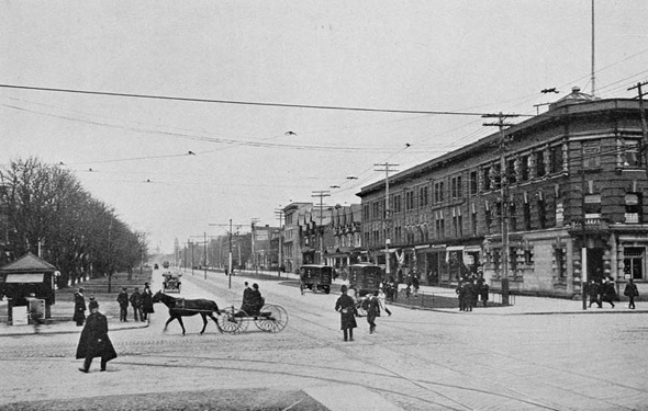
Spadina & College, 1902
Other sections, like the area around U of T, aren't so easily recognizable. As was the case with so many streets in the late 1940s, widening efforts eliminated the tree-lined character of the avenue between College and Bloor streets (north of Bloor, the street name changes to Spadina Road).
Before Casa Loma, 1900s
And the construction of the streetcar right of way (ROW) in the 1990s did away with the diagonal parking that was once a recognizable feature of Spadina's make-up.
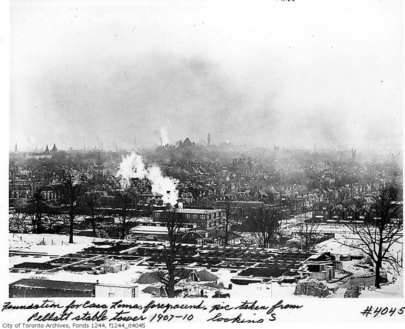
Foundation for Casa Loma, 1907
Still, with so many other historical treasures left to be found, there's little point in bemoaning changes that have accompanied development over the years. If they ever tear down Casa Loma, on the other hand, I'll take up arms.
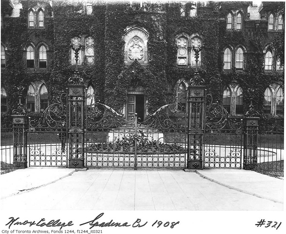
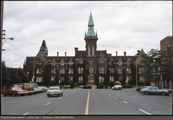
Knox College, 1908
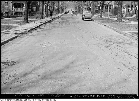
It should be noted that the majority of the images feature Spadina Avenue, but for the sake of comprehensiveness, I've also included plenty that depict areas north of Bloor Street, a.k.a. Spadina Road.
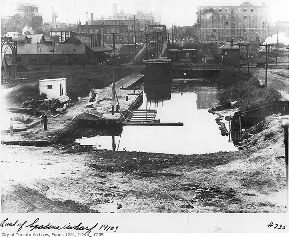
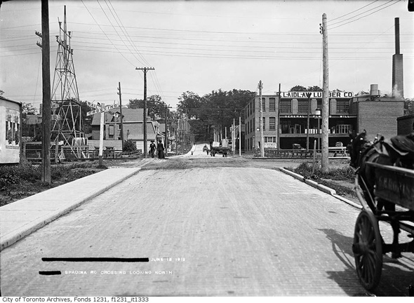
Foot of Spadina, 1910
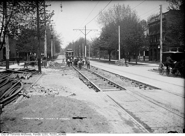
Spadina looking north from Harbord, 1911
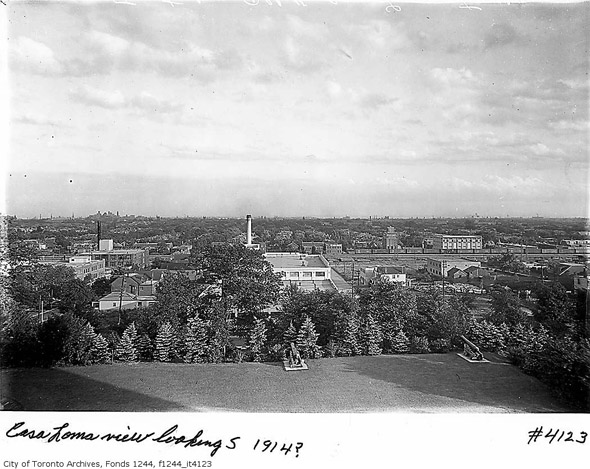
View from Casa Loma, 1914
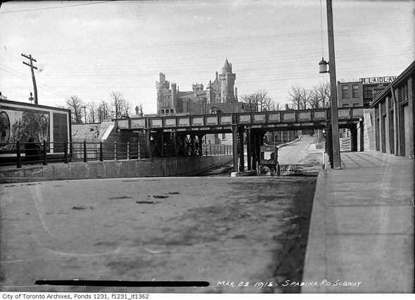
Spadina & Dupont, 1915
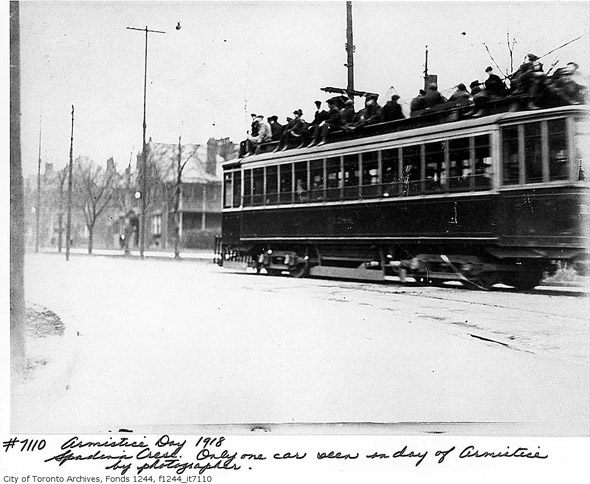
Streetcars were more fun in 1918
Spadina & Queen, 1920
Spadina looking north to Bloor, pre-widening, 1922
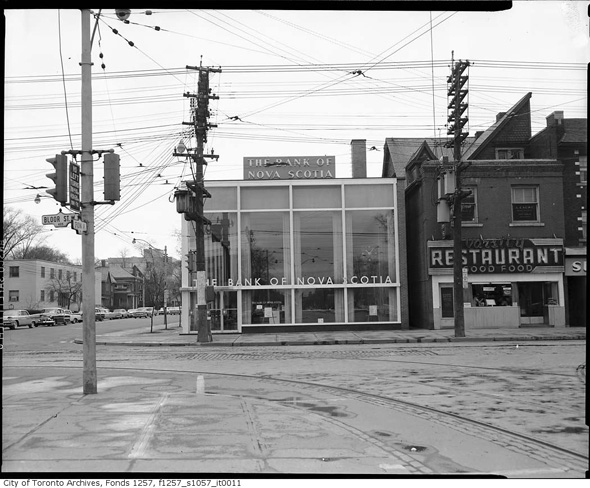
Northeast corner of Bloor & Spadina (Scotiabank has deep roots here), 1924
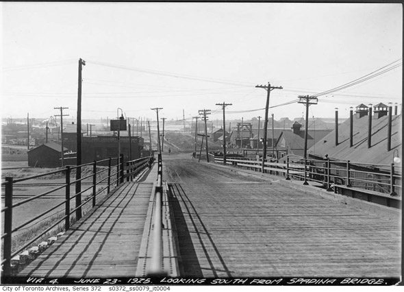
Spadina Bridge, 1925
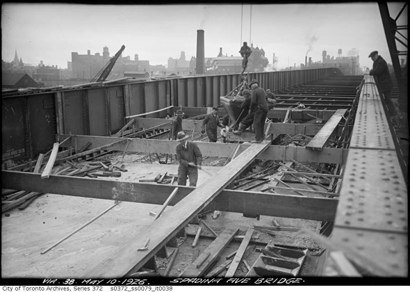
Spadina Bridge, 1926
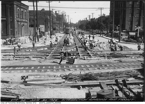
Spadina & Front, 1926
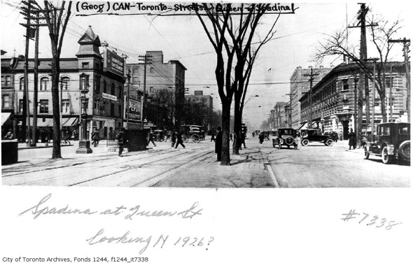
Spadina & Queen, 1926
Spadina & Lonsdale (Forest Hill Village), 1927
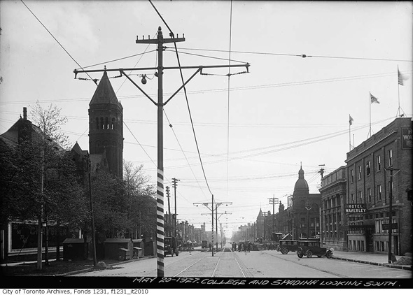
Looking south to College, 1927
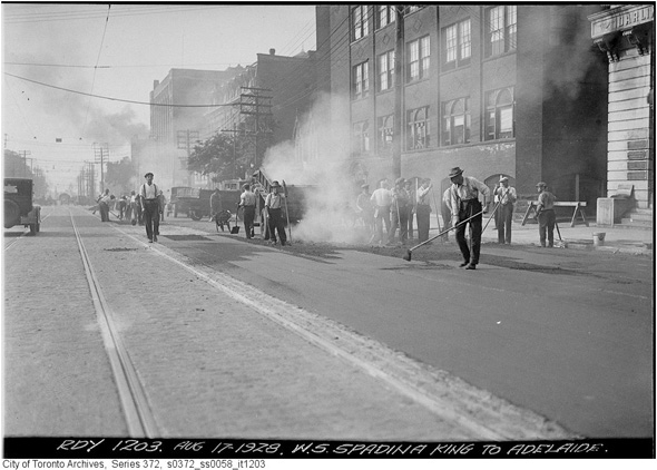
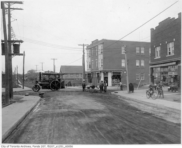
Paving work near Adelaide, 1928
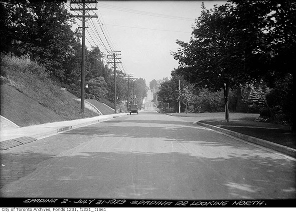
Spadina looking north to St. Clair, 1929
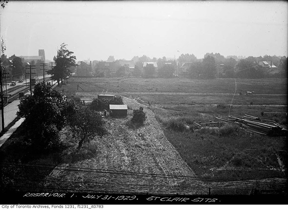
Site of St. Clair Reservoir, 1929
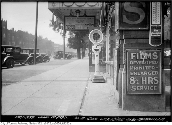
Northeast corner Dundas & Spadina, 1930
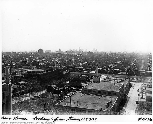
Looking south from Casa Loma, 1930 (Royal York Hotel now in the background)
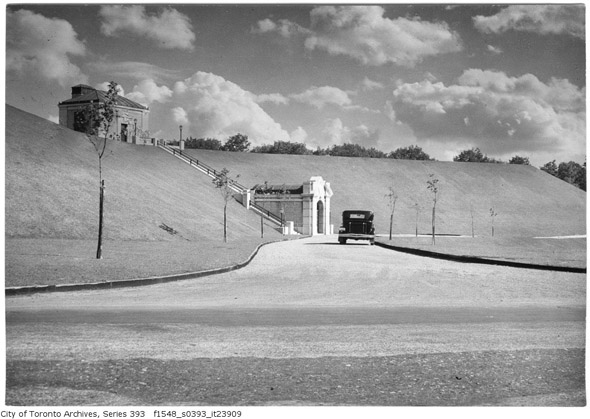
St. Clair Reservoir, 1932
Spadina looking north to Dupont, 1933
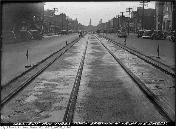
Track work north of D'Arcy, 1937
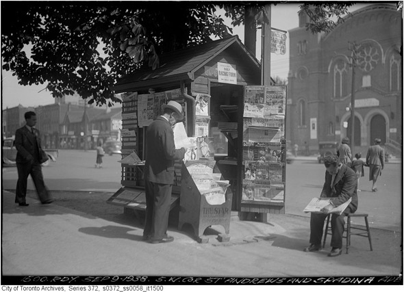
St. Andrew & Spadina, 1938
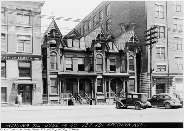
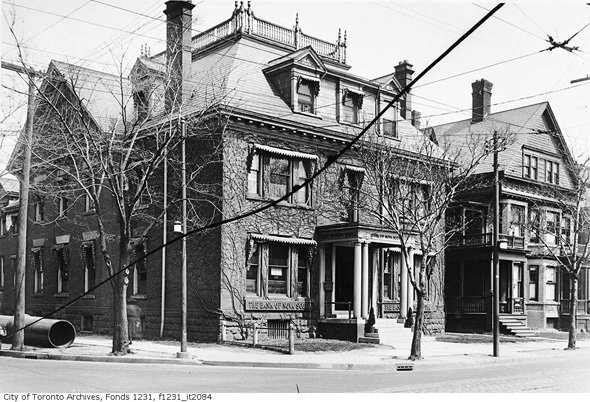
187-191 Spadina, 1940
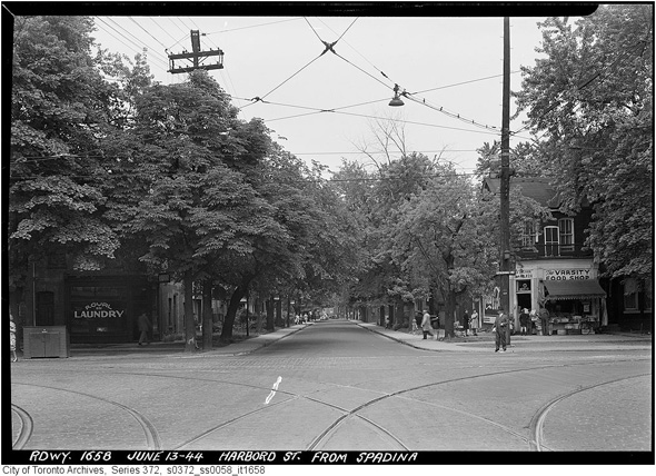
Corner of Harbord & Spadina looking east, 1944
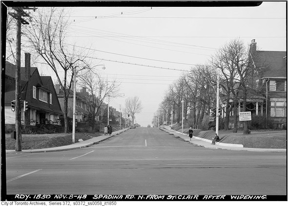
Spadina & St. Clair, 1948
Looking north to Bloor, 1948
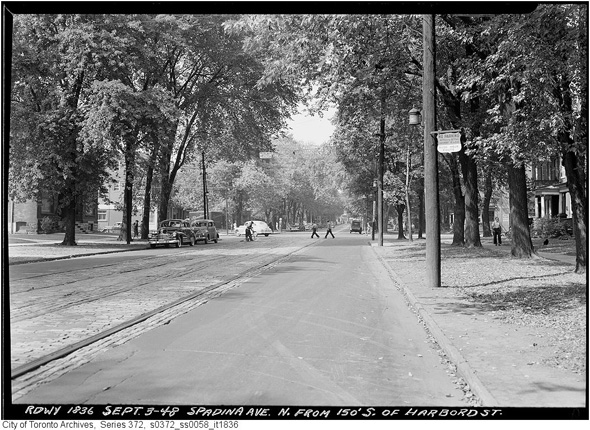
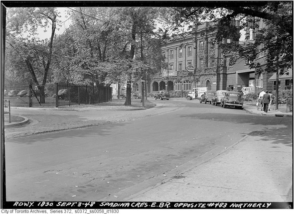
North from Spadina Crescent, 1948
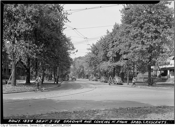
Different angle
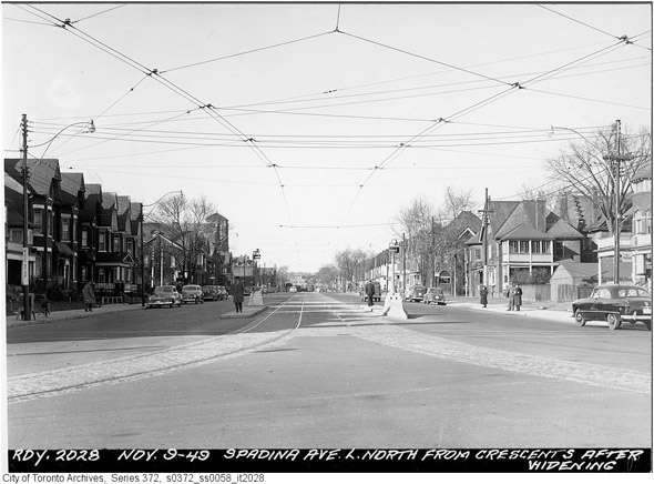
Post-widening, 1949
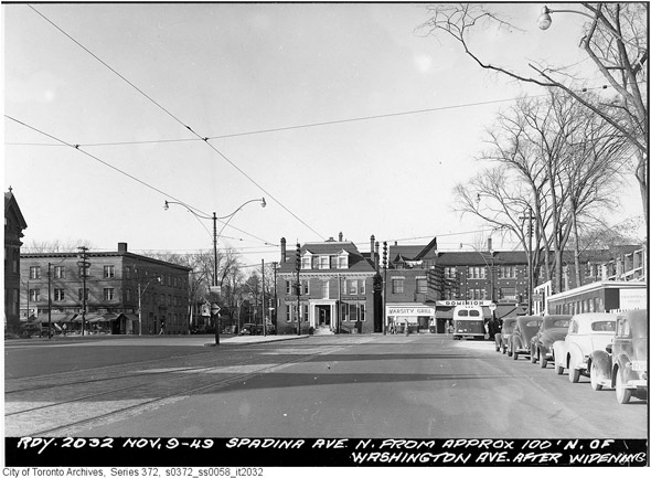
Spadina looking north to Bloor, post-widening
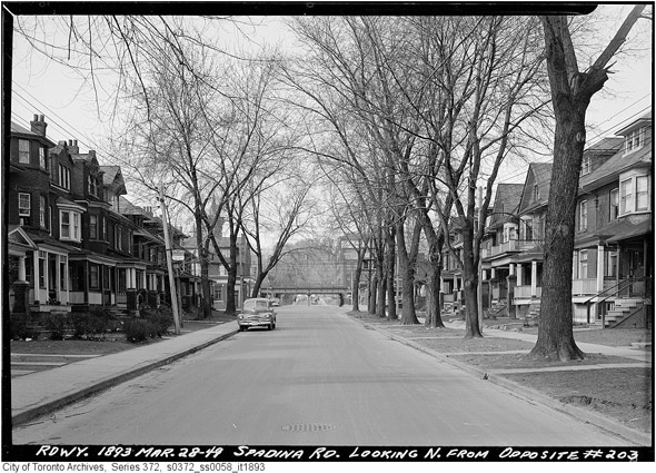
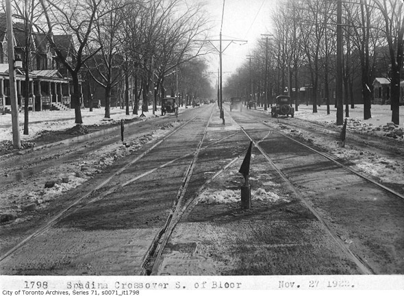
Spadina between Bloor & Dupont, 1949 ***
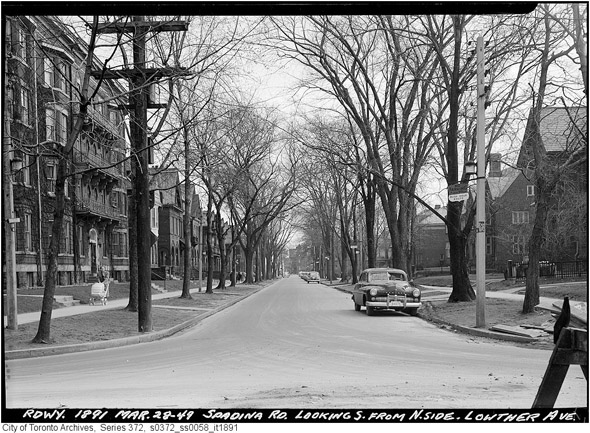
Spadina looking south at Lowther, 1949
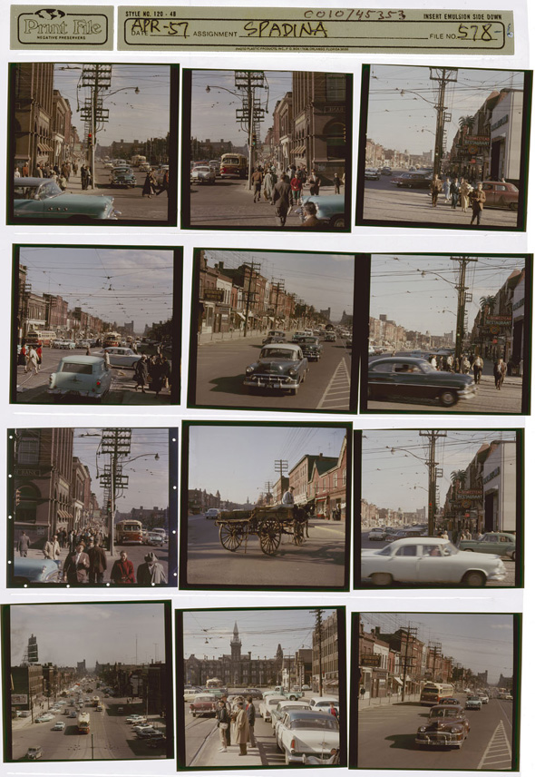
Slides from the National Archives, 1957
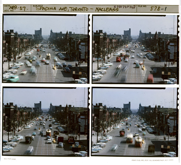
Slides from the National Archives, 1957
Bloor & Spadina, 1960s
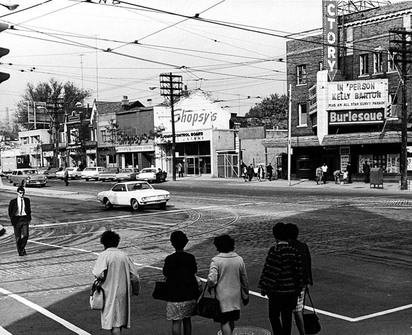
Victory Burlesque, Spadina & Dundas (NE corner, building still standing), 1960s
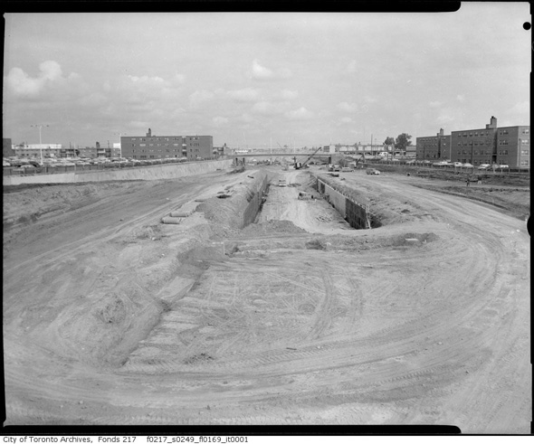
Spadina Expressway (now Allen Road) at Lawrence, 1963
Knox College, 1980s
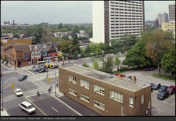
Spadina & Harbord, 1990s
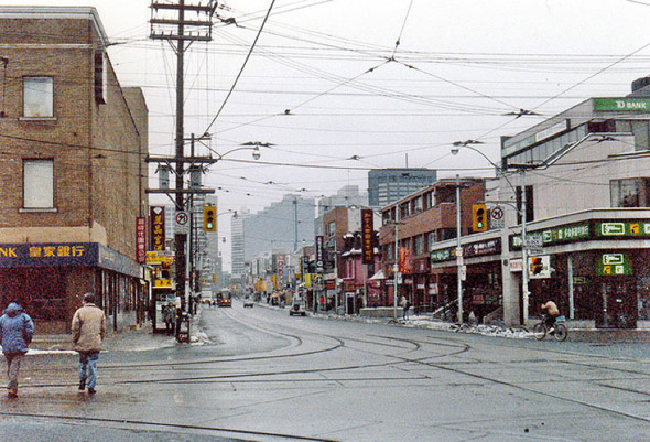
Spadina & Dundas, date unknown
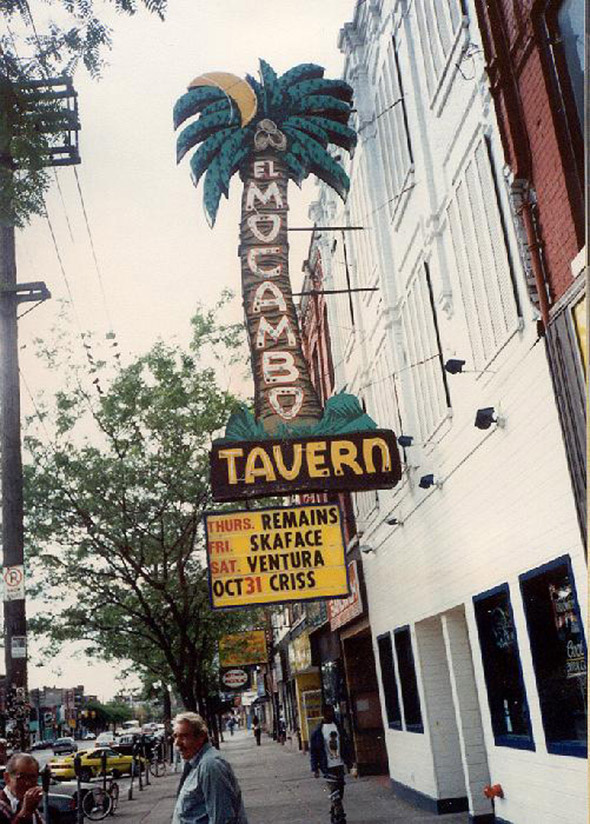
The El Mocambo Tavern, date unknown
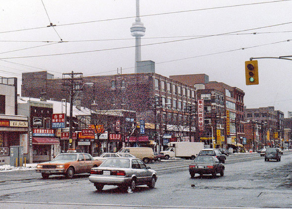
Chinatown, date unknown
And, this post wouldn't be complete without... The Spadina Bus.
the Toronto Archives unless otherwise noted


