Toronto faces extreme cold weather alert with more snow and bitter temps on the way
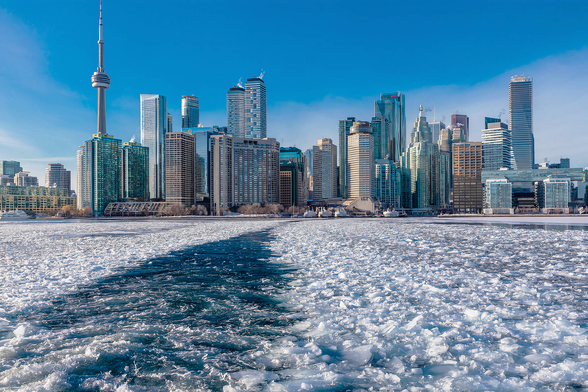
After a quick stint of nearly spring-like weather, Toronto is back in another deep freeze on Friday, the city issuing an extreme cold weather alert as wind chill temperatures dip well into the negative double digits and snowy conditions make for a hazardous commute.
Like multiple times in 2022 thus far, the city is advising residents to seek shelter, check on loved ones, and layer up if you do have to head out today, given the messy winter conditions and frigid temps.
Four warming centres will be opened to the city's most vulnerable at 129 Peter St., 5800 Yonge St., the Exhibition Place's Better Living Centre at 195 Princes’ Blvd., and the Scarborough Civic Centre at 150 Borough Dr. as the city wakes up to a brisk - 9 C that feels more like - 18 C, according to The Weather Network forecast.
#CityOfTO issues an #ExtremeColdWeatherAlert – seek shelter, check on loved ones
— City of Toronto (@cityoftoronto) February 25, 2022
News release: https://t.co/p6X6qEDnAq @TOPublicHealth
A winter weather travel advisory is also in effect through to the middle of Friday, with Environment Canada warning of local blowing snow and "heavy snow at times with snowfall accumulations near 5 cm" in the city.
"Motorists should expect hazardous winter driving conditions and adjust travel plans accordingly. Poor weather conditions may contribute to transportation delays," the federal weather agency wrote early this morning.
"Surfaces such as highways, roads, walkways and parking lots may become difficult to navigate due to accumulating snow. Visibility may be suddenly reduced at times in heavy snow. There may be a significant impact on rush hour traffic in urban areas."
Snow will develop around midnight tonight & continue thru the Friday morning commute, diminishing to flurries late morning; Snow totals 6-12 cm across the GTHA & Niagara - so not a major storm, but enough to have a significant impact road conditions. #onwx pic.twitter.com/spQdS88ahe
— Doug Gillham (@gtaweather1) February 24, 2022
Several crashes have already been reported before 8 a.m. due to the weather across the GTA.
As TWN notes, "while overall snow totals aren't anything overly impressive, it's the timing through the morning commute that could stir up some trouble for travellers. Roads were already slick and snow covered during the pre-dawn hours on Friday, with snowfall intensity picking up throughout the morning before gradually easing into the early afternoon."
Meteorologists also say that "because of the fluffier nature of the snow, it could also accumulate faster in some areas."
The Linc is fairly snow covered as of 7:30am. #onstorm #onwx @weathernetwork (passenger, not driving) pic.twitter.com/9TffKKOgKj
— Dayna Vettese ❄️ (@daynavettese) February 25, 2022
Things will be fairly flip-floppy over the coming days, with Saturday going up to - 3 C (which will feel like -9 C) with a mix of sun and clouds, but temps dropping down to - 17 C by Sunday night, with scattered flurries throughout the day.
The week ahead will see a few more days of potential flurries on Tuesday, with temps staying in the negative single digits and feeling no colder than - 6 C through to the end of next week.
Latest Videos
Latest Videos
Join the conversation Load comments