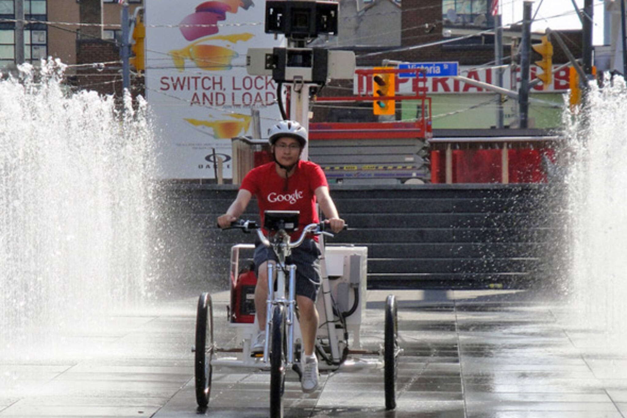
Google Street View trike hits Toronto streets
Google's Street View map of Toronto is about to get an update. Over the next few weeks the company's trike â a pedal-powered contraption that allows access to places that its camera cars can't go â will be combing the city to fill in some of the blanks that currently exist on the interactive maps program.
First released in 2009, online explorers have found a number of gaps in the Toronto iteration of Google's Streetview, the most notable of which are the city's many alleyways and off-street bike and pedestrian paths (e.g. the Martin Goodman waterfront trail). Given that Google has added cycling directions to its repertoire, a "path view" feature for these harder to reach places will be a most welcome addition.
Along with helping cyclists and pedestrians map out their routes, the new information will be a boon to third party apps like Street Art View and WhatWasThere, which use the Google maps API to document graffiti and historical photo locations, respectively.
Once the nine cameras fitted to the trike have captured images of the areas in question, Google anticipates that its Street View map of the city will be updated sometime in the fall. The trike will also visit other Canadian cities over the course of the summer.
Photo by emaninTdot in the blogTO Flickr pool
Latest Videos
Latest Videos
Join the conversation Load comments


