
This is what Liberty Village looked like before the condos
For all the development that's shaped Liberty Village over the last 15 years or so, the area's industrial past retains something of a ghostly presence.
Once home to the mighty Inglis factory — a key player in the local war movements of the previous century and a major manufacturer of the Bren light machine gun — the area is marked by a pseudo-suburban housing development that just doesn't seem integrated with the rest of the area.
With the exception of the old chapel from the former Central Prison, this section of the neighbourhood was completely razed in the late 1990s and early 2000s.
But, interestingly, it was only because of the healthy tension between new and old to the west that such a development was even considered in the first place.
The Inglis Factory in the early 1990s. Photo via the Toronto Archives.
The former industrial warehouses found on streets like Hanna, Atlantic, Jefferson, Fraser, and Mowat played host to an IT boom that paved the way for the renewal of the area and the condo-based developments that continue to this day.
By the mid 2000s, the neighbourhood started to undergo huge changes. Most of the Inglis buildings were demolished, following the destruction of the Massey Ferguson site on King West a few years earlier.
A small group of heritage enthusiasts tried to save the industrial character of the eastern end of Liberty Village, but they didn't stand much of a chance given the value of the property in question and the incentives developers had to build residential properties.
What remains now is a thoroughly mixed neighbourhood that lacks the historical identity of something like the Distillery District, but has nevertheless escaped the complete destruction of industrial heritage experienced along the King West corridor.
Behold, what Liberty Village looked like before the condos.
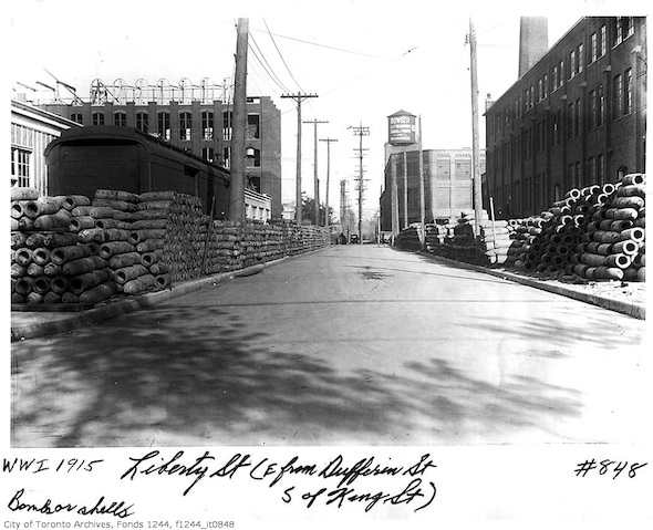
Liberty Street, 1915. Photo via the Toronto Archives.
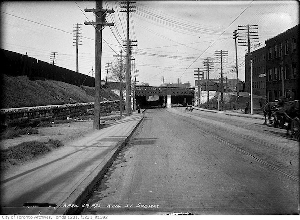
King West subway, 1915. Photo via the Toronto Archives.
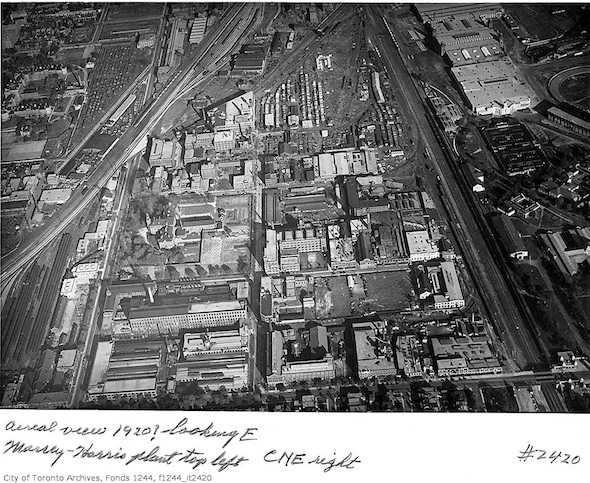
Ariel view of King West and Liberty Village. Photo via the Toronto Archives.
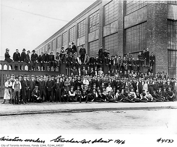
Curtiss Aeroplane plant, Strachan Avenue. Photo via the Toronto Archives.
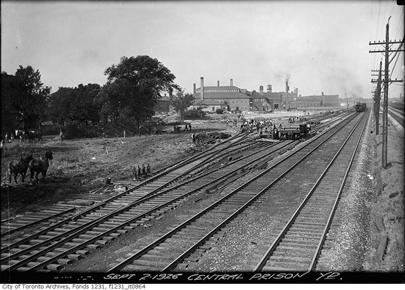
Central Prison Yard, 1926. Photo via the Toronto Archives.
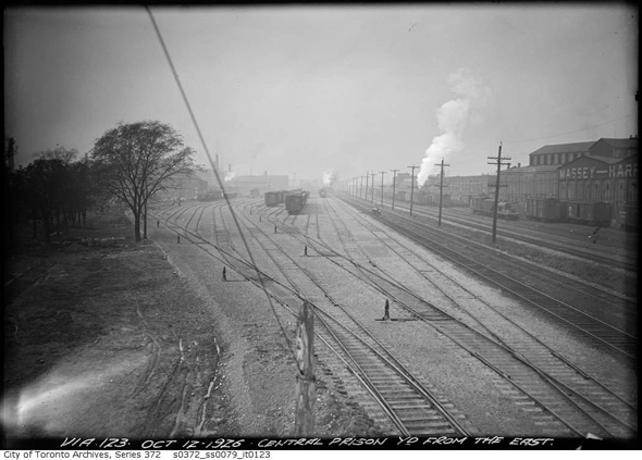
Central Prison Yard and Massey Ferguson Buildings (right), 1926. Photo via the Toronto Archives.
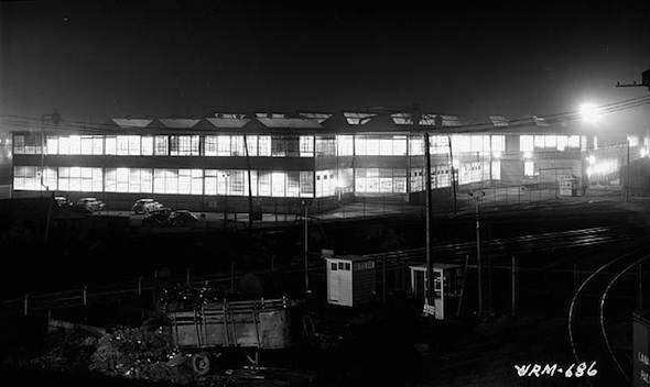
Inglis factory at night, 1940s (via Gary Blakeley).
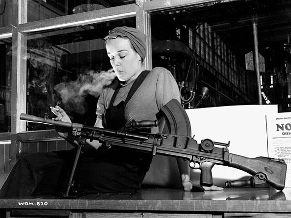
Veronica Foster, Bren Gun Girl, 1940s (via the Wikimedia Commons).
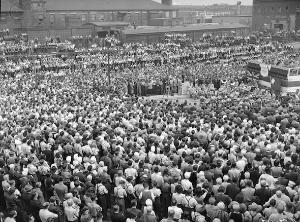
War workers, 1940s (via Gary Blakey).
More of Veronica Foster. Compare to shot from 1990s (via Gary Blakeley).
Central Prison Chapel, 1953. Photo via Toronto Public Library.
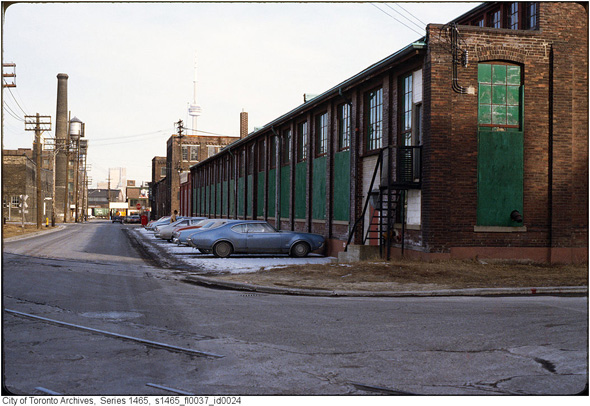
Liberty Street, late 1970s. Photo via the Toronto Archives.
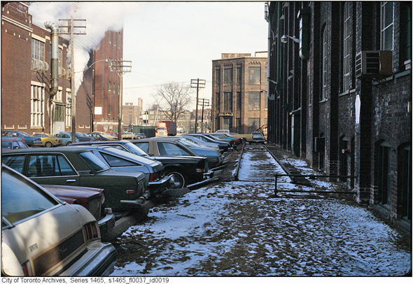
Off Liberty Street, late 1970s. Photo via the Toronto Archives.
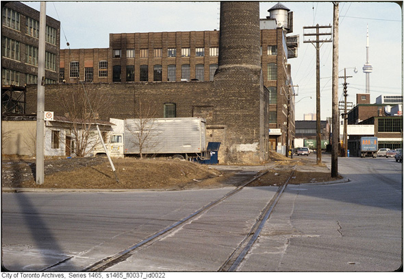
Liberty Street, 1970s. Photo via the Toronto Archives.
Liberty Street in the 1970s. Compare to 1915 photo above. Photo via the Toronto Archives.

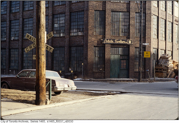
Liberty Street and Jefferson Avenue, 1970s (the buildings on southeast and west corners still stand). Photo via the Toronto Archives.
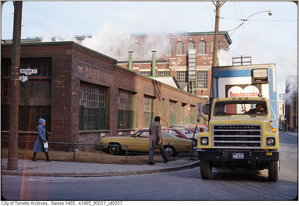
Dufferin & Liberty streets, 1970s. Photo via the Toronto Archives.
Strachan Avenue looking towards King Street, 1980s. Photo via the Toronto Archives.
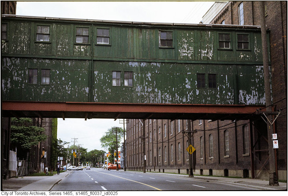
Strachan Avenue and Inglis factory, 1980s. Photo via the Toronto Archives.
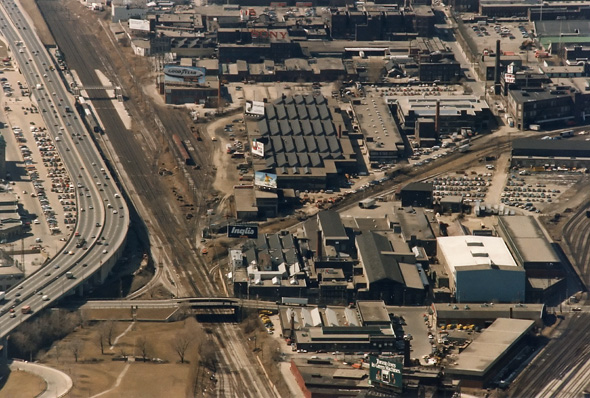
Aerial view, 1980s. Photo by Eugene D. Burles via Trainweb.
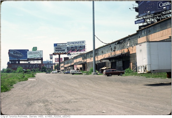
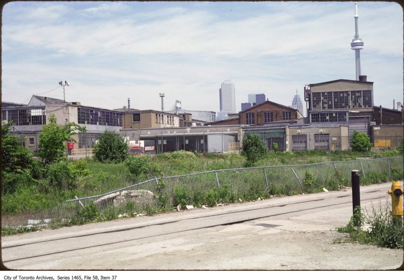
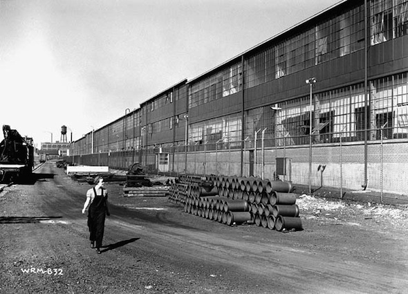
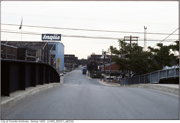
Foot of Hannah Avenue, Inglis Complex 1990s. Photo via the Toronto Archives.
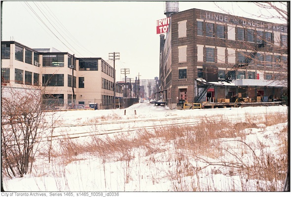
Irwin Toys (now the Toy Factory Lofts), 1990s. Photo via the Toronto Archives.
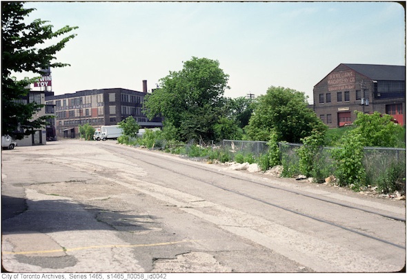
Approaching Irwin Toys, 1990s. Photo via the Toronto Archives.
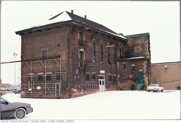
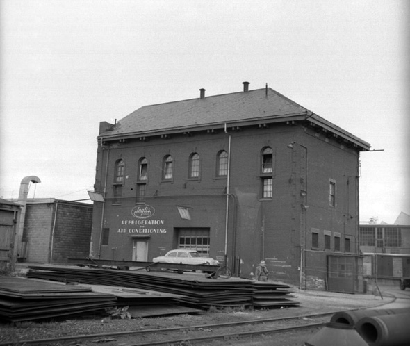
Central Prison chapel, 1990s. Photo via the Toronto Archives.
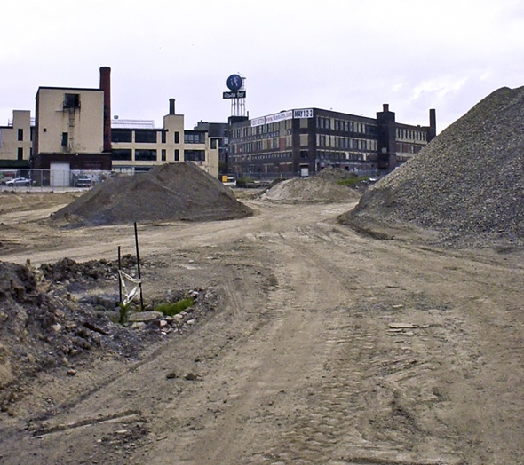
The birth of East Liberty Street, 2003. Photo by Christ Smart.
Transition time, 2005. Photo by Chris Smart.
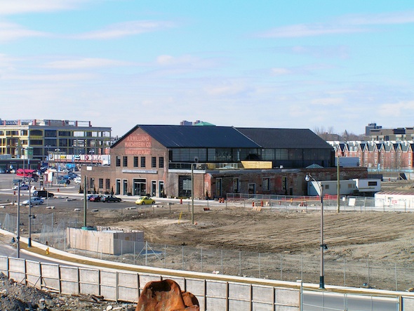
East Liberty Street, 2006. Photo by Alex Luyckx.
Liberty Village, 2009. Photo by Stephen Sokolov.
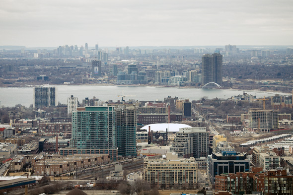
Looking west across Liberty Village, 2010. Photo by Tom Ryaboi.
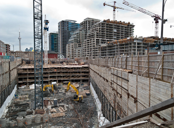
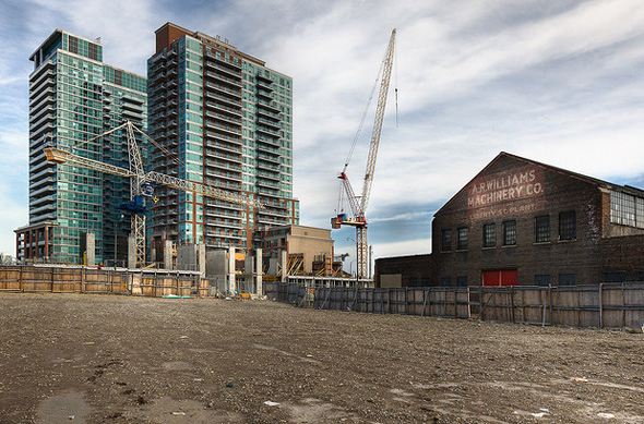
Construction continues, 2012. Photo by Toronto.Pictures.
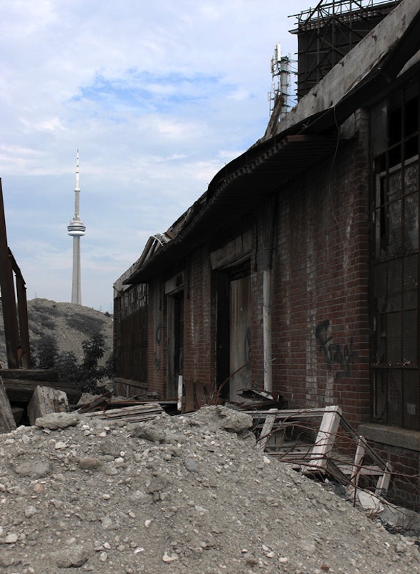
Toronto Archives of the Inglis Warehouse rooftopping, 1990s.


