Is the Grass Always Greener in Downsview?
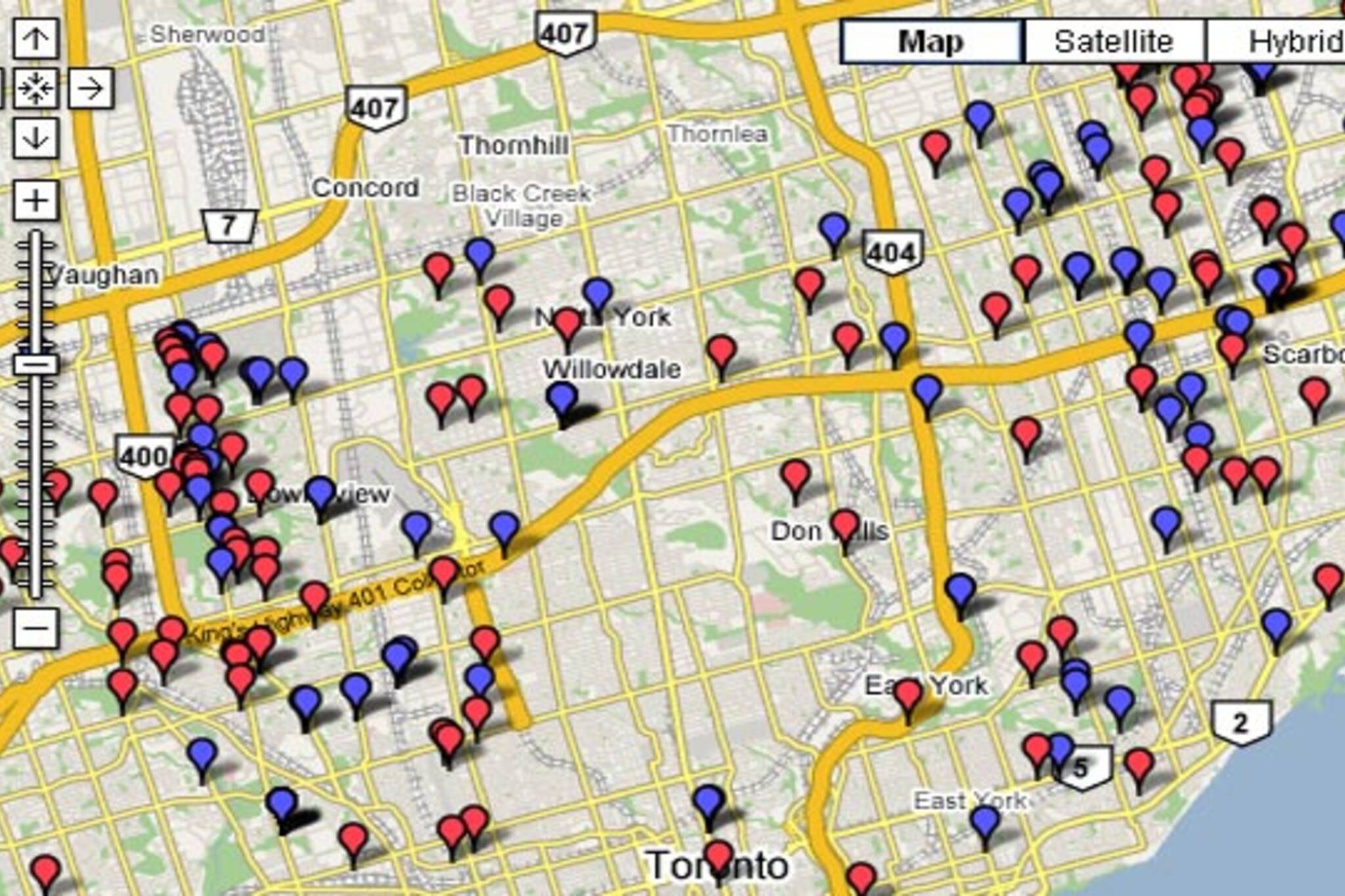
It seems that Rexdale, Downsview, and Scarborough stand out as clusters on the "marijuana map". They grow a lot of weed and, incidentally, get caught a lot growing weed. But so do many culprits scattered throughout the city.
Check out the Toronto Star's Google maps summary of marijuana grow-op busts from 2007. This is somewhat useful to those looking to relocate to a new area of town and wanting to get an idea of their surroundings (and to a lesser extent useful to those wanting to start up a "nursery" of their own in an area of lower density competition). What's interesting to note is that it doesn't really mirror the Toronto 2007 murder map, which has a high concentration of incidents in the downtown core.
Latest Videos
Latest Videos
Join the conversation Load comments