
This is what Toronto's waterfront looked like in the 1970s
Toronto's waterfront might still be years away from being transformed into whatever comes next but a look back in time reveals just what a mess the area was back in the 1970s when its period as an industrial hub came to a close.
While opinions are mixed about the continued build-up of condos along the lakeside, these images serve as a reminder that development along the water served as a catalyst for much of the improvement we've witnessed since it was one giant brown field.
During the 1970s, industrial sites were expropriated to give way to art galleries, recreational space, and performance venues. It was also in 1976 that the federally funded Harbourfront project got underway - a key element in our waterfront's revitalization.
Behold, the Toronto waterfront of the 1970s.
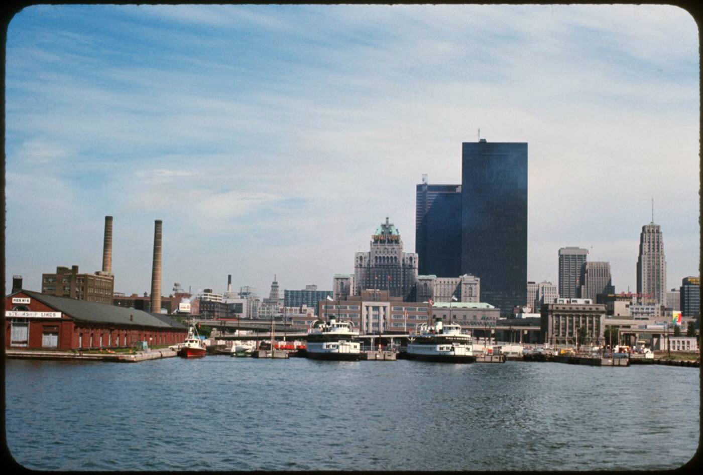
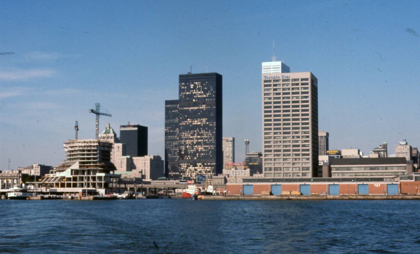
View of the central harbour and burgeoning skyline in 1970. Photo via the Toronto Archives.
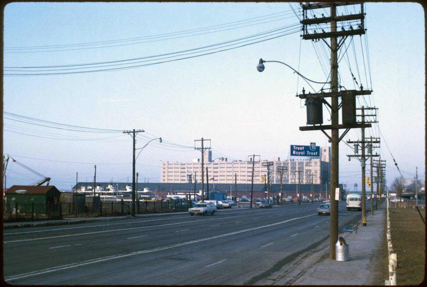 Looking west across an empty Queens Quay in the early 1970s. Photo via the Toronto Archives.
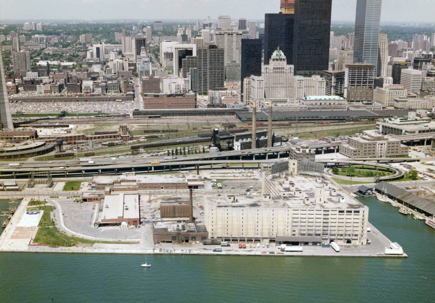
The Queens Quay Terminal and harbourfront pre-revitalization in 1974. Photo via Harbourfront Centre.
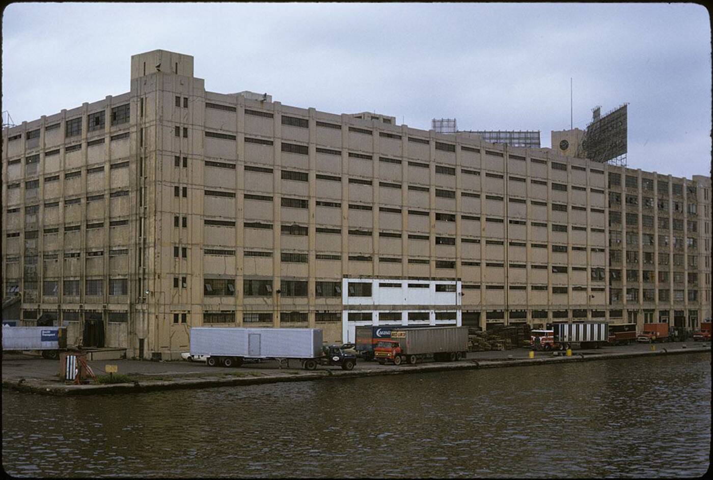 The Queens Quay Terminal in its last days as an industrial site in 1974. Photo via the Toronto Archives.
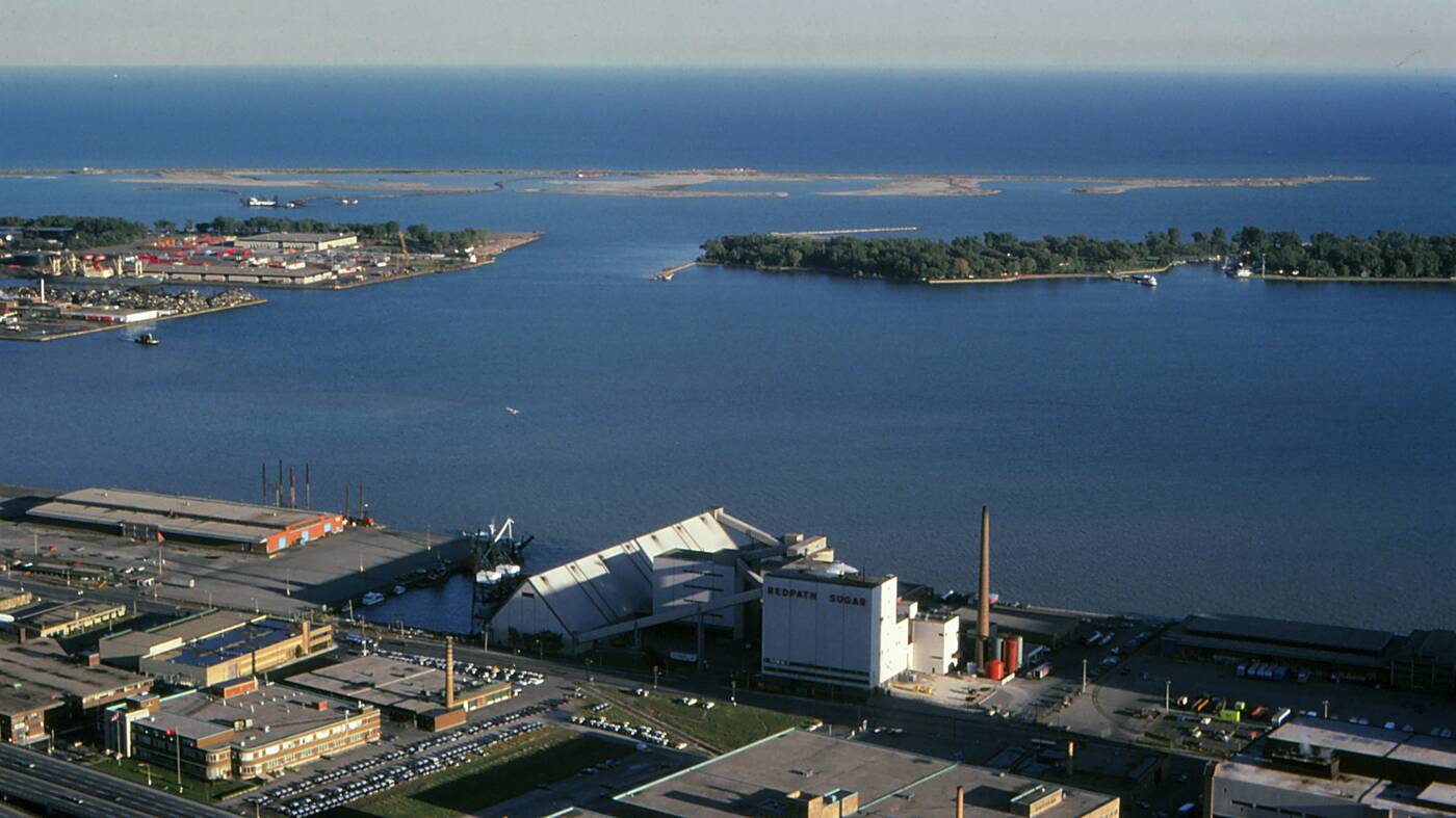 Looking towards the Eastern Gap and the young-looking Leslie Street Spit in 1974. Photo by Tom.
The Toronto Star Building and a rising Harbour Castle Hotel in 1976. Photo by Robert Taylor.
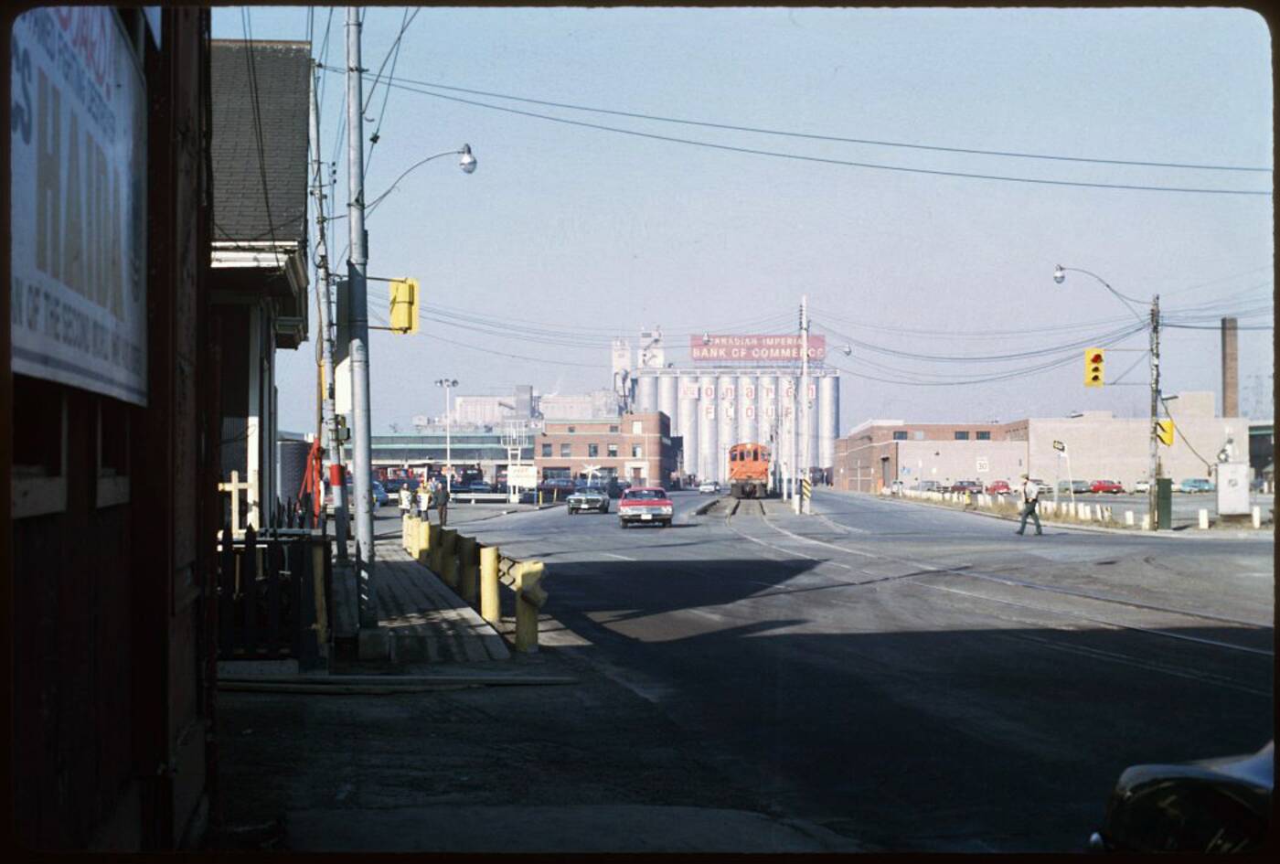
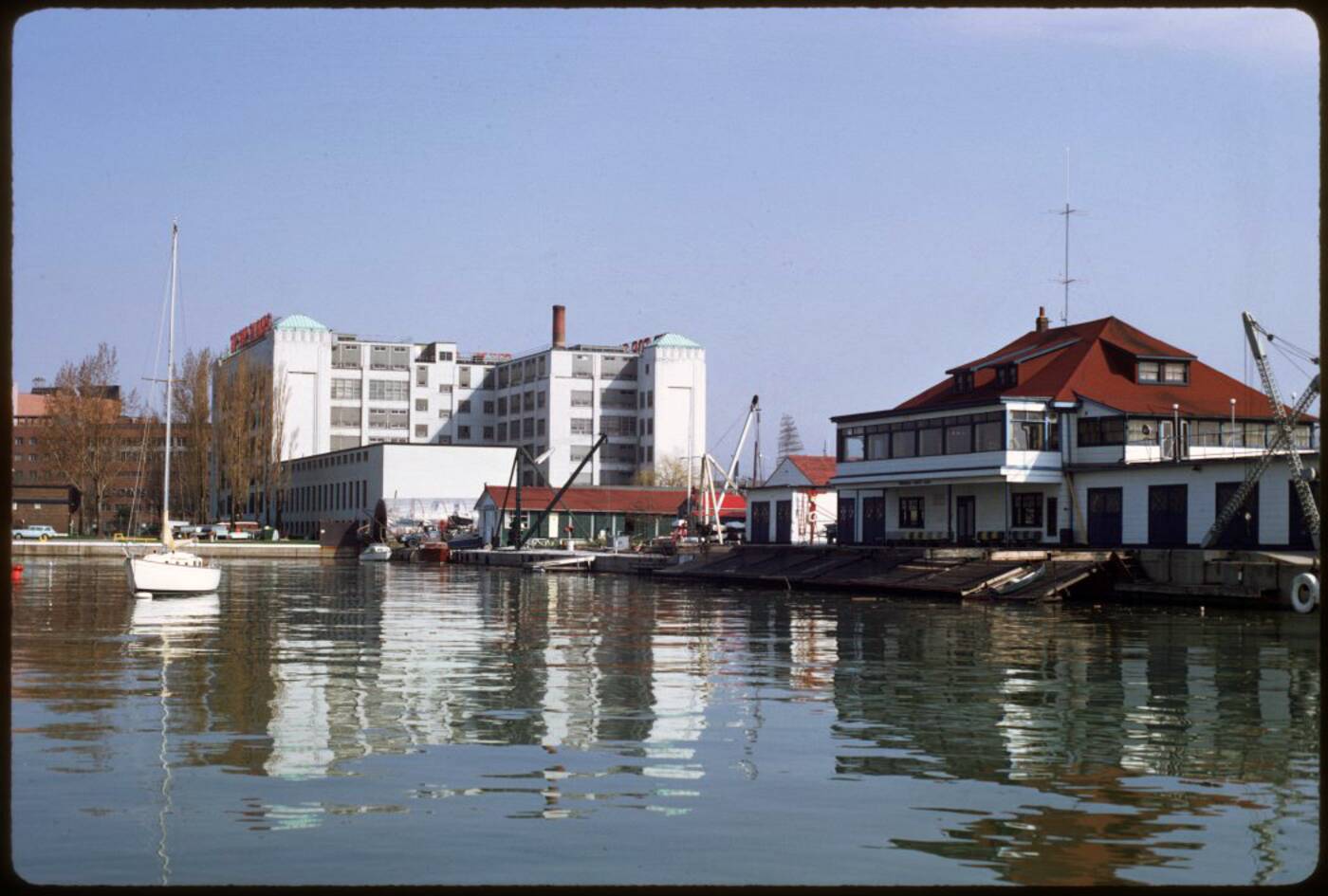
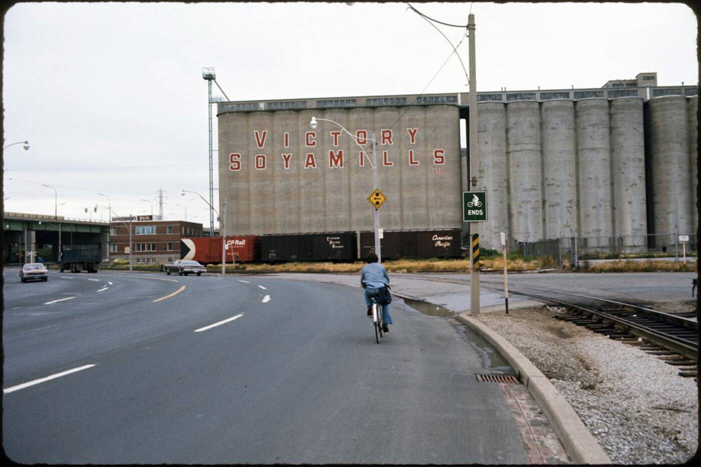
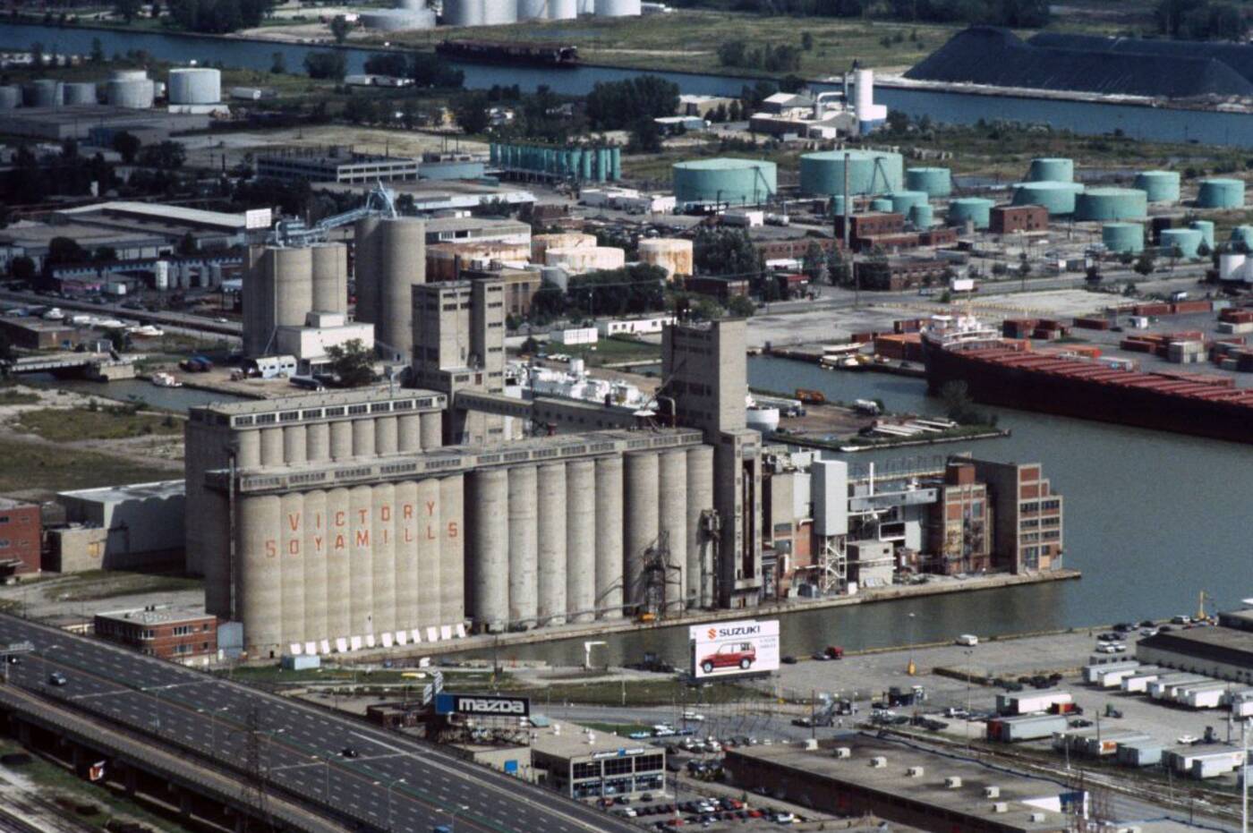
Looking west across Queens Quay towards the Maple Leaf Mills at Spadina Quay. Photo via the Toronto Archives.
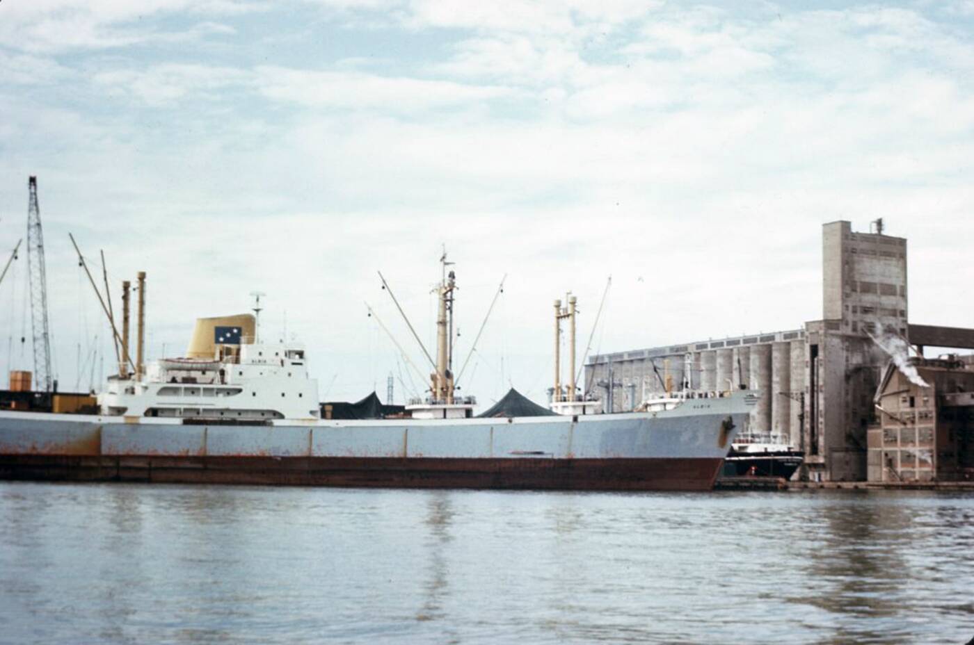
Ship delivery at Maple Leaf Mills in the mid 1970s. Photo by Dan.
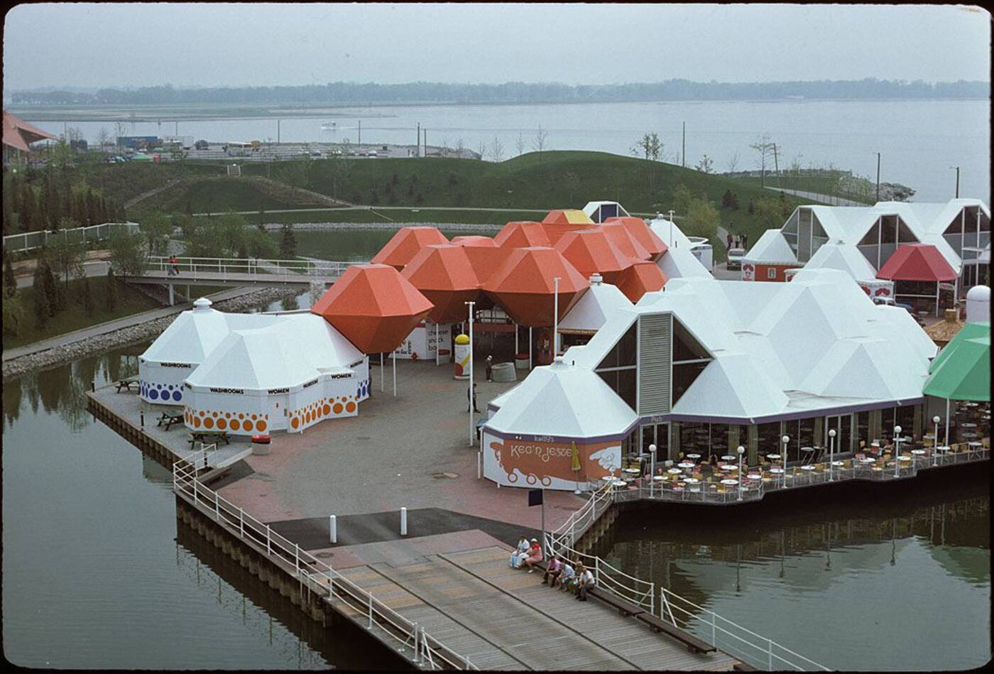
Looking east across the Ontario Place grounds in the mid 1970s. This is roughly where the new Trillium Park is now located. Photo via the Toronto Archives.
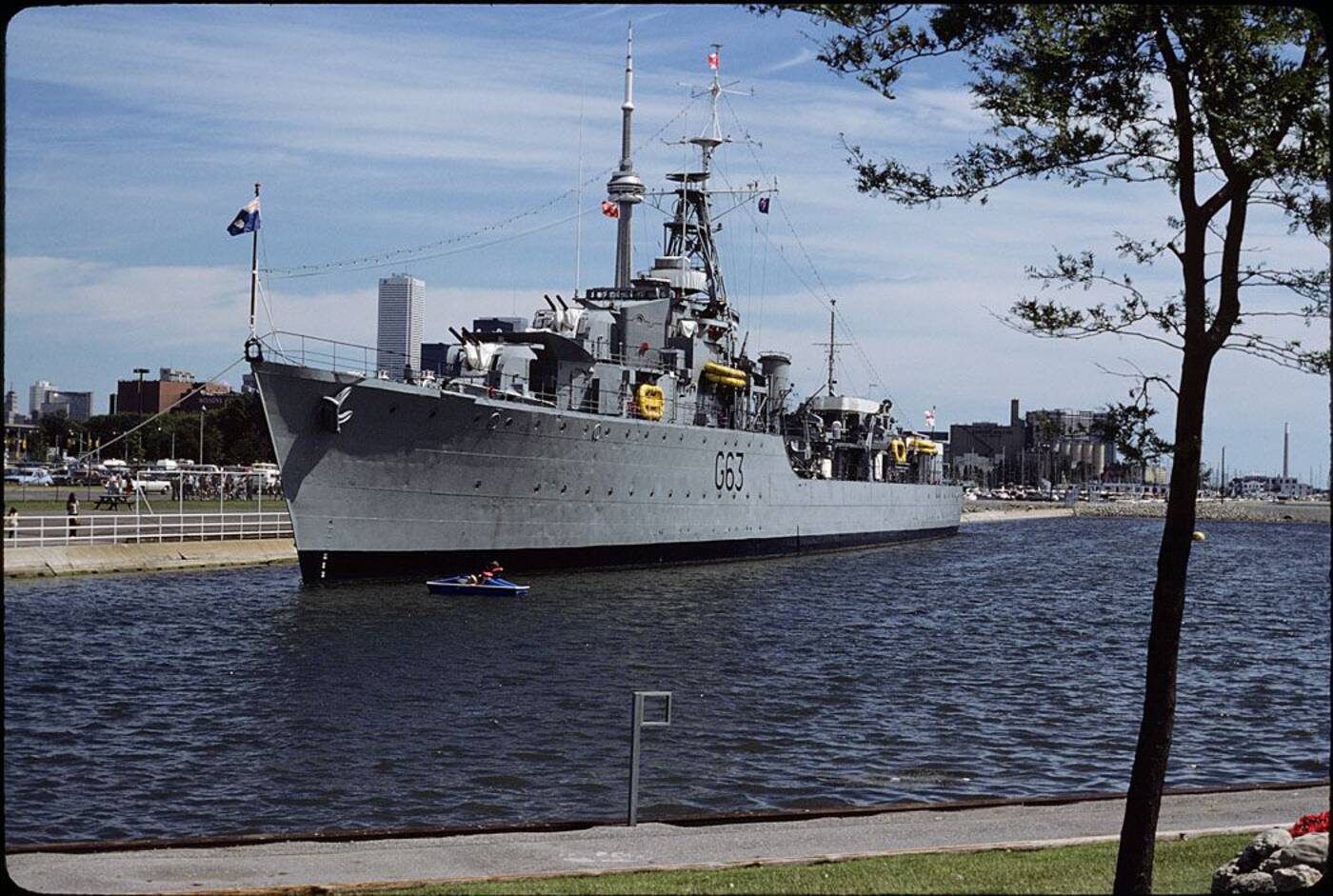
HMCS Haida docked near Ontario Place in the 1970s. Photo via the Toronto Archives.
Harbour area south of Tip Top Tailors Building near Bathurst and Queens Quay. Photo via the Toronto Archives.
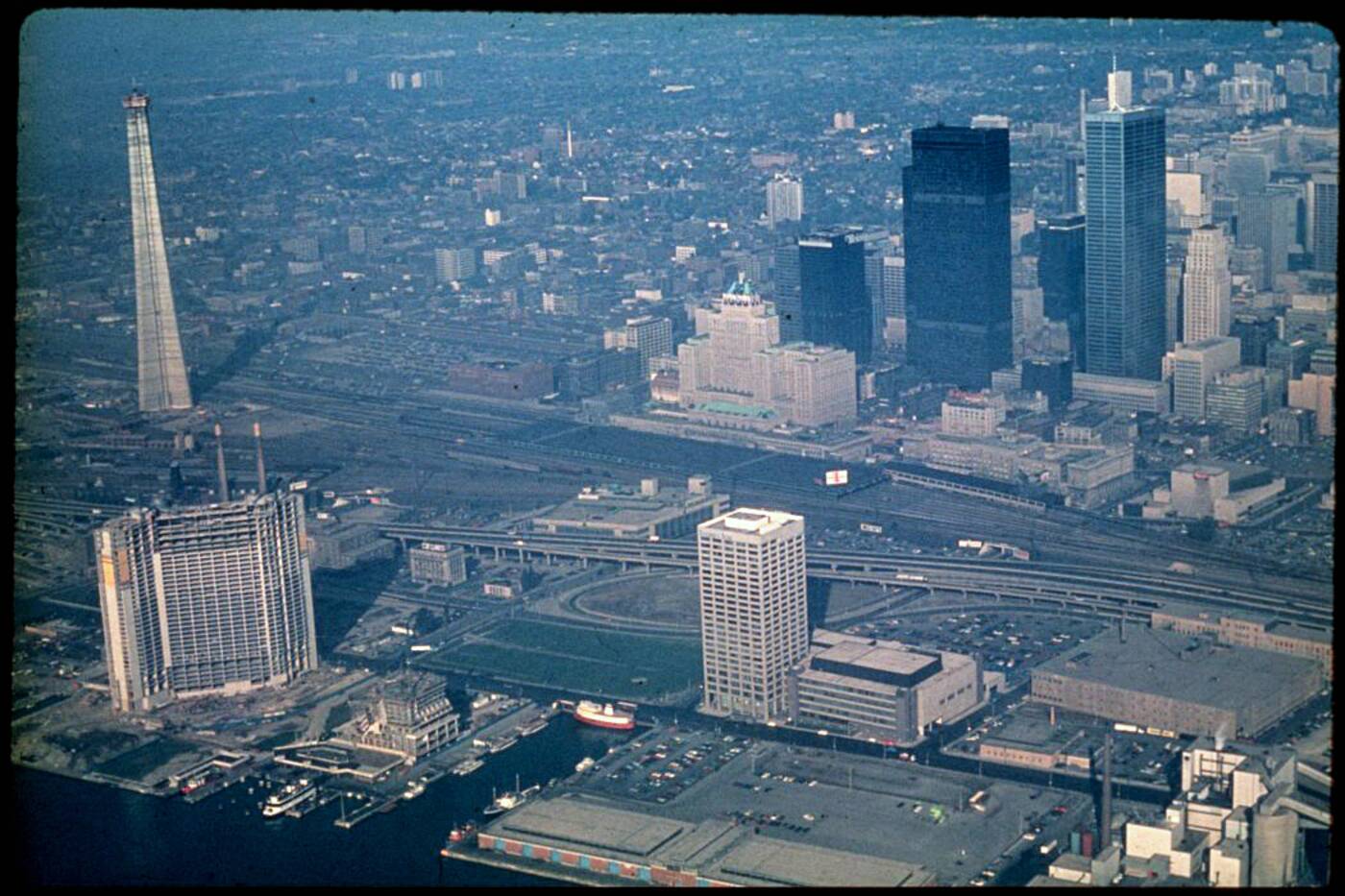
The CN Tower rises over the sprawling Railway Lands in 1974. Photo via the Toronto Archives.
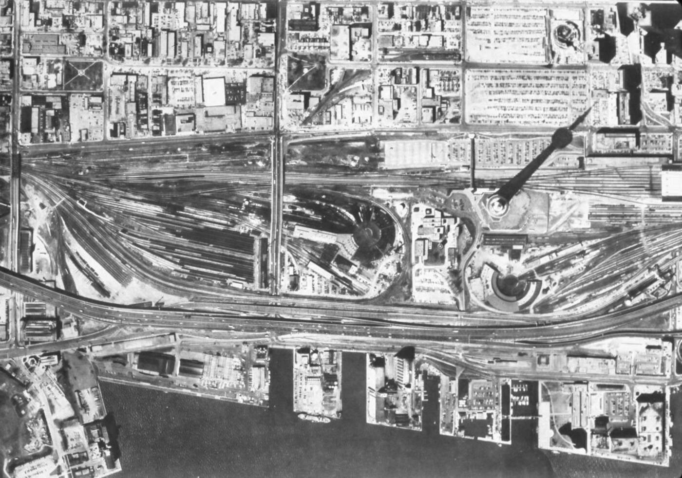
For a bit more perspective, this is how disconnected Toronto was from its waterfront in the 1970s. Photo via the Toronto Archives.
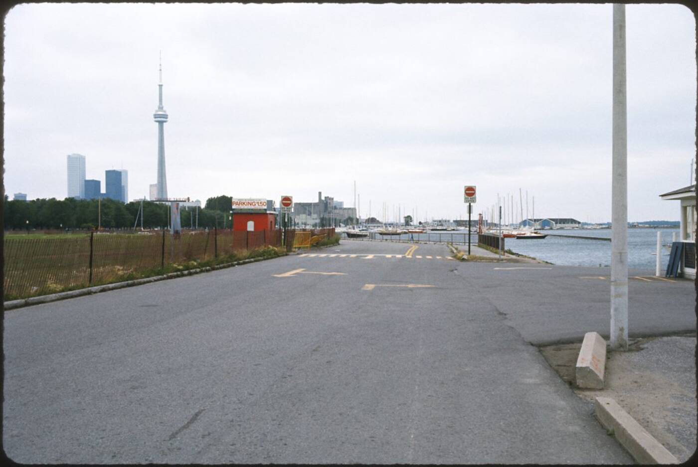
The roadway to the right in this photo from 1976 leads to what is now Trillium Park. This exact view doesn't actually look wildly different today, save for the development of the skyline. Photo via the Toronto Archives.
The eastern end of Queens Quay approaching Parliament St. Photo via the Toronto Archives.
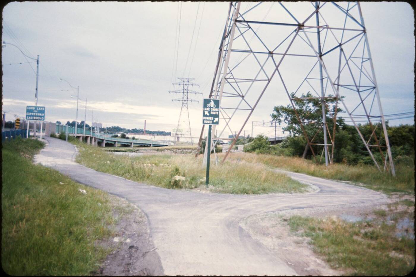
Back in the 1970s, there was no fancy Humber Bay Arch Bridge. These were the options for cyclists crossing the river. Photo via the Toronto Archives.
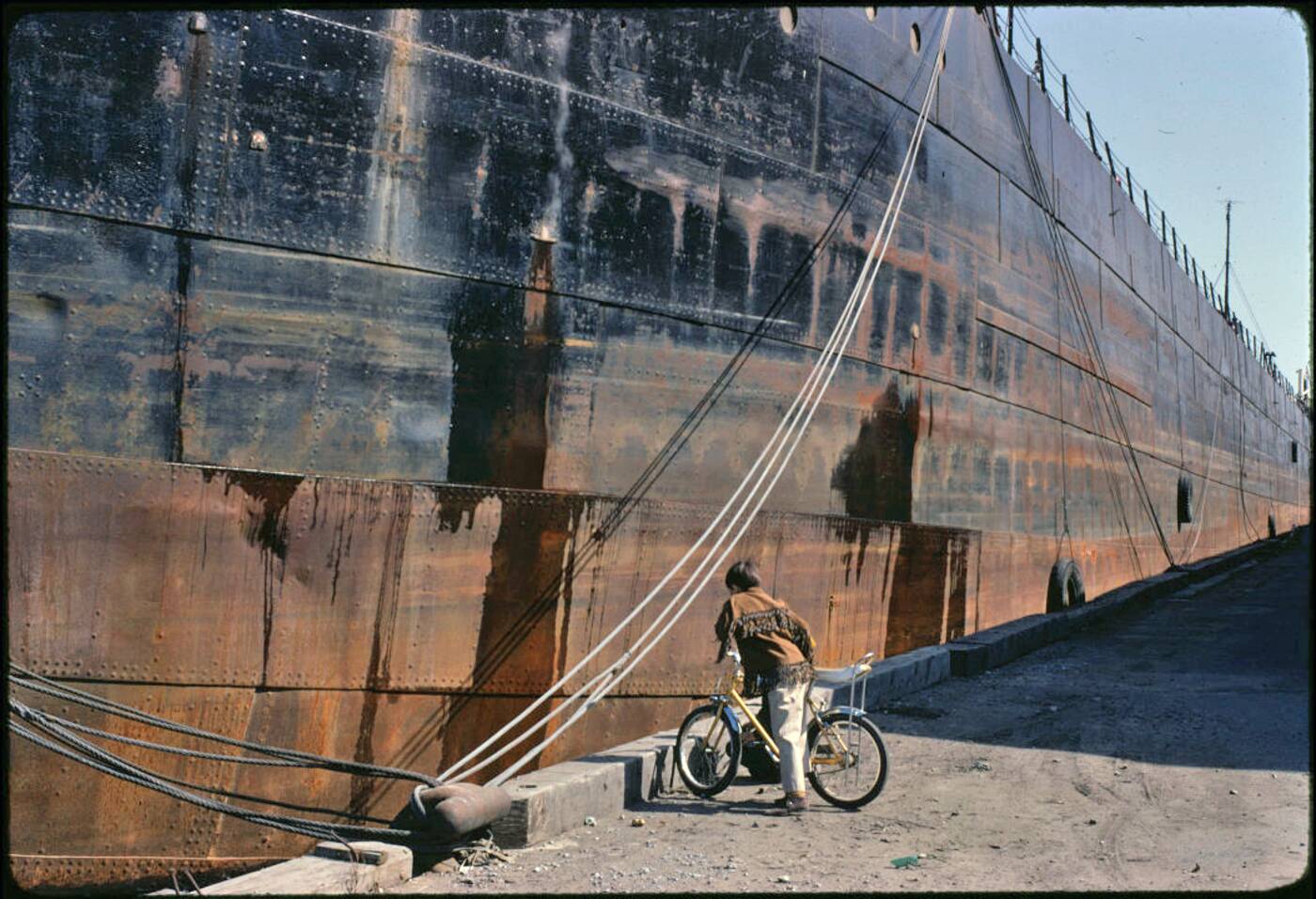
Someone checks out the massive hull of the Meaford cargo ship. Photo via the Toronto Archives.
Looking southeast across the Port Lands in the late 1970s. Photo via the Toronto Archives.
Toronto Archives.


