What Dundas West used to look like in Toronto
Dundas Street is something of an oddity. Unlike most of the city's arrow straight roads, it winds, jogs, and bends its way from the border with Mississauga, intersecting twice with Bloor, before passing through downtown and petering out near Kingston Road.
The reason for the crooked route is simple: before the first world war, Dundas didn't exist east of Ossington. Instead, the road curved south and intersected with Queen.
Dundas was stitched together out of several minor streets through downtown and out into the east end: Arthur Street between Ossington and Bathurst, St. Patrick Street from Bathurst to McCaul, Anderson Street to University, Angnes Street to Yonge, then Wilton over the Don. Further the east, tiny back alleys and laneways took the Dundas name. Garages still face Dundas near Jones.
Where the roads didn't quite line up, the city razed properties and installed diagonal pieces of connective road. (Think Dundas just east of Bathurst and the east side of Yonge-Dundas Square where the road crosses Victoria.) Where the streets were better aligned, only minor deviations were needed, like the little chicane outside Toronto Police 52 Division.
Ossington finally got its intersection with Queen when work on Dundas was complete.
In the west end, through today's Junction and Etobicoke, Dundas follows a route laid out by the Queen's Rangers, a Loyalist military unit that was engaged in the American War of Independence and the War of 1812, as an east-west access road between Hamilton and the Town of York.
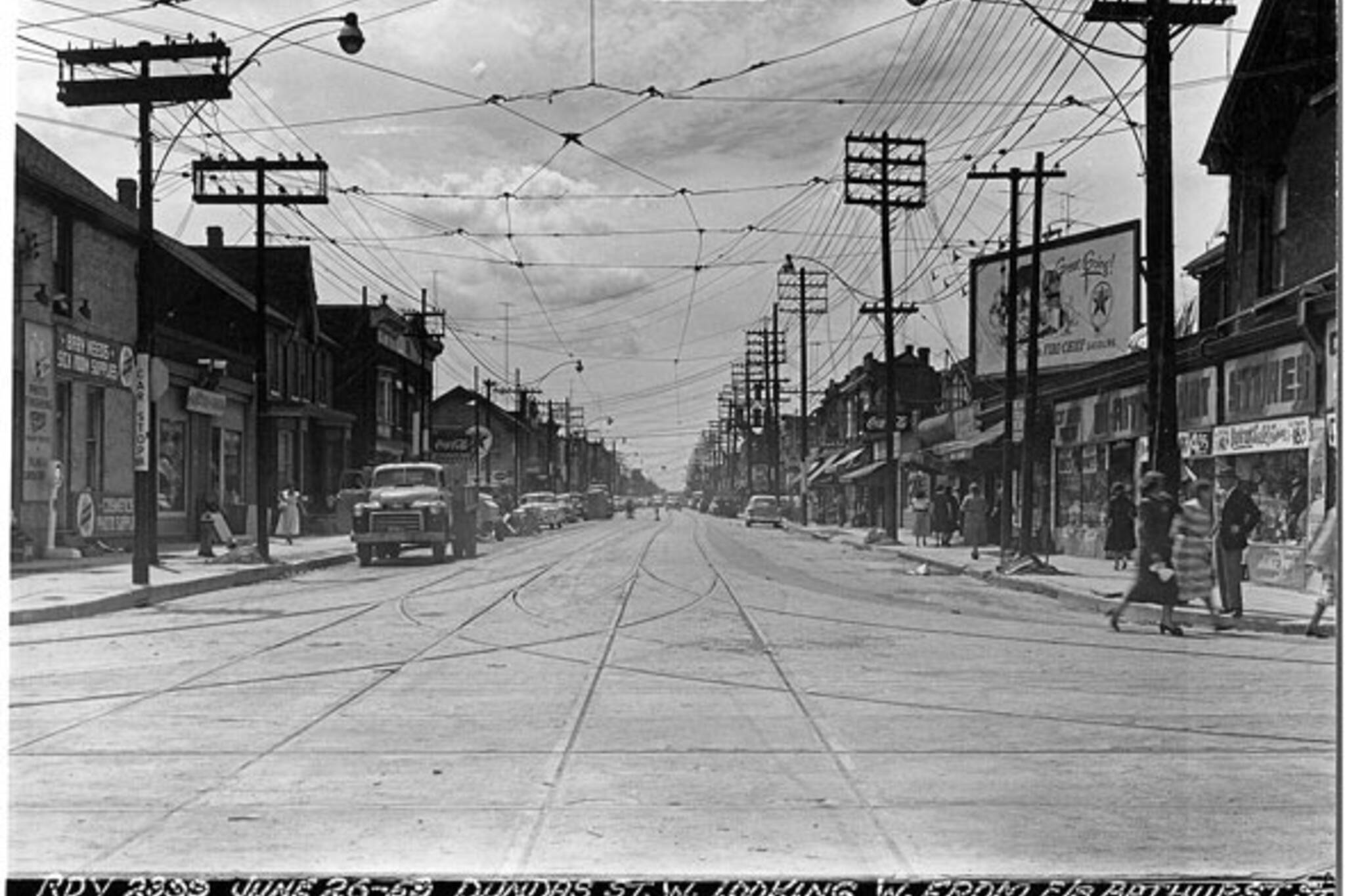
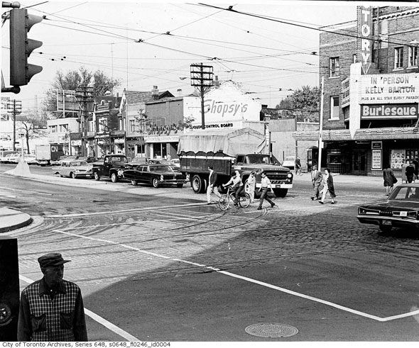
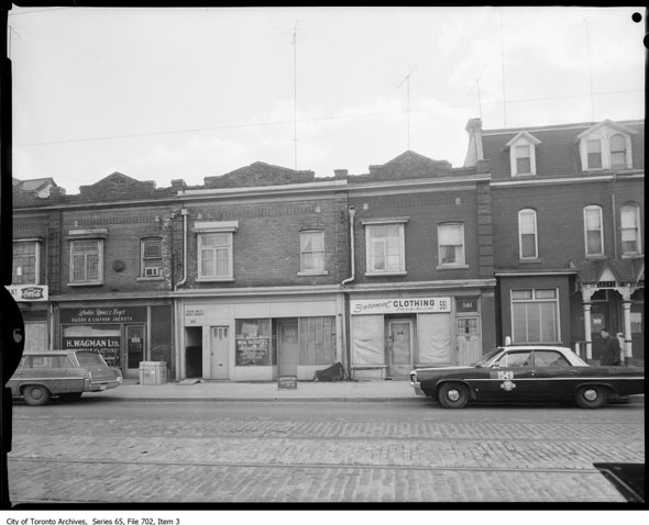
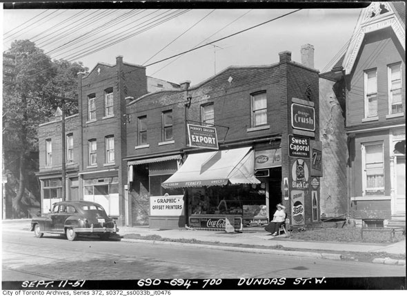
Fast forward a hundred years or so to when these photos are taken and parts of Dundas are heavily industrial. There are railway overpasses and underpasses, streetcar tracks down the middle of the road, and busy commercial strips. These pictures were taken at various times between 1920 and 1970 and are arranged in order from east to west, starting at Spadina.
This is what Dundas West used to look like.
Looking west north from Dundas and Spadina, 1968.
557 Dundas West near Kensington Avenue.
Convenience store near where Dundas curves north to Bathurst in 1951.
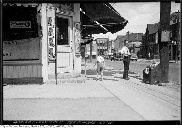
768 Dundas West, now an Alibaba's falafel, shawarma, and shish kebab outlet at the corner of Markham St in 1936.
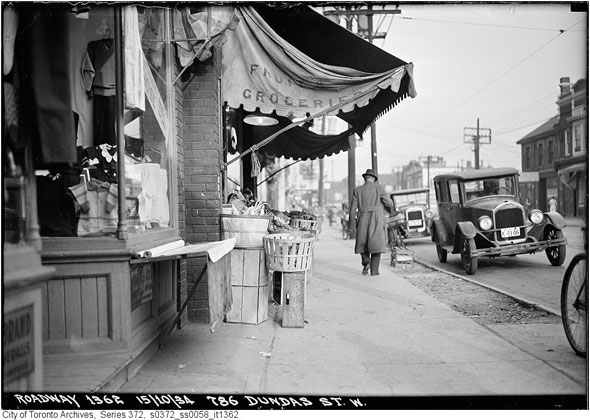
Fruit and groceries at number 786, just east of Palmerston. 1934.
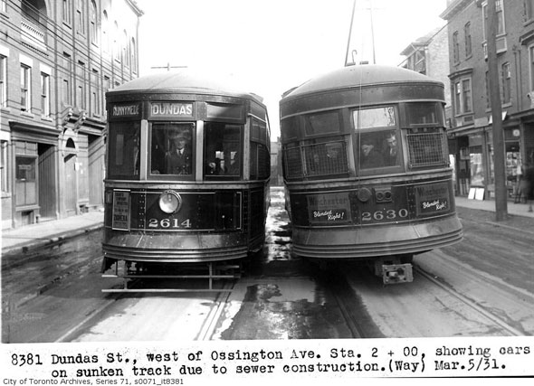
Streetcars tip at bizarre angles due to a collapsed sewer near Ossington.
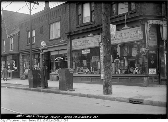
A curbside gas pump outside GBJ Stirrett and Son, southeast corner of Dundas and Brock, 1923.
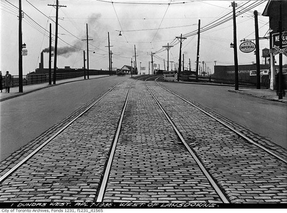
West over the tracks at Lansdowne, 1936.
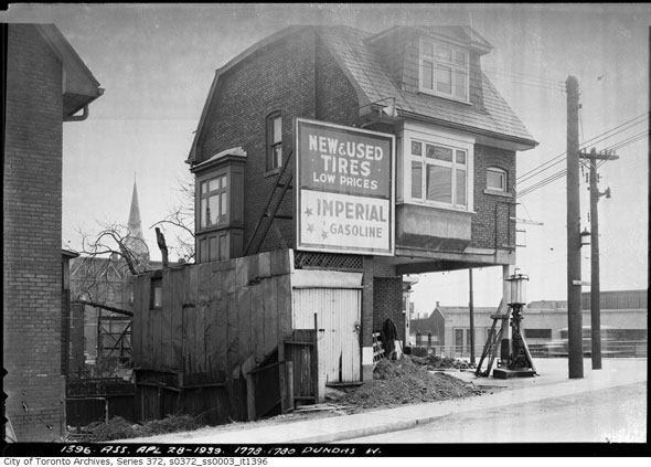
House converted into a gas station near Dundas and College in 1939.
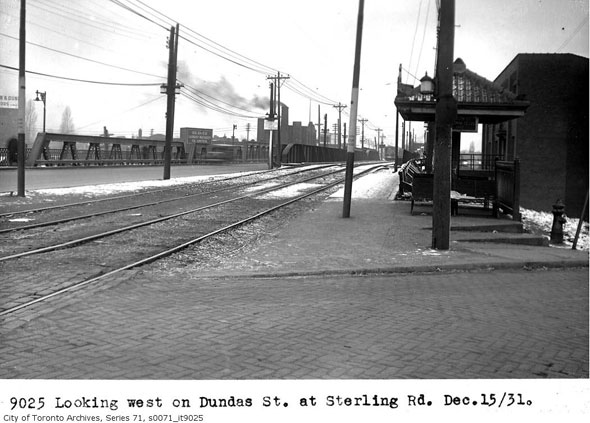
The old bridge over the rail tracks at Sterling Road, roughly where the West Toronto Railpath starts/ends today, in 1931.
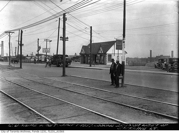
Dundas West and Sterling in 1937.
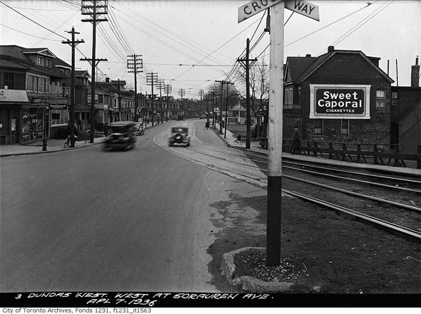
Pre-reconfiguration Dundas West and Sorauren, looking west, 1936.
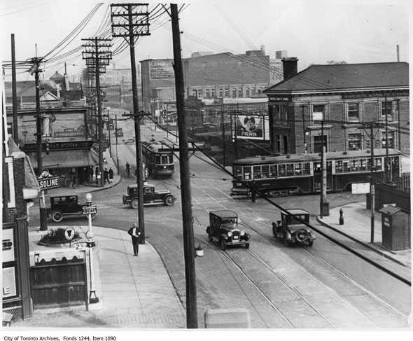
Aerial view of Dundas West and Bloor in 1927.
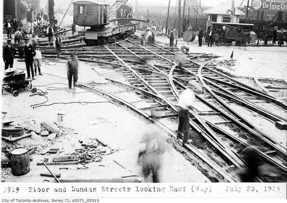
Track work at Dundas West and Bloor in 1925.
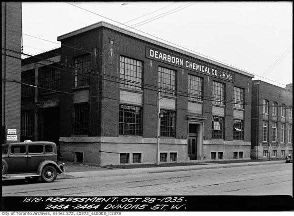
The Dearborn Chemical building a few blocks north of Bloor, next to the Ideal Aluminium Products factory (below.)
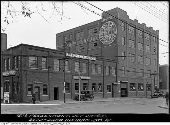
The Ideal Aluminium Products factory near Glenlake Ave. in 1935. Amazingly, the painted logo is still visible.
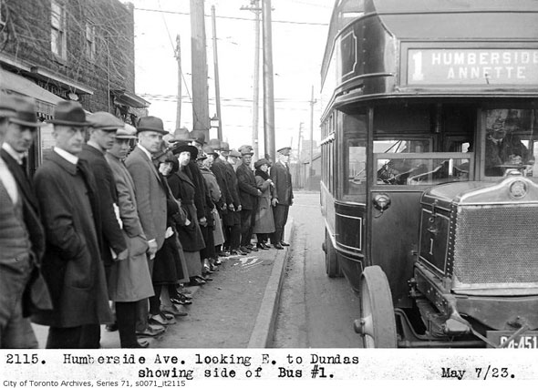
Sour faces in the line up for the bus on Humberside Ave. in 1923.
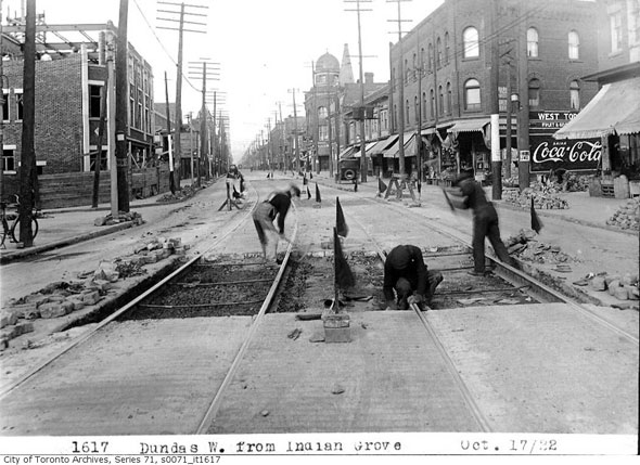
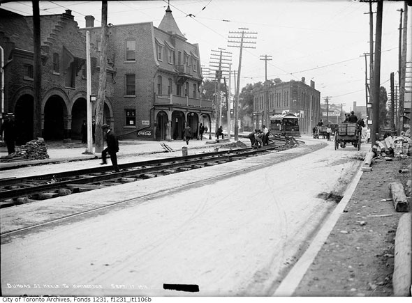
West over Indian Grove. Corner building with Coca-Cola ad is now the Junction Eatery.
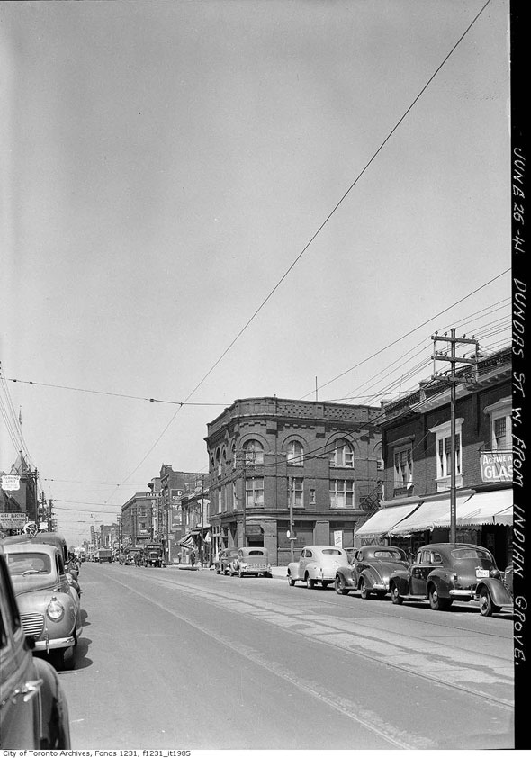
Similar view over Indian Grove 19 years later in 1941.
Looking southeast down Keele to Dundas, 1912.
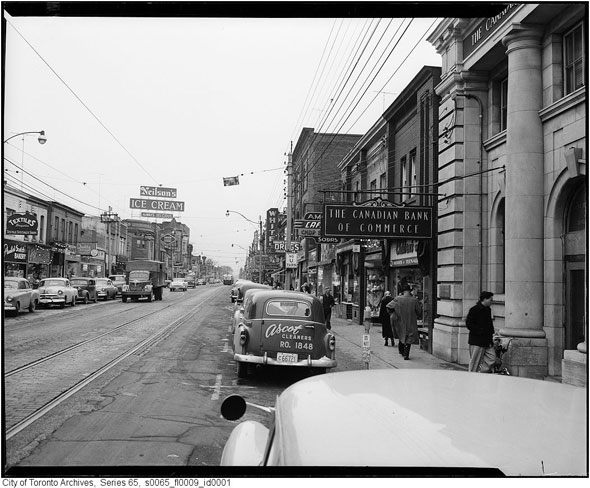
Dundas just west of Keele. Canadian Imperial Bank of Commerce sign outside what's now Residence at the Treasury in 1954.
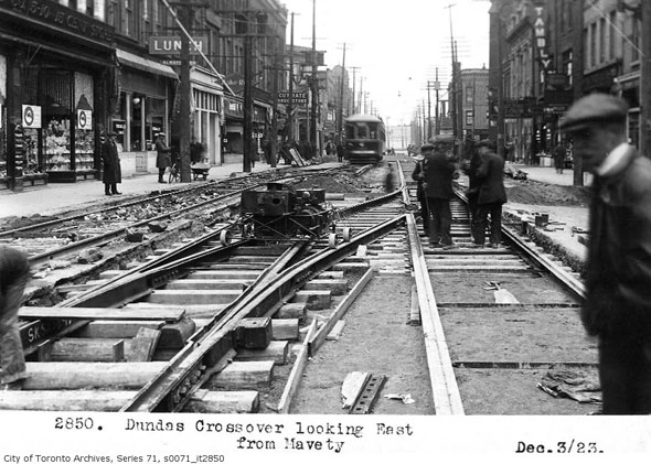
East from Mavety towards Keele on Dundas. 1923.
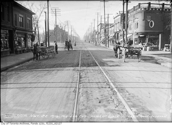
Looking west over Clendenan in 1916. Curved building still stands.
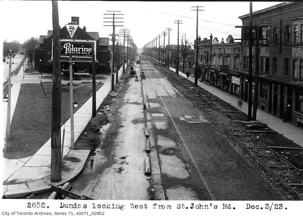
Aerial view of Dundas at St. John's Rd., 1923.
Chris Bateman is a staff writer at blogTO. Follow him on Twitter at @chrisbateman.
Images: City of Toronto Archives
Latest Videos
Latest Videos
Join the conversation Load comments


