What Ossington Avenue used to look like in Toronto
Ossington Avenue used to have many names. Perhaps most notably (and confusingly) the stretch that now runs between Dundas and Queen West was itself known as Dundas Street until it was renamed in the early 20th century. According to the Toronto Archives, other streets eaten up by Ossington over the years include "Denison Street (By-Law No. 1115, 1881), Lancaster Road (By-Law No. 5470, 1910)... and Dundurn Avenue (Registered Plan T4395, 1924)." At one point Ossington also extended up to St. Clair, though that portion of the street was later renamed Winona Drive.
In addition to this varied nominology, the street has also enjoyed a diverse character over its history. At first a lazy road servicing John Denison's Brookfield estate, which sat at the northwest corner of Lot (now Queen) Street), there wasn't much commercial activity until the mid-19th century, around the time that the original estate was demolished. Although no photos remain from this period, even those taken in the early 20th century show the dominant presence of the Provincial Lunatic Asylum at the southern terminus of the street â which is mirrored today by redevelopment efforts at CAMH.
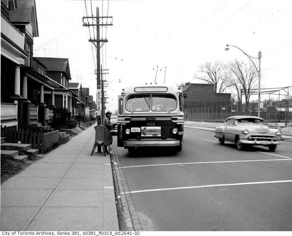
Ossington didn't extended north of Dundas until Garrison Creek was buried, and even today one can see traces of the former ravine throughout the area. For the most part, the character of this stretch, leading up to Bloor Street, has remained unchanged for the last 70+ years. Some photos of this area in the 1950s look eerily contemporary, though others featuring the presence of old trolley buses give their historicity away.
Although archival documentation of Ossington is decent, what we don't have much of is photos of what the street looked like between the 1960-1990s, arguably one of its most interesting iterations as a primarily industrial area. How wonderful would it be to look at images of what has now become a "trendy strip" back in the mid 1990s when auto garages and warehouses were the norm rather than the last remaining holdouts? If anyone has such photos in his or her possession, I'd love to see/share them.
This collection brings us up to the early 2000s, at which point redevelopment of the street kicks into gear. The change has been so rapid on Ossington that even Google's Streetview imagery from 2008/2009 reveals a very different place. And yet, as is so often the case, an attentive eye for the details reveals certain buildings and geographic features that have been around for 100s of years.
PHOTOS
Lots of re-routing and street name changes would take place in the following years
Ossington & Bloor, 1911
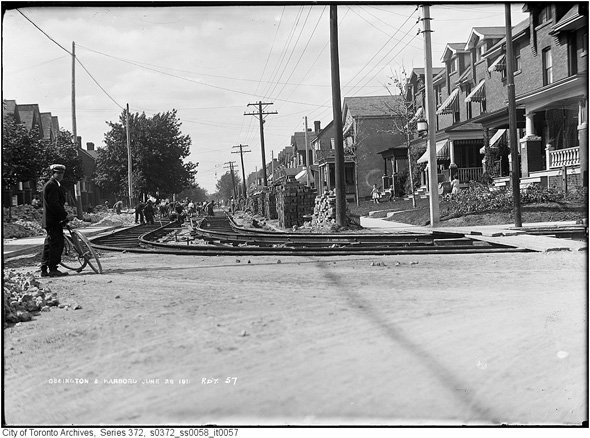
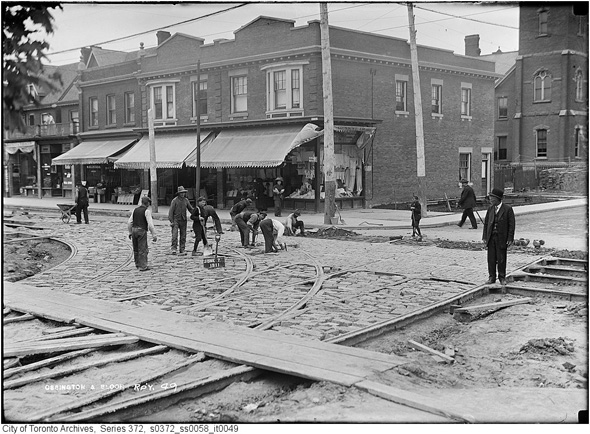
Ossington & Harbord, 1911
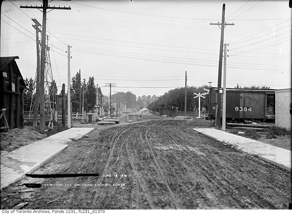
Just north of Dupont, pre-rail overpass, 1912
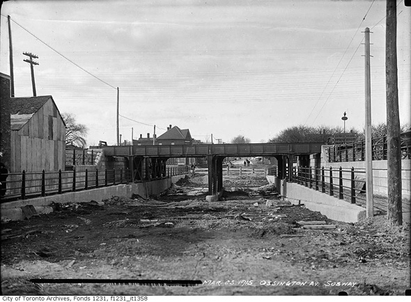
Railway overpass finished, 1915
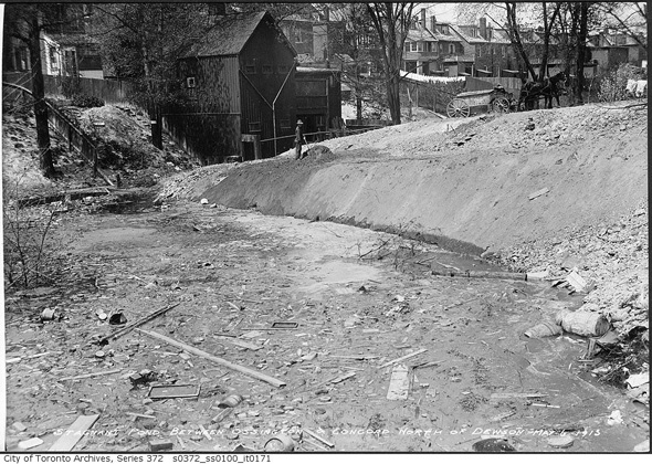
Signs of Garrison Creek near Dewson, 1915
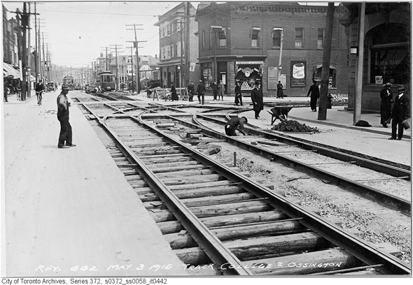
College & Ossington, 1915
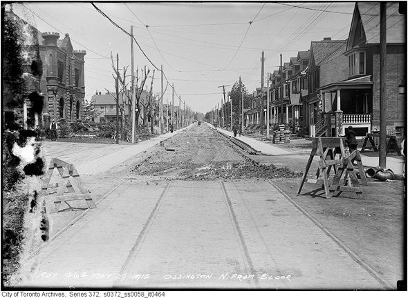
Ossington north of Bloor, 1915 (the current entrance to the TTC station would be at the bottom left of the frame)
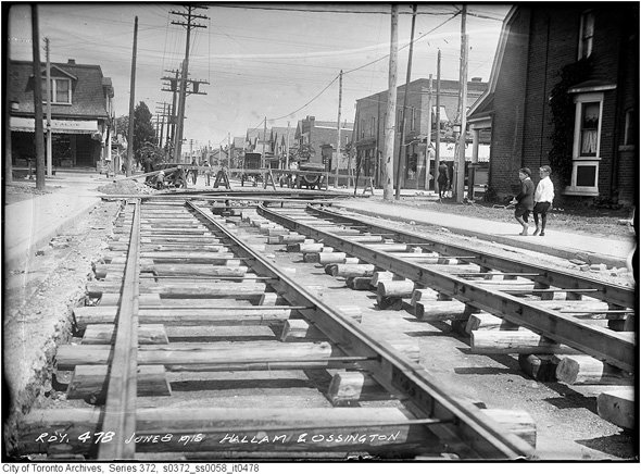
Ossington & Hallam, 1915
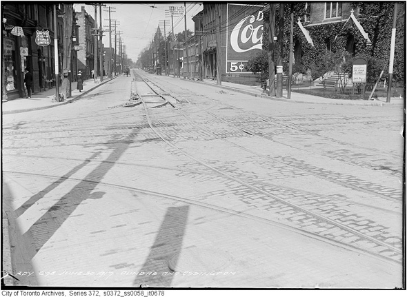
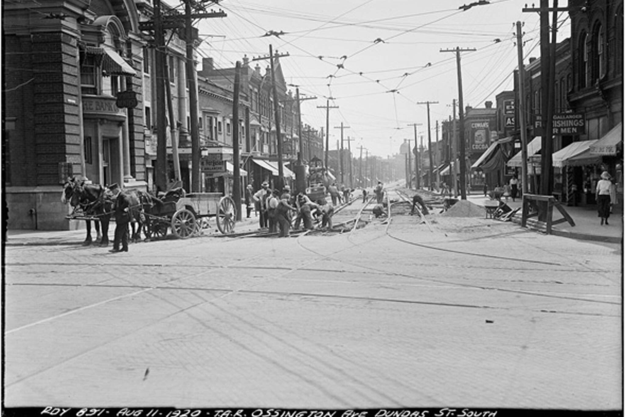
Dundas & Ossington looking west, 1917
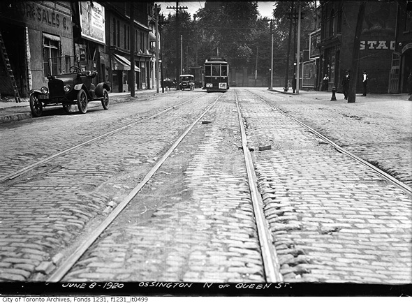
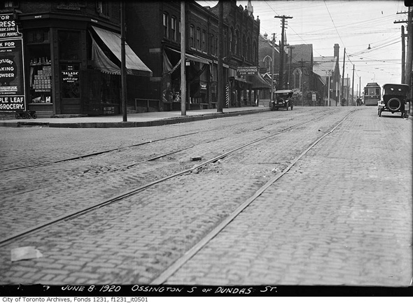
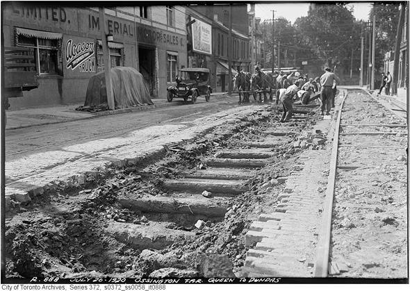
Ossington north of Queen, 1920
Ossington near Rolyat, 1920
Looking towards Queen, 1920
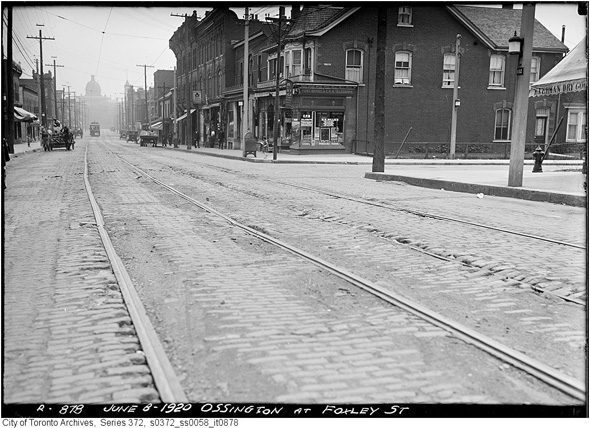
Ossington & Foxley, 1920
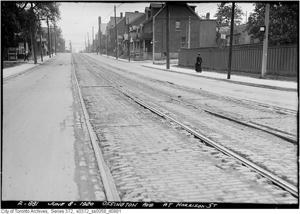
Ossington & Harrison, 1920
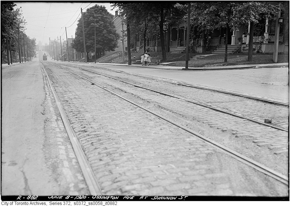
Ossington & Snannon, 1920
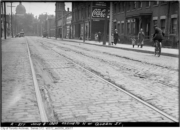
Ossington near Queen, 1920
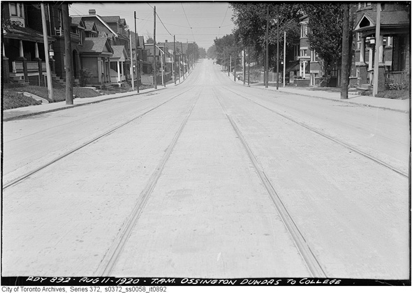
Looking north toward College, 1920
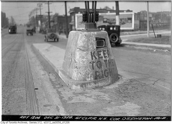
Ossington & St. Clair (now Winona & St. Clair), 1922
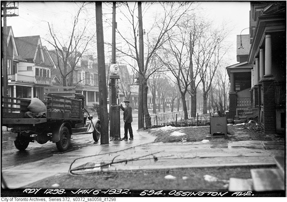
594 Ossington, 1932
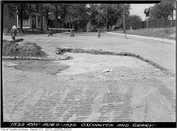
Ossington & Geary, 1939
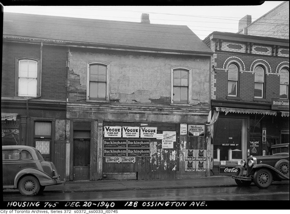
128 Ossington, 1940
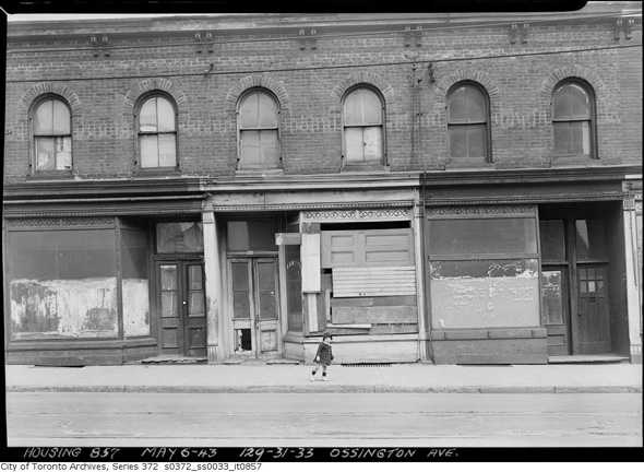
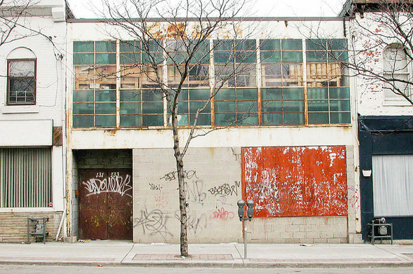
131 Ossington, 1943
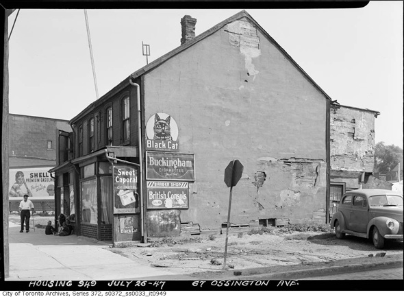
67 Ossington, 1947
Near Hepbourne, 1950s
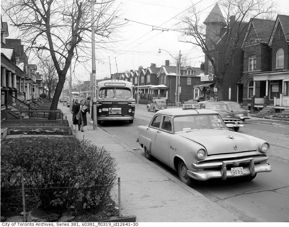
The Ossington bus in the 1950s
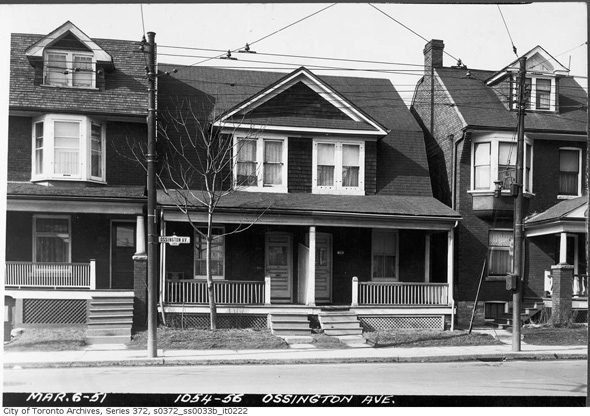
1054 Ossington, 1951 (this photo looks like it could have been taken yesterday)
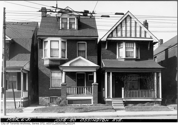
1058 Ossington, 1951 (ditto)
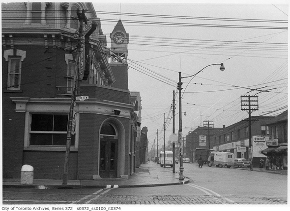
Ossington & Queen, 1958
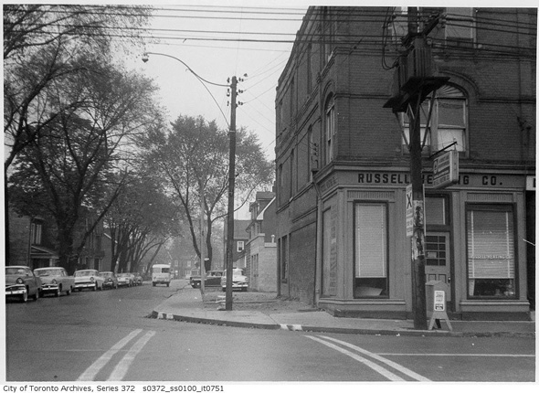
Ossington & Argyle, 1958
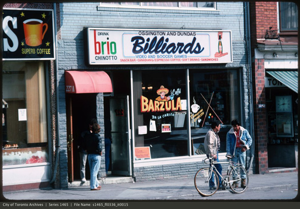
227 Ossington, 1980s (this is now the Saint Tavern)
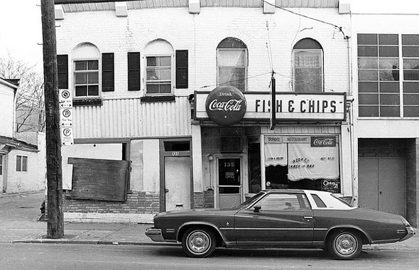
135 Ossington, 1981 via Patrick Cummins
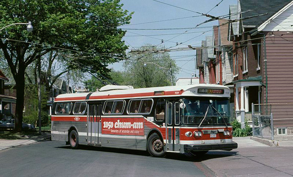
The 63, when it was a trolley bus, 1987 (via Wikimedia Commons)
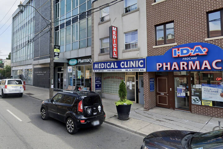
131 Ossington, 2011 (this is now the site of O'Born Contemporary) via Kevin Steele
Photos from the Toronto Archives unless otherwise noted
Latest Videos
Latest Videos
Join the conversation Load comments

_in_1987.jpg)