
A visual history of the Toronto Islands
The Toronto Islands have been the city's go-to summer day-tripping spot for over 150 years now. The first horse-powered ferries started carrying folks across the harbour in 1833, and by the turn of the 20th century the western side of the Islands was already a bustling resort spot, anchored by the Hanlan family who opened a hotel there in 1878.
The main stretch of the Island actually started as a peninsula, formed by deposits from the Scarborough Bluffs (see the 1818 map of York below) over thousands of years.
It wasn't until two huge storms, first in 1852 and then in 1858, ripped through the city, that the Eastern Gap was formed.
Although the Coney-Island-like atmosphere on the Islands died when the Hanlan's Point Amusement Park closed up shop in the late 1920s, the area still retained a sizable residential community until the 1950s when Metro Toronto Council sought to convert the Islands into City parkland.
Over the next 20 years, numerous homes were demolished, but residents on Ward's and Algonquin Islands continued to battle the City until late 1981, when the province granted them the right to stay until 2005.
The matter eventually come to a close in 1993 with the passing of the Toronto Islands Residential Community Stewardship Act, through which residents were granted the opportunity to buy 99 year land leases that ensured they could continue to occupy their homes.
The Island airport, which opened in 1937, has also see its fair share of controversy over the years.
Like the homes, however, it's not going anywhere. With the exception of Centreville and a few other business, the rest of the Islands remain tranquil parkland with ample beach areas and views of the Toronto skyline.
Here's what the Toronto Islands looked like over the past two centuries.
1810s
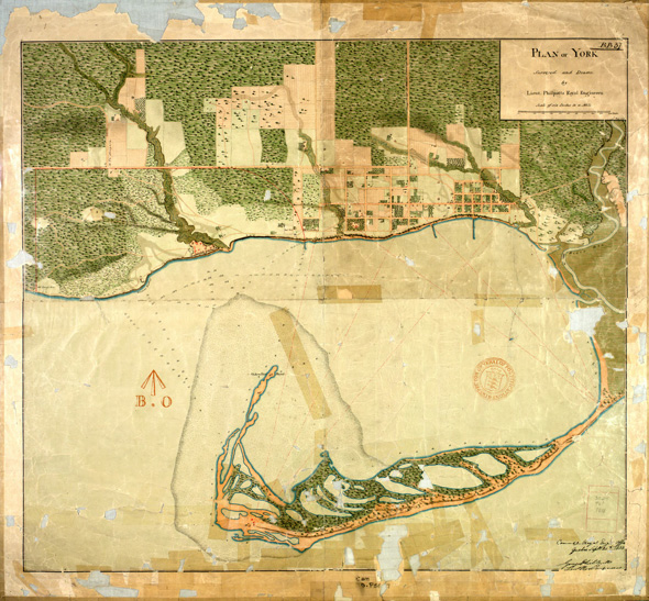
1818 Plan of the York Harbour
1830s
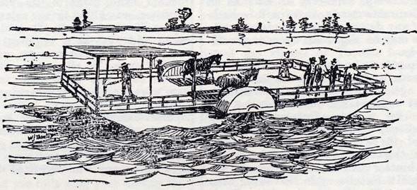
The first ferry boat
1890s
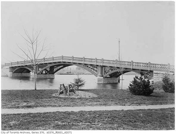
Island Bridge
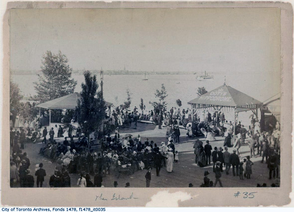
Dotty's Hippodrome
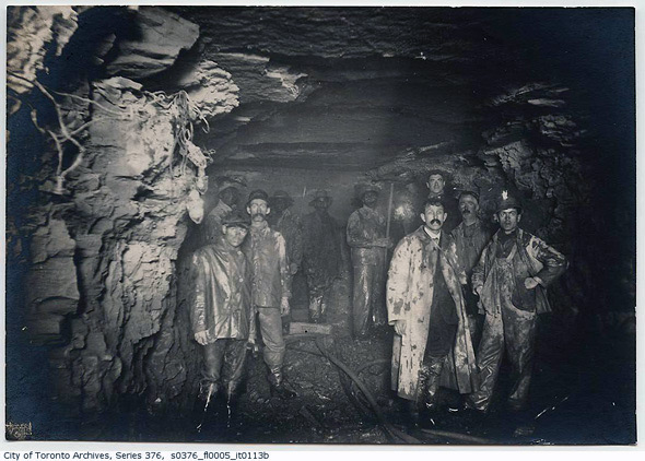
Island Filtration Plant tunnel
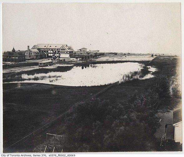
Elevated view of the Island
1900s
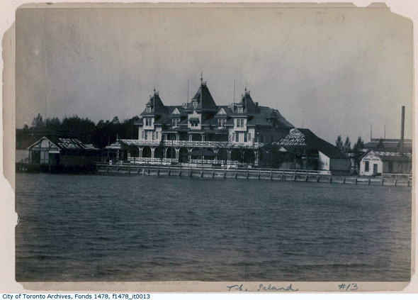
Hanlan's Point Hotel
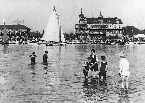
Hotel and Regatta
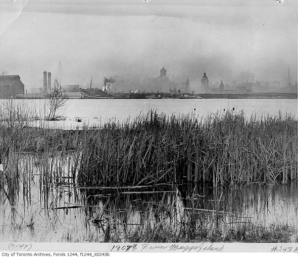
Toronto skyline from Mugg's Island
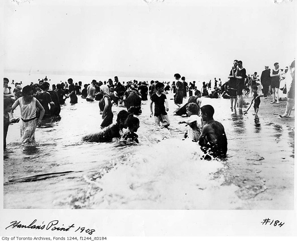
Hanlan's Point bathers
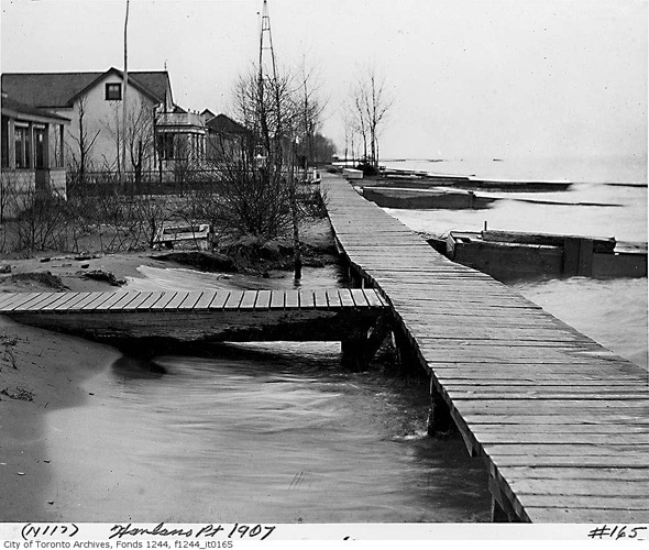
Cottages at Hanlan's Point
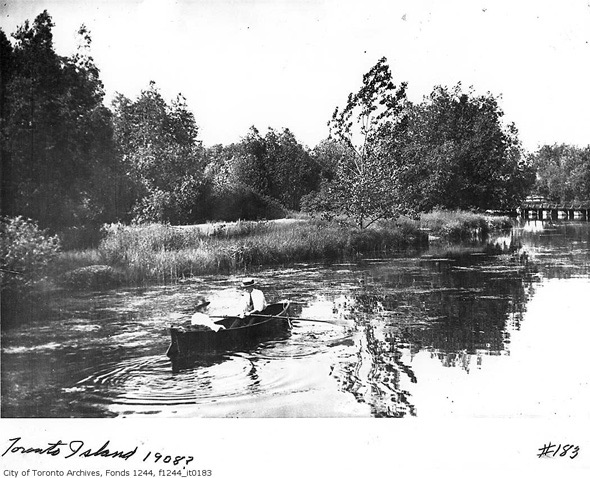
One of the Islands' many lagoons
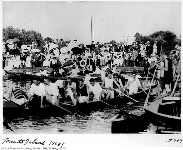
War canoes!
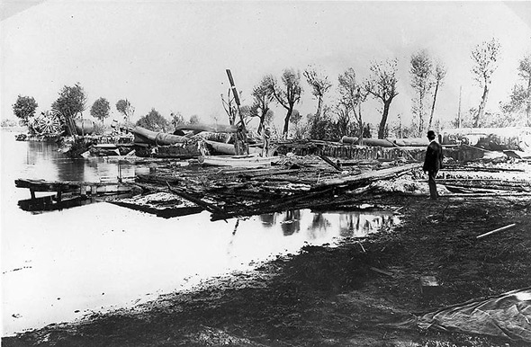
Ruins of the Hanlan's Point Hotel after fire
1910s
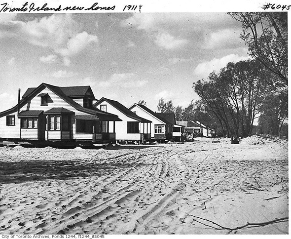
Island homes
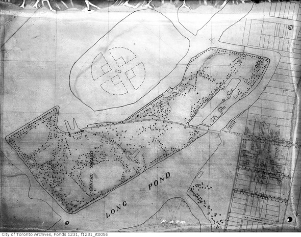
Centre Island map
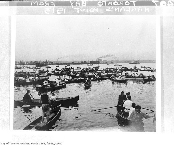
Island rowers
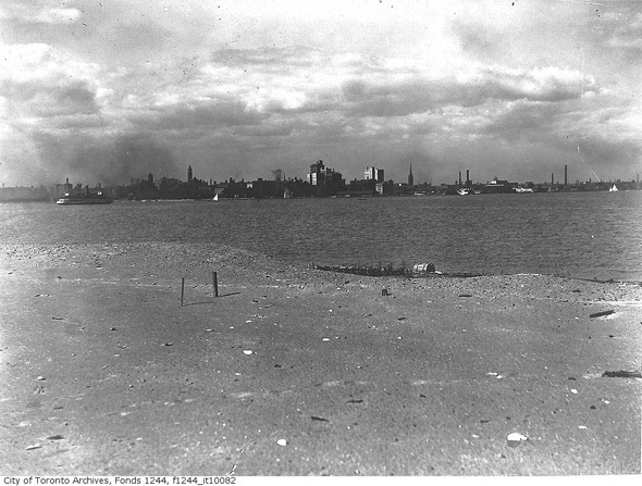
Toronto skyline
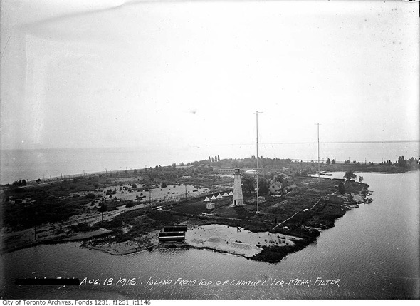
View of the Island from the Filtration Plant chimney
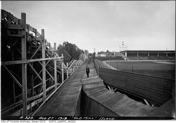
Hanlan's Stadium and Amusement Park
1920s
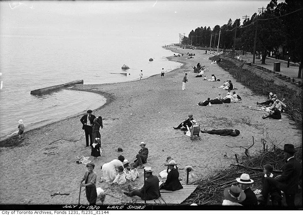
An Island beach
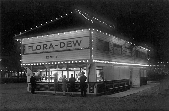
Concession stand at Hanlan's Point
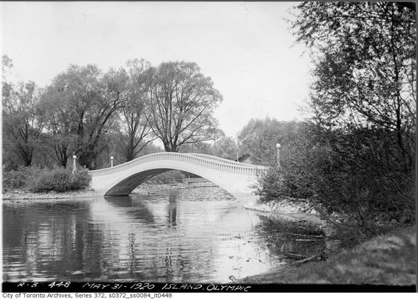
Olympic Island bridge
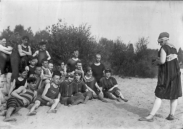
Swimming at Hanlan's Point
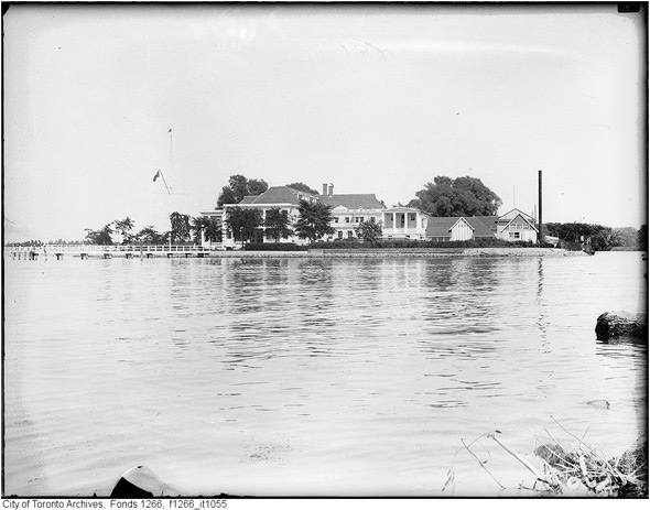
Royal Canadian Yacht Club
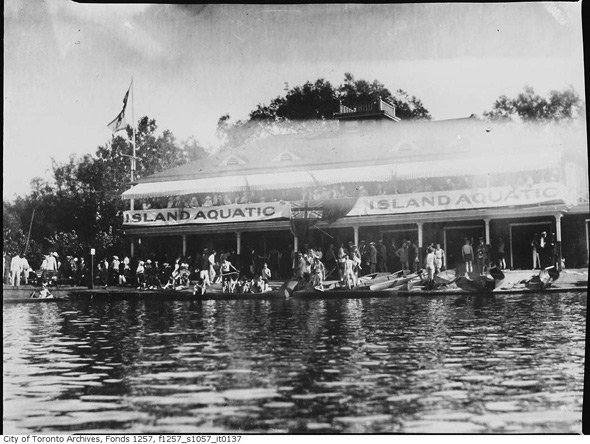
Island Aquatic
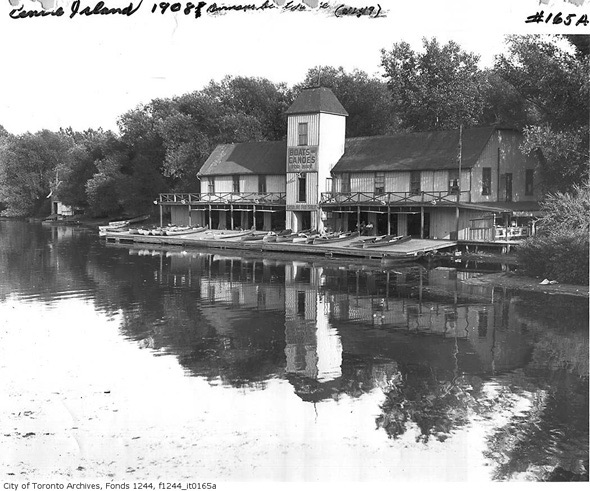
Durnan's Boathouse
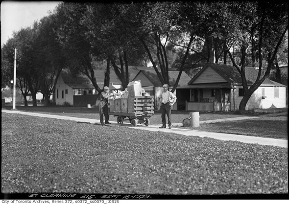
Garbage collection the old fashioned way
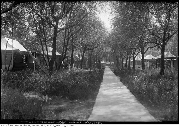
Island tents
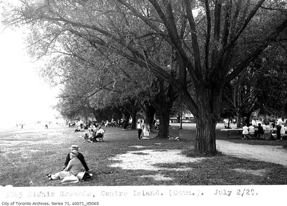
Picnickers
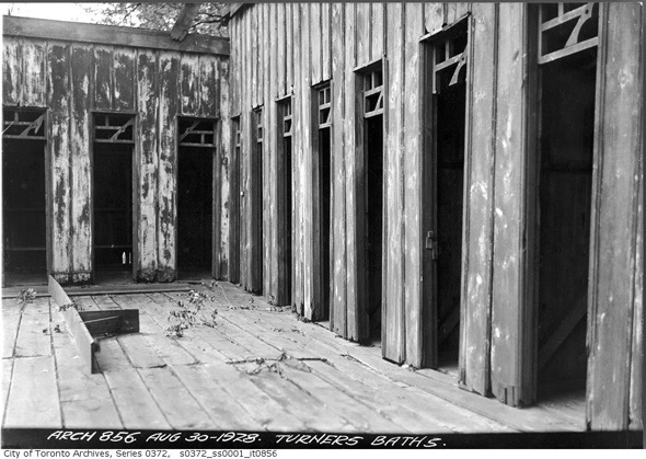
The Turner Baths
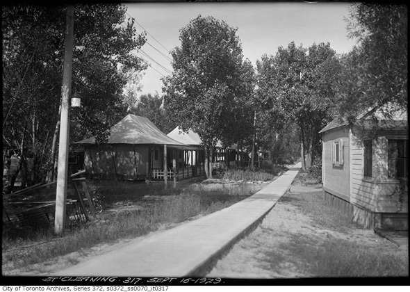
Island Homes
1930s
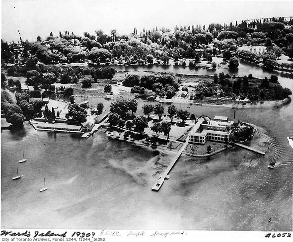
Aerial view
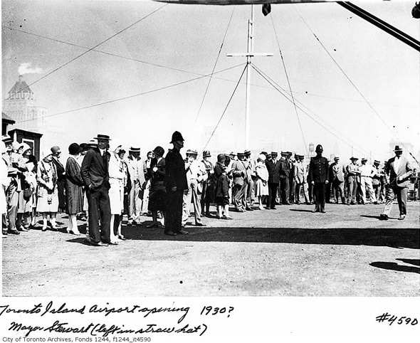
Airport opening
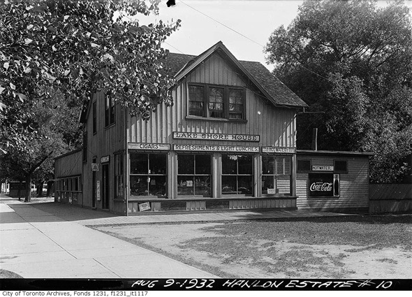
Lakeshore House
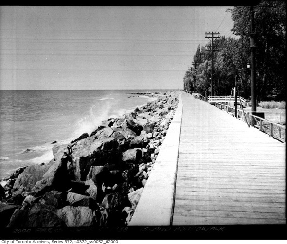
Island Boardwalk
1940s
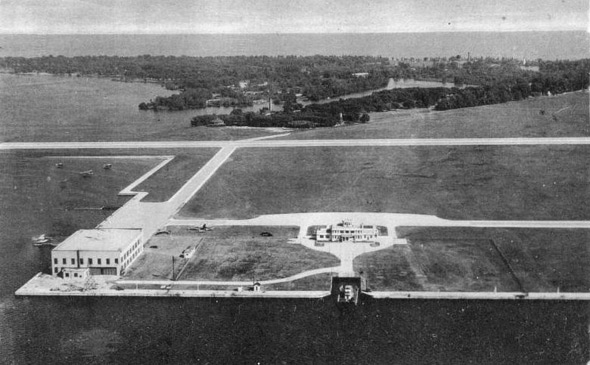
Island Airport
1970s

Centre Island train
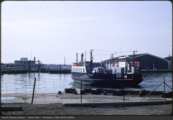
Airport ferry
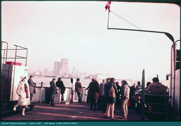
Island ferry
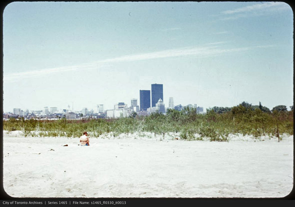
Hanlan's Point
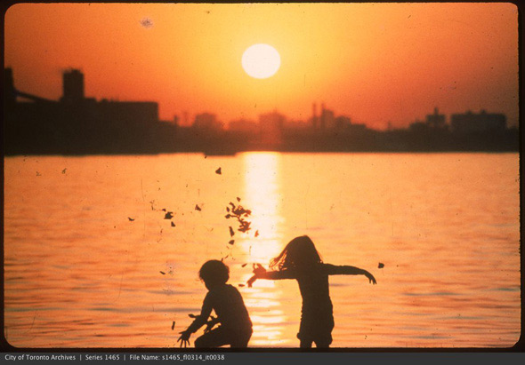
Sunset
The 2000's
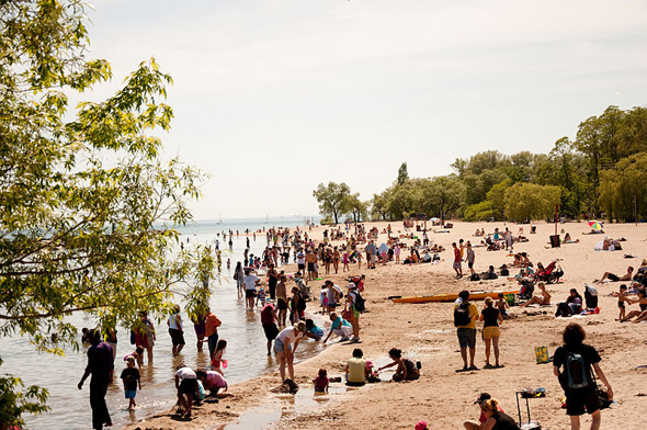
Centre Island Beach
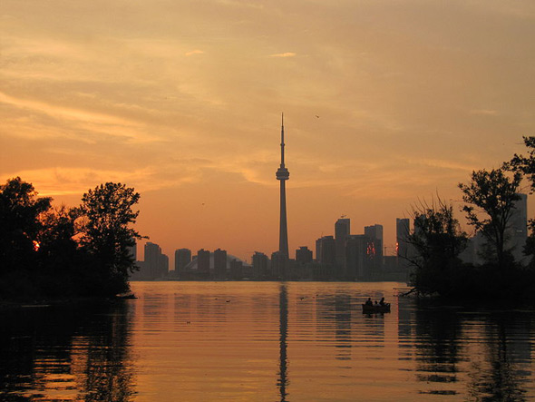
Toronto Skyline from 2010
Toronto Archives and the Wikimedia Commons
Latest Videos
Latest Videos
Join the conversation Load comments


