
100 Years of Yonge Street
Yonge Street has got to be Toronto's most interesting thoroughfare, particularly when one looks back at its history. Not only is it Toronto's longest street -- a fact which everyone seems to know and take some odd pride in -- but it's undeniably also the city's main artery. Over and above its choice as the origin of our subway system, the mere fact that it serves as the dividing line between east and west streets is evidence enough to underscore this point.
Although the downtown portion of it has been sanitized and corporatized over the last couple of decades, even today one can spot glimpses of its former glory as a retail strip. But to do so, it's useful to have a frame of reference. Luckily, Yonge Street has always attracted photographers. And because I'm always fascinated by its changing face when I do historical posts, I've managed to collect quite a few images of its many transformations.
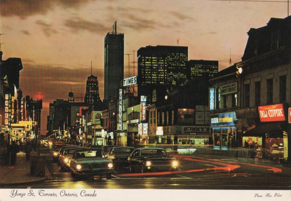
Here's a look at Yonge Street over the last century (the lead images does duty as the 2000s photo).
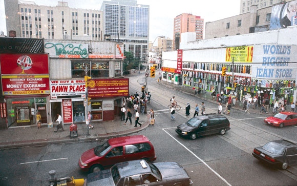
1990s
At Dundas
1980s
North of Dundas
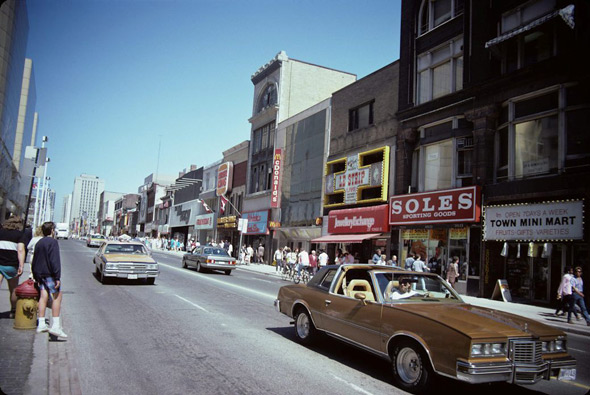
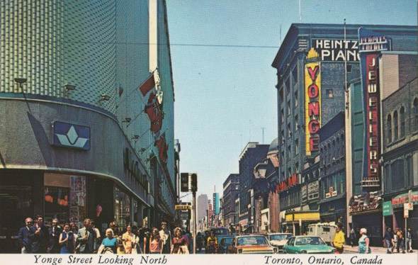
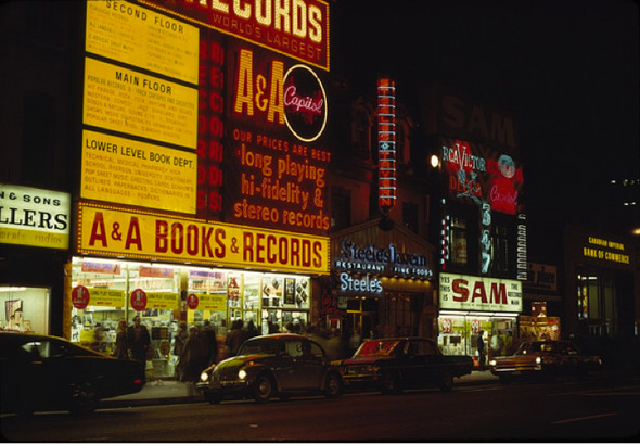
1970s
So much more vibrant
Record store days
Looking south from around Gerrard
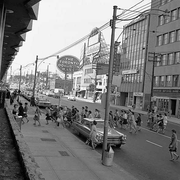
1960s
At Eglinton
1950s
Near Gould, prior to Sam the Record Man
Subway construction
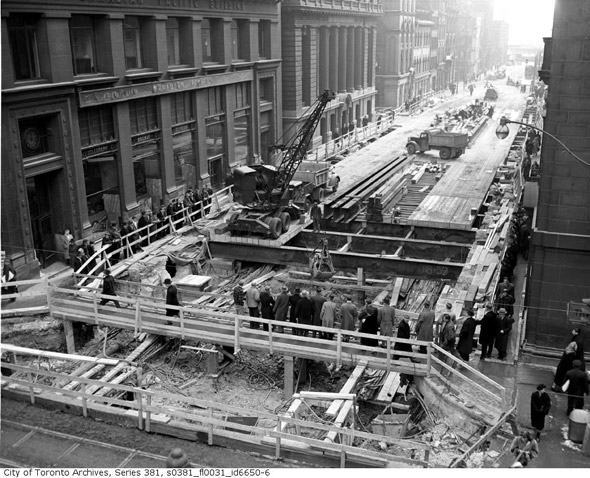
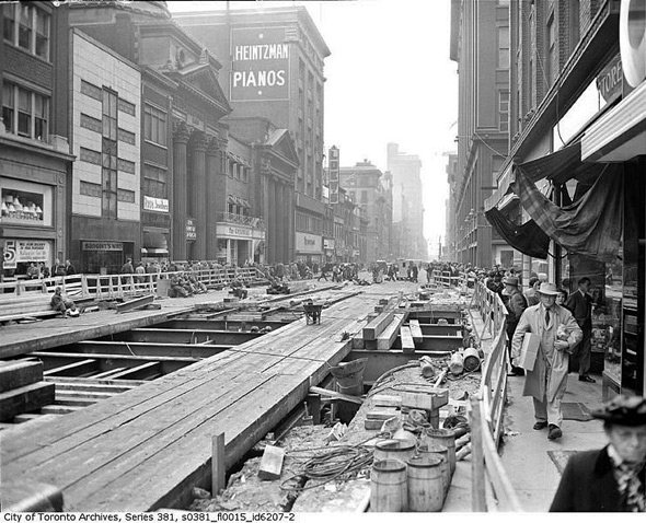
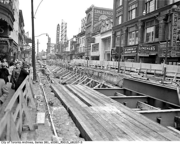
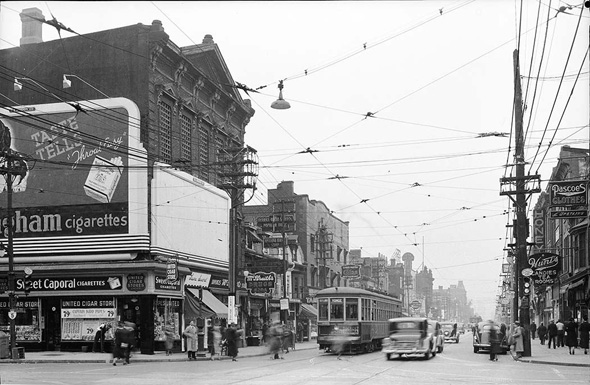
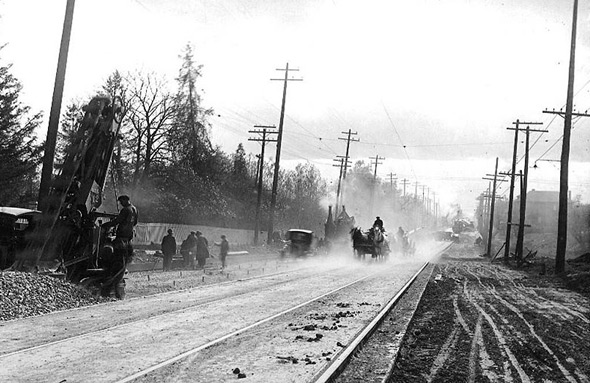
1940s
Subway construction
Ditto
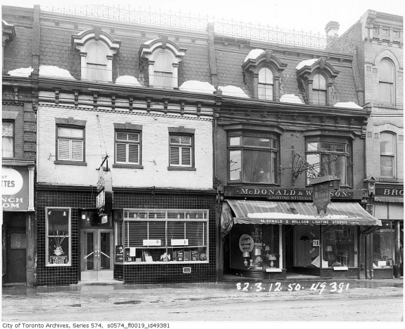
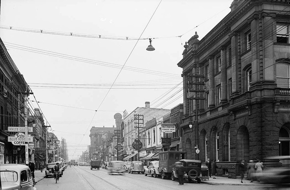
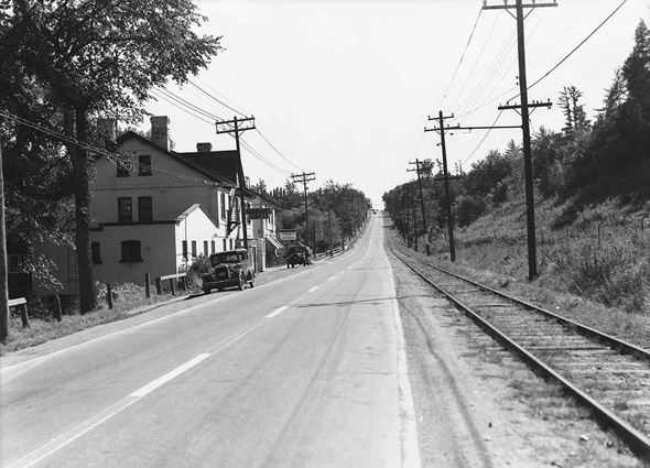
1930s
Looking north from Charles Street
Near York Mills
During the Great Depression
South from Bloor
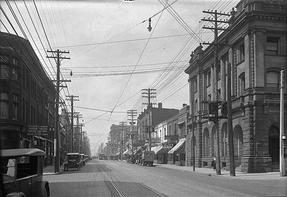
1920s
Looking north from Charles (x2)
Near Lawrence
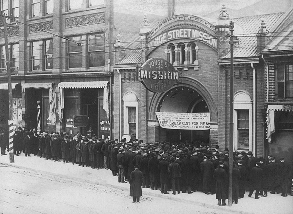
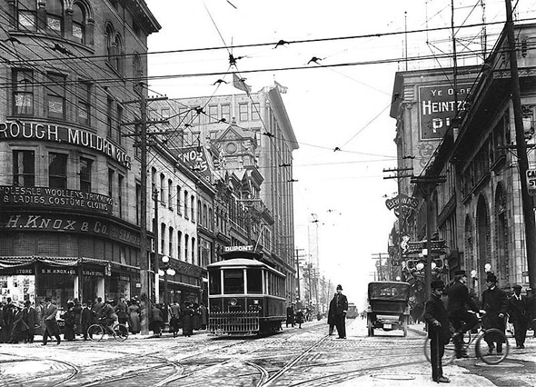
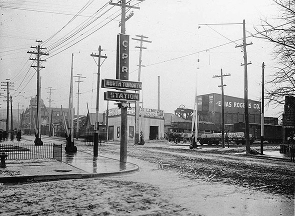
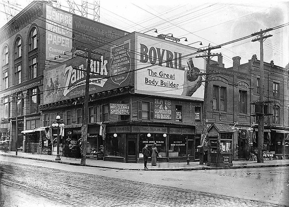
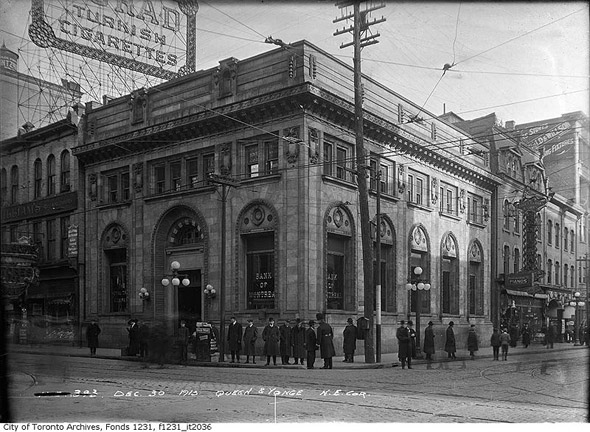
1910s
Looking north towards Queen
Southwest from the North Toronto CPR Station
Northeast corner at Shuter
At Queen
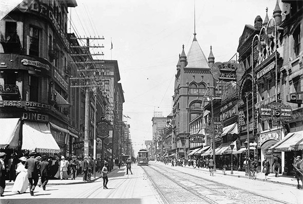
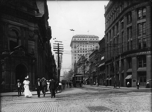
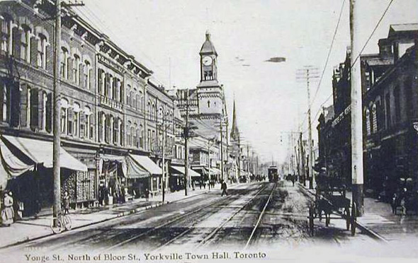
1900s
Looking north from Temperance
At Front
North of Bloor
All images from the Wikimedia Commons and the Toronto Archives, except: lead photo by the author, photo of Yonge and Dundas from the 1990s via Toronto Life, postcards from Chuckman's blog.


