Toronto's NYE weather forecast just dropped and it looks like the new year will start yucky
New Year's Eve is shaping up to be a bit of a bust again in Toronto this year — or at least far less-festive than what we were used to pre-pandy, thanks to the furious recent spread of Omicron.
The highly-contagious COVID variant has decimated not only the city's workforce, shutting down bars, restaurants, other venues with staff outbreaks or health precautions, but has also crushed most people's plans for partying this NYE.
With strict social gathering limits now back in play, many events that had been scheduled to ring in the new year are now being cancelled (or moved into the metaverse) to control skyrocketing case numbers.
Your best hope to celebrate the transition from 2021 into 2022 among friends IRL is to gather outdoors, where up to 25 people from different households can hang out as long as they're not sick and follow all public health protocols.
But, if a newly-released forecast from the Weather Network is accurate, you may not want to.
"This long year of active weather will end on a settled note for much of Canada this Friday, but the active weather picks back up on both ends of the country by the first day of 2022," reads the Weather Network's New Year's forecast, subtitled "a stormy, frigid end to a tumultuous year."
Hey #Toronto. Have you been saving money on your heating bill so far this winter? Gonna have to crank it up mid-weekend with an influx of Arctic air. Wind chill near -18 by Monday morning pic.twitter.com/w4TEfzuZeV
— Meteorologist Natasha Ramsahai (She/Her) (@CityNatasha) December 29, 2021
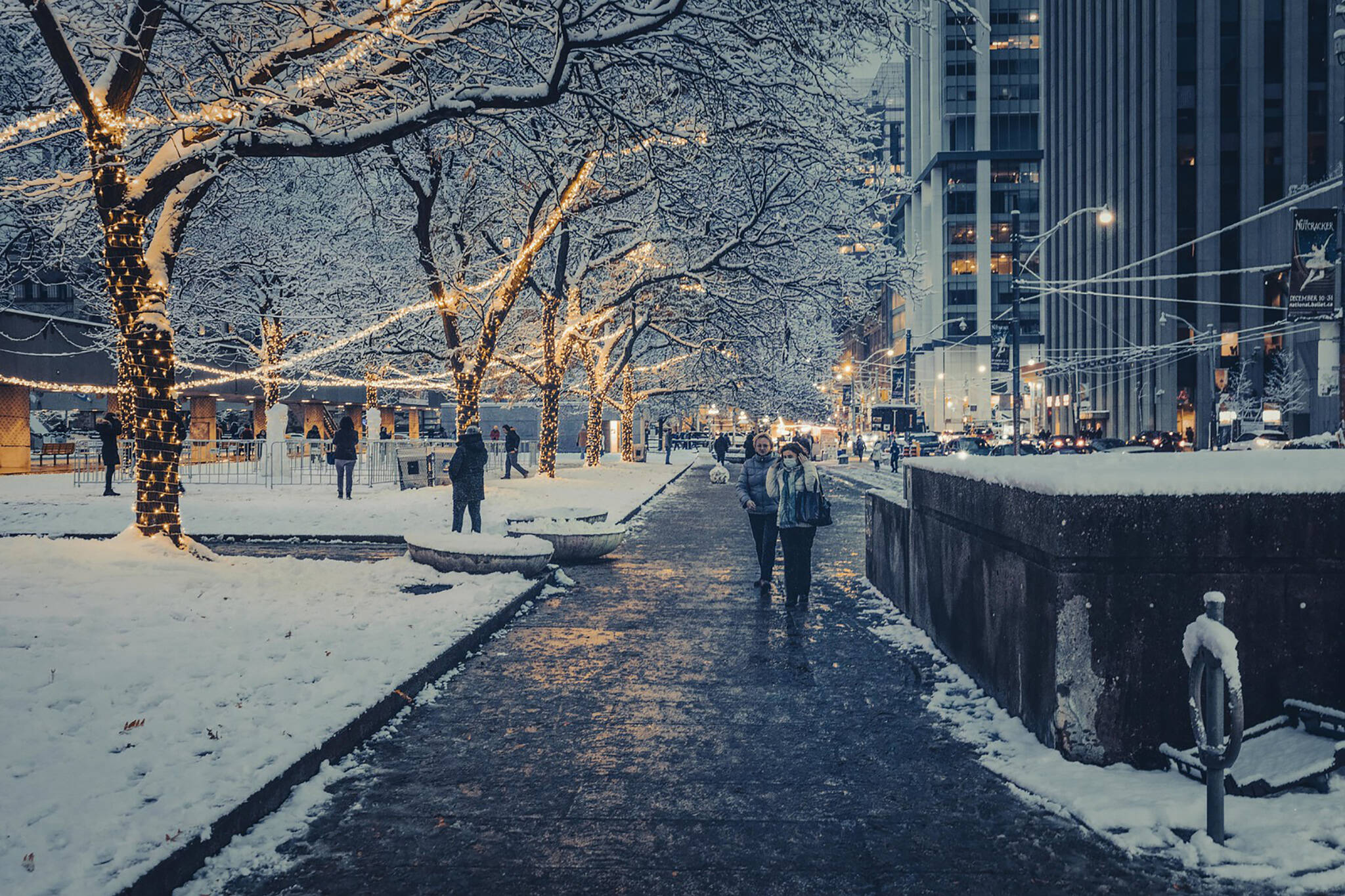
Toronto is expected to remain atypically warm, as is has been for much of the winter season so far, ahead of this year's big ball drop, but that's expected to change quickly at a most inopportune time.
"A Colorado low developing stateside will bring active weather to Ontario, Quebec, and the Maritimes come New Year's Day. The system will slide toward the Great Lakes on New Year's Eve, potentially bringing some light rain to southern Ontario overnight," writes the Weather Network.
Temperatures will dip from 4 C on Friday, if meteorologists are correct, down to -6 C overnight on Saturday.
By Sunday morning, it'll feel like -13 C with snow in the mix, and it only gets colder from there.
This abrupt shift from strangely warm to bone-chilling cold will bring with it some "active" weather, as the pros call it. The Weather Network says there will be "several opportunities for rain, snow, and ice" through the coming weekend as colder air settles in.
Depending on when the Arctic air arrives, messy precipitation could seriously muck up any outdoor plans this New Year's weekend in Toronto — but hey, it could be much, much worse: Vancouver just posted its lowest temperature in more than half a decade and it currently feels colder than -50 C in some parts of Manitoba.
We have little to complain about in that context... aside from the surprise resurgence of stupid COVID. Go away COVID-19, everybody hates you.
Latest Videos
Latest Videos
Join the conversation Load comments