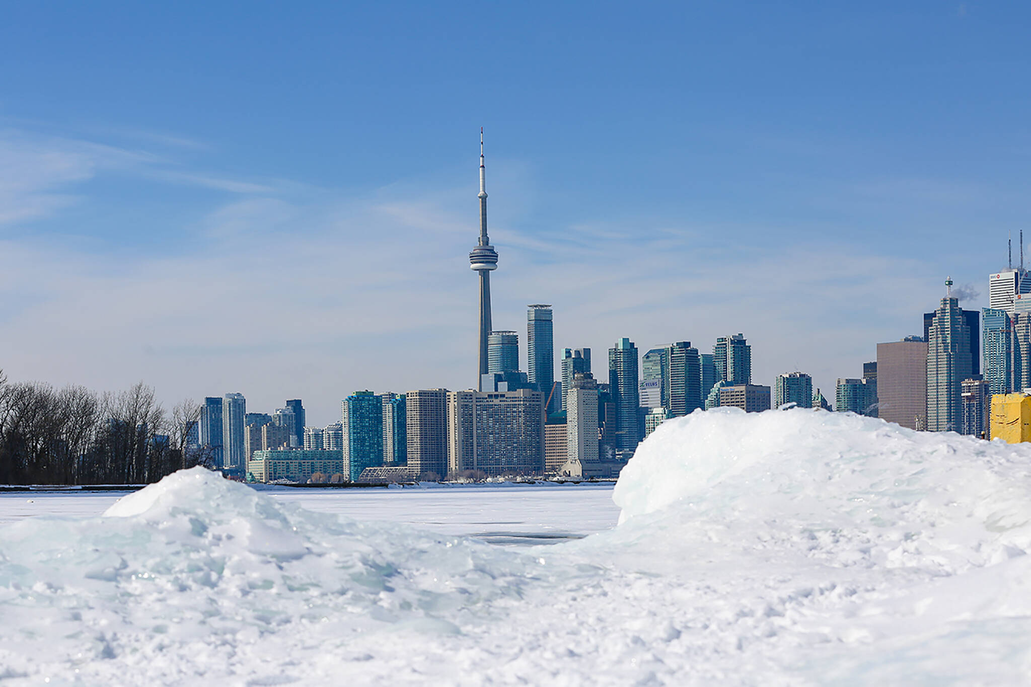
Toronto will see an abundance of snow leading up to the holidays this year
If you're dreaming of a white Christmas (or an atypically solid early ski and snowboard season) in Ontario this year, The Weather Network has some good news for you by way of an "official winter sneak peek."
Released Tuesday, the tentative long-term forecast predicts a "pattern flip-flop" across Canada as we fall into winter, going from warmer-than-normal pretty much everywhere east of the Rockies to either a "more traditional" or "much colder than normal" start to winter for Ontario and Quebec.
"Regardless, we should see an abundance of lake-effect snow across the traditional snowbelt areas east and southeast of the Great Lakes," writes Weather Network meteorologist Dr. Doug Gillham.
"Water temperatures are exceptionally warm for this time of year, so even 'typical cold' air could produce a few high-impact lake-effect snow squall events."
While still too early to say for sure if we'll see snow on Christmas Day, Gillham says that conditions are right to "help most ski areas to build a great snow base before the holidays" — which, as any slope regular can tell you, doesn't happen around these parts much anymore.
Though warmer than normal temperatures have dominated the season east of the Rockies, a major pattern reversal is on the way as we look ahead to the end of fall and the beginning of winter in Canada.
— The Weather Network (@weathernetwork) October 19, 2021
The shift from balmy fall to snowy winter is expected to happen during the second half of November, thanks to the aforementioned jet stream pattern reversal.
"It is still too early to be highly confident as to whether this jet stream pattern will just give this region a more traditional start to winter (a rarity in recent memory) or whether this will result in a much colder than normal start to winter," writes Gillham.
"However, there are currently a few signals in the global pattern that point to a more wintry pattern leading up the holidays than many have become accustomed to in recent years."
There's good news ahead, however, for people who prefer warmer temperatures: Another major jet stream pattern change is in store for January and February.
This pattern change is, as of right now, expected to shift the coldest weather west to Alberta and B.C. while a "rather mild pattern" from the eastern U.S. moves its way up into Southern Ontario.
Brace for a change, Canada: Pattern flip-flop as we fall into winter - The Weather Network https://t.co/CTvHpRPiPN
— Cliff Pavlovic (@cliffpavlovic) October 19, 2021
"The question is, where exactly will the battleground setup? That will make a huge difference as to how this winter will be remembered near the 401 corridor, and also for Ottawa and Montreal," writes Gillham, noting that two scenarios are possible.
The first scenario would bring "frequent messy systems, with an abundance of snow and ice, and even rain at times" to the Toronto area, but without any consistent severe cold snaps.
The second would bring tons of snow to northern Ontario but "extended periods of very mild weather to southern Ontario," putting a swift end to that early snowboard season.
Meteorologists say they're keeping an eye on both and will have a better idea of what will actually happen when the Weather Network releases its official winter forecast on November 30.
Long story short: Expect plenty of snow to come earlier than what we've grown used to in November and December — but don't necessarily get too attached. It might not stick around for long.
Latest Videos
Latest Videos
Join the conversation Load comments