This creek-side trail is the lesser-known route near the East Don Parkland in Toronto
Newtonbrook Creek is a hidden gem situated right next to the East Don Parkland in north Toronto, and it comes with secluded forest trails winding around a river.
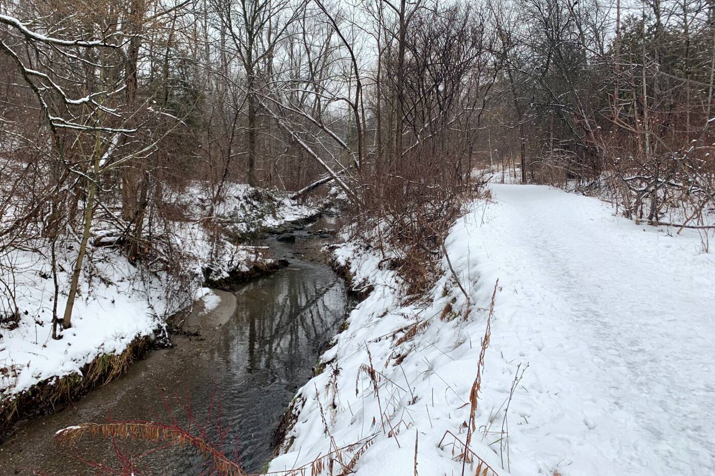
The pathway follows the Newtonbrook Creek the entire way.
If you're coming by TTC, the south entrance of the East Don Parkland Trail is a quick 10-minute walk from Leslie subway station. There's also a parking lot at this entrance.
To access the Newtonbrook Creek Pathway, enter the southern portion of the East Don Parkland Trail.
Heading southeast will bring you to the Betty Sutherland Trail. But to get to the Newtonbrook Creek Pathway, head west at the first fork in the East Don Parkland Trail.
Heading southeast after the staircase will get you to the Betty Sutherland Trail.
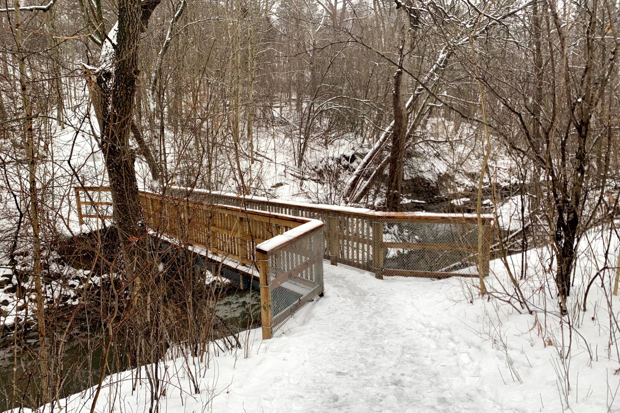
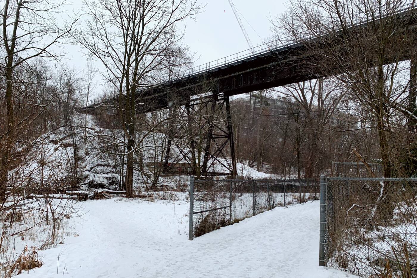
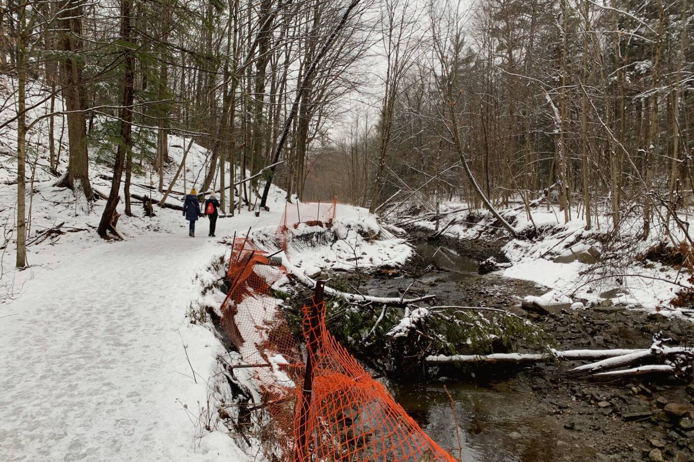
Cross the large steel bridge over the East Don River to make your way toward the much more secluded and hidden 5.3-kilometre out and back trail along the Newtonbrook Creek.
The large steel bridge at the first fork along the East Don Parkland Trail leads to Newtonbrook Creek.
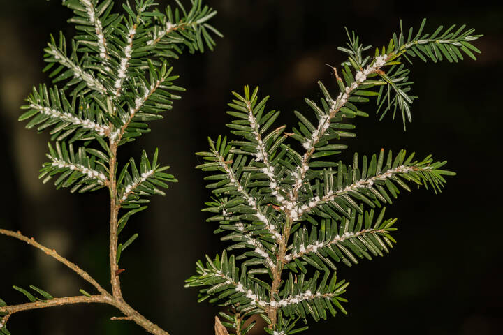
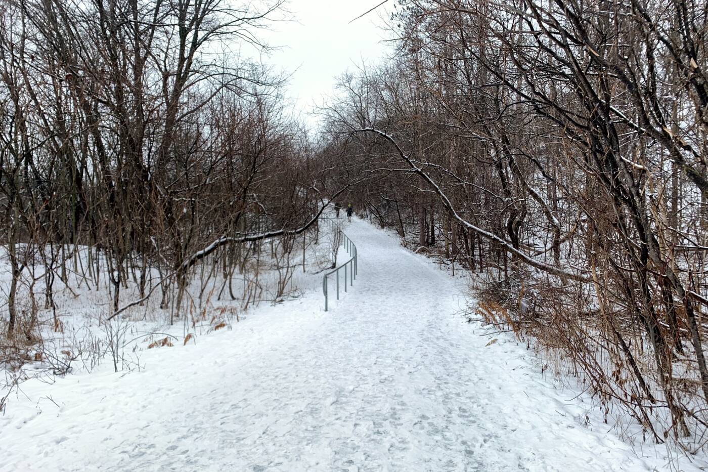
The paved trail becomes a dirt path as it curves northwest toward Bayview Avenue and Finch Avenue East. You'll quickly be enveloped by the heavily forested valley of black cherry, beech, skeletal beech and basswood trees.
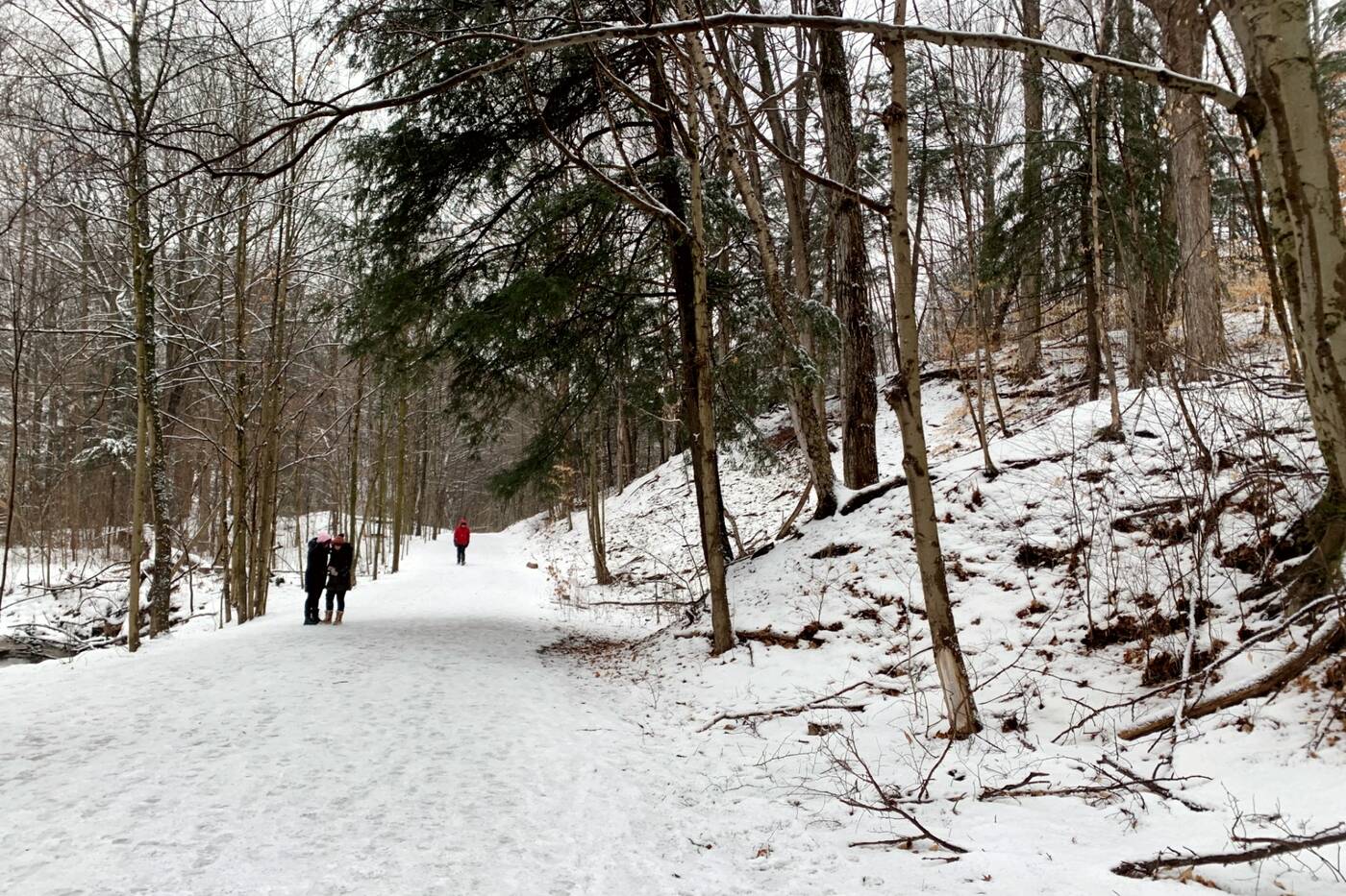
The main paved trail changes into a dirt path as the trail continues on.
Although some sections you'll find yourself surrounded by residential homes perched high above the ravine slopes on either side of the trail, the area still manages to feel quite separate from the rest of the city.
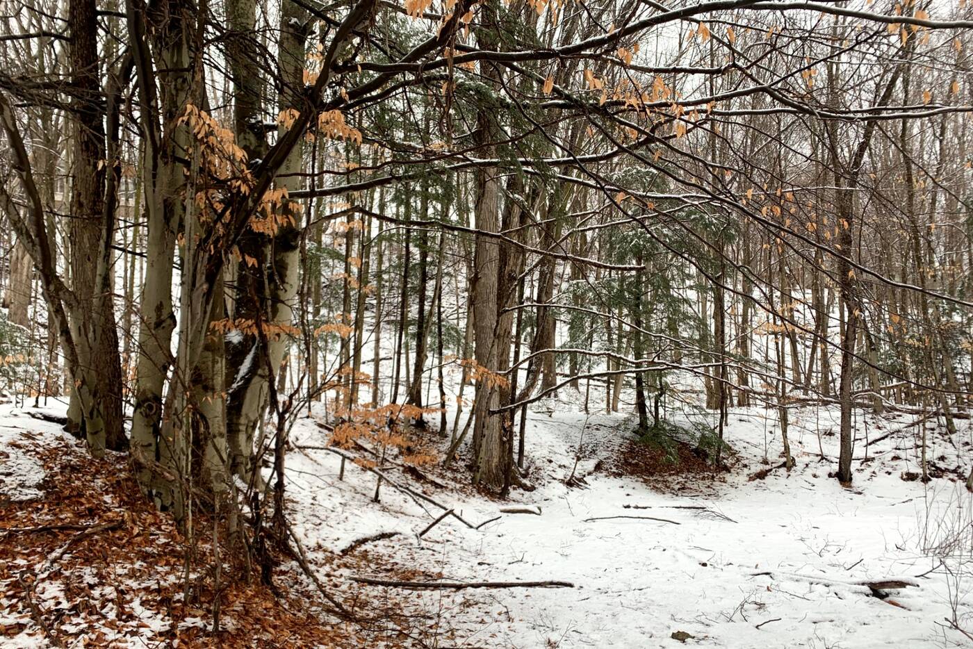
The forest near the creek is full of black cherry, beech, skeletal beech and basswood trees.
The elevation changes as well with some hills and turns following along the creek in the area making for a more interesting stroll.
Along the side of Newtonbrook Creek there are extensive sand deposits. The creek has cut through these indicating that it had a much stronger flow at times in the past.
The steep creek banks hint at a much deeper river in the past.
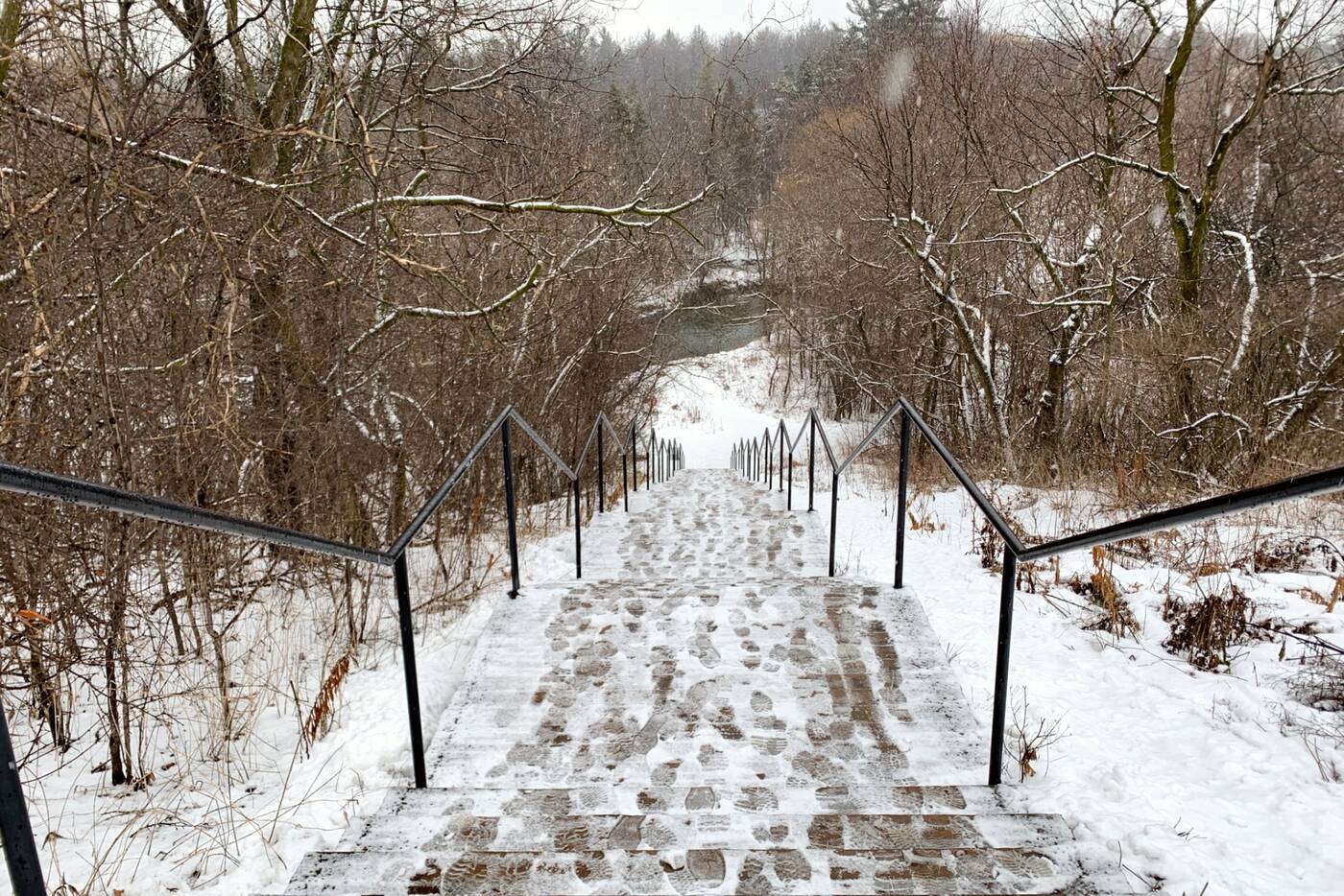
About halfway through the trail, the path ascends up to Forest Grove Drive. You'll need to cross over to get to the other side of the ravine to continue your walk.
Halfway through the trail at Forest Grove Drive, you'll need to head up to the street to cross over to the other side of the ravine.
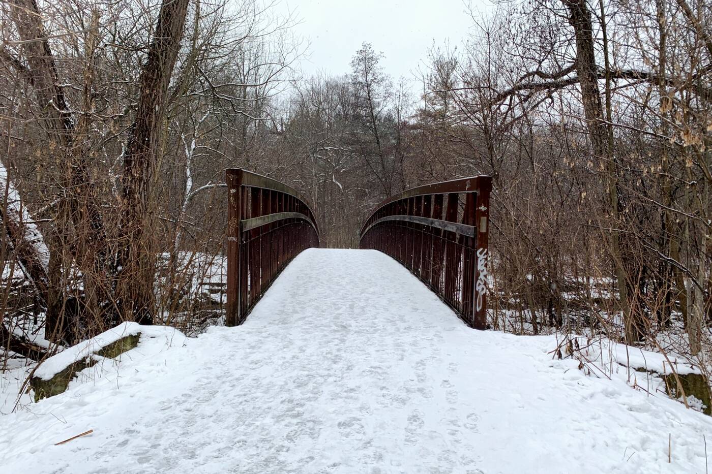
The creek will meet you on the other side and will continue to flow beside the trail the rest of the way until you reach Bayview Avenue.
Make sure to respect the park during your visit by picking up your trash to leave the area just as beautiful as you found it.
Olivia Little
Latest Videos
Latest Videos
Join the conversation Load comments