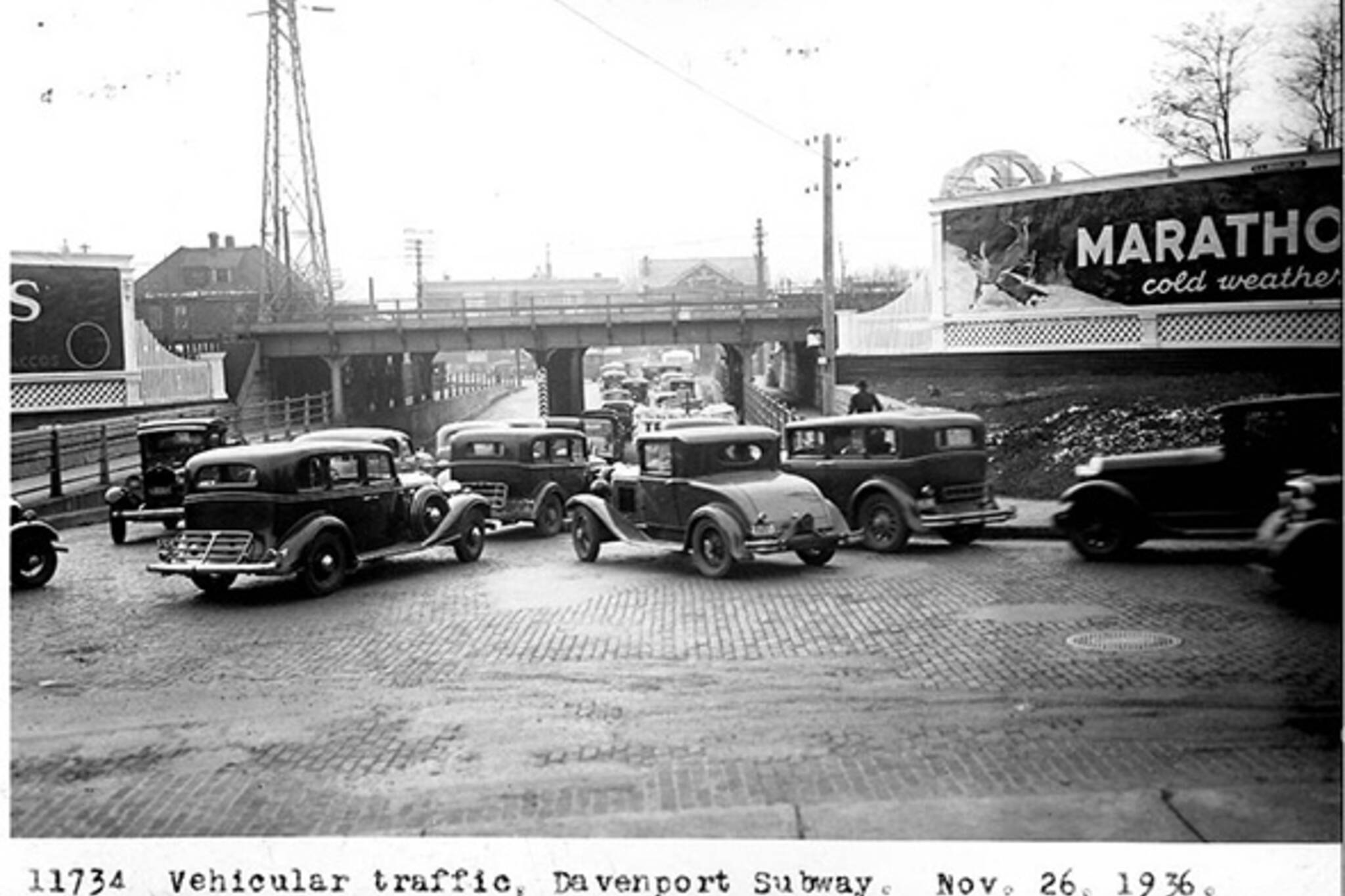
What Davenport Road used to look like in Toronto
Davenport Road might lack the stature of some of the other streets we've featured in our series of Toronto history, but even if it was never developed to the same degree as nearby St. Clair Avenue or Dupont Street, it remains a fascinating thoroughfare that's unlike any other street in the city. Winding across what the old Lake Iroquois shoreline, the road originated as a First Nations trails, which at one point stretched between the Humber and Don rivers. That's why it doesn't conform to the more grid-like design of most other streets in the city. The curves are what make it interesting, of course, and it remains a favourite route for cyclists who can take shelter in the bike lane (installed in 1994) and then ride up and down the various inclines to the north.
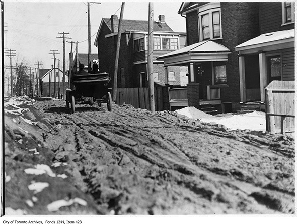
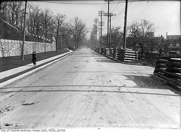
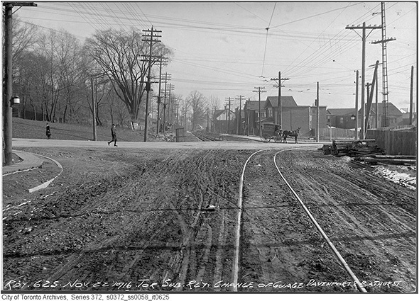
Many of the below photos demonstrate the city trying to manage the inclines to the north of Davenport, which were virtually un-passable after heavy rains or snow prior to being paved in and around the 1920s. To do this day, cars tend to struggle approaching Davenport from Bathurst and Dufferin in heavy know thanks to above average gradients. In the case of Bathurst street, the city actually used dynamite to lessen the incline, which posed significant problems given the amount of traffic on the street.
Also worthy of note is that Davenport was home to the second electrified streetcar line in Toronto. Though it might be hard to believe given its relatively northern position at the time (most development was concentrated further south), the Davenport Railway Company ran cars along the street starting in 1892. Around the same time, a series of tolls were installed along the street to fund improvements to street, one of which serves as heritage museum at Bathurst and Davenport.
In fact, Bathurst and Davenport is a rather important intersection to the city as a whole. Home to the TTC's Hillcrest Yards, the sprawling complex has been the nerve centre for the TTC since it opened in the early 1920s. Prior to that, the area to the southwest of the intersection was actually home to Hillcrest Racetrack, one of many to dot the city back in the day. Just to the north of the TTC facility is Wychwood Park, a private community that was once founded as an artists colony.
Fall is a particularly beautiful time to take in Davenport's many delights, as the north side of the street remains well treed. Stop and have a look around next time you pass by.
PHOTOS
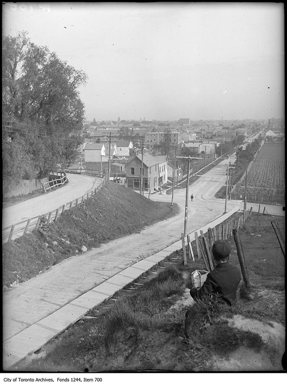
Above Davenport and Bathurst, 1907
Davenport looking east from Bathurst, 1910
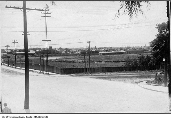
Hillcret Racetrack, Bathurst and Davenport 1911
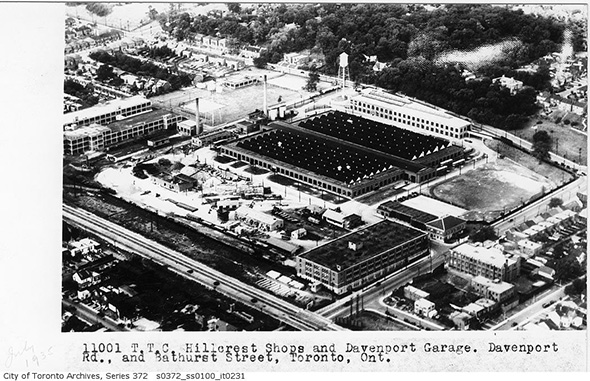
TTC Hillcrest Yards, 1911
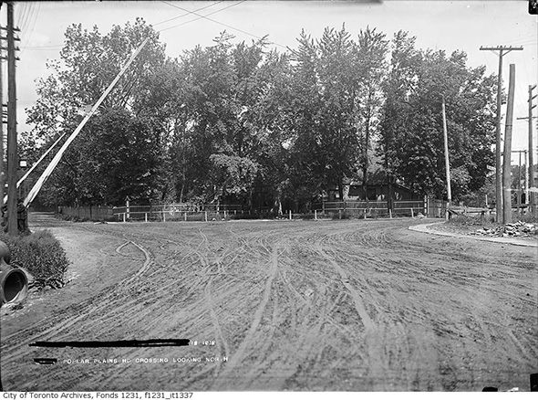
Davenport and Poplar Plains, 1912
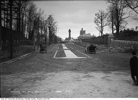
Looking north on Walmer Road at Casa Loma, 1913
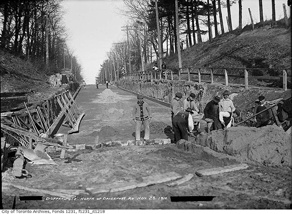
Dufferin north of Davenport, 1913
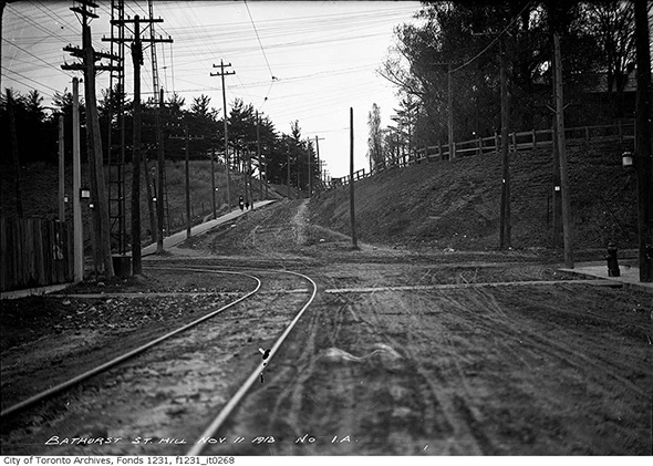
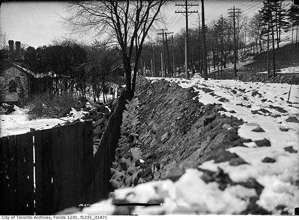
Davenport looking north up Bathurst, 1913
Davenport west at Bathurst, 1914
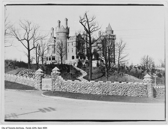
Casa Loma, 1914
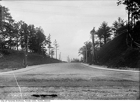
Looking north up Christie from Davenport, 1915
Lansdowne and Davenport, 1916
Alternate angle.
Davenport and Walmer, 1916
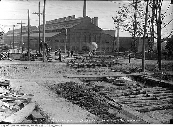
Davenport and Bathurst looking east, 1916
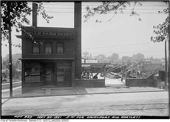
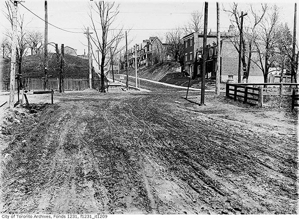
Davenport and Bartlett, 1921
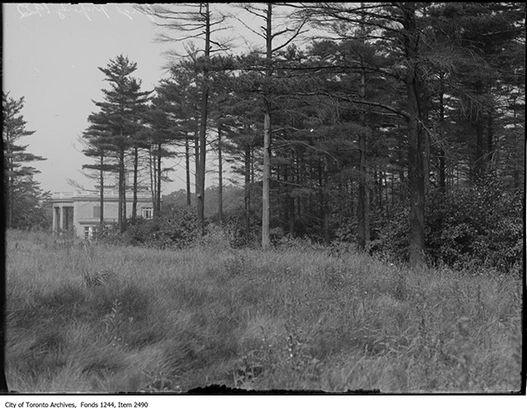
Gage property at Wychwood, 1922
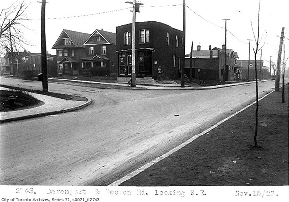
Davenport and (Old) Weston Rd, 1923
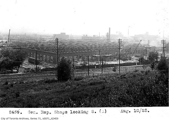
TTC Hillcrest Yards, 1923
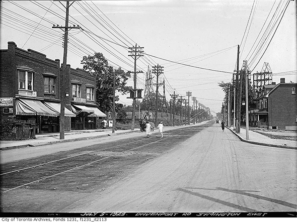
Davenport and Symington, 1923
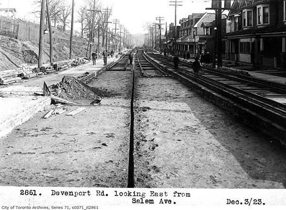
Davenport and Salem, 1923
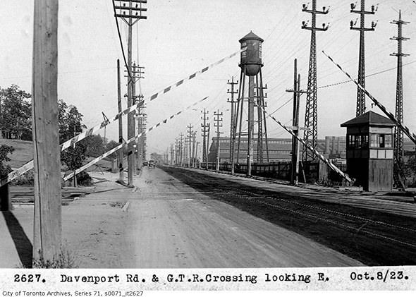
GTR Crossing near Davenport and Caledonia, 1923
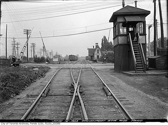
Davenport GTR Station at Caledonia Rd, 1923
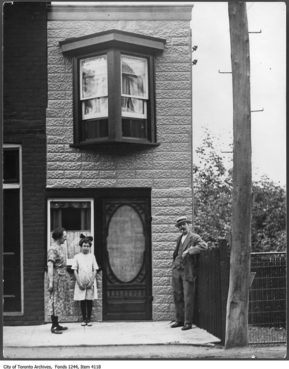
Small house at Davenport and Albany, 1925
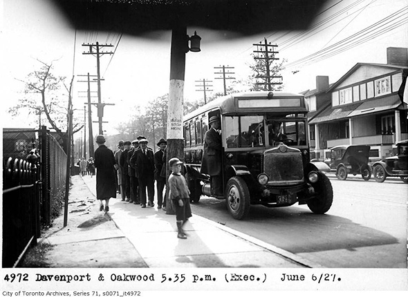
Davenport and Oakwood, 1927
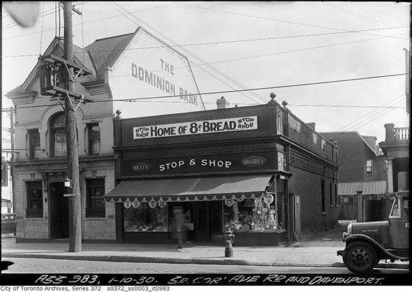
Southwest corner of Avenue and Davenport, 1930
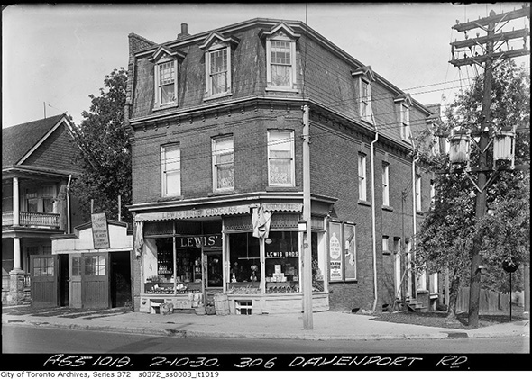
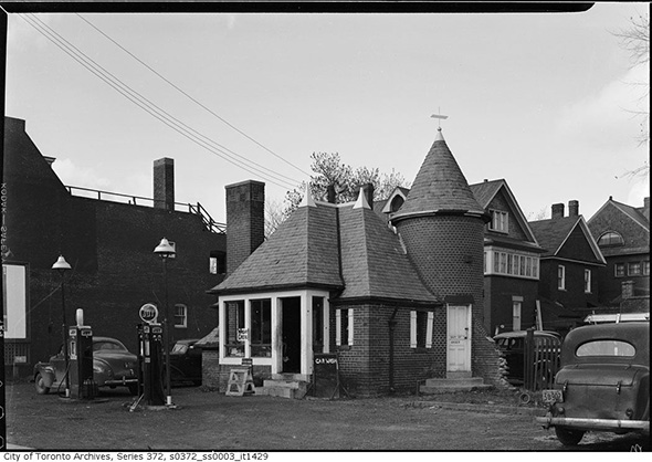
306 Davenport, 1930
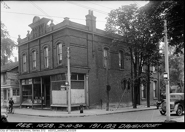
191-193 Davenport, 1930
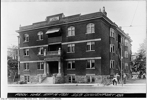
359 Davenport, 1931
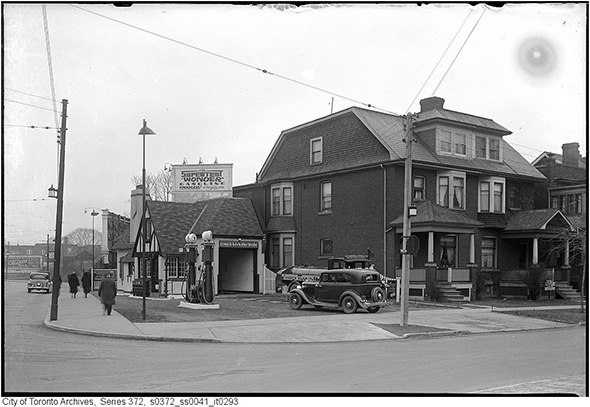
Davenport and Bedford, 1933
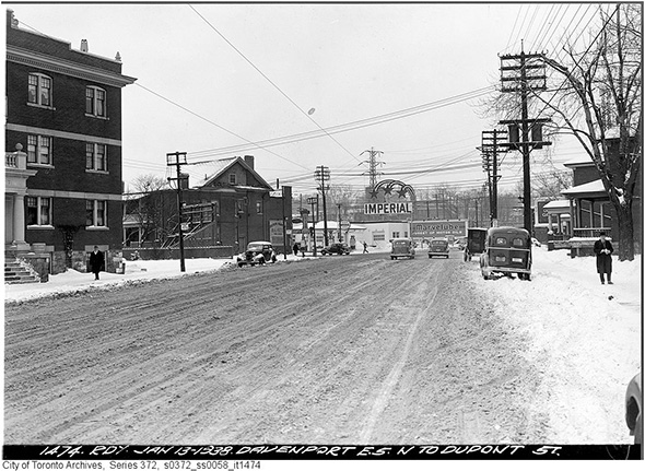
Davenport towards Dupont, 1938
Davenport and Dovercourt, 1947
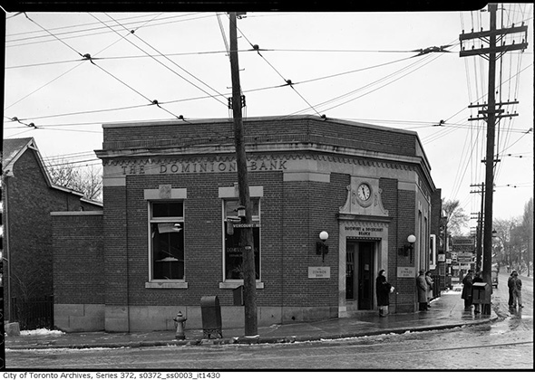
Davenport and Bedford, 1947
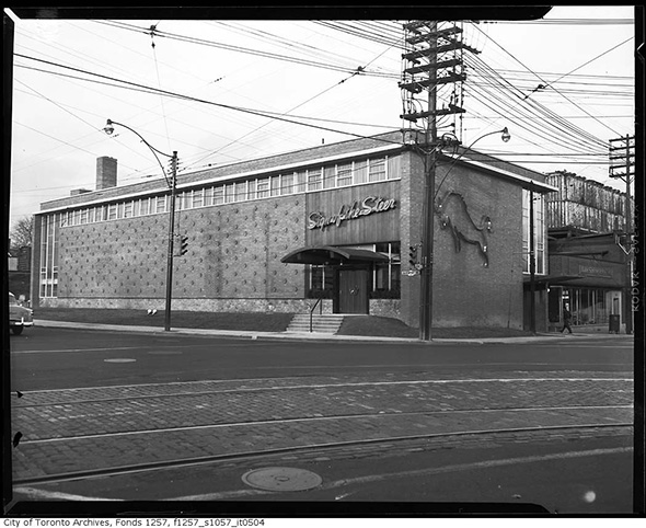
The Sign of the Steer restaurant at Davenport and Dupont, 1955
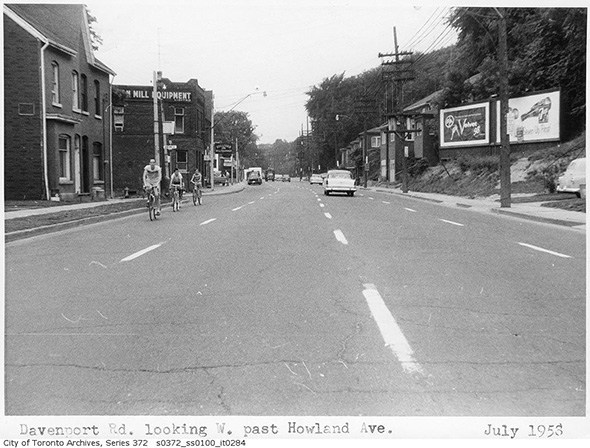
Looking west on Davenport at Howland, 1956
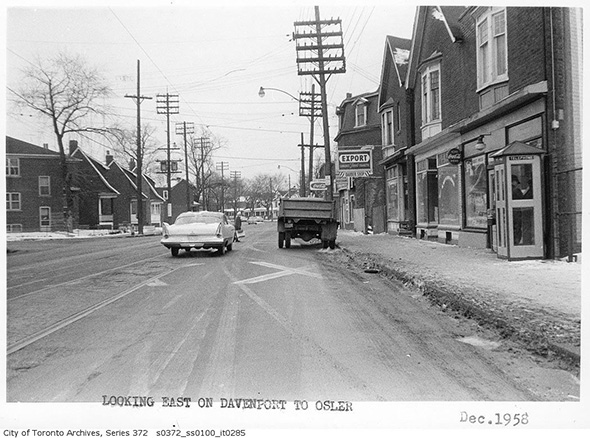
Davenport looking eat from Osler, 1958
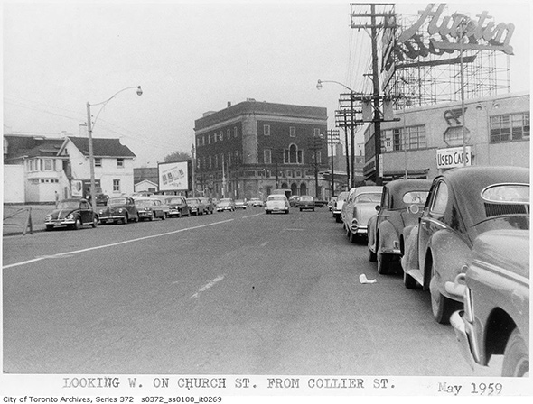
Looking towards Davenport and Yonge, 1959
Photos from the Toronto Archives
Latest Videos
Latest Videos
Join the conversation Load comments