
This is what the Danforth looked like in Toronto from 1908 to 1965
The Danforth is an important and culturally famous arterial road. When it was built in the 1850s, it was a mostly lazy stretch of street that wouldn't see major development until the 1920s, following the completion of the Bloor Viaduct in 1918.
At the time, there was no easy way to cross the Don Valley north of Gerrard Street. With the bridge came regular streetcar service and a wave of construction ensued.
Here is a brief visual history of the Danforth.
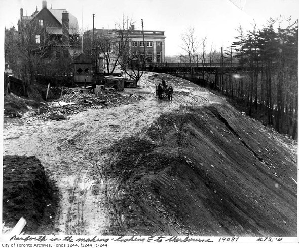
Not the Danforth, but what Bloor Street looked like before the ravine was filled in for the Viaduct, 1908
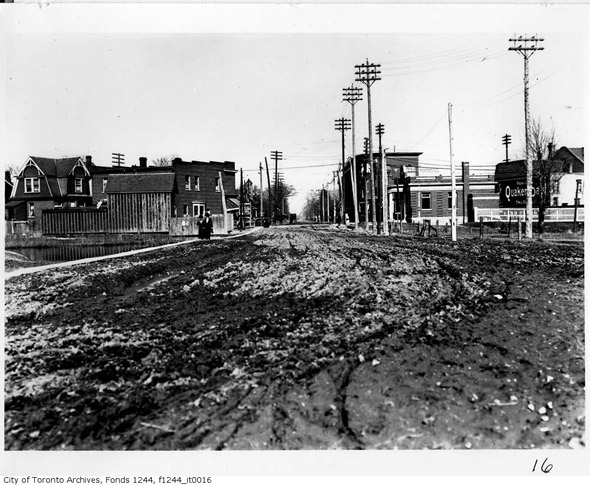
Danforth approaching Broadview, 1910s
Danforth, 1912
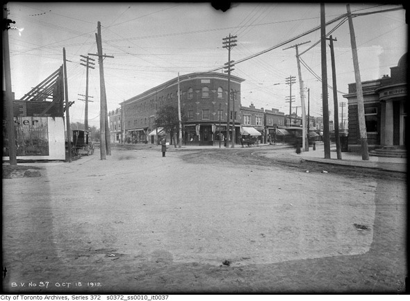
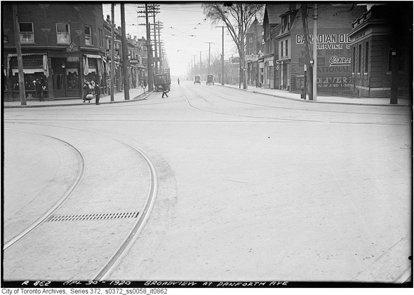
Danforth and Broadview, 1912
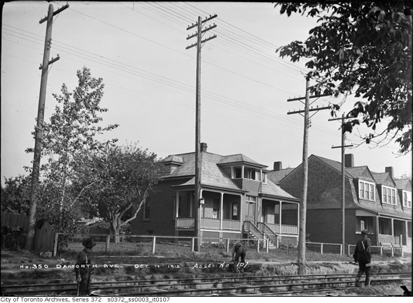
350 Danforth Ave, 1912
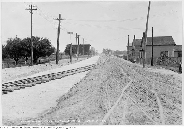
Danforth looking east from Pape, 1913

Danforth and Don Mills (what we'd refer to as the northwest corner of Danforth and Broadview today), 1913
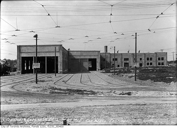
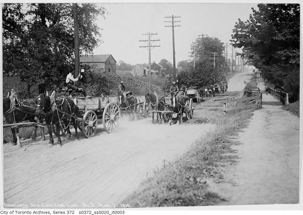
Danforth Car Barns, 1912
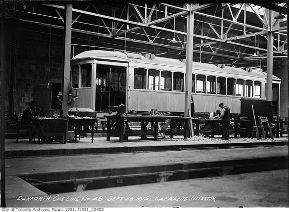
Interior of Danforth Car Barns, 1915
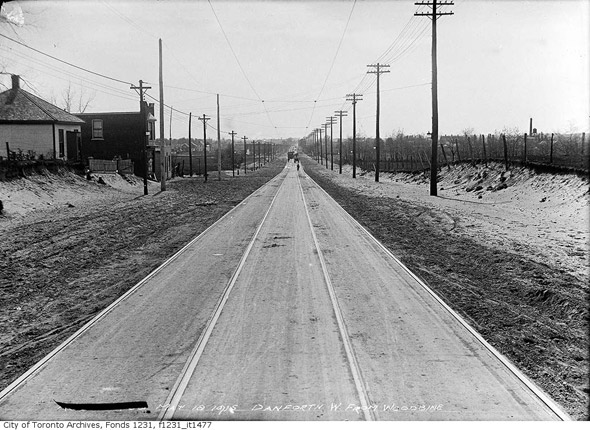
Danforth looking west from Woodbine, 1915
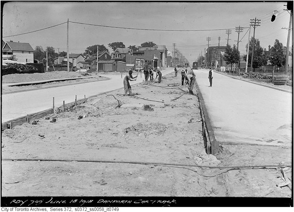
Laying track on Danforth east of Broadview, 1918
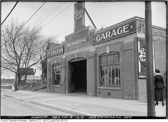
425 Danforth Avenue, 1919
Pape and Danforth, 1919
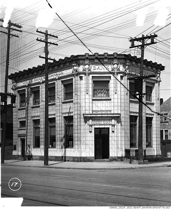
Broadview and Danforth looking south, 1920
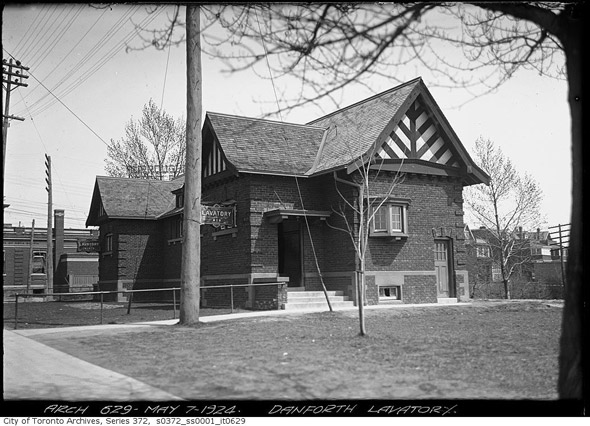
Danforth public lavatory, just west of Broadview, 1920s
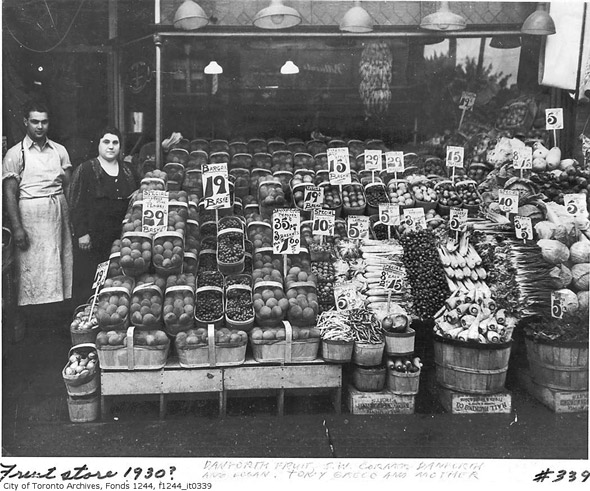
Danforth Fruit Store, 1930
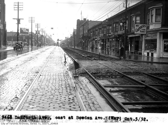
Danforth east from Bowden, 1932
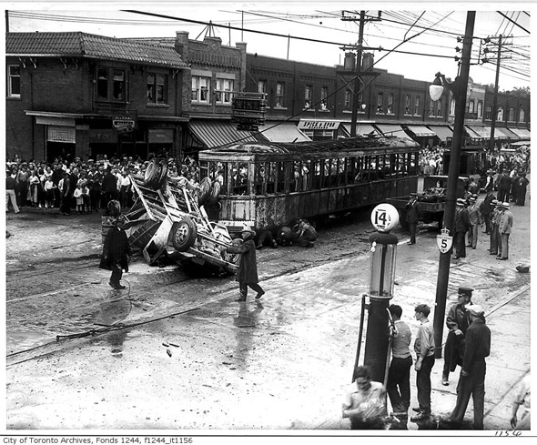
Dramatic accident near Glebemount in 1935
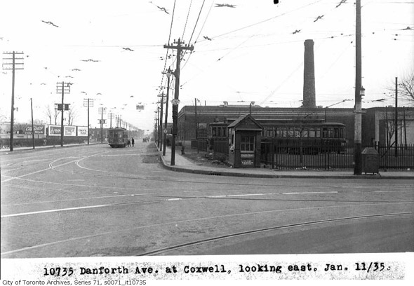
Danforth east from Coxwell, 1935
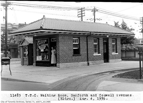
TTC waiting room at Danforth and Coxwell, 1936
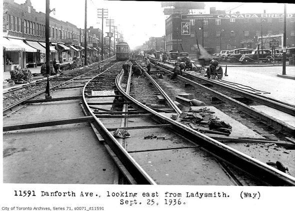
Danforth looking east from Ladysmith, 1936
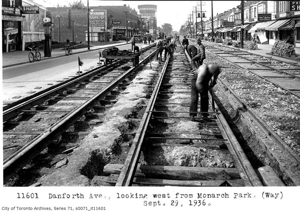
Danforth looking west from Monarch Park, 1936
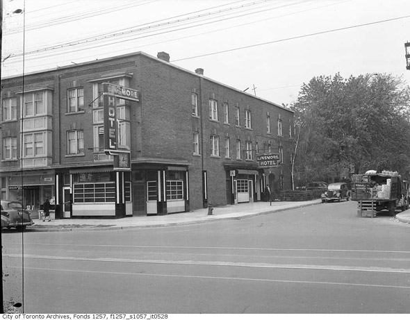
Linsmore Hotel, 1945 (now the Linsmore Tavern near Greenwood)
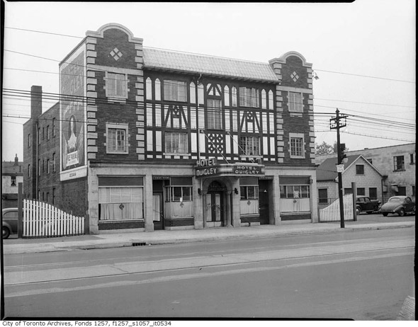
Hotel Quigley, 1945 (near Oak Park Avenue)
Danforth and Greenwood, 1947
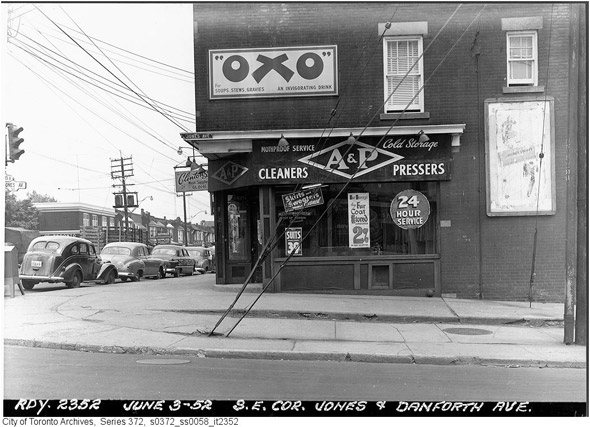
Danforth and Jones, 1952
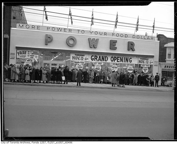
Power Supermarket (near Danforth and Woodbine), 1953
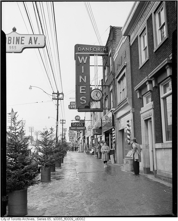
Danforth and Woodbine, 1954
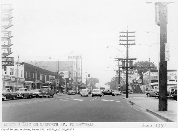
Danforth looking east from Luttrell, 1959
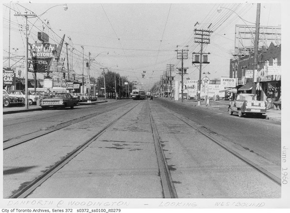
Danforth looking west from Woodington, 1960
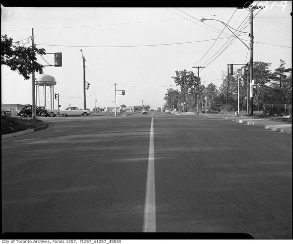
Danforth at Birchmount, 1960s
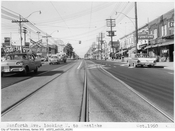
Danforth looking west from Westlake, 1960
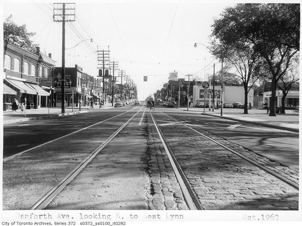
Danforth looking east from East Lynn, 1960
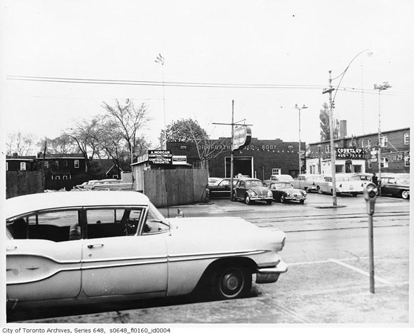
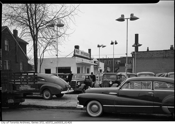
Danforth Autobody, 1965
The Toronto Archives. Photo of Carlaw and Danforth, 1934. With files from Derek Flack.


