
This is what Jarvis Street looked like in Toronto from the 1890s to the 1960s
The measure of difference on Jarvis is something to behold, particularly because there remain just a few hints at what it all used to look like.
Prior to the 1940s, Jarvis Street was probably the most beautiful in all of Toronto, lined with the mansions of some of Toronto's wealthiest families.
And then, in 1947, the street was forever changed when many of its trees were ripped out to widen it for increased automobile traffic. While the project might have been necessary to accommodate a growing city, it's sad to think of what was lost in the process.
Here's what Jarvis Street has looked like through the years.
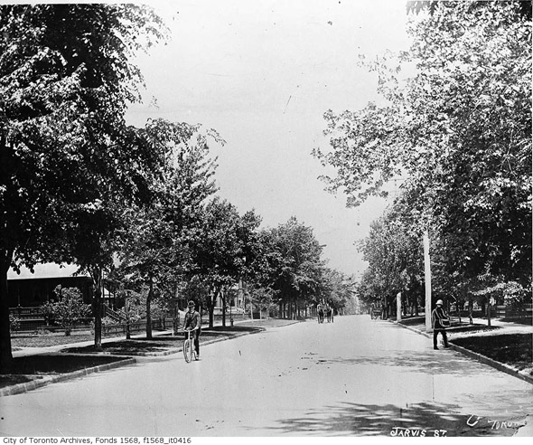
1890s
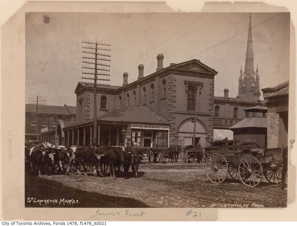
St. Lawrence Market
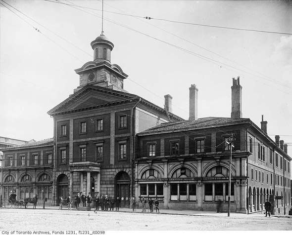
Old (old) City Hall
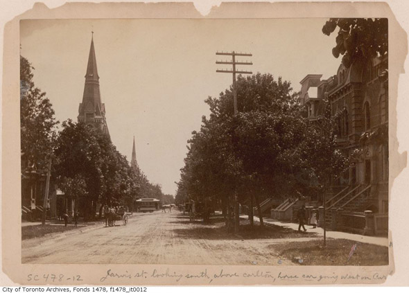
Jarvis south from Carlton
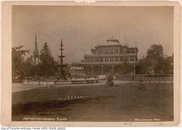
Horticultural Gardens (between Jarvis and Sherbourne)
1900s
Jarvis in 1903
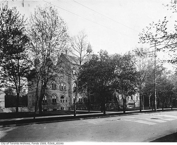
The first Jarvis Collegiate
1910s
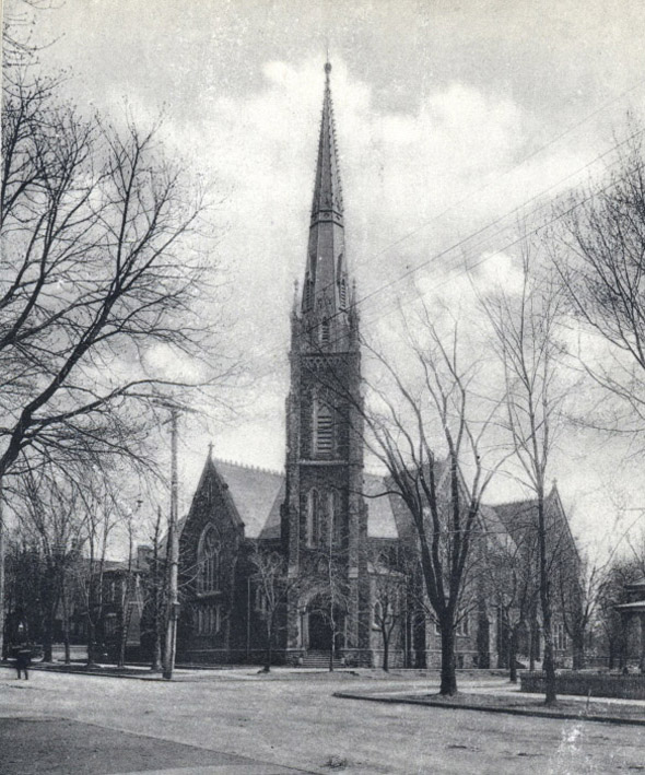
Jarvis Street Baptist Church. Photo via the McCord Museum

Allan Gardens Palm House
1920s
Juvenile Court Building at 311 Jarvis
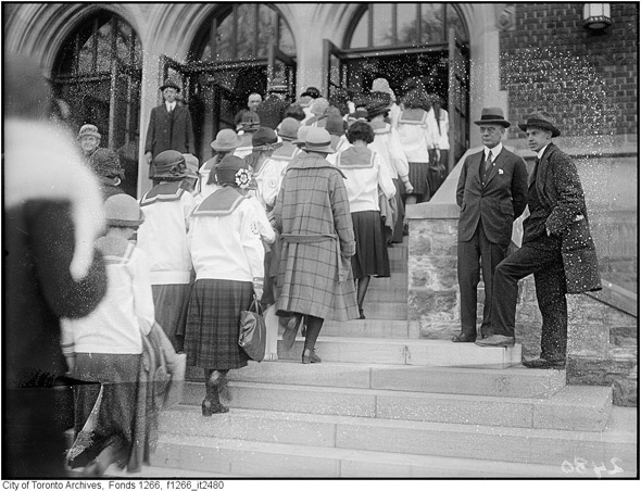
The (then) new Jarvis Collegiate in 1924
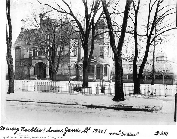
1930s
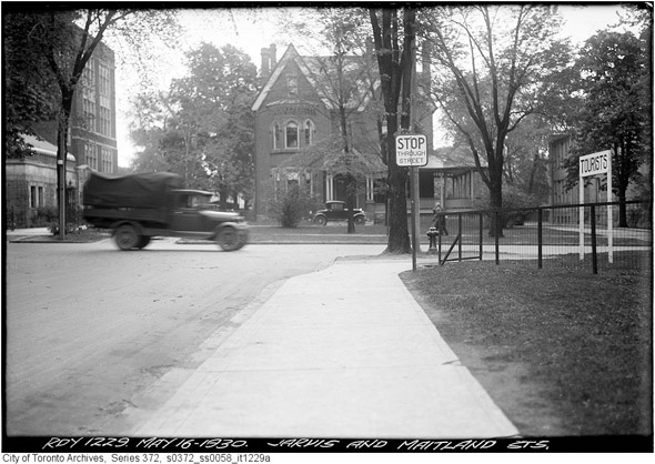
Jarvis and Maitland
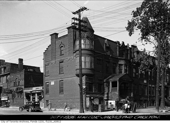
Jarvis and Carlton (northwest corner) 1931
1940s
Jarvis and Carlton pre-street widening 1947
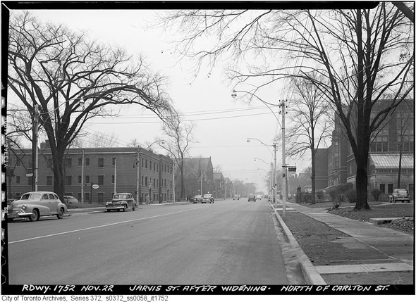
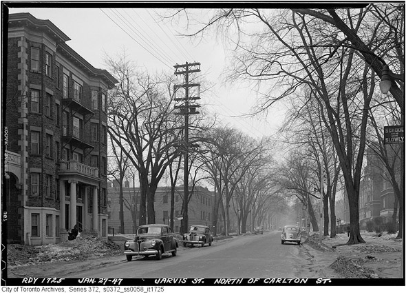
Jarvis north of Carlton post-street widening 1947
1950s
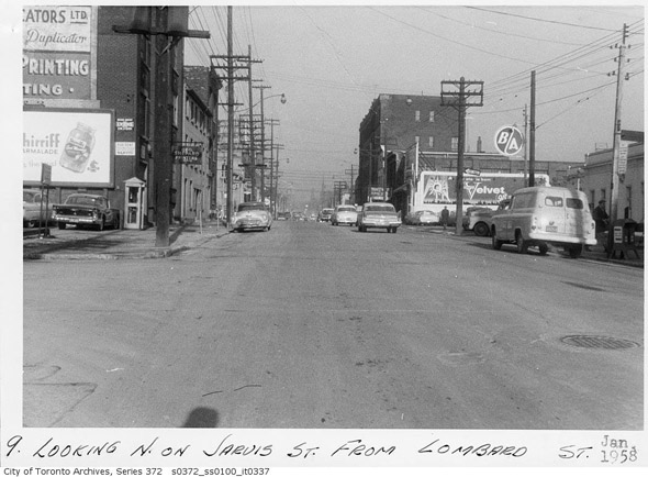
Jarvis north of Lombard Street
1960s
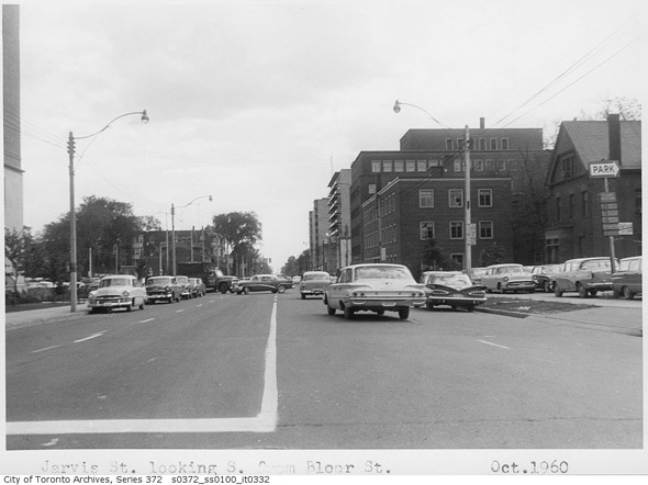
Jarvis south of Bloor
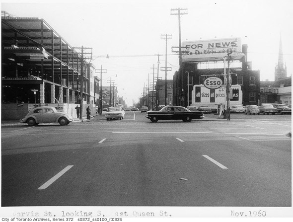
Jarvis and Queen (looking south)
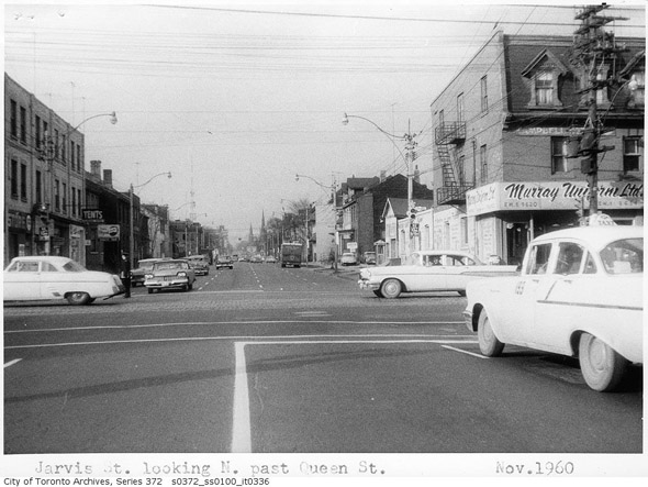
Jarvis and Queen (looking north)
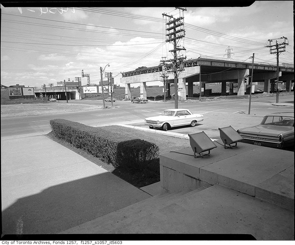
The birth of the Gardiner 1963
The Toronto Archives. Lead photo by the Department of Public Works in 1960. With files from Derek Flack.


