blogTO Urban Maps

Some of you may have noticed these maps floating around various Toronto neighbourhoods. So, even though the secret may be out, we're ready to announce today the first edition of the blogTO urban maps.
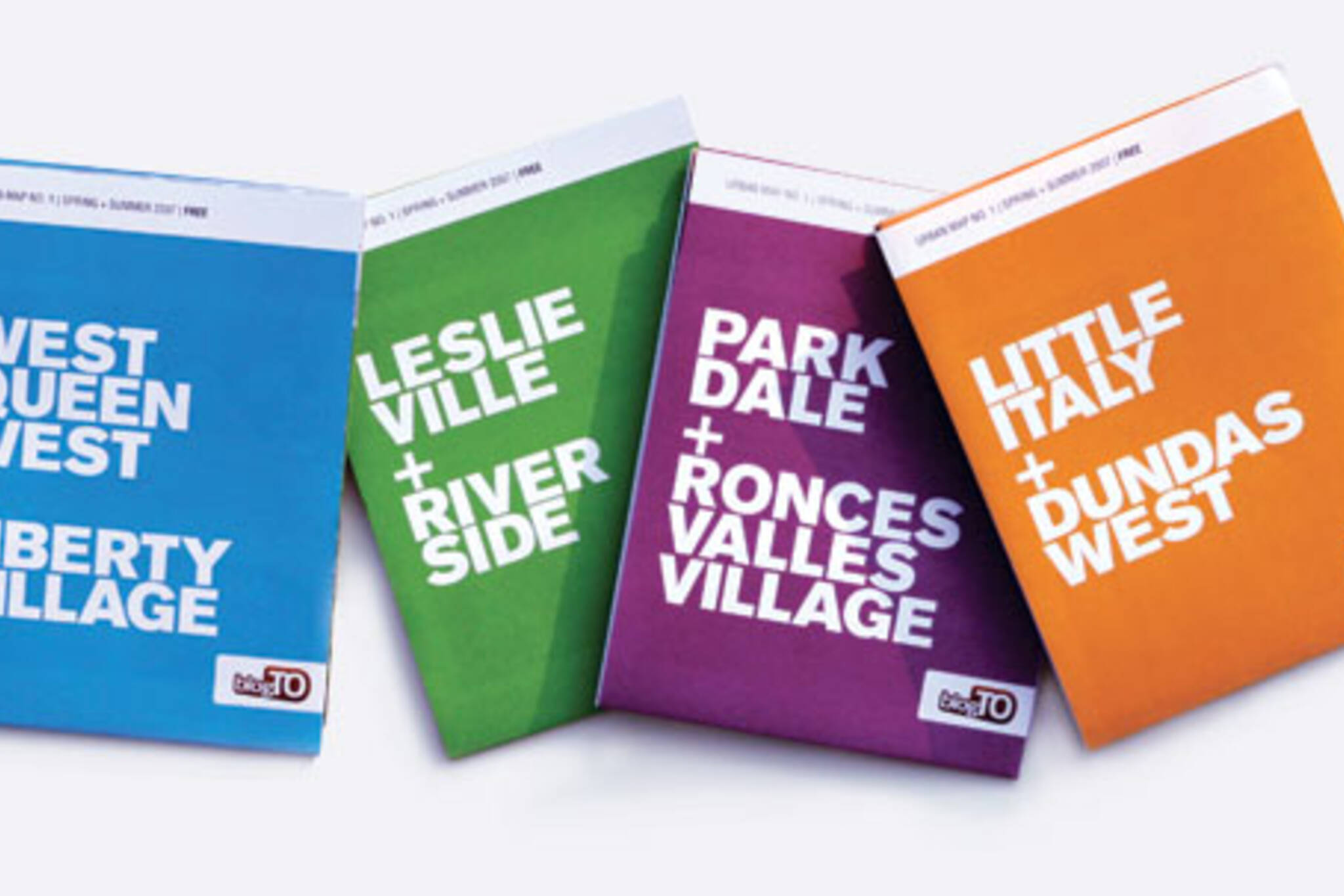
For our first spring/summer edition, we've started with four maps, grouped into the following neighbourhoods:
* West Queen West and Liberty Village
* Little Italy and Dundas West
* Leslieville and Riverside
* Parkdale and Roncesvalles Village
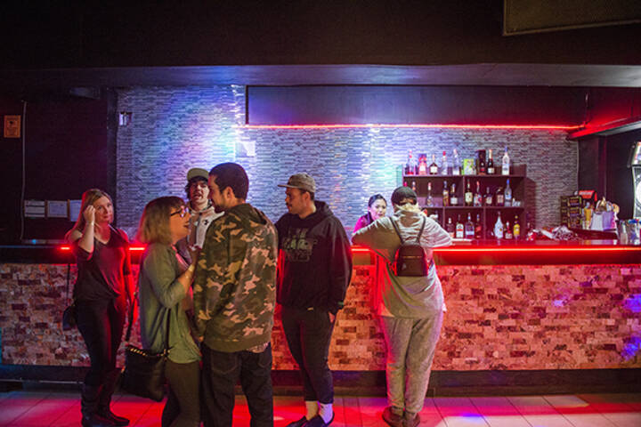
All maps are free and distributed throughout each of the neighbourhoods at cafes, stores, restaurants, bars, fitness clubs and other locations.
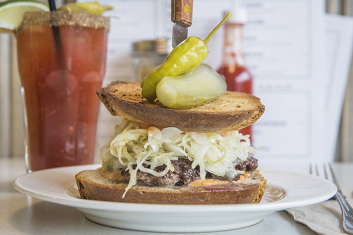
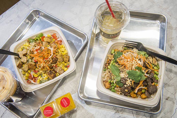
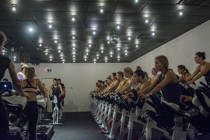
Each map includes profiles of 80 or more great local spots grouped into categories like restaurants, bars and cafes, art galleries, fashion, furniture and design and beauty and health. 40 of the profiles on each map also come with full colour photos. And the whole thing is also integrated with the blogTO web site. So if you want to learn more about, say, Little Italy, you can go read about it in our new neighbourhood section.
We're also busy building out online listings and profiles of places that are located within each neighbourhood. If you think you'd like to help us write some profiles, definitely drop us a line.
We'll have more details on the urban maps soon and will be offering the option to ship a pack of four of them to those of you who might be planning an upcoming visit to Toronto.
Special thanks to Bronwyn Anderson for the design and Tanja and Zach for helping out with photos.
Comments (19)
This is awesome! Is there an Annex one in the works as well?
And is there somewhere I can pick up all four? I often get visitors from out of town who I leave to explore the city by themselves while I'm working. I already have a collection of maps and info booklets for them, but these would be a great addition.
Love these. Picked up the Dundas West/Little Italy one the other day at Red Pegasus. It's (going to be) my new hood!
My introduction to the fact that the maps were out came when I went into a coffee shop in Riverdale on Saturday morning and found everyone inside reading the Leslieville/Riverdale map. Awesome!
Any chance we'll be able to purchase them all in a box set one day in the future when there's more? I'd collect those! =)
I wandered down College and Queen trying to pick some up, but most places were closed, independent or otherwise. It was very healthy to walk along specifically trying to identify the most authentic establishments of all types, figuring they'd be most likely to have the maps inside... unfortunately the best I could manage, map-wise, was window shopping. I did, however, find some really cool businesses I'd previously overlooked, and got some awesome stuff as a result... I feel like I got part of the experience without even having managed to pick up a map yet :P
We just launched a new page which has more information about the Toronto urban maps:
I went to Tourism Ontario, hotels and hostels in downtown, but none of them have these and the staffs don't have any clue about these maps. I have been to the pantages, marriot (eaton centre), hostelling international, globalvillage backpackers and hilton. Are these avilable at the hotels now?
Hi Jo,
All the hotels should have maps - but I will contact the ones you mentioned to see if they've run out. I know I just re-stocked Globalvillage this week. It's also possible that the people you talked to are just out of the loop. The concierges carry them at all the hotels but I find sometime the desk is staffed with some young kids who can sometimes be a bit clueless.
Tim


RSS