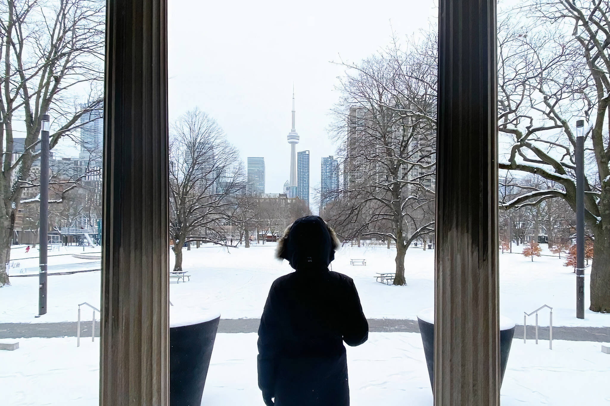
A major winter storm is expected to blanket Toronto with snow next week
Save for a couple of breathtakingly frigid days as we kicked off the new year, winter has been pretty mild for Toronto so far this time around the sun, which is awesome... for some people.
Those who enjoy winter sports that depend on snowy conditions are not those people, but things are about to change in their favour if meteorologists are correct.
Skiiers, snowboarders, tubers and the businesses that facilitate their adventures, rejoice: Snow is on the way. A lot of it. Potentially the most we've seen all season.
The Weather Network reports that a "major winter storm" could "bring significant snow totals to parts of southern Ontario" early next week.
"As we head into mid-January, all eyes are on a major stateside storm on the horizon, which could be a turning point for the region as winter attempts to flip the switch for early next week," reads an update posted by the network on Thursday.
"There are still a lot of uncertainties in terms of the exact storm track and snow totals this far out, but this system has the potential to bring 15-25+ cm of snow into parts of Ontario and Quebec — possibly some of the biggest snow totals of the season to date."
Eyes on major winter storm that may bring significant snow to parts of southern Ontario & Quebec early next week. Very complex setup, with low confidence in storm track right now. Potential for 15-25+ cm of snow in parts of Central Canada #ONstorm #meteoqc https://t.co/tOnYCnRbQJ
— Nathan Howes TWN (@HowesNathan) January 13, 2022
While positively balmy for January in Toronto this afternoon at 1 C, temperatures are expected to fall rather quickly on Friday with dangerous winds from the north making it feel like -20 C outside by nightfall.
According to Weather Network meteorologist Matt Grinter, we could be hit early next week by an "area of energy that has the potential to develop a system that could bring a major winter storm to the U.S. Northeast, parts of southern Ontario and Quebec."
Forecasted totals from that storm are uncertain across the GTA — it all depends on how it moves through the region — but fear not, a "potent clipper system" is also expected to impact us Tuesday night and into Wednesday, followed by yet another shot of Arctic air.
"This wintry pattern is expected to continue into or through the final week of January, with the potential for another shot or two of frigid weather to end the month," says the Weather Network's Dr. Doug Gillham.
"However, a milder pattern is expected to return for much of February."
Latest Videos
Latest Videos
Join the conversation Load comments


