New map shows off the massive park system in Toronto
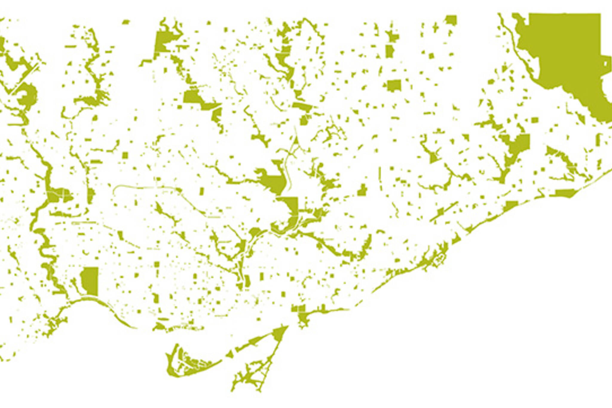
Toronto has been referred to as "the city within a park," an observation that tends to ring true when one takes a look at this map put together by Kyle Baptista of Park People, a local organization devoted to improving our green space. There are over 1600 parks plotted on the map above, which naturally stand out against a background devoid of streets or other cartographic information.
Perhaps what's most interesting about this map is the degree to which one can easily pick out our ravine systems and long lost rivers. The Humber and Don are, of course the easiest to spot, but a good eye should also be able to locate the remains of Garrison Creek in the spotty remains of parkland running up from Fort York. Other features like the Belt Line Trail and High Park are also a cinch to pick out.
The map is obviously pared down to the barest essentials, but on account of this very strategy, it highlights the degree to which we're spoiled with green space in Toronto. It may be a bit of a challenge to spot your local park on this map, but the next time you're looking to explore for an extended period of time, this could very well be used as a starting point.
Check out a high resolution version of the map here.
Latest Videos
Latest Videos
Join the conversation Load comments


