
This is what the suburbs used to look like around Toronto
This is what the suburbs used to look like around Toronto
Although the former municipalities of Etobicoke, North York, York, and Scarborough are sometimes still referred to as suburbs of Toronto, development in these areas over the last 30 years and the sprawl that's given birth to the Greater Toronto Area should probably mute such references.
While not as dense as the downtown core, wide areas of Toronto's former suburbs have become more and more urbanized over the years, a process which continues to take place as steep real estate prices drive would-be home owners further and further from the core.
But what did they look like before this process took place?
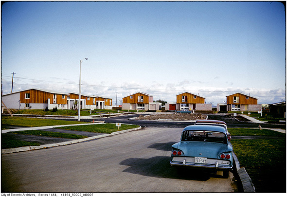
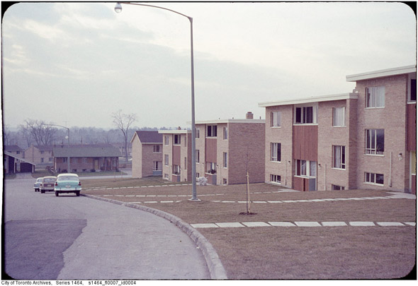
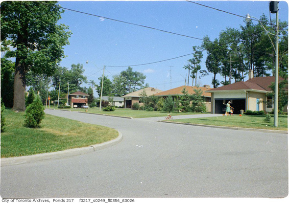
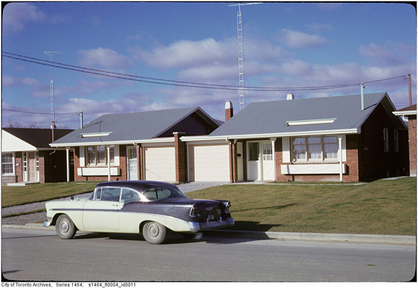
Mid-century suburban cul-de-sac, 1961.
Let's be honest, there aren't a lot of surprises here. Sure there are a few shots of streets and intersections that have changed dramatically over the years, but the thing about suburban architecture is that its individual features tend to blend in with one another.
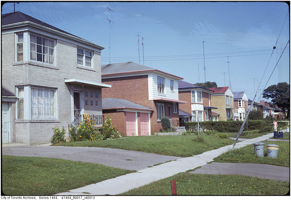
Are we in North York or Etobicoke? It's tough to tell once you get to the residential streets. The design of these places speaks more to the time period in which they were built rather than the specific place they're located.
Car-ports were standard issue in North York back in the 1950s.
There is, however, plenty that's fascinating about the birth of the suburbs in Toronto. In addition to demonstrating how mass car ownership transformed planning principles, there's something else to be spotted in these photos.
There's this strange combination of optimism and fear that seems built into the very form of these communities, from their well manicured but generally empty front yards to the eerie preponderance of abandoned tricycles. This is the stuff nostalgia is made out of.
Here's what Toronto's suburbs used to look like.
Don Mills
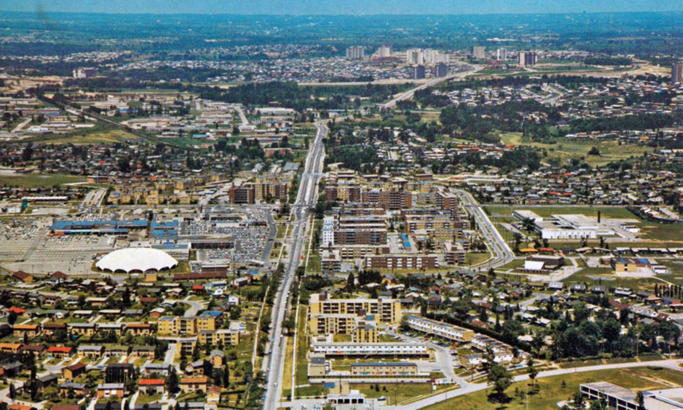
Looking down on Don Mills in 1968.
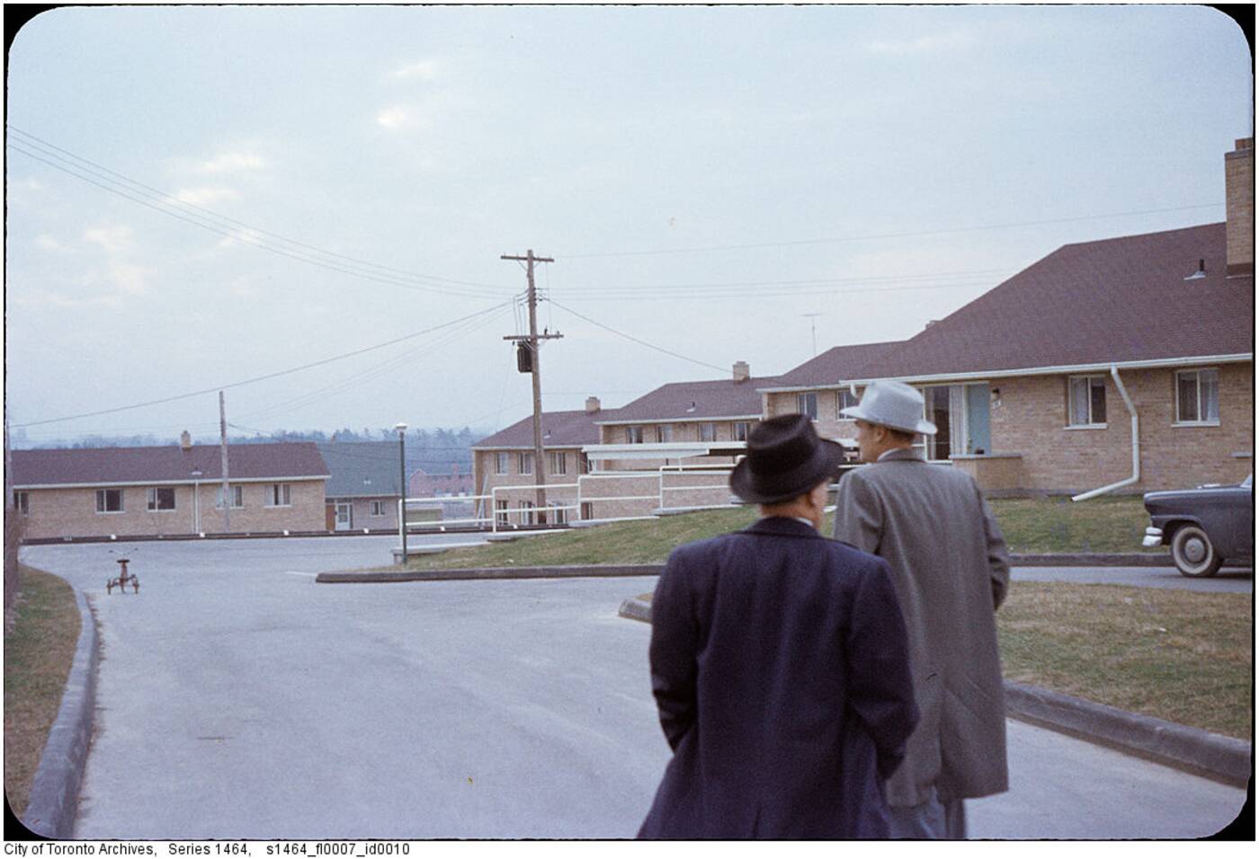
Urban planners survey their work in Don Mills, ca. 1950s.
Cottonwood Drive in 1956.
Scarborough
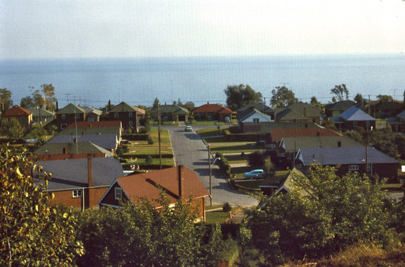
Cliffside Drive, 1961.
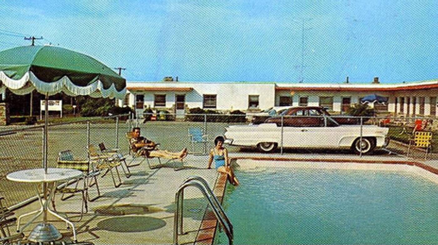 Better days at the Roycroft Motel, Kingston Road.
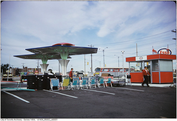
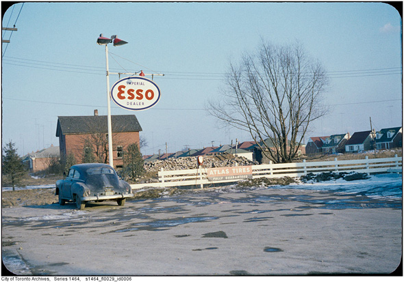
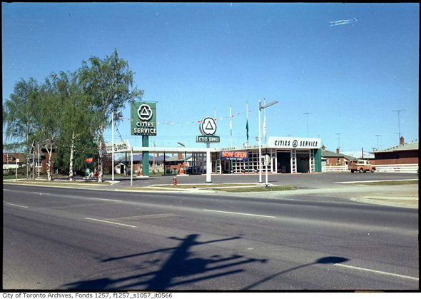
Esso gas station on Kingston Road.
North York
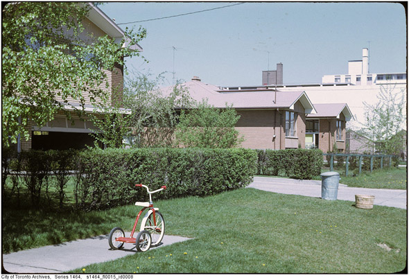
Another abandoned tricycle, 1961.
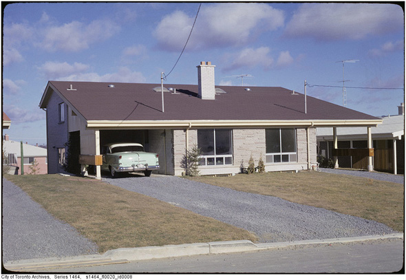
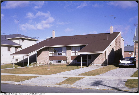
Now that's a nice car-port, 1961.
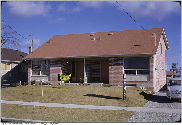
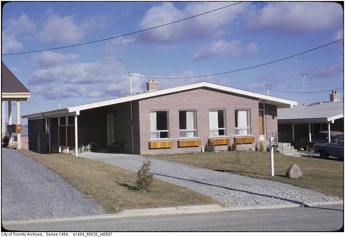
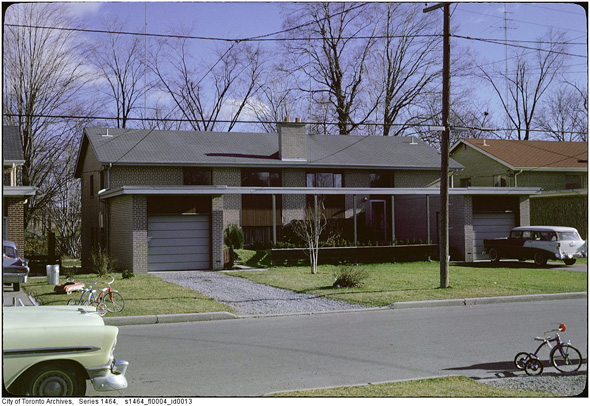
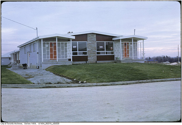
North York model home, 1961.
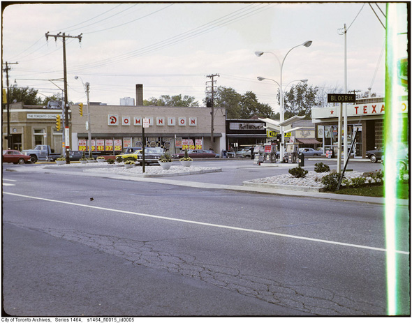
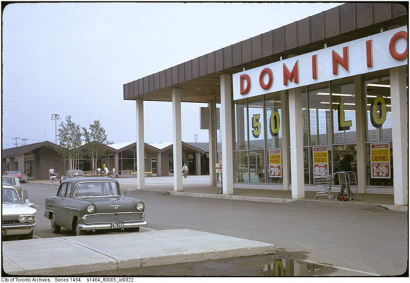 Dominion at Parkwoods Plaza.
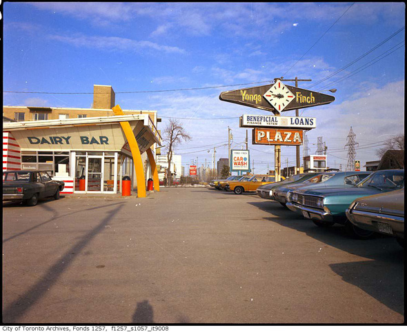
Yonge-Finch plaza, 1972.
Etobicoke
Rexdale, 1950s.
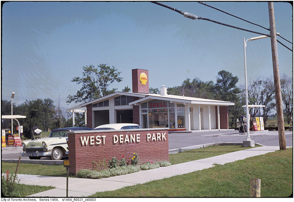
West Deane Park, 1961.

Near Queensway and Royal York, 1961.
Near Queensway and Royal York, 1961.
In the area of Bloor St. W and Royal York, 1968.
Alderwood area, 1968.
Thistletown, late 1960s.
Near Martingrove and Westway, 1960s.
Near Martingrove and Westway, 1960s.
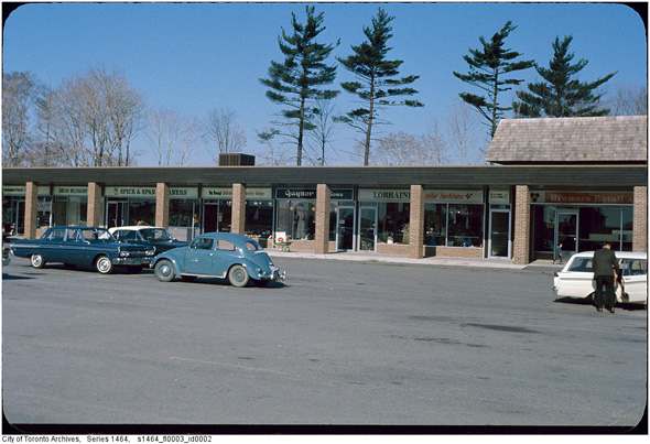
Richview Plaza, 1960s.
Queensway and Wolgar, 1960s.
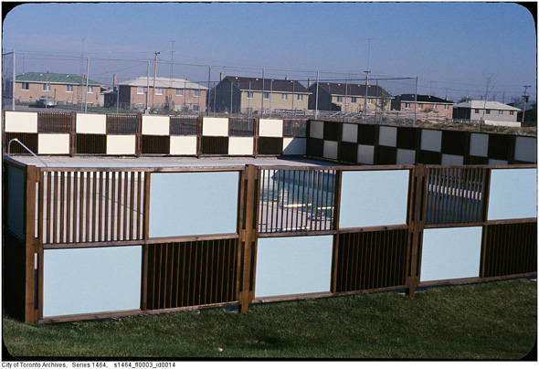
Unidentified communal pool, 1960s.
East York
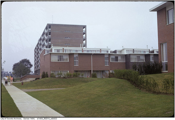
The apartment building arrives on the scene in Flemingdon Park, 1960s.
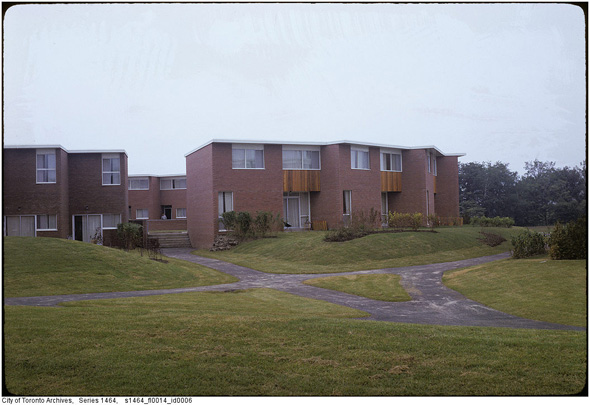
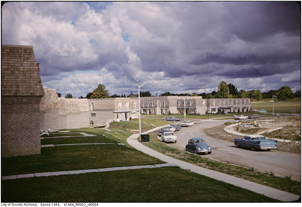
Townhouse complex in Flemingdon Park, 1961.
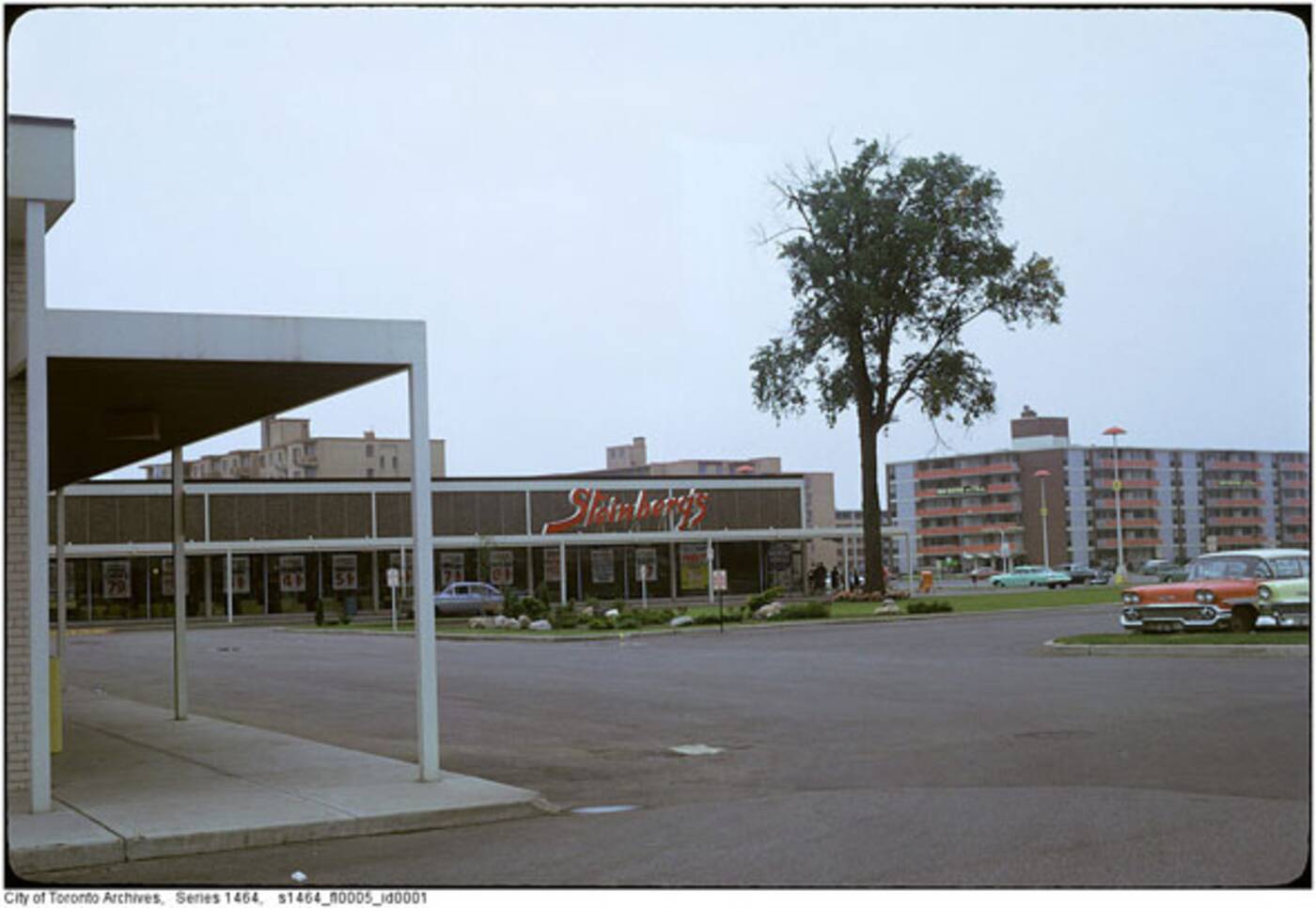 Steinbergs' at Thorncliffe Plaza.
Bramalea
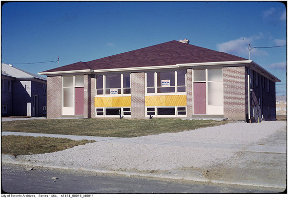
Unidentified development, 1961.
Mid-century architecture at its finest.
More mid-century residential architecture.


