
This is what Toronto highways looked like over the last century
As much as Toronto's highway system may help to define the city as it exists today, prior to the 1950s not a single controlled access highway could be found running through the city.
While the QEW dates back to the early 1930s, it wasn't until widening efforts 20 years later that it would become a true freeway. The same can be said for Highway 2A, a major section of which became the stretch of the 401 that extends east from Scarborough to Oshawa in 1952.
Also dating back to the 1950s is the 400, which was then referred to as the Toronto-Barrie Highway.
Here's what Toronto highways have looked like through history.
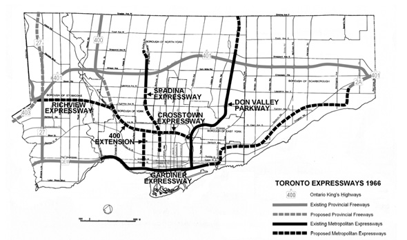
A map of expressways in the 60s.
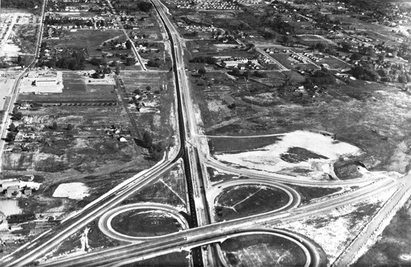
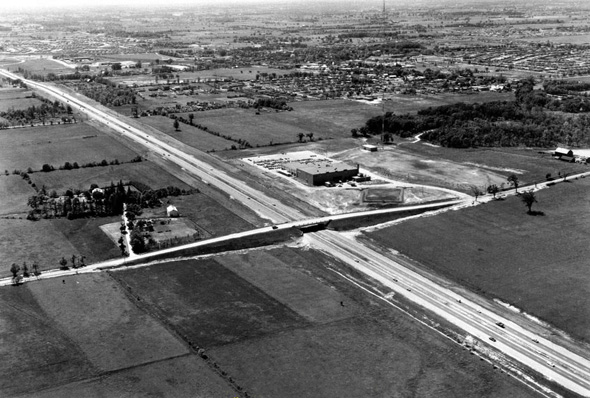
400 at 401 in 1952 (via the Ontario Ministry of Transportation)
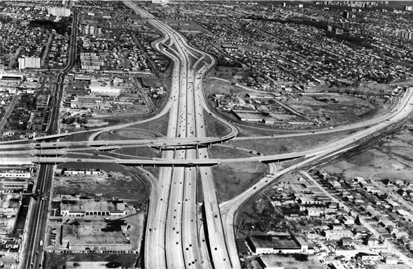
400 at 401 in 1969 (via the Ontario Ministry of Transportation)
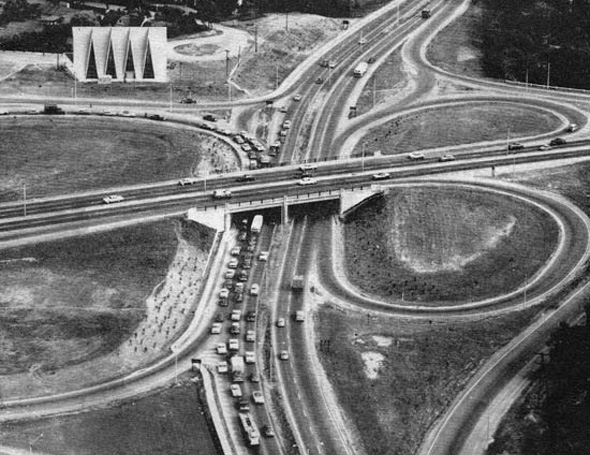
401 and Yonge in 1958
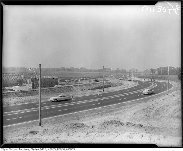
401 at McCowan in 1961
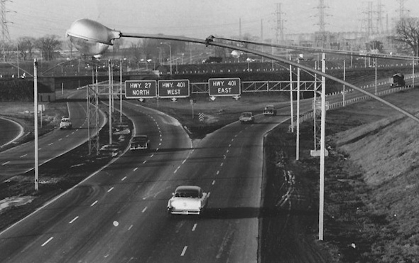
401 and Highway 27 in 1961
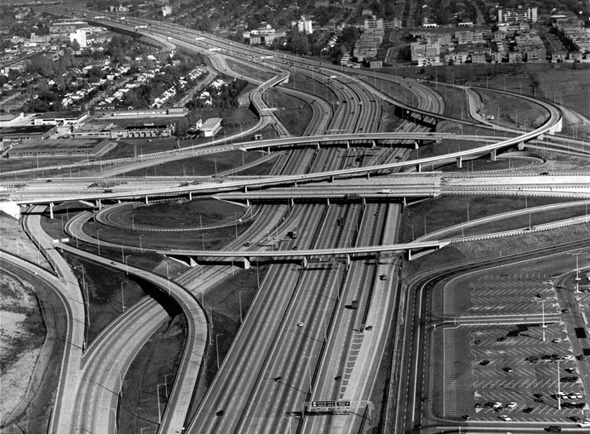
401 and Allen Road in the 1960s (via Ontario Ministry of Transportation)
401 east of Allen Road in 1967
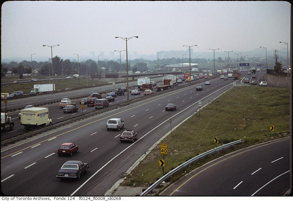
401 in the 1980s looking toward the 400 from Islington overpass
DVP under construction late 1950s
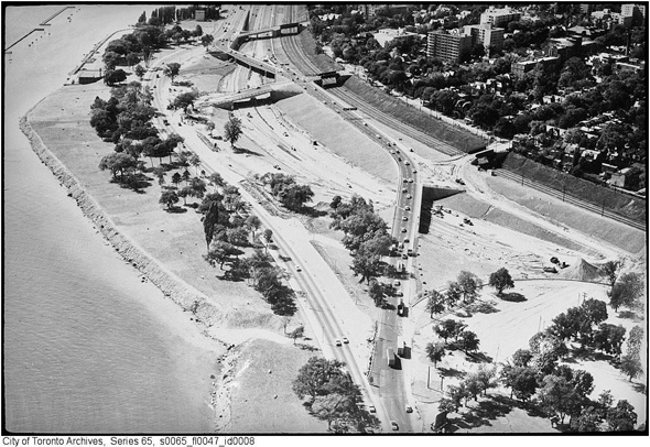
Gardiner Expressway, aerial view over Jameson in the 1960s
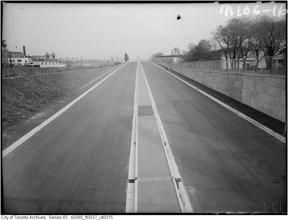
The Gardiner at Dufferin looking east in 1959 (prior to opening)
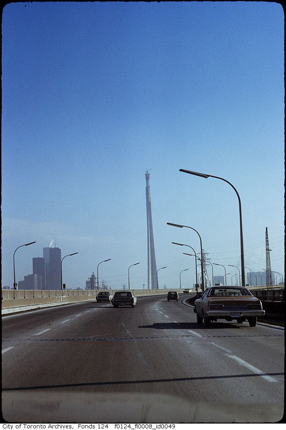
Gardiner and CN Tower mid-1970s
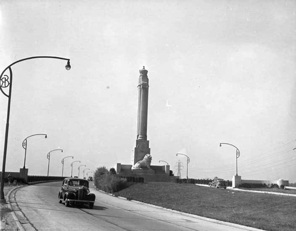
Entrance to the QEW and monument 1940
QEW and Highway 27 in 1958
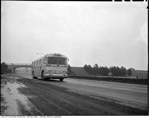
QEW and bus in the 1960s
QEW near Highway 10 in the 1960s
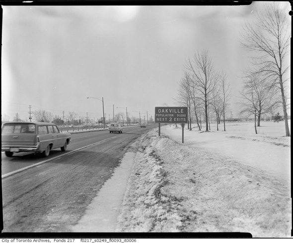
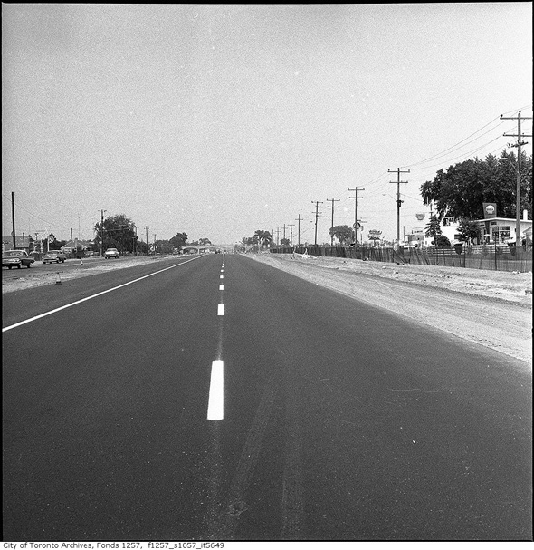
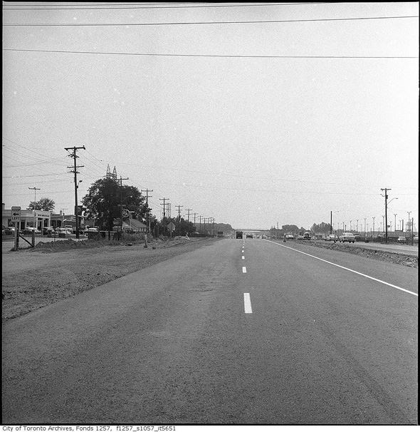
QEW in Oakville 1967
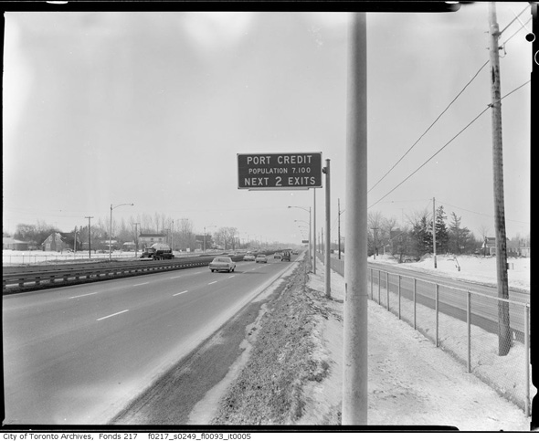
QEW in Port Credit 1967
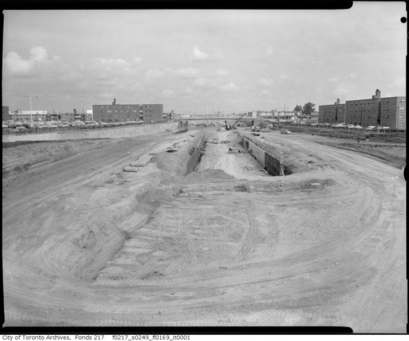
Building what was then expected to be the Spadina Expressway in 1963
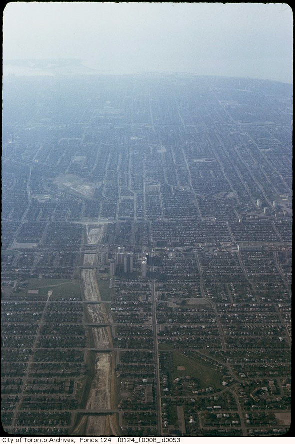
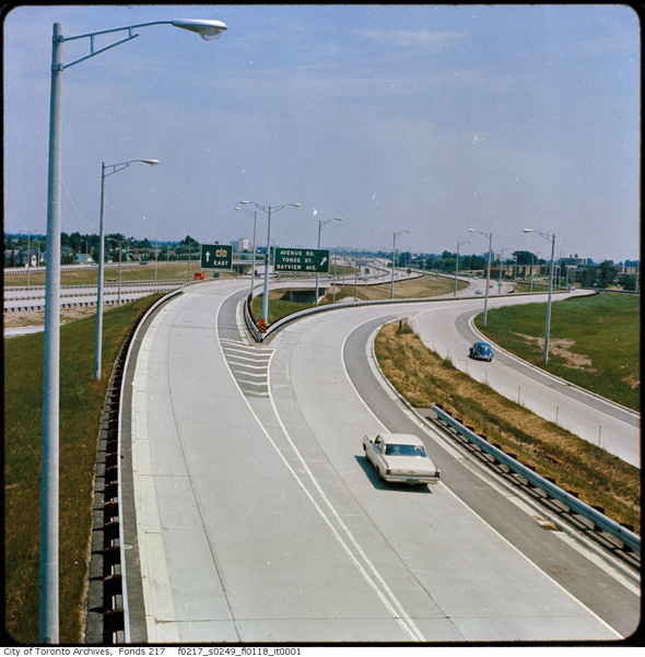
Allen Road / Spadina Expressway to Eglinton.
Toronto Archives unless otherwise indicated. With files from Derek Flack.


