
The birth of the Bloor Viaduct
The Bloor Viaduct, also known as the Prince Edward Viaduct, is a landmark project in Toronto.
Opened in fall of 1918, the bridge system is actually composed of two structures: the one that spans the Don Valley and the smaller western section that runs above the Rosedale Valley (and a third if you consider that the stretch of current day Bloor between Sherbourne and Parliament was built on fill).
The Viaduct is arguably the city's most important bridge, linking the eastern and western sections of Toronto over a valley that at one point left them very much divided. It was also a major factor in the birth of the Bloor-Danforth subway line (before it opened, the east/west subway line was almost built along Queen Street).
In addition to these practical features, the design is iconic as well, with those black steel arches towering above the valley below. Interestingly, it wasn't always destined to look this way. Along with a (failed) proposal to build a much longer bridge between Broadview and Sherbourne, where Bloor terminated at that time, there were also numerous other designs tabled for the viaduct.
Here's how the Viaduct has looked since its birth in Toronto.
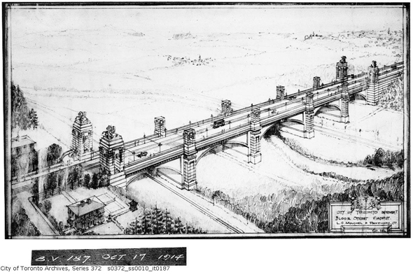
Alternative proposal by L.G. Mouchel and Partners Ltd., 1914
Alternative proposal by L.G. Mouchel and Partners Ltd., 1914
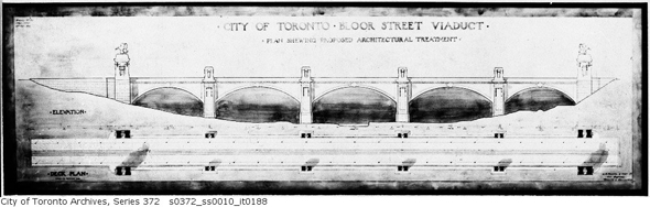
Detail of the Louchel plan, 1914
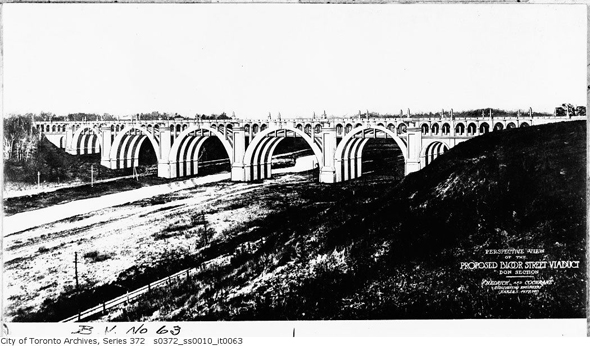
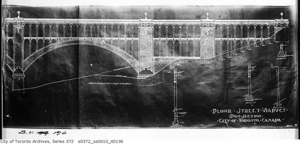
Hedrick and Cochrane design, 1914
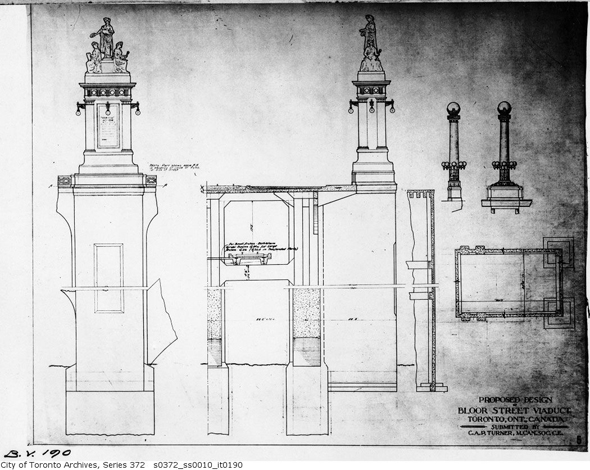
Unspecified alternative proposal, 1914
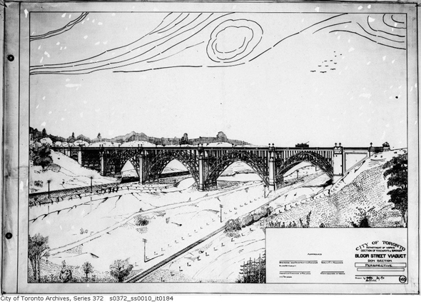
Rendering of adopted proposal
Getting started, 1915
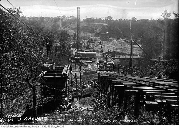
View of construction in the valley, 1915
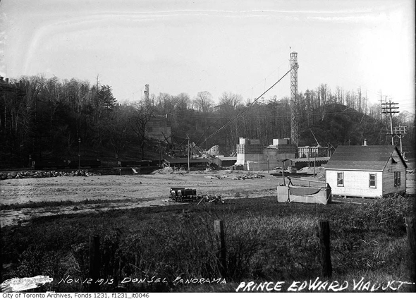
Laying the foundation in the Don Valley, 1915
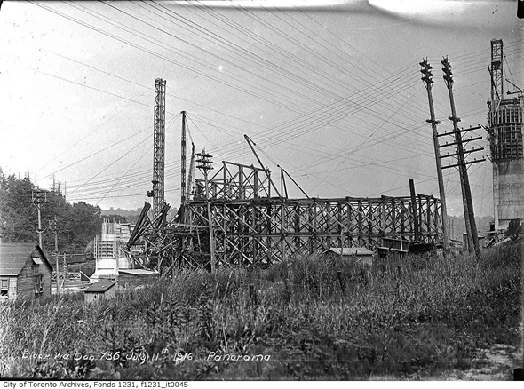
Construction, July 1916
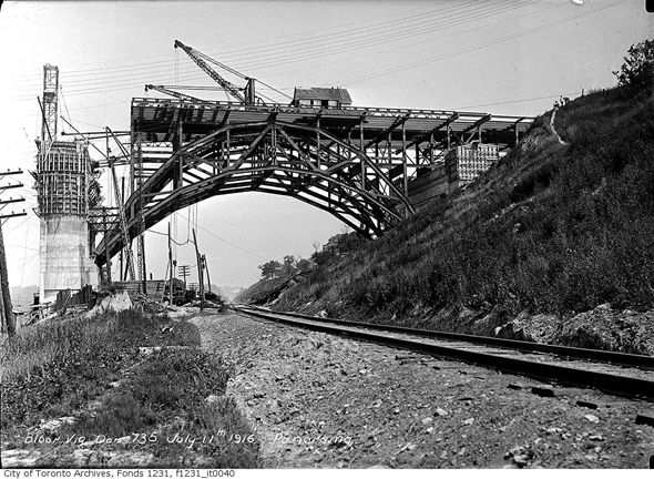
Construction July 1916
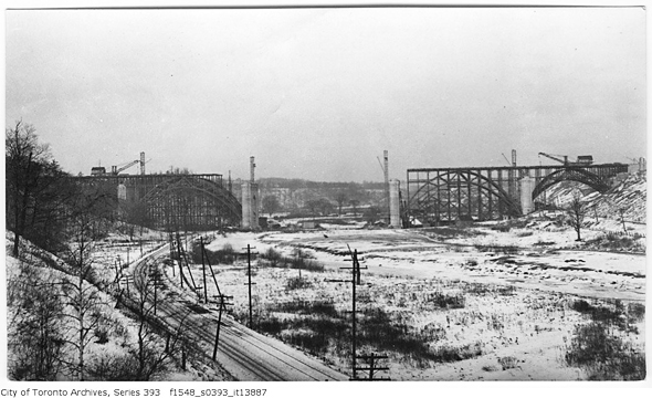
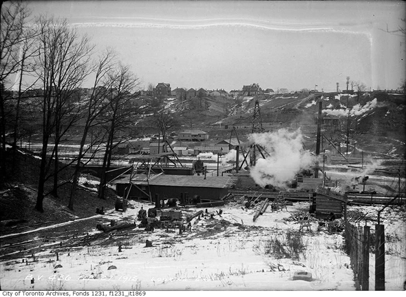
Progress by winter 1916
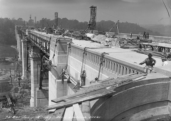
Taking shape, 1917
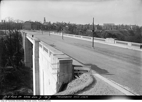
Rosedale side, 1917
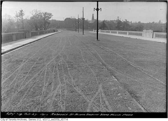
Rosedale side surface, 1917
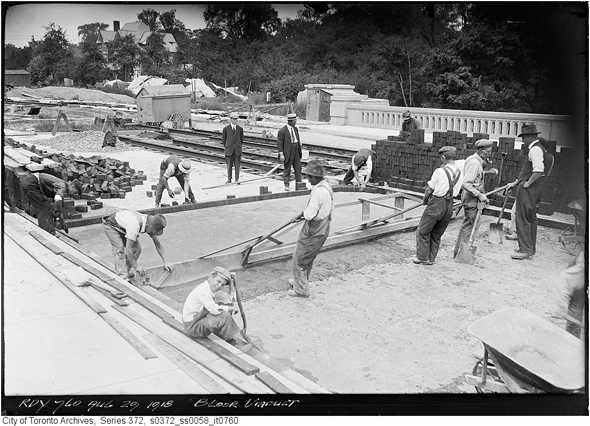
Paving, 1918

Laying track, 1918
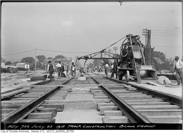
Laying track,1918
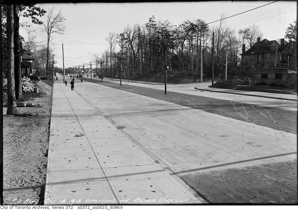
The new extension to Bloor Street, 1918
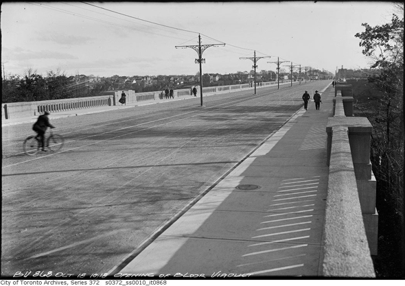
Just opened, 1918
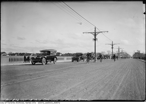
Just opened, 1918
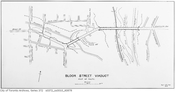
Final route of Prince Edward Viaduct
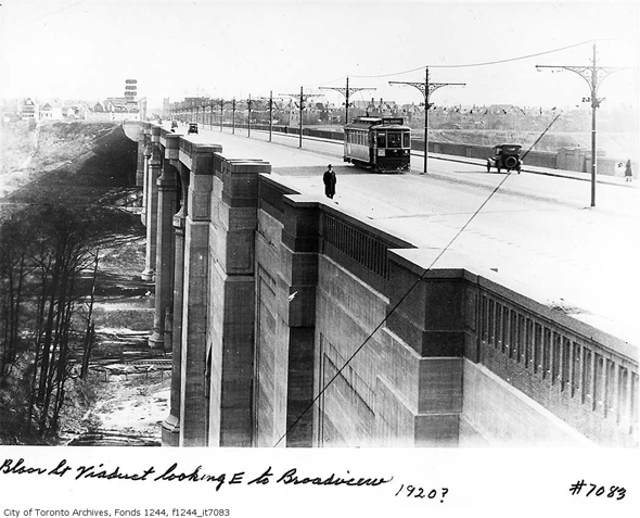
The Viaduct in 1920
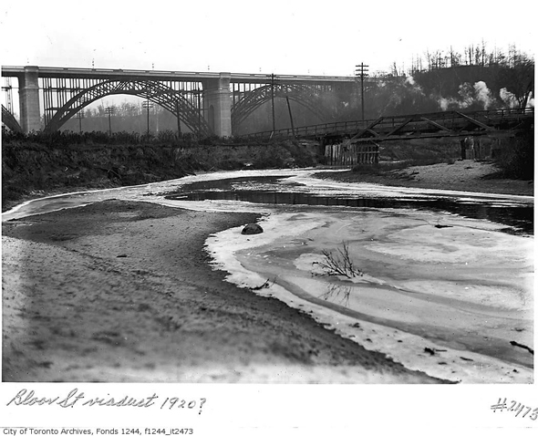
Another shot from 1920
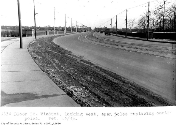
The Viaduct in 1933
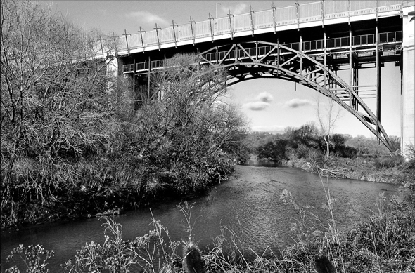
What it looks like today. Photo by Derek Flack.
The Toronto Archives. Written by Derek Flack.


