
The lost train stations of Toronto
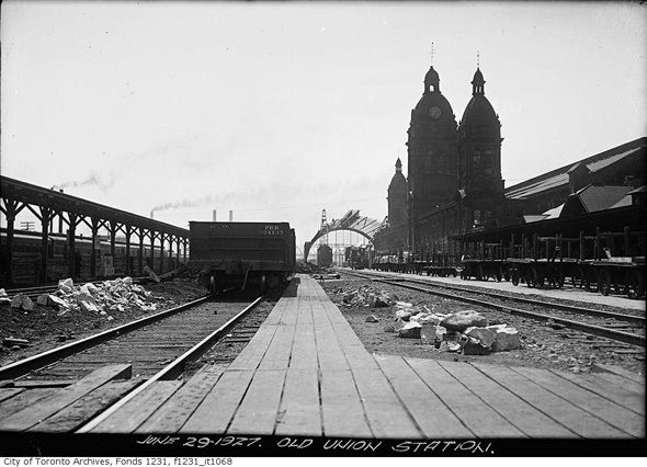
Toronto's lost train stations range in stature from the positively grand to the most modest of structures. In terms of the former, one thinks immediately of the majestic former Union Station (pictured above), which was rendered redundant when our current central terminus was completed in 1927. This was at a time when the idea of re-purposing a building of such a size wasn't even a consideration, so after the train sheds were removed in 1927 and 1928, the main buildings were also brought down in 1931. As foolish as it might be, I can't help but wonder what the space would look like today had it somehow survived. Can you imagine Toronto with a MusĂŠe d'Orsay type gallery?
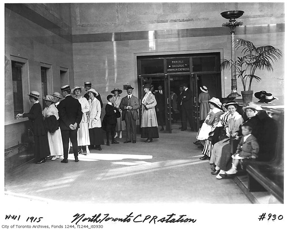
The majority of the other photos that compose this collection are of stations that serviced the CPR, GTR, and CNR lines that ran through Toronto, which were variously active with inter-city passenger trains between the 1850s and the early 1970s. Of these stations, I believe only one remains in its current location. An excellent example of how heritage preservation can work, the old North Toronto CPR Station near Yonge and Summerhill has served as the LCBO's flagship location since a full-scale restoration in 2004.
Update: See Derek Boles note in the comments below regarding the current whereabouts of Don Station.
Photos
Old Union Station (Front Street between York and Simcoe streets)
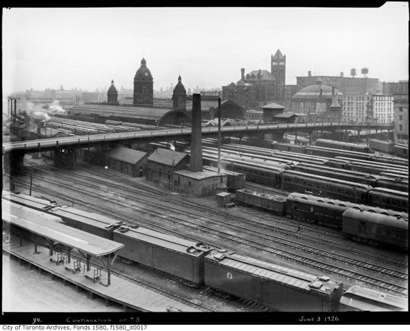
Early demolition of Old Union Station 1927
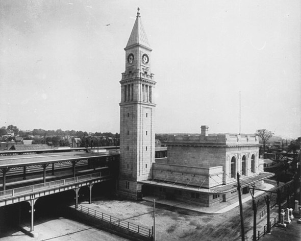
North Toronto CPR Station 1916 (Yonge and Summerhill area)
North Toronto CPR Station interior
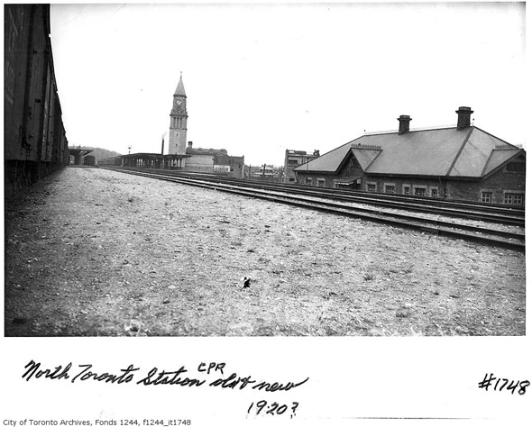
Old and new North Toronto CPR Stations
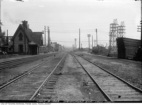
Davenport Station (Caledonia between Davenport and St. Clair) 1923
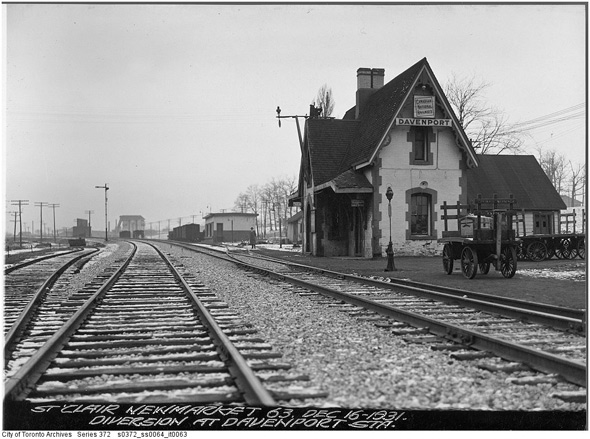
Alternate angle
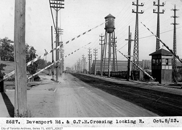
Davenport CNR crossing 1923
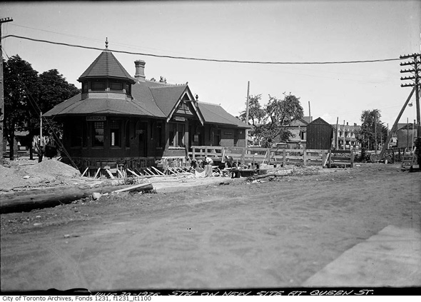
Don Station (near King and Queen Streets East)

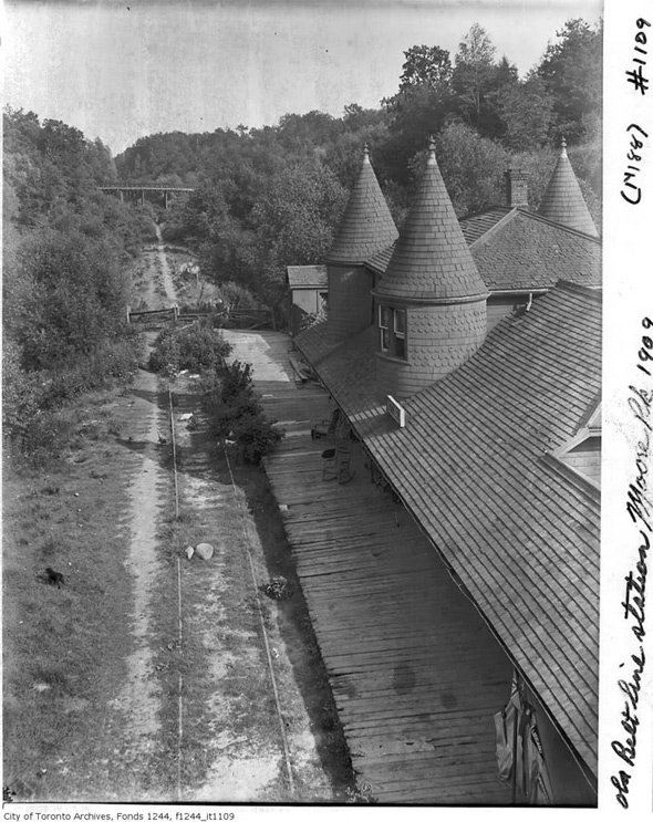
Moore Park Station 1909
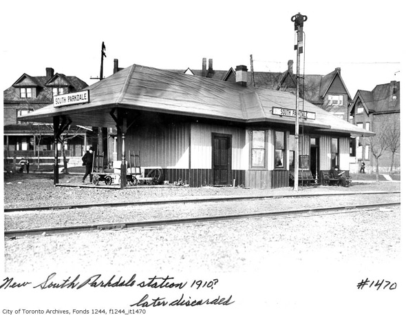
South Parkdale Station 1910 (near Jameson and Dowling Streets)
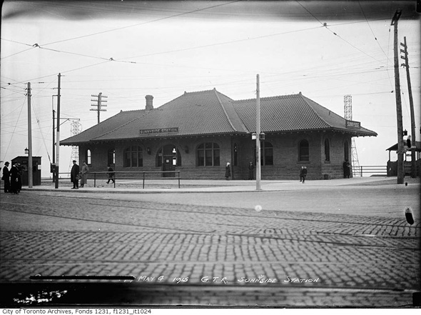
Sunnyside Station 1915 (at King, Queen and Roncesvalles Streets)
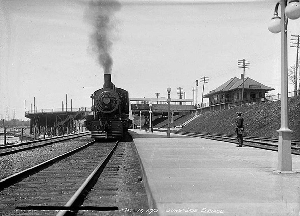
Alternate angle (also 1915)
Riverdale Station 1926 (Queen Street East at Degrassi)
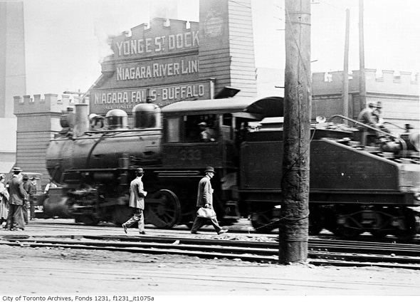
Near the Yonge Street Dock 1923
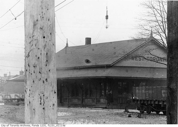
West Toronto Station 1910
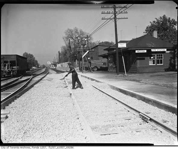
Weston Station 1940s (near Lawrence and Weston Roads)
See also:
All images except the lead from the Toronto Archives (series and fonds info contained at bottom). Lead image by the Detroit Publishing Company


