
This is what Toronto looked like in the 1880s
Toronto seems almost unrecognizable in the 1880s.
Lacking major landmarks like the Ontario Legislative Building (Queen's Park), E.J. Lennox's City Hall, the Confederation Life Building or the Flatiron/Gooderham Building (all of which were completed in the decade that followed), it's remarkable just how few structures from this period survive today.
There are, however, plenty of clues that tell you this is our city. Be it the geography, the presence of names like Eaton and Gooderham, the church spires that dot the skyline or the bustle of Yonge Street, there remains something unmistakably "Toronto" about these photos.
The Toronto of the 1880s was a place in which electric lights and telephone polls were just arriving on the street, asphalt started to be used for roads (1887), streetcars/trolleys were finally allowed to travel on Sundays and the Cathedral Church of St. James was one of the largest buildings in the city.
Here's what it all looked like.
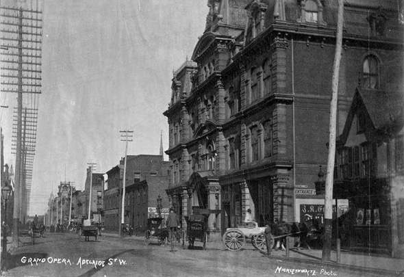
Grand Opera House
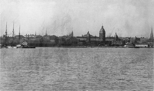
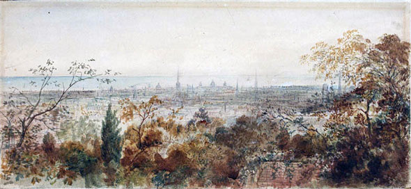
Skyline
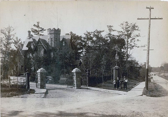
North Glen Road Bridge
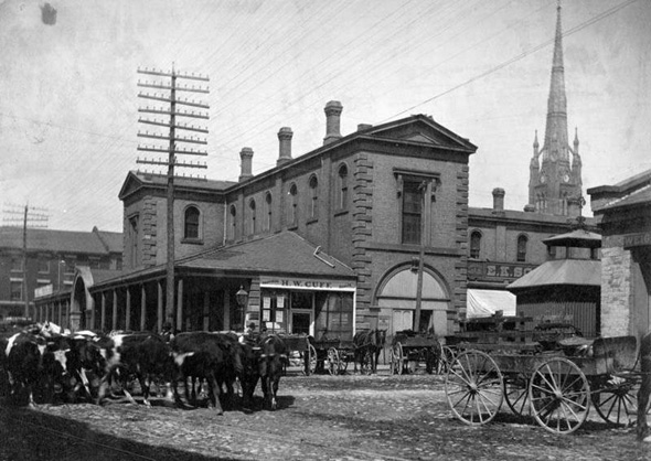
Original St. Lawrence Market
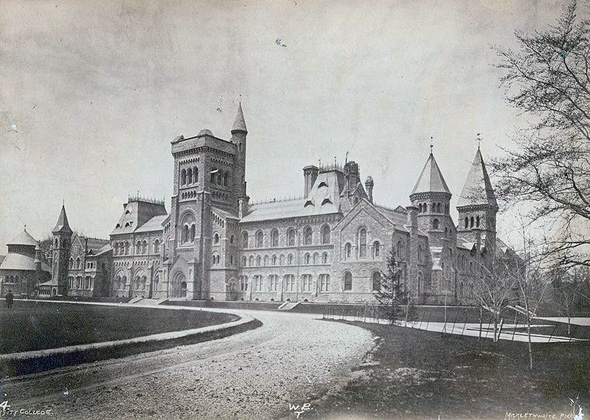
University College (U of T)
Yonge looking south from the YMCA
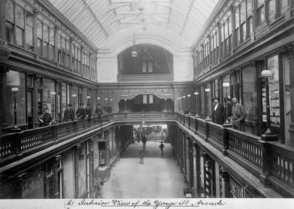
Interior Yonge Street Arcade
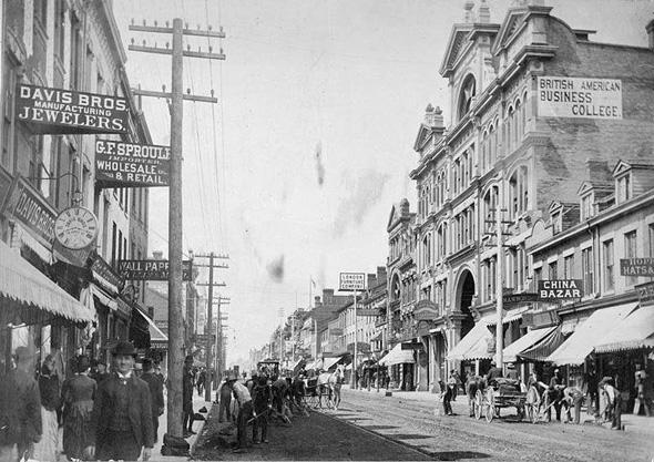
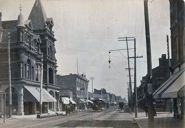
Yonge south of the arcade looking east
Looking south across the city
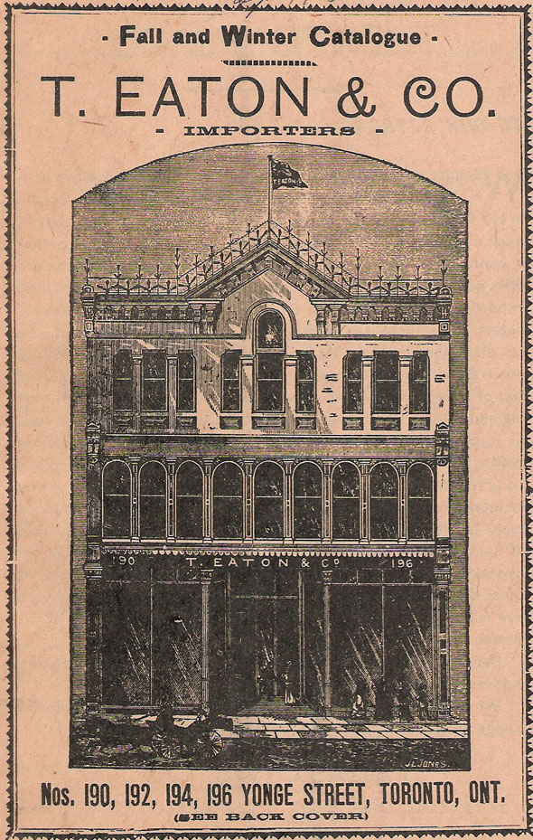
1884 Eaton's Catalogue
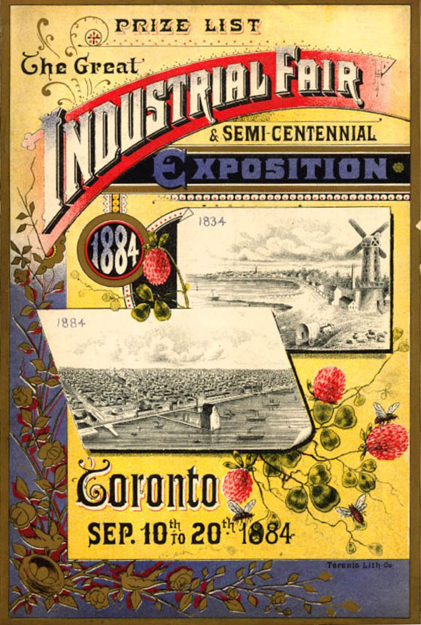
1884 Industrial Fair
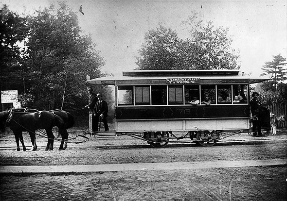
Horse-drawn streetcar
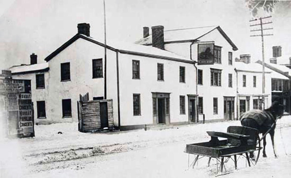
The Red Lion Inn
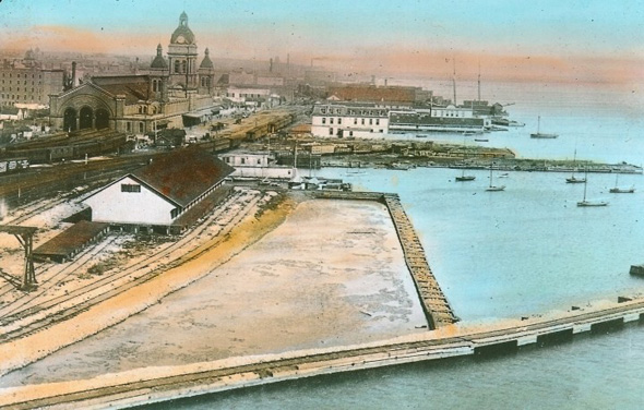
Waterfront looking east
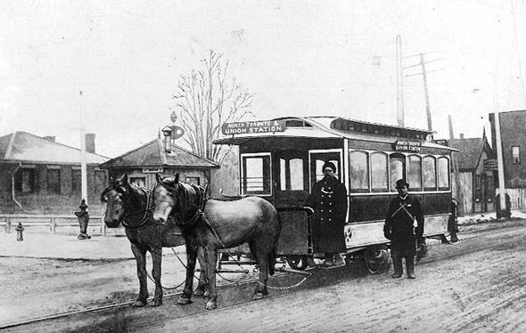
Two horse car at old North Toronto Station
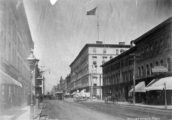
King and York streets

Toronto Wards 1889
The Toronto Archives and the Toronto Public Library. Written by Derek Flack.


