
This is what Toronto looked like in the 1900s
Toronto in the 1900s didn't much resemble the city we know today. Not only was the skyline virtually undeveloped—the tallest structures were the Temple Building at 10 storeys and the Trader's Bank Building at 15 storeys—but the Bloor Viaduct was yet to link the east and west sides of the city.
Old Union Station and the Yonge Street Wharf were still the main arrival points for the city, and Hanlan's Point was the place to be during the summer months.
On the flip side, what's now Old City Hall was already a towering and familiar presence, having been completed in 1899, and places like the St. Lawrence Market and the University of Toronto would be easily recognized by anyone able to travel back in time to that period.
In the 1900s, Toronto had a population of approximately 210,000 people, horses and carriages were still common on city streets, and the city suffered one of the worst fires in its history, losing almost all of the main commercial district (bounded by Bay, Wellington, Yonge, and Front Streets).
Here's what Toronto looked like through the 1900s.
1900
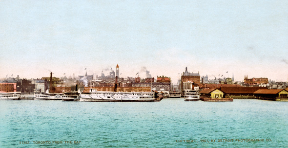
Toronto skyline
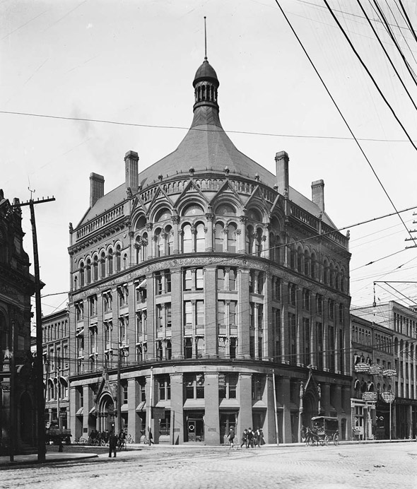
Board of Trade Building
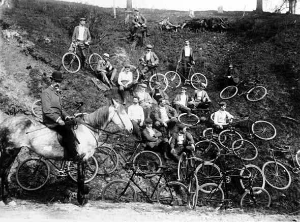
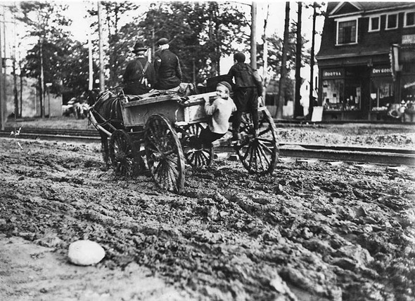
Cycling club
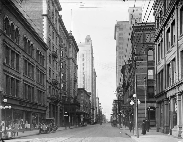
King Street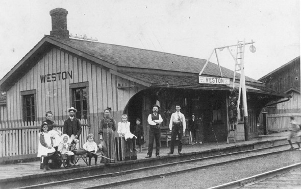
Weston Train Station
1901
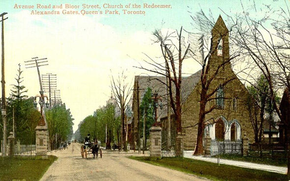
Avenue and Bloor
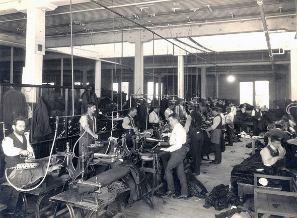
Eaton's factory interior
1902
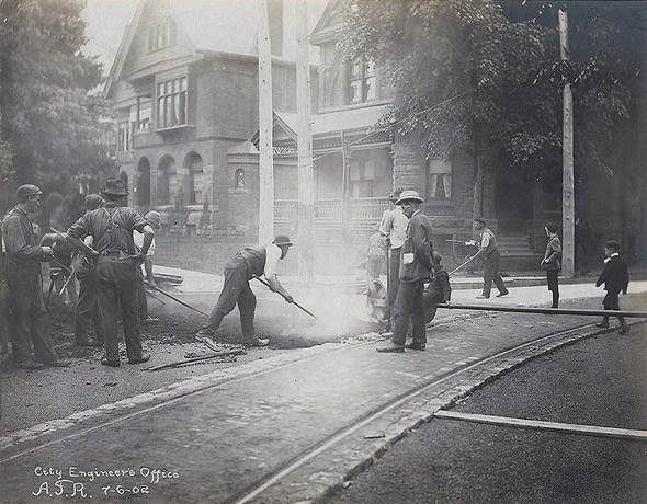
Laying asphalt on Elm Avenue
1903
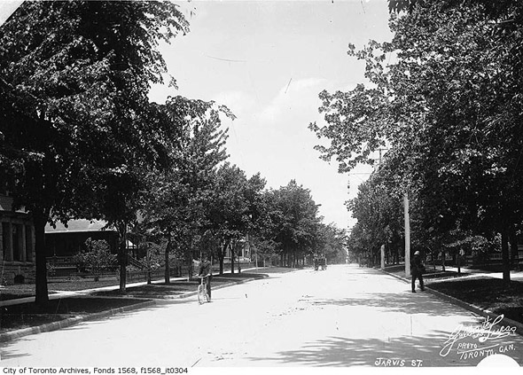
Jarvis Street
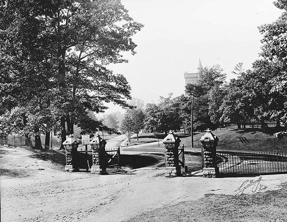
Entrance to U of T campus
Yonge looking north from Temperance
1904
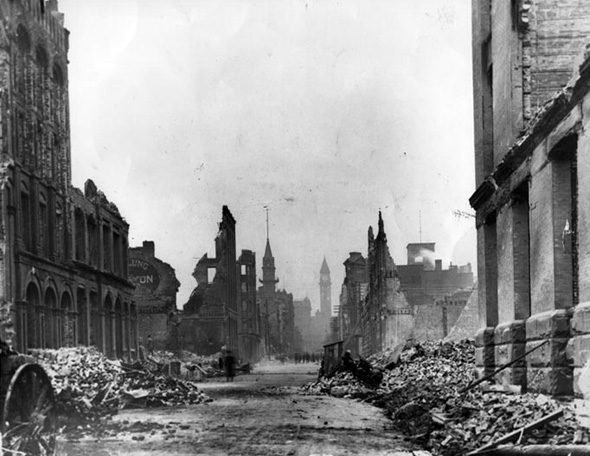
Fire aftermath
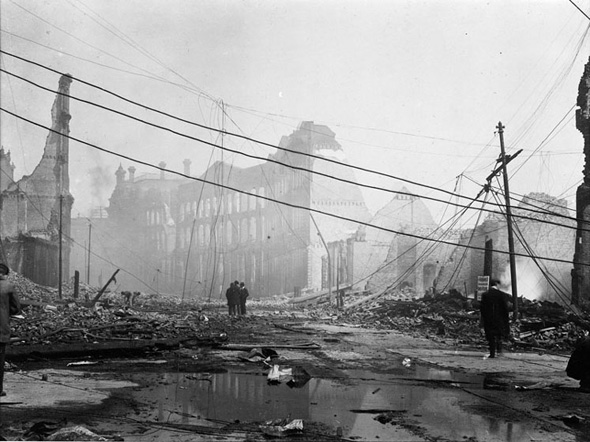
Fire aftermath
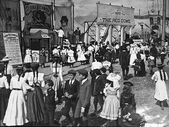
CNE midway
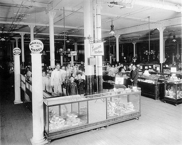
Candy department Eaton's
High Park
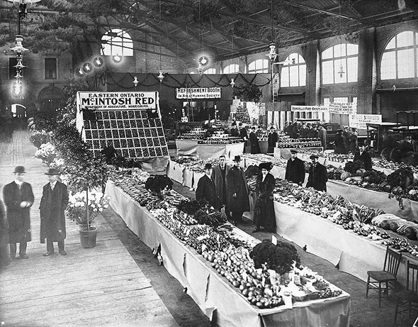
St. Lawrence Market
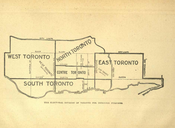
Toronto Ridings
1905
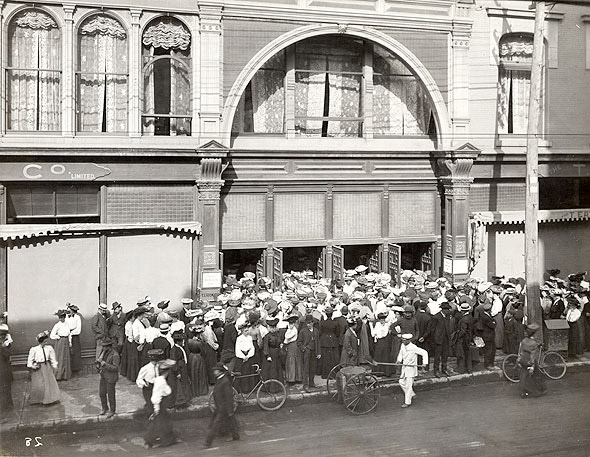
Friday deals at Eaton's
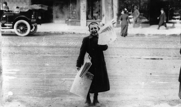
Newsboy
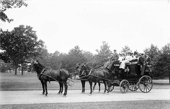
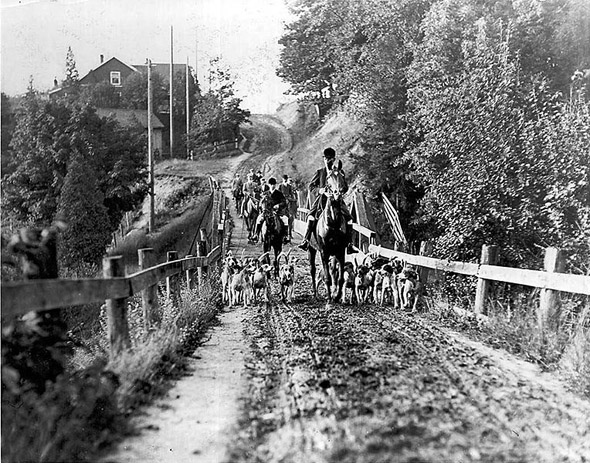
Tally Ho showing visitors around the city
1906
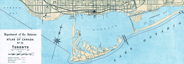
Toronto Harbour map
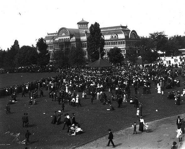
Crystal Palace (later destroyed by fire)
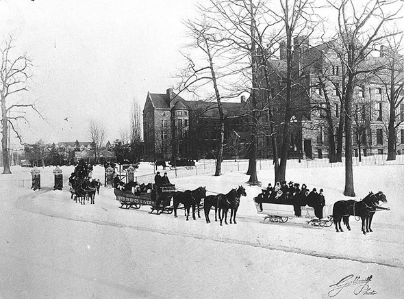
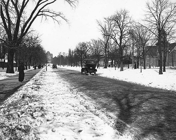
Sleighing at Queen's Park
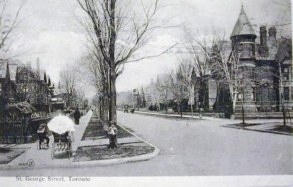
St. George Street
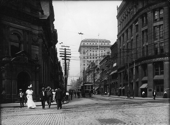
Yonge and Front
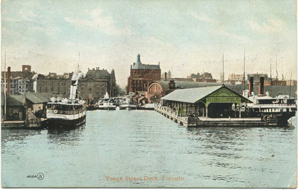
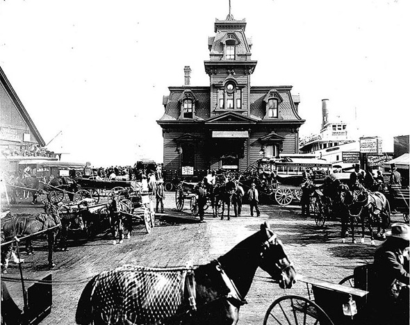
Yonge Street Dock
1907
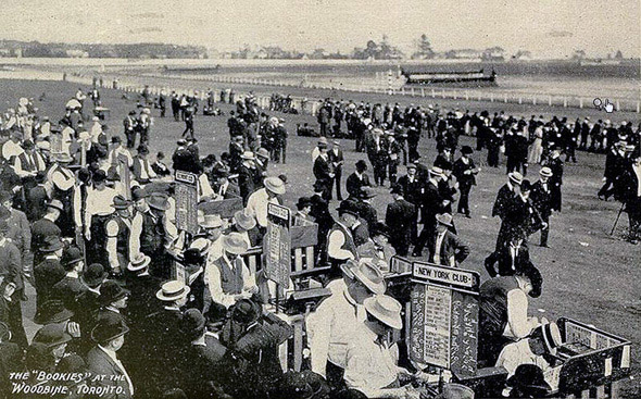
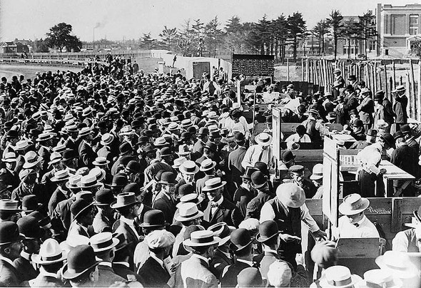
Bookies at Woodbine Race Track (original)
Carriage ride
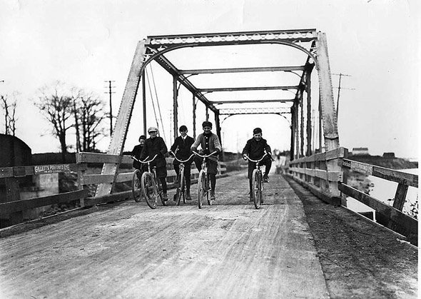
Cycling in Mimico
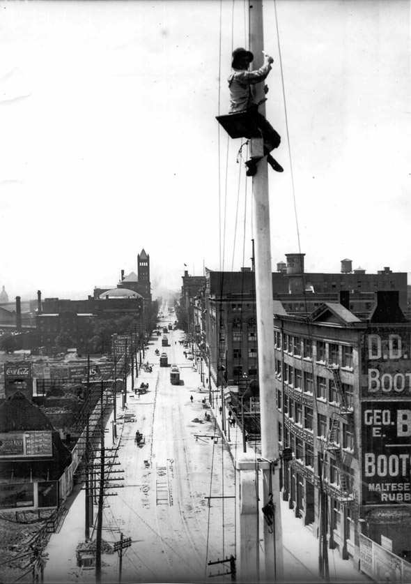
Flagpole painter looking west on Front
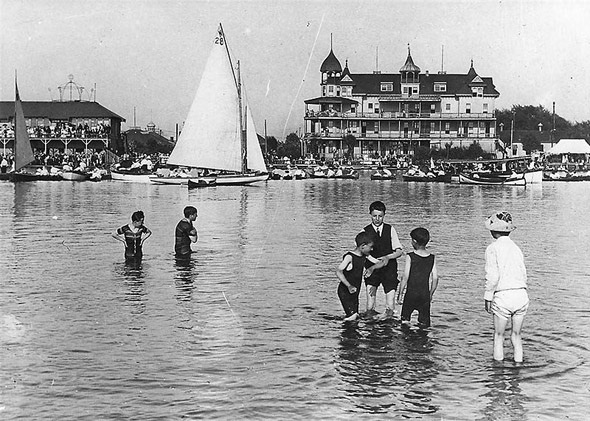
Hanlan's Point Hotel and Regatta
Bathurst north of St. Clair
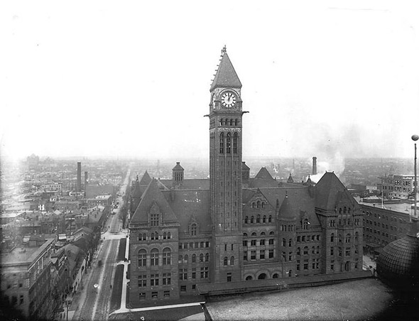
Old (but then new) City Hall
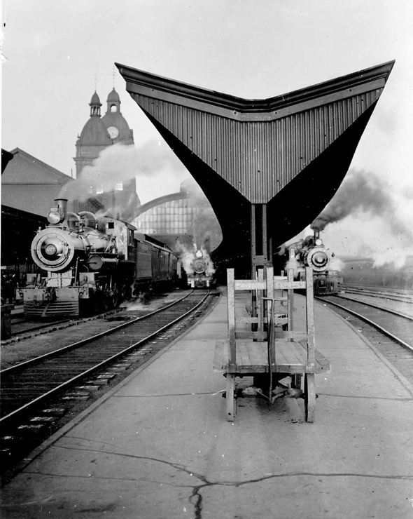
Old Union Station
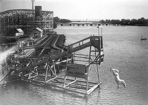
Diving Horse at Hanlan's Point
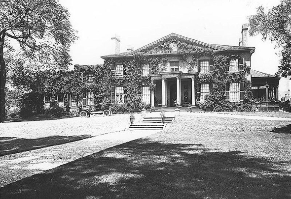
The Grange
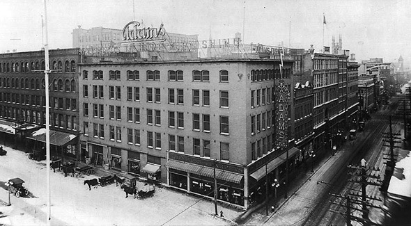
Confederation Life Building
Yonge Street Warf
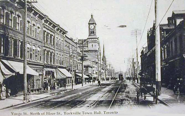
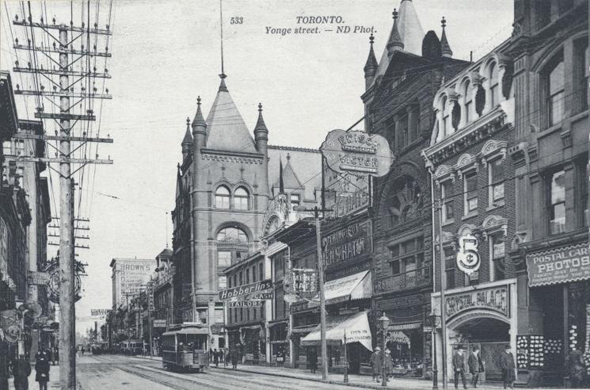
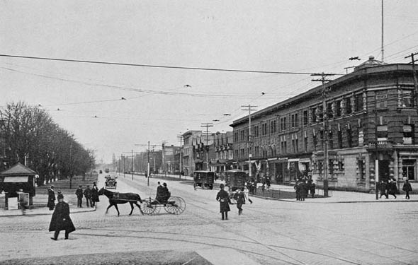
Yonge north of Bloor
1908
Queen and James
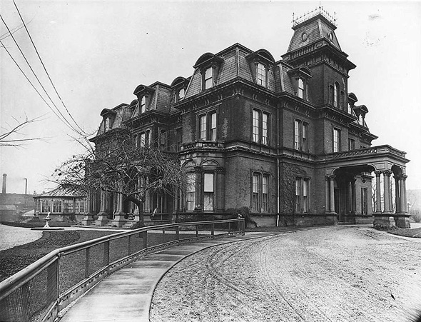
Government House
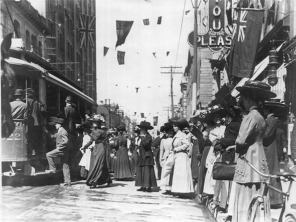
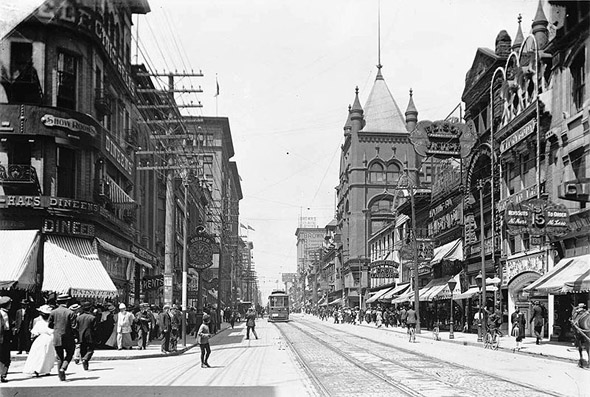
Yonge and Queen
Dufferin Racetrack
University Avenue (with Queen's Park in the distance)
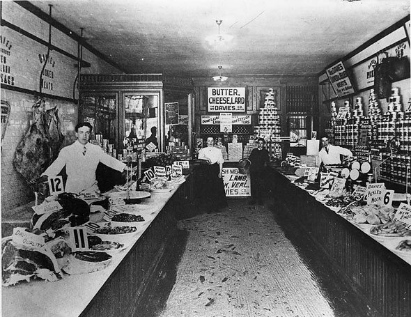
William Davies Store
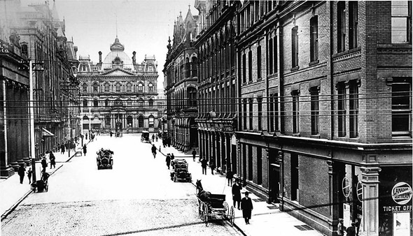
Toronto Street
1909
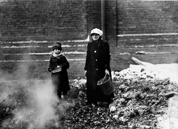
Collecting coal
Queen and Spadina
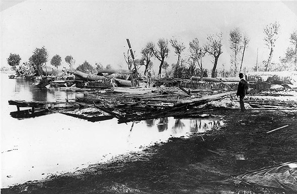
Ruins of Hanlan's Point Hotel
Toronto Archives and the WikiMedia Commons. Lead photo of cricket at Upper Canada College, 1908. With files from Derek Flack.


