
Original renderings of TTC subway stations
I came across these renderings yesterday while putting together my photo survey of 1950s Toronto. They're a part of the Toronto Archives Yonge Street Subway construction views collection, and I love the idealistic little glimpse they offer of yet-to-be built subway line. It's particularly fascinating to gauge how much (and how little) the stations have changed over the years.
Here are the stations I could find, with a little identification challenge at the end.
Exterior Eglinton Station
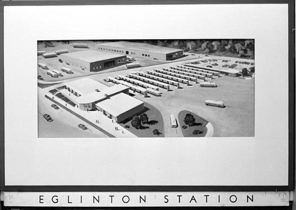
(remember the old bus terminals?)
Eglinton Interior
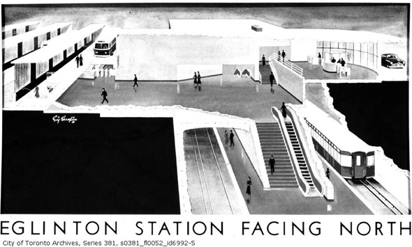
(pretty similar)
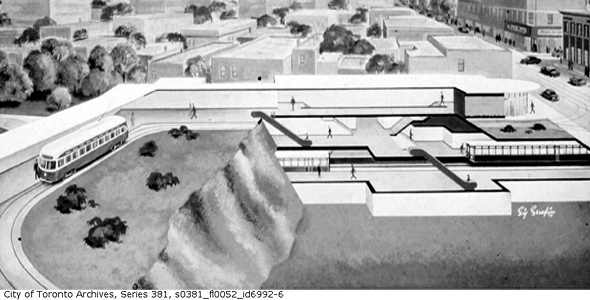
Queen Street Mezzanine
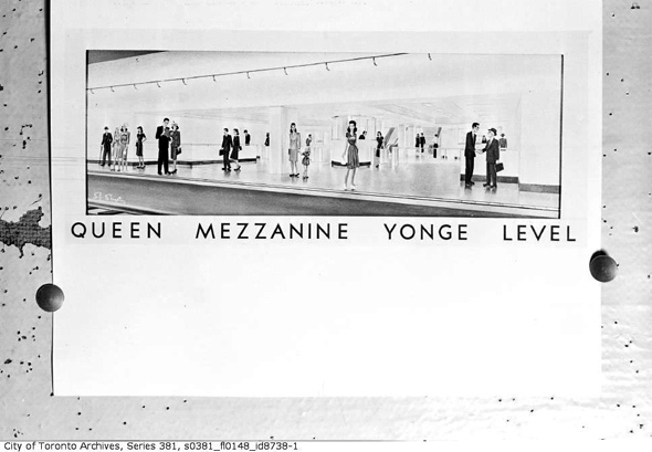
(fashionable riders)
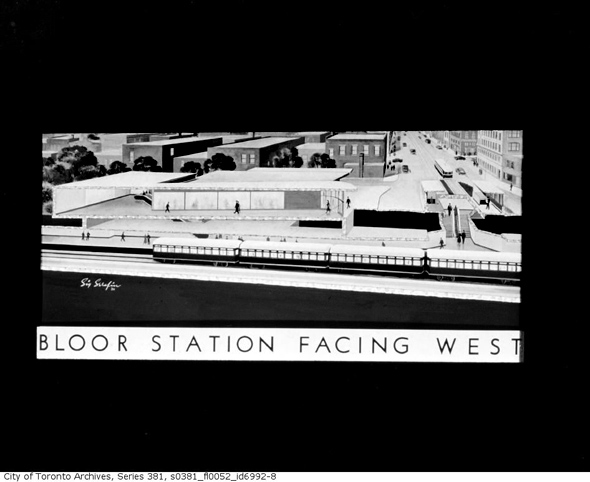
Bloor Station (no Yonge Station underneath)
And how about a little challenge on the last, unlabeled rendering: which station does this represent? There are a bunch of clues to give it away, but I'll let a commenter take the honours.
All images from the Toronto Archives, Strathy Smith fonds (link above).


