The essential Toronto bike map
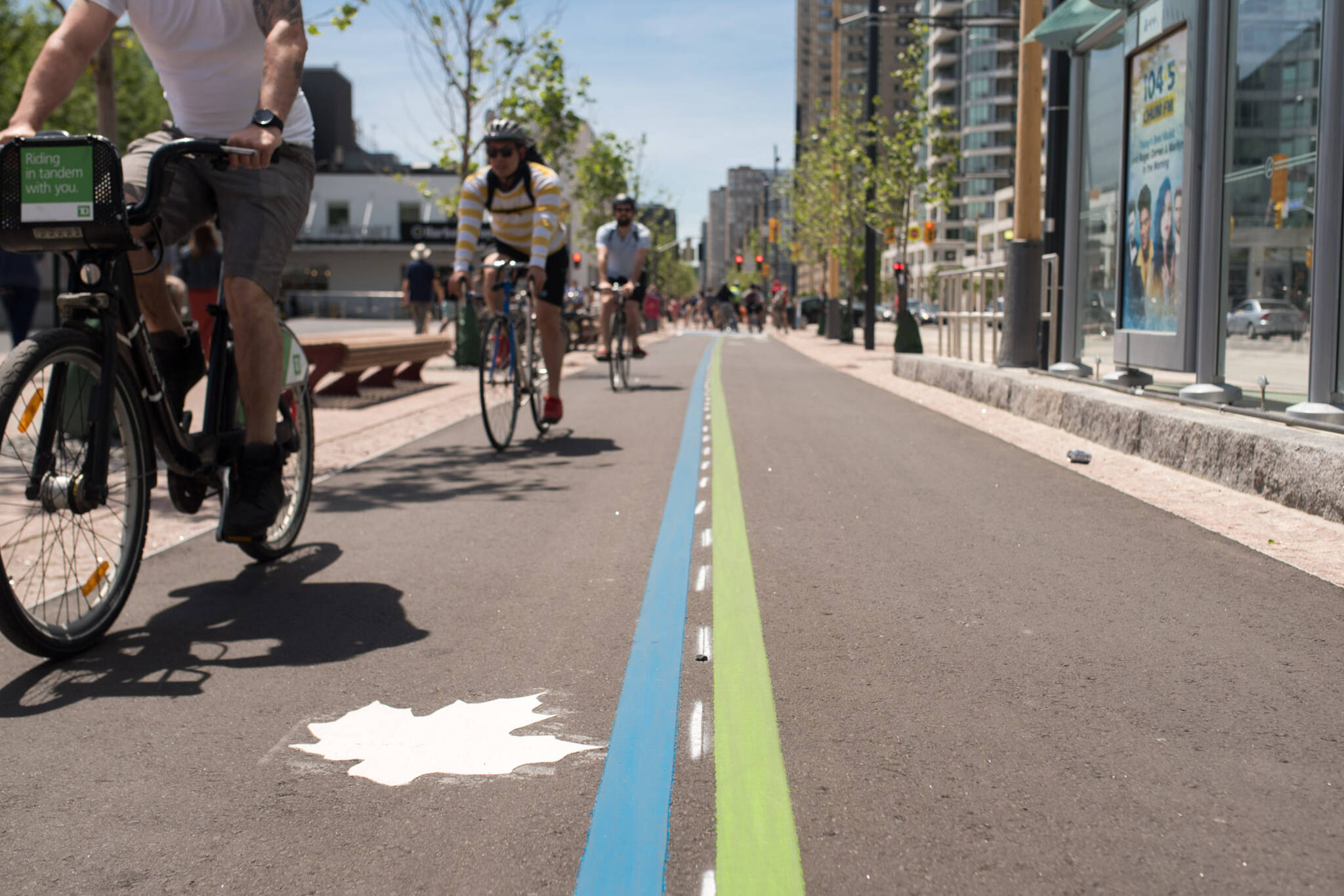
Toronto bike maps tend to focus on one or two elements of the city's cycling infrastructure — like bike share stations or trails — but given that there are so many various resources out there, we thought we'd combine them into one master map.
This essential Toronto bike map pulls together info on bike paths and lanes, multi-use trails, bike share stations, public repair stops, and bike stores in an effort to provide a quick and handy guide for local cyclists out to discover the world of biking in this city.
As numerous off-road trails are already marked on the base map, those have been left off here, thought it's worth consulting our guide to mountain biking in Toronto. It's also worth noting where all the steepest hills are.
You'll need to zoom in to get a good sense of what's been plotted out, but once you do, it quickly becomes clear that Toronto is very much a bike town.
Editor's Note: The info pertaining to bike lanes, multi-use trails, cycle tracks, and shared roadways stems from the City of Toronto's 2014 bike network map. We have added major examples of new infrastructure, though it's possible the map is missing some of the most recent bike lanes, sharrows, etc.
Natta Summerky
Latest Videos
Latest Videos
Join the conversation Load comments


