What the Port Lands used to look like
Even if a Ferris wheel isn't in the cards, the Port Lands is transforming, and will continue to for the years to come. The plans may change around a bit in the coming years, but the remaining industrial character of the area will certainly erode as new developments proceed.
Even as the full-scale revitalization of the Port Lands remains a project in process, the neighbourhood—if it's fair to call it that—is one in transition.
Back in the 1970s, the Port Lands were very much in use as an industrial hub. The Hearn Generating Station was still operational, oil tanks littered the landscape, and the sight of a ship coming and going was a regular occurrence.
As was the case elsewhere, the 1980s witnessed a decline in industrial use—though not to the same degree as places like Liberty Village—and the transition toward a mixed-use identity got underway.
If you're yearning for a glimpse at the Port Lands' industrial past, here's a visual history.
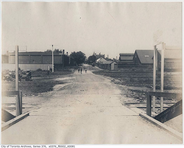
Cherry Street looking south, 1898
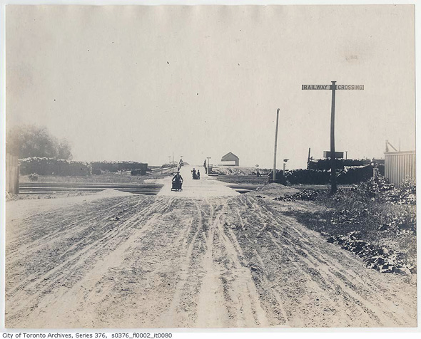
Cherry Street looking north, 1898
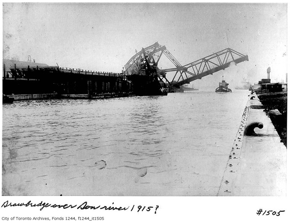
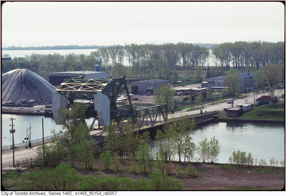
Cherry Street Bridge, 1915
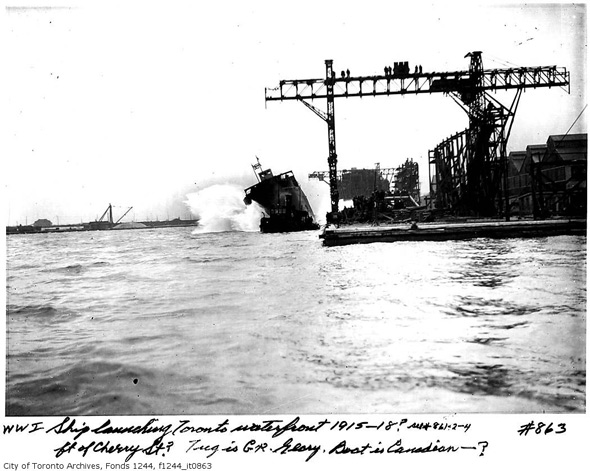
Ship launching, around 1915
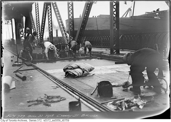
Construction on Cherry Street Bridge
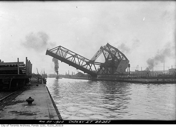
Cherry Street Bridge, 1920
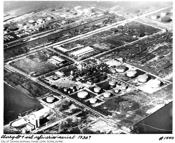
Port Lands refineries, 1930
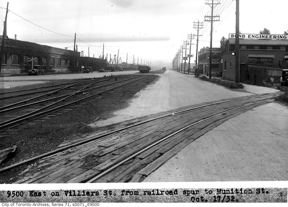
Villiers Street looking east, 1932
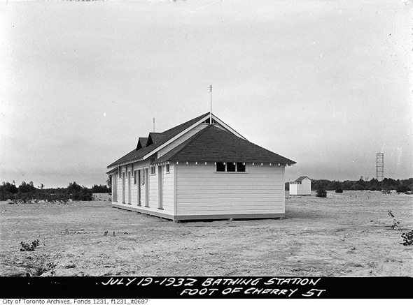
Cherry Bathing Station, 1932
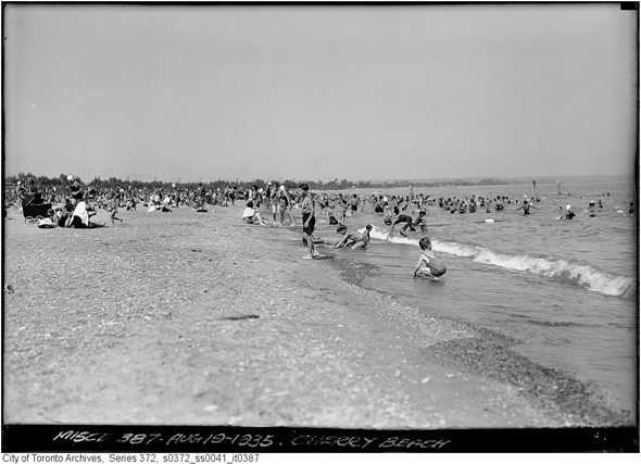
Cherry Beach, 1935
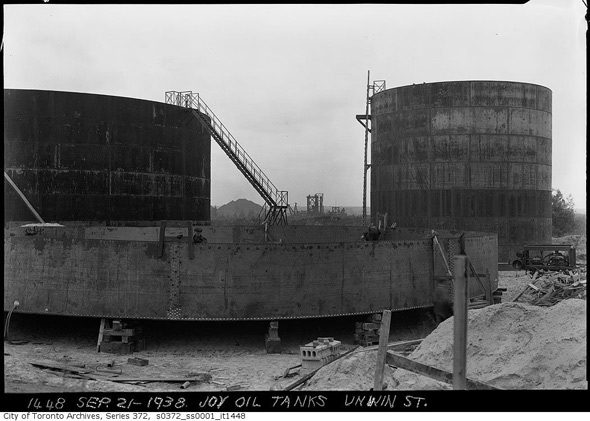
Joy Oil Tanks, 1938
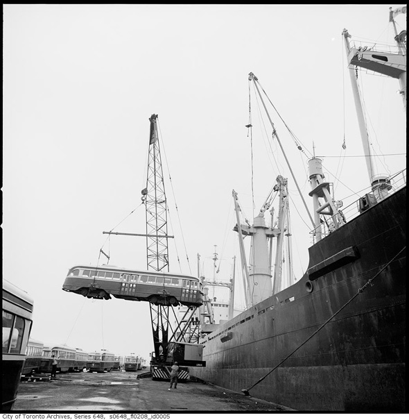
Streetcar shipment, 1963
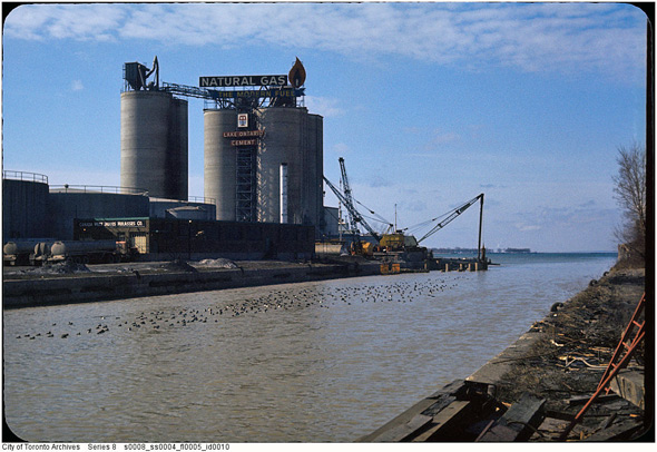
Port Lands, 1970s
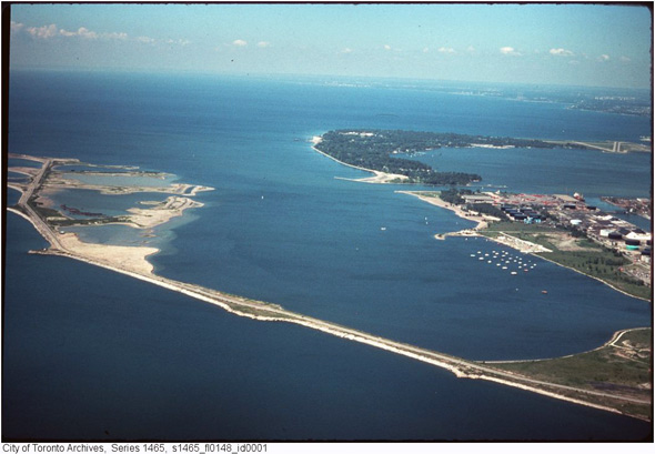
Leslie Street Spit, 1970s
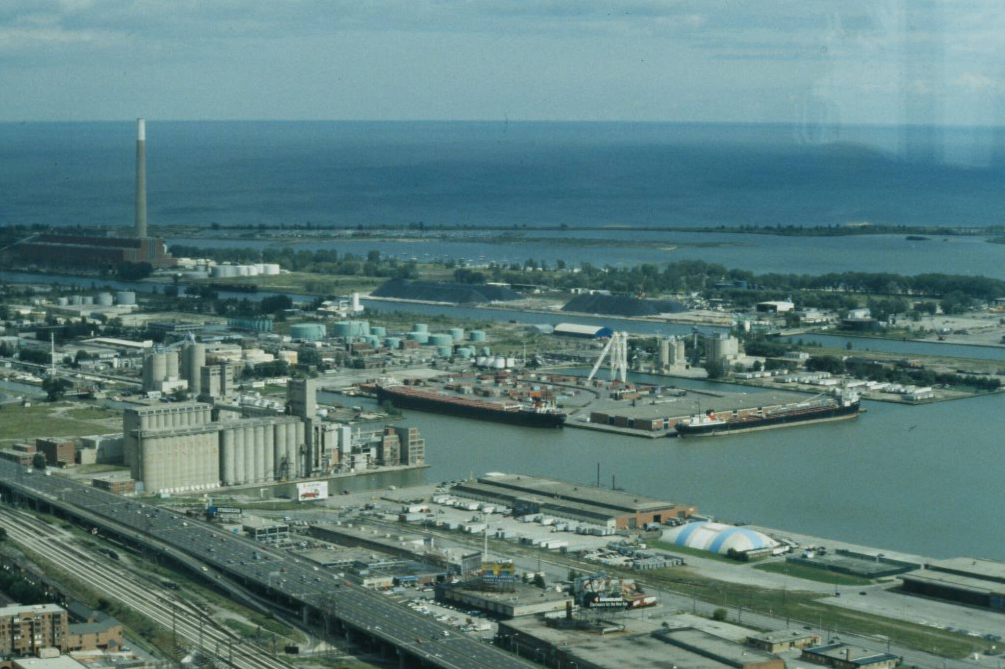
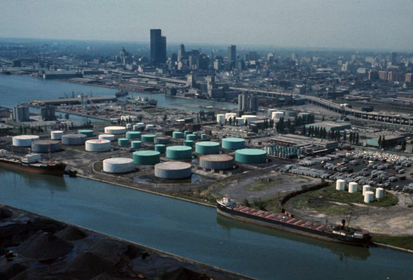
Aerial view, 1970s
Cherry Street, 1970s
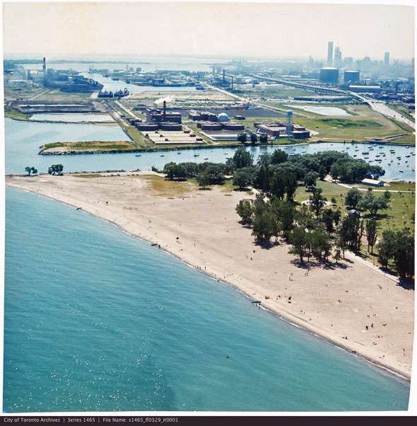
Looking across Woodbine Beach, 1975
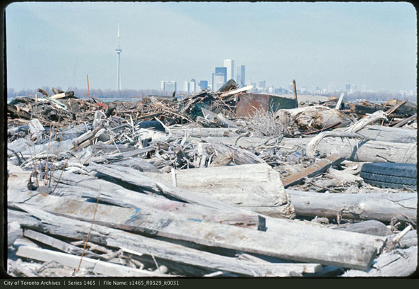
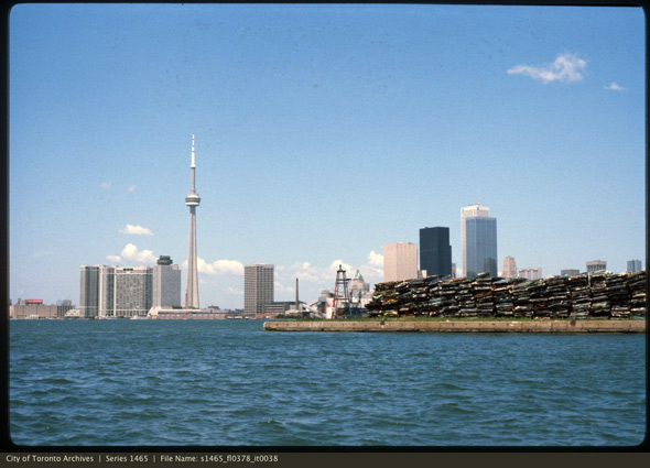
Fill/garbage on Leslie Street Spit, 1977
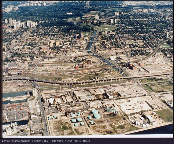
Aerial of Port Lands, 1980s
Aerial view of the harbour, 1980s
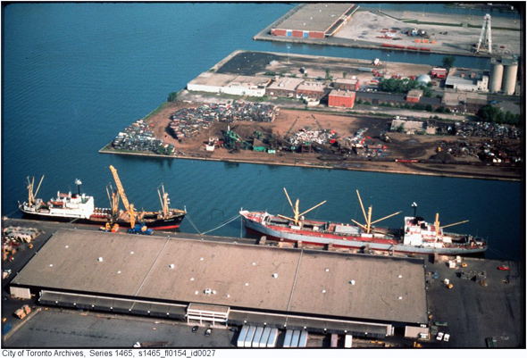
Wrecked cars in the Port Lands, 1980s
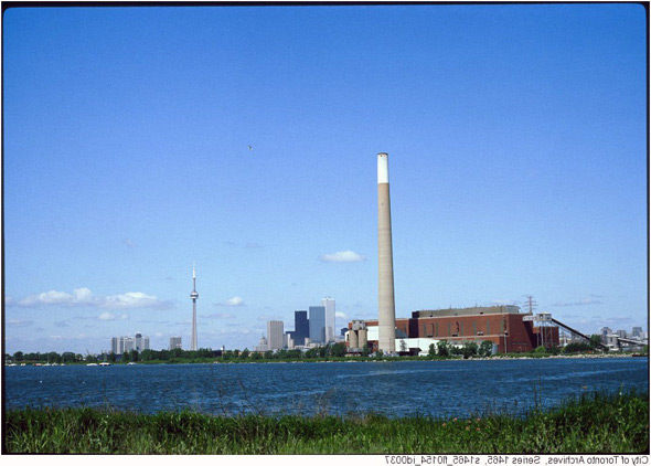
Hearn Generating Station, 1980s
Cherry Street, 1988
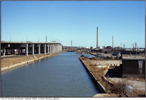
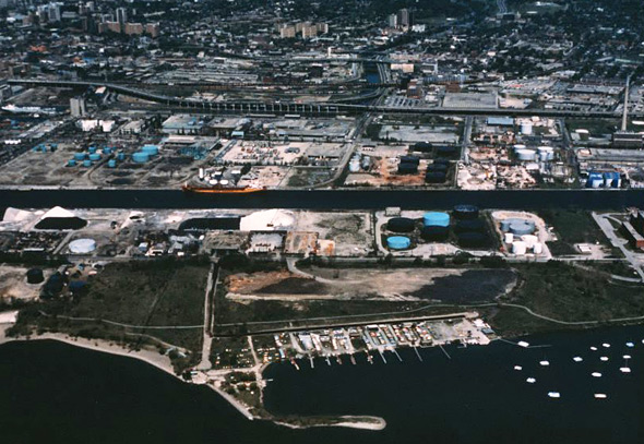
Keating Channel, 1988
The Toronto Archives. Written by Derek Flack.
Latest Videos
Latest Videos
Join the conversation Load comments


