Dangerous snow squalls are messing up parts of Ontario and Toronto could be next
Snow squalls continue to blast through Southern Ontario, threatening the safety of commuters who are fast-remembering that winter is anything by the idyllic wonderland we all picture during heat waves in July.
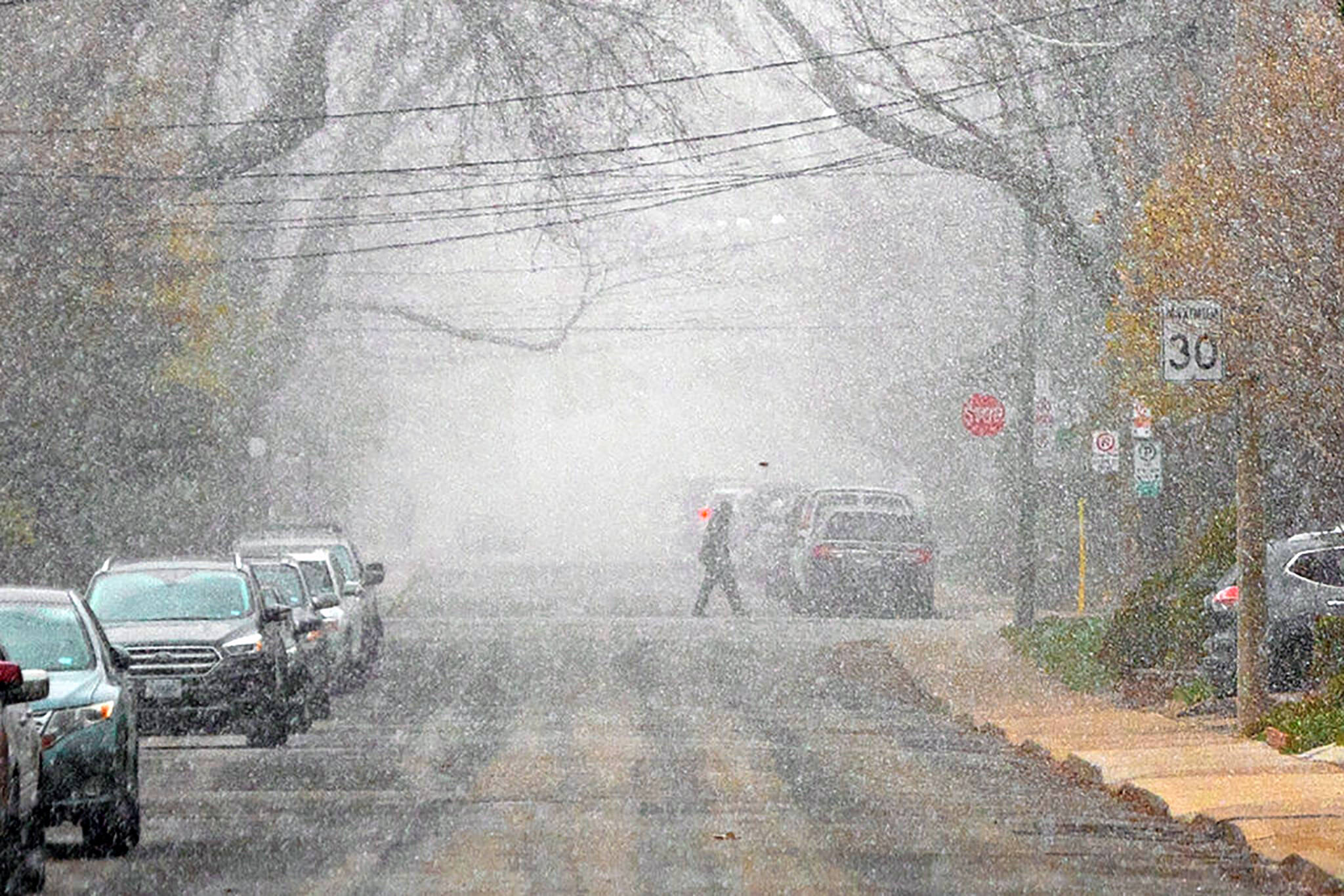
Cold temperatures and persistent precipitation are making travel tricky around regions such as Grey - Bruce and Huron - Perth, where snow squall warnings remain in effect after a nasty night on the roads.
"Local snowfall accumulations of 10 to 20 cm are expected by this afternoon with amounts up to 30 cm possible in some areas that experience more persistent snow squalls," reads an advisory issued by Environment Canada at 10:44 a.m. on Tuesday morning for communities including Saugeen Shores, Kincardine, Wingham and Blyth.
Snow squall warning in effect for Ontario South - Local snowfall accumulations of 10-20 cm by this afternoon with amounts up to 30 cm possible. For road conditions and other traveller information from the Ministry of Transportation, visit https://t.co/j5UCHeUNfV or call 5-1-1. pic.twitter.com/2b6VVeLgeh
— 511Ontario (@511Ontario) November 23, 2021
"Snow squalls cause weather conditions to vary considerably; changes from clear skies to heavy snow within just a few kilometres are common," notes the federal weather agency.
"Prepare for quickly changing and deteriorating travel conditions. Travel is expected to be hazardous due to reduced visibility in some locations."
Fortunately for those who need to get around, Environment Canada says that these particular snow squalls should weaken into flurries by Tuesday afternoon.
Some difficult travel is still expected, however, according to The Weather Network, which stated in an update this morning that "the next round isn't far off." Yayyy.
Snow squall warnings remain in effect for parts of southern Ontario, with up to 30 cm of snow possible in some of the hardest hit areas. #ONStorm #ONSnow
— The Weather Network (@weathernetwork) November 23, 2021
In Toronto, chilly temps are actually expected to rise on Wednesday before dropping right back down into the negatives (-4 C, specifically), with rain showers or flurries predicted to arrive Thursday night.
A chance of flurries is also in the forecast for Toronto on both Friday and Saturday.
Residents in some parts of the GTA, including Richmond Hill and Markham, are already seeing some of the white stuff, though not as much of it as those in Barrie or Collingwood.
First big fat flakes coming down over Markham just now! Are you ready for winter? #onstorm #Snowplowing pic.twitter.com/mclQLxy94k
— MPS Property Services (@About_MPS) November 23, 2021
As for today, experts advise caution on the roads in affected parts of Ontario until the aforementioned snow squalls chill out a bit.
"Areas along the shores of Lake Huron, western sections of the Greater Toronto Area towards Kitchener, and areas south of Georgian Bay, including Collingwood towards Barrie, will be at the greatest risk for these lingering squalls throughout Tuesday," reads the Weather Network update.
"Friday will be blustery and colder with scattered flurries expected, as bands of lake-effect snow set up across the snowbelt regions east and southeast of Lake Huron and Georgian Bay once again."
Latest Videos
Latest Videos
Join the conversation Load comments


