Here's a colour-coded map of COVID zones in Ontario
The Ontario government released a brand new colour-coded framework last week that outlines rules, restrictions and zones for every region throughout the province based on its local COVID-19 situation. To help you keep track, we've created a map of each region and its current designated zone.
The framework includes five different zones, each with a specific colour attached: Prevent-Green, Protect-Yellow, Restrict-Orange, Control-Red and Lockdown-Grey.
In the green zone, "restrictions reflect broadest allowance of activities in Stage 3," according to the province, while the highest-risk settings remain closed. In the yellow zone, enhanced targeted enforcement, fines and enhanced education to limit further transmission are present, and public health measures for high-risk settings are also in place.
The orange zone, meanwhile, includes enhanced measures, restrictions and enforcement while avoiding any closures, and the red zone includes broader-scale measures and restrictions across multiple sectors to control transmission (similar to modified Stage 2).
"Restrictions are the most severe available before widescale business or organizational closure," says the province of the red zone.
The grey zone can be compared to a modified Stage 1 or pre-Stage 1, according to the government, with widescale measures and restrictions, including closures, to halt or interrupt transmission.
Regions have been placed in specific zones based on a number of indicators and thresholds, including case rates, per cent positivity, health system capacity and more.
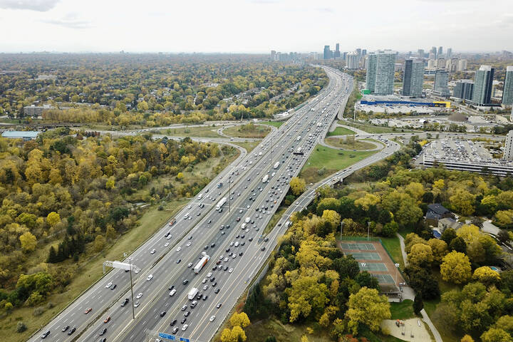
While no regions have been placed in the Lockdown-Grey zone just yet, the province's COVID-19 hotspots — Toronto, Peel, Hamilton, York and Halton — are all currently in the red zone, and both Toronto and Peel have additional restrictions in place, introduced by their local public health authorities.
Provincial public health officials will be constantly reexamining the indicators and thresholds to determine whether regions should move forward or backwards through the zones.
Below is a list and map of all the Ontario public health regions and their current zones as of Nov. 17, 2020.
Prevent (standard measures) – GREEN
- Algoma Public Health
- Haliburton, Kawartha, Pine Ridge District Health Unit
- Hastings and Prince Edward Counties Public Health
- Lambton Public Health
- Leeds, Grenville and Lanark District Health Unit
- North Bay Parry Sound District
- Northwestern Health Unit
- Porcupine Health Unit
- Renfrew County and District Health Unit
- Timiskaming Health Unit
Protect (strengthened measures) – YELLOW
- Haldimand-Norfolk Health Unit
- Middlesex-London Health Unit*
- Public Health Sudbury and Districts*
- Southwestern Public Health*
- Chatham-Kent Public Health
- Eastern Ontario Health Unit*
- Grey Bruce Health Unit
- Kingston, Frontenac and Lennox and Addington Public Health
- Peterborough Public Health
- Thunder Bay District Health Unit
Restrict (intermediate measures) – ORANGE
- Brant County Health Unit*
- Niagara Region Public Health*
- Ottawa Public Health
- Wellington-Dufferin-Guelph Public Health*
- Huron Perth Public Health*
- Simcoe Muskoka District Health Unit
- Windsor-Essex County Health Unit*
Control (stringent measures) – RED
- City of Hamilton Public Health Services*
- Halton Region Public Health*
- York Region Public Health*
- Durham Region Health Department*
- Region of Waterloo Public Health and Emergency Services
Lockdown (maximum measures) - GREY
Latest Videos
Latest Videos
Join the conversation Load comments