How far will a 10 minute trip take you in Toronto?
Planning a journey in Toronto has never been so eerily beautiful. Thanks to Isoscope, the work of data visualization students in Europe, the effectiveness of a short car ride taken at any time of day is rendered in a visually striking, fluid-looking splat.
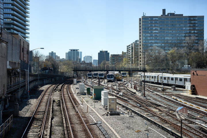
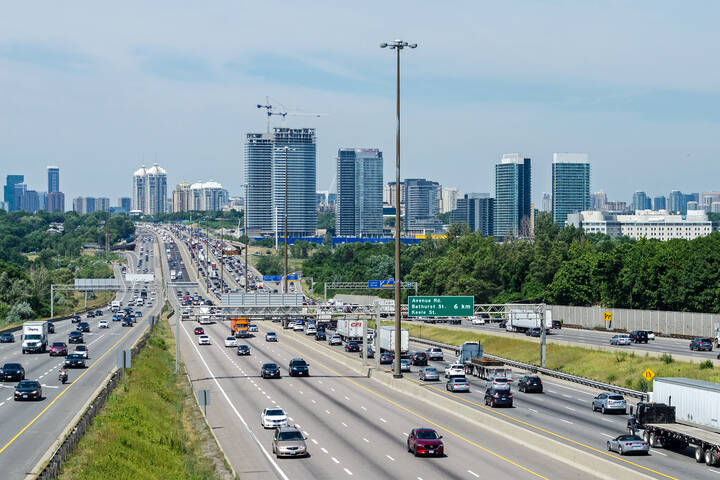
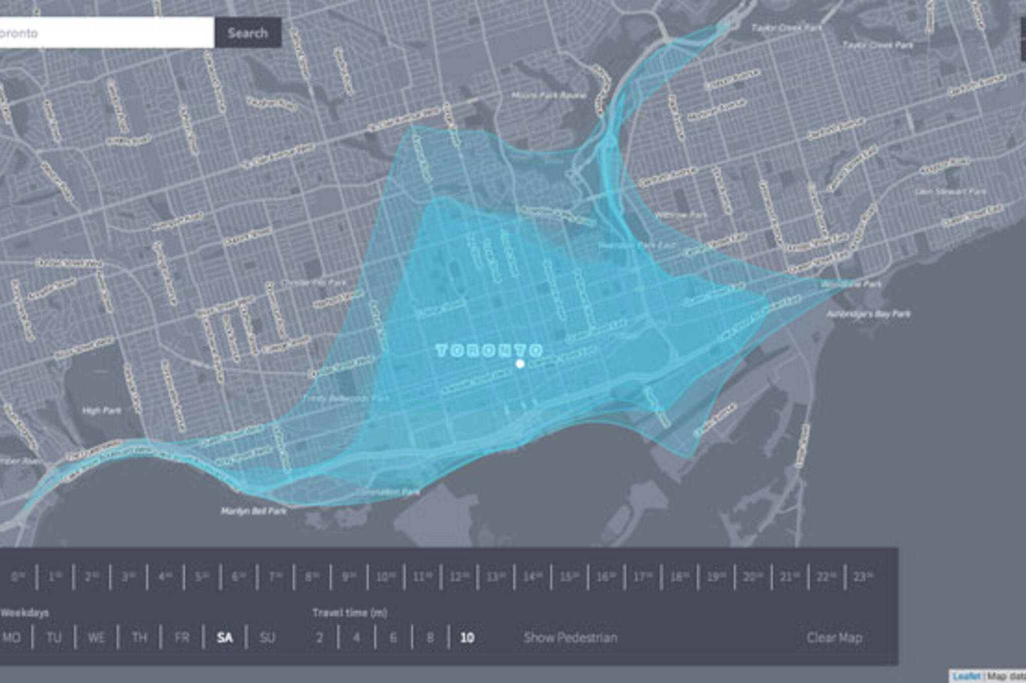
The site generates a layered blue blob to illustrate how far a 2-, 4-, 6-, 8-, or 10-minute car journey will take you from your starting point, factoring in typical traffic conditions and the time of day. A 10-minute car ride in optimal conditions from the blogTO office on Temperance Street, say, gets you to St. Clair and Avenue, Eastern and Coxwell, or a good distance down the Don Valley Parkway or The Queensway into Mimico (image above.)
There's also a pedestrian mode which performs the same calculations for walkers.
The map overlay was created by students at the Potsdam University of Applied Sciences in Germany and it works for a bunch of cities worldwide. "Isoscope tries to [compare] different means of transport and their sensitivity for disturbances," they write. The blob tends to elongate in tendrils where the going is good and remain confined when traffic is slow.
Try it for yourself and see how far you can go in 10 minutes.
Chris Bateman is a staff writer at blogTO. Follow him on Twitter at @chrisbateman.
Latest Videos
Latest Videos
Join the conversation Load comments