What is the worst place in Toronto for public transit?
With an election coming up and every candidate eager to please, the Downtown Relief Line is once again at the forefront of the transit conversation in Toronto. What isn't getting as much attention, however, are the parts of the city that are chronically under served by all forms of public transit.
According to the results of a study released earlier this week by Walk Score, a research group that grades neighbourhoods all over the world on how easy it is to do errands on foot and access transit, the worst place to be without a car in Toronto is Markland Wood, an area west of Hwy. 427 between Burnhamthorpe Road and Dundas Street West in Etobicoke
The neighbourhood ranked dead last in Toronto with a score of 49 out of 100 - 9 points less than Etobicoke West Mall, the second worst area just to the north. The bottom four in the Walk Score list are all in western Etobicoke, tucked between Etobicoke Creek and Hwy. 427.
Parts of Markland Wood are relatively close to rapid transit. There's a walk involved, but Kipling station is just to the east and there are bus routes along the West Mall, East Mall, Bloor, and Burnhamthorpe that connect to the subway.
I've been trying to pinpoint the absolute worst place for transit in Toronto for a while and Markland Wood wasn't on my radar. My chief suspect has always been Rexdale in the extreme northwest corner of the city where streetcars and subways are entirely absent.
Near Steeles and Kipling, it's more than 13 kms - 20 mins by car, an hour by bus, or almost three hours on foot - to the nearest subway station at Downsview, and from there it takes another 30 minutes to get downtown, assuming that's the intended destination.
Walk Score gave Rexdale-Kipling a "good" transit score of 65 out of 100, ranking it 13th from bottom overall, but only a few bus routes penetrate close to the winding streets of detached homes near where the Humber River breaks the city limits.
South of the 401 but still in Rexdale, the area surrounding the high-rise towers on Dixon Road are also only served by bus. Both locations are on the city's list of Neighbourhood Improvement Areas, the new name for priority neighborhoods.
To make matters worse, the Kipling, Islington, and Royal York buses that service both of these areas are below the city-wide average in terms of punctuality and quality of service rankings released by the TTC.
The only improvement on the horizon for Rexdale and its surrounding neighbourhoods is the 11 km Finch West LRT line that, should it ever get built, will run from Humber College to Finch West station when the Spadina line extension opens later this decade.
There are no transit upgrades planned between the 401 and the extreme west end of the Bloor-Danforth line.
What do you think? Can you come up with a worse part of the city for public transit?
Chris Bateman is a staff writer at blogTO. Follow him on Twitter at @chrisbateman.
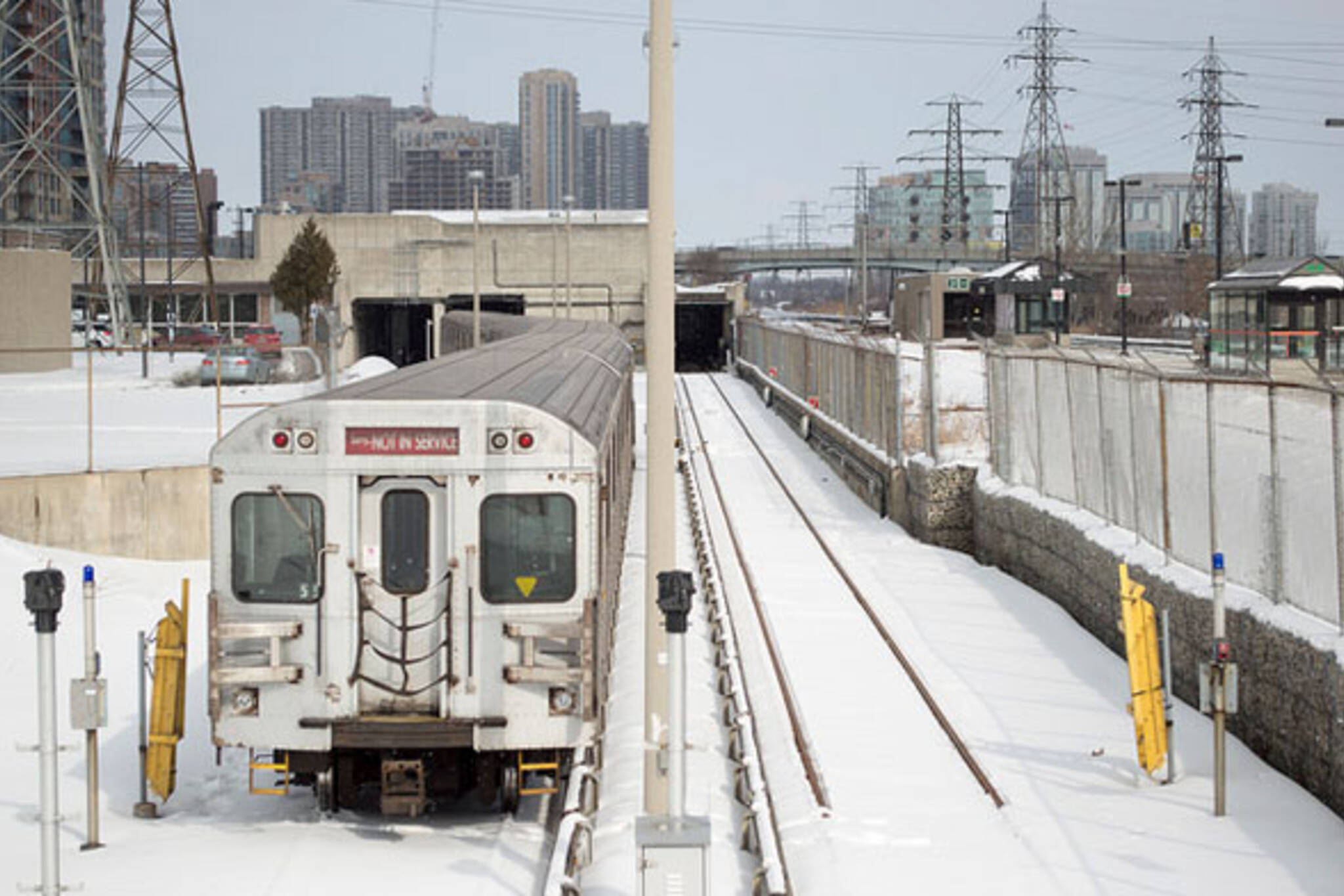
Image: Bryan Bonnici/blogTO Flickr pool.
Latest Videos
Latest Videos
Join the conversation Load comments