What Avenue Road used to look like in Toronto
Avenue Road, Toronto's most redundantly named street, spans about nine kilometres from Bloor St. to just north of Highway 401. An extension of University Avenue, along with Queen's Park, it used to make up a sizeable chunk of what was once referred to as Highway 11A. Back in the 1930s, the idea was to divert traffic from Yonge Street (Highway 11) to improve access to downtown Toronto.
Looking at photos from the 1940s, one sees 11A split west from Yonge via the Hogg's Hollow bridge. That bridge is still in use to this day, though it has been designated as part of Highway 401 since the early '50s. Now Avenue Road terminates just north of the 401 at Bombay Avenue in Armour Heights. Believe it or not, the 11A highway designation stayed in place all the way until 1997 before it was ultimately abandoned. There are even a few markers left out there if you pay attention.
That's the route info, but what about the name? Well, aside from some ridiculous theory that a city planner (some peg John Graves Simcoe) once uttered "Let's 'av a new road" at the southern tip of the street, no one really knows the surefire etymology of the term. In all likelihood it has to do with British usage conflating avenue with tree-lined street, a description that matches the thoroughfare in its earliest iteration as an extension of University Avenue (check out the 1930 photo below, which also features the old gates at Avenue and Bloor).
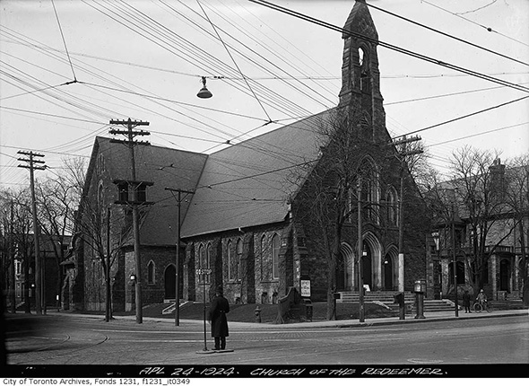
In the late 1950s, Avenue Road was widened to accommodate growing vehicular traffic in Toronto. Widespread efforts to make the city more car-friendly had commenced in the early '40s, but it was still possible to add lanes here on account of the relatively low density north of Davenport Road. They made due to the south as well, but walk by the Church of Redeemer today and you'll notice just how close it gets to the roadway. There's no room to spare.
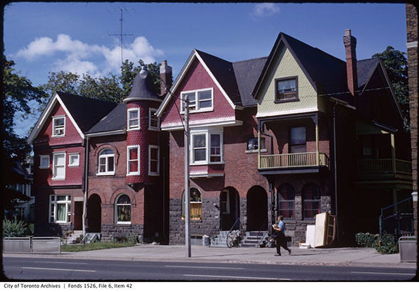
From the '60s onwards, the photos below tend to capture the general vibe of the street that remains to this day, even if the hodgepodge of retail shops has slowly given way to a more corporate makeup, particularly north of Lawrence. Oh, and should you be looking to get straight downtown from the 401, it's still a way faster option that Yonge St.
PHOTOS
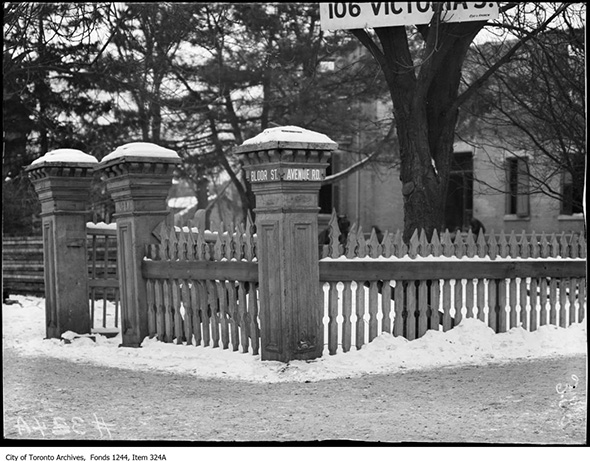
Bloor and Avenue Road street signs, 1908
Bloor and Avenue Road, 1924
The ROM in 1930
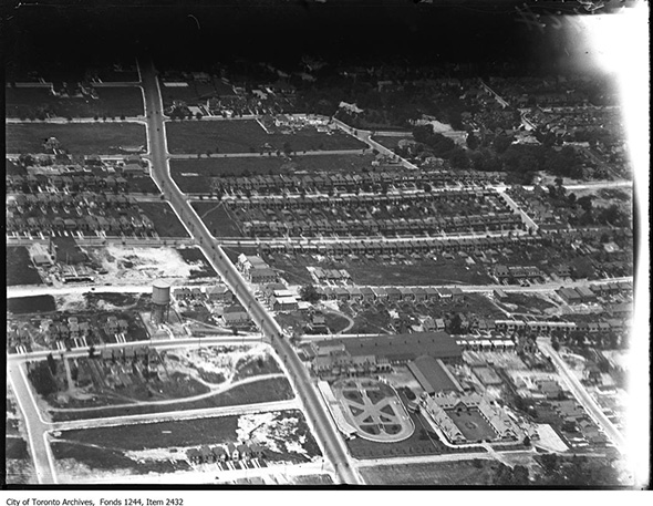
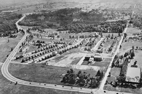
Avenue Road aerial north of Eglinton, 1930
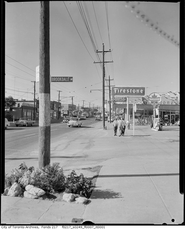
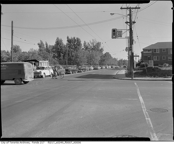
Avenue Road and Brookdale, 1961
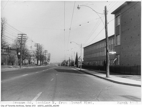
Avenue Road north of Elwood, 1961
Avenue Road and Lowther, 1933
Avenue Road south to St. Clair, 1937
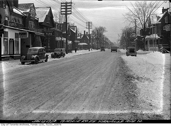
Avenue Road north of Yorkville, 1938
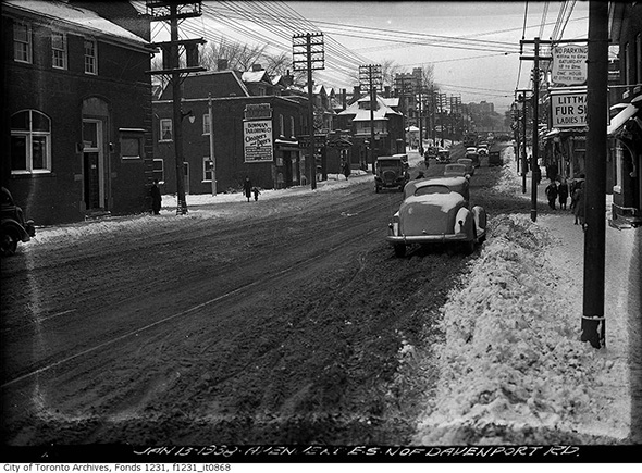
Avenue Road looking north from Davenport, 1938
Avenue and Wilson looking toward the Highway 11A Hogg's Hollow Bridge in 1949, eventually assumed by the 401
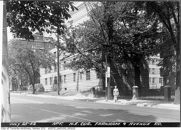
Avenue looking north towards Farnham, 1952
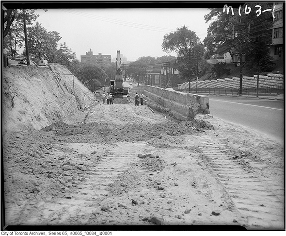
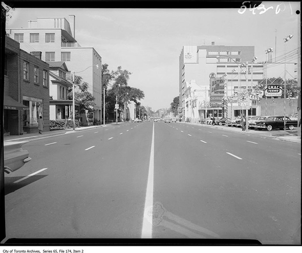
Avenue Road widening south of St. Clair, 1959
Now looking north, 1959
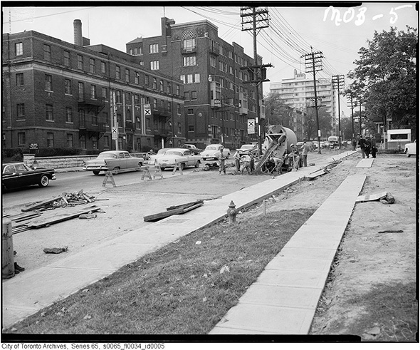
Avenue Road and Dupont looking north, 1959
Avenue Road south of De La Salle College post-widening, 1960
Avenue Road looking north of Davenport, 1960
Avenue Road and Lawrence, 1961
Avenue Road and Fairlawn, 1961
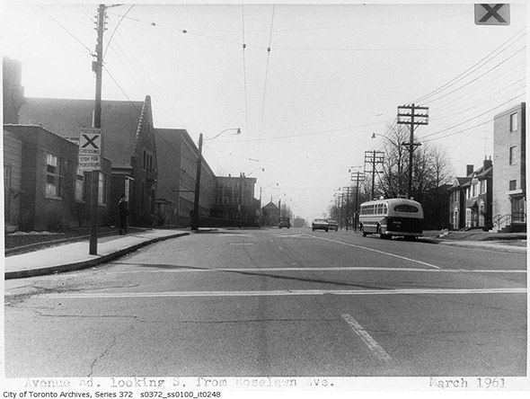
Avenue Road south of Roselawn, 1961
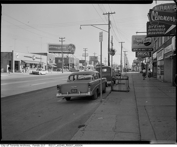
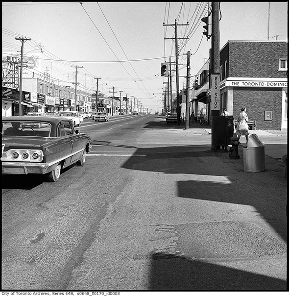
Avenue Road north of Lawrence, 1961
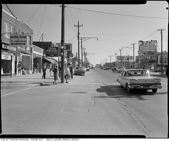
Avenue Road and Dunblaine, 1961
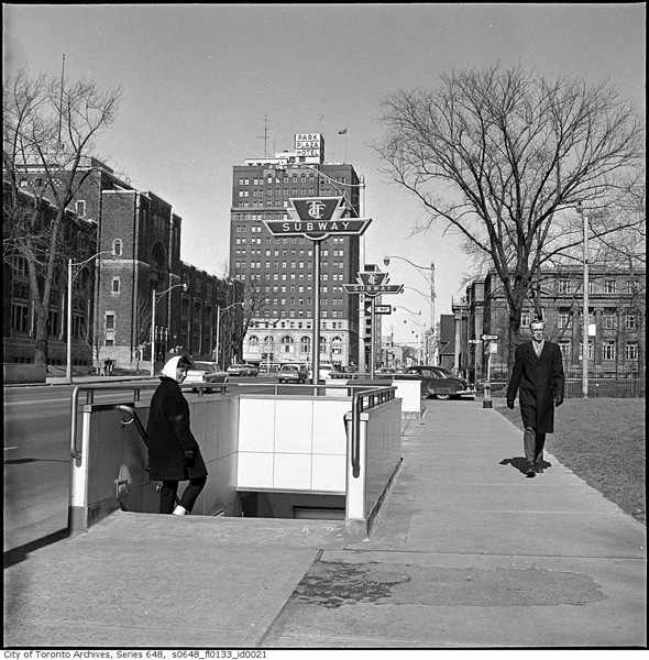
Entrance to Museum Station, 1963
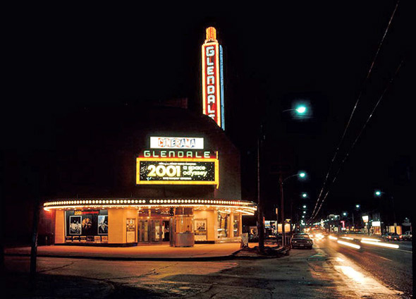
Glendale Cinema (Avenue north of Lawrence), 1969
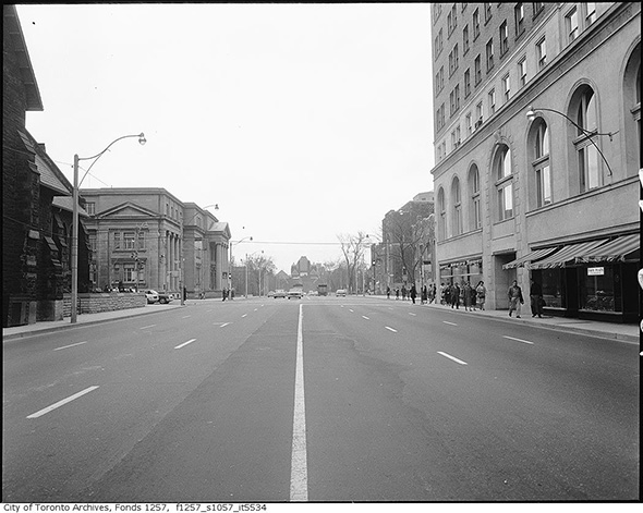
Avenue Road looking south to Bloor, 1970
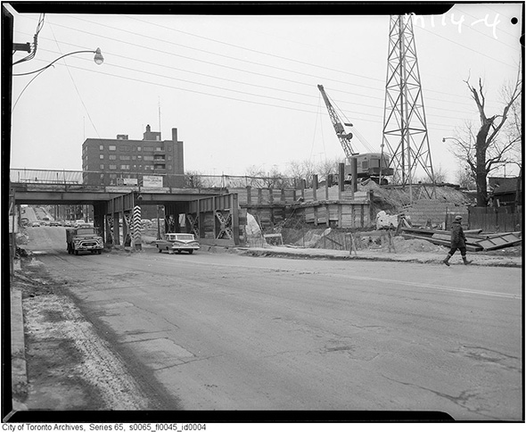
Near Avenue Road and Dupont, 1974
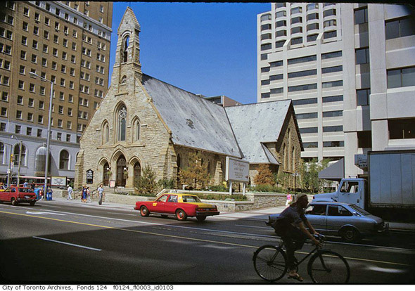
Bloor and Avenue Road (Church of the Redeemer), 1980s
Latest Videos
Latest Videos
Join the conversation Load comments