What Keele Street used to look like in Toronto
Keele Street may not feel particularly central geographically in Toronto, but historically speaking its been home to various hubs of activity for over a century. From the Canada Packers Stockyards at St. Clair to High Park, it's a diverse street with a rich history. Even today, the presence of York University and the subway extension at its northern tip (at least as far as Toronto goes -- the street actually extends to the Holland Marsh), ensures that it remains a place where development chugs along.
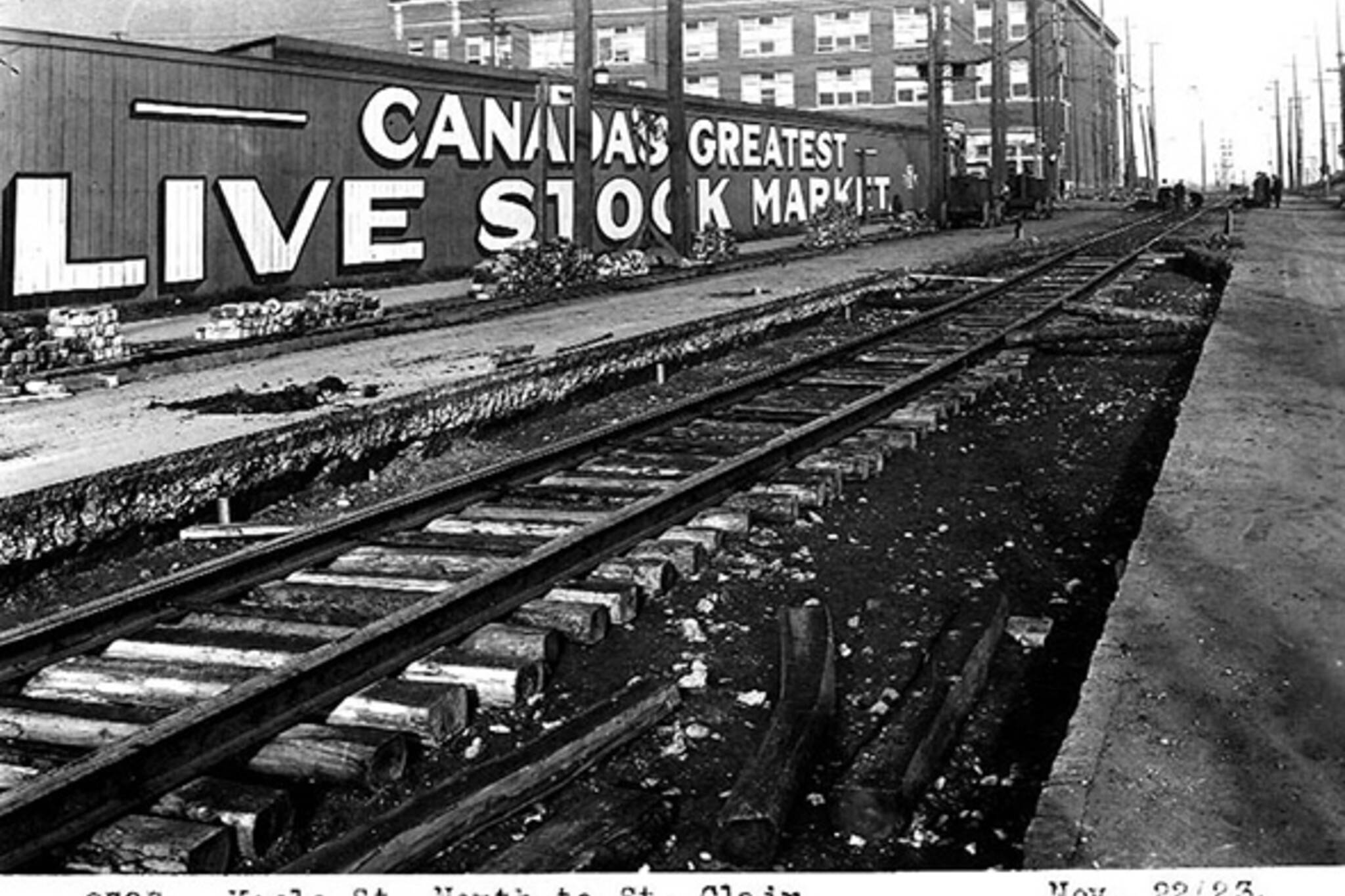
In the past, the busiest section of Keele was located along the stretch between Dundas and St. Clair, which was home to a variety of industrial and manufacturing enterprises as well as the previously mention Stockyards. Photos from the early 20th century show a dense strip of road in the area, which was well served the by the junction of multiple railway lines that gave the neighbourhood its name (prior to be being called the Junction, the neighbourhood was referred to as West Toronto).
In conjunction with the presence of High Park (which opened in 1876), the absence of these rail lines around Bloor explains why development was slower to catch on around this section of Keele, which up to the early 1910s served as a city dump. To this day, the area south of Annette all the way down to the Lake Shore is primarily residential.
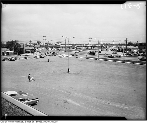
To the north of Eglinton, Keele is marked by the strip-mall aesthetic that one sees beginning to form in the last two photos below in 1959. While there's really no doubt that long stretches of Keele would fairly be described as unremarkable, when you get out and explore, it's easy to spot traces of the street's history in what seem to be banal places, and there's something rather rewarding about that.
PHOTOS
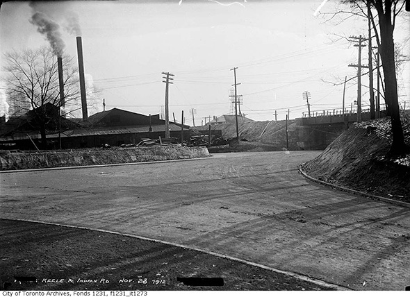
Keele & Indian Road, 1912
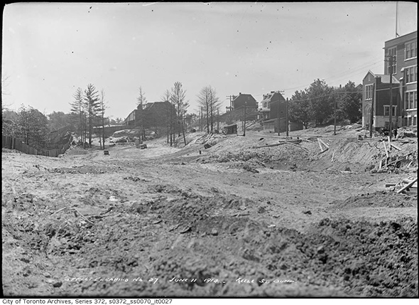
Remains of Keele Street Dump (at Bloor), 1914
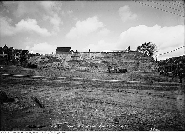
Bloor & Keele, alternate angle (also 1914)
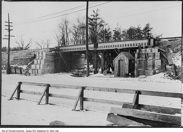
Keele Street Subway at Lakeshore, 1915 (now Parkside Drive)
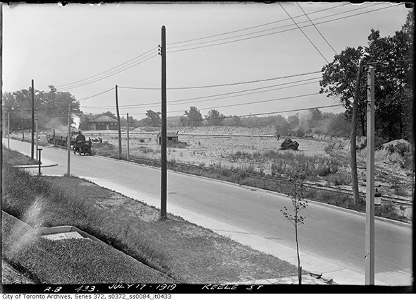
Keele Street, 1919 (unidentified location)
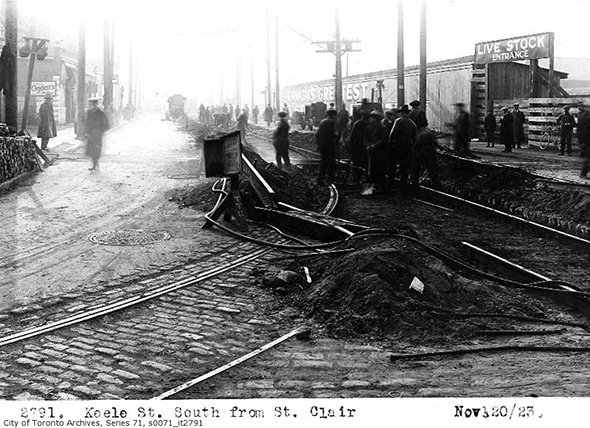
Keele looking south from St. Clair, 1923
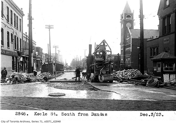
Keele south of Dundas, 1923
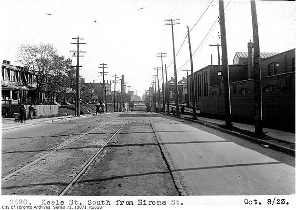
Keele south of Hirons, 1923
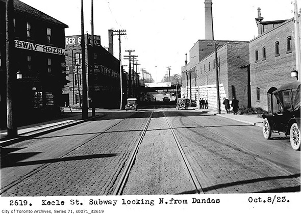
Keele looking north of Dundas, 1923
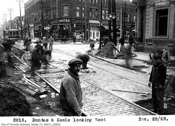
Dundas & Keele, 1923
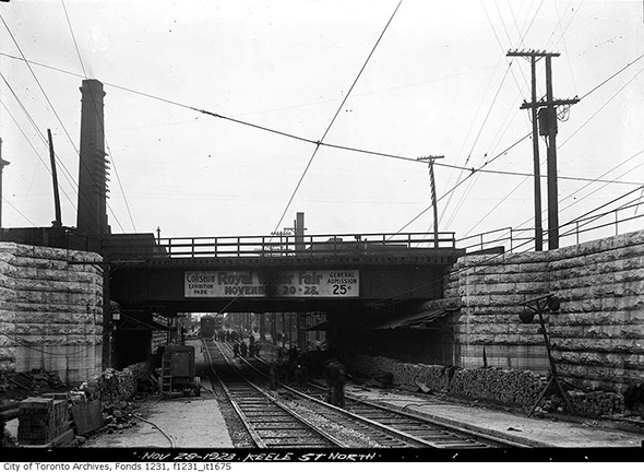
Keele Subway at Junction Rd., 1923
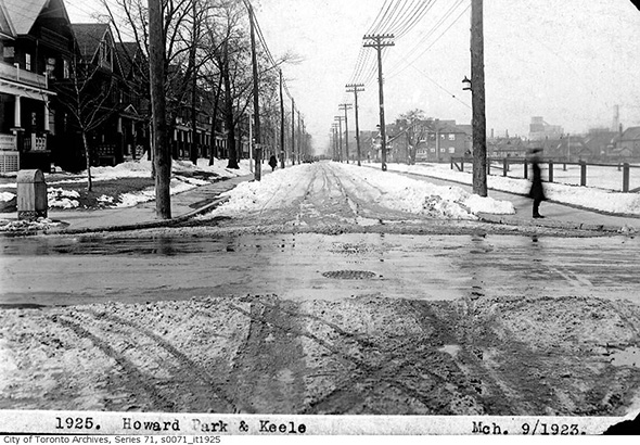
Howard Park & Keele, 1923
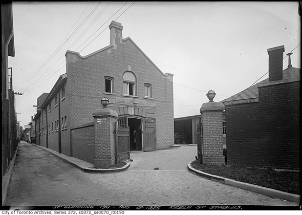
Keele Street Stables, 1925
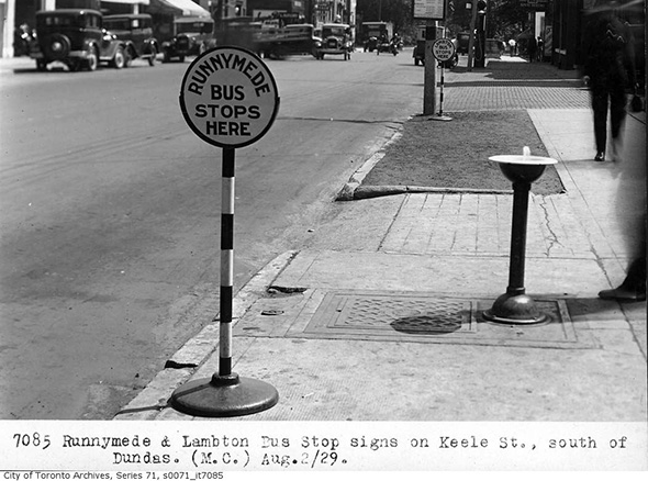
Runnymede bus stop, 1929
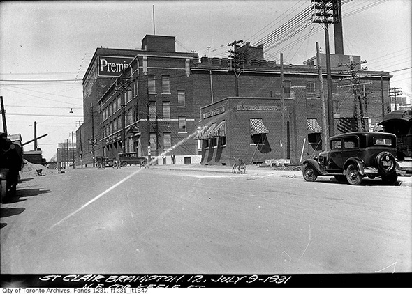
Northeast corner St. Clair & Keele, 1931
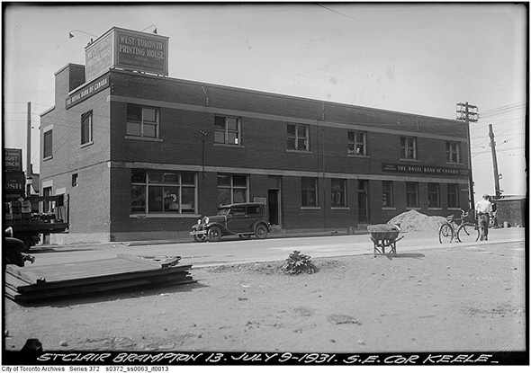
Southeast corner St. Clair & Keele, 1931
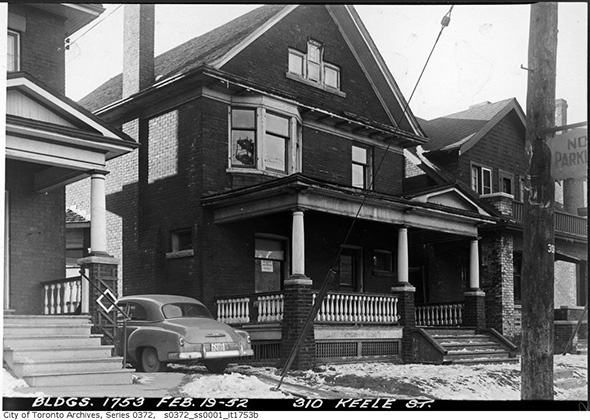
310 Keele St., 1952
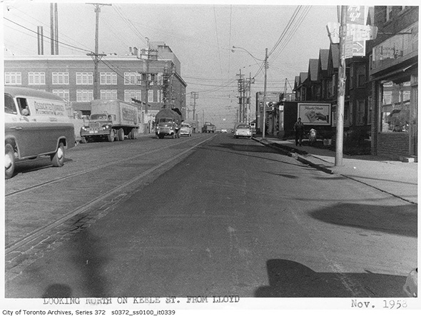
Keele looking north from Lloyd, 1958
Keele & Wilson area, 1959
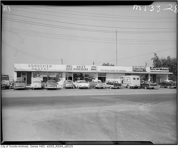
Downsview Market (Keele north of Wilson), 1959
Photos from the Toronto Archives
Latest Videos
Latest Videos
Join the conversation Load comments