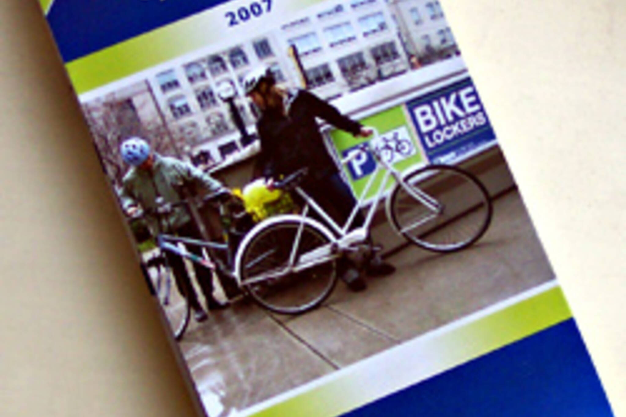
2007 Cycling Maps Are Out
In case you didn't know, the City of Toronto annually publishes a free cycling map of the city, showing every single one of Toronto's bike lanes, bike paths and designated bike routes, as well as providing miscellaneous bike-related info such as bike store and bike locker locations and tips on safe cycling. The maps can be picked up at the City Hall, civic centres, community centres and many bike stores throughout the city. An online version is also available on the City's cycling website (although it hasn't been updated from 2006 yet).
Well, after a few weeks of delays, the 2007 edition of the map is finally out! It's got its share of inaccuracies and flaws, the most glaring being the lack of indication for one-way streets (are they trying to encourage wrong-way cyclists?) - but it's packed with tons of useful info and the price sure can't be beat. The map's greatest shortcoming, however, has nothing to do with quality of printing or accuracy of information. It's simply the unfortunate fact that the current map differs so little from the 2006 version, it was hardly worth printing.
The most noticeable change is the addition of several new "signed bicycle routes", particularly in Scarborough. In other words, the city picked out a bunch of quieter streets and erected signs along them indicating that these streets are good for cyclists. It is true that these routes (when they actually go somewhere) help cyclists navigate through the maze of winding residential streets, but the whole idea that cyclists are supposed to stick to residential streets is rather offensive. Especially since nearly every residential intersection in Toronto features all-way stop signs. Is it any wonder that cyclists run stop signs, when they are expected to use residential streets designed to slow down and discourage all traffic as their "arterials" to travel through the city?
Then there are bike lanes. There is a new one on Strachan (connecting to the waterfront trail) and a new one on Sentinel (a road leading to one of York University's entrances), each measuring about 1 km. An even shorter one on Roselawn. Five extra blocks on Harbord. Six extra blocks on Birmingham in Etobicoke. Three extra blocks on Royal York. That's about it.
The City has been talking lately about actually completing the Bike Plan by 2012 as planned. Councillor Heaps promised us 30 km of new bike lanes this year. So I'm waiting for a 2008 Cycling Map that can be told from the 2007 Cycling Map at one quick glance. Wouldn't that be nice?..
Latest Videos
Latest Videos
Join the conversation Load comments