TTC Ride Guide, Google Maps Mashup
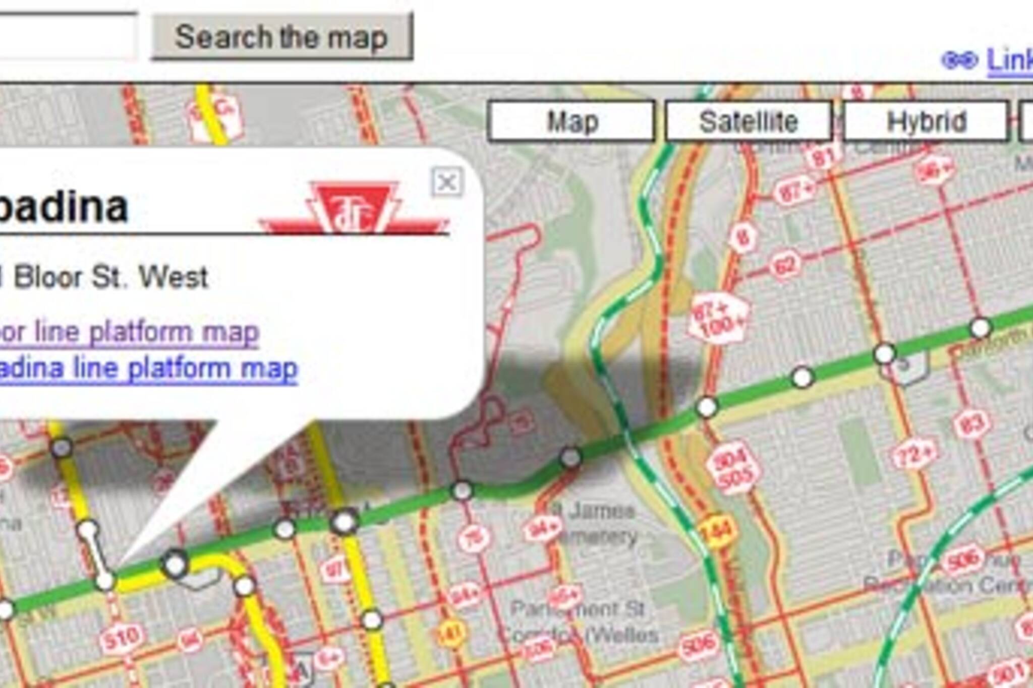
Spacing Wire and Torontoist are reporting that Ian Stevens has combined the TTC's Ride Guide PDF with Google Maps and Sean Lerner's TTC Subway Rider's Efficiency Guide.
It's loading a little slow for me on my stolen wireless, but it looks to be extremely useful. You can click on any station (or select it from a pull down menu) and it gives you the address of the station and links to the platform maps. All surface transit is highly visible, address search is working great, and you can link to any location on the map.
With any luck, someone at the TTC will finally realize how important this kind of fan generated content is. Until then I'll have to wait for my TTC Anagram Map, Google Maps mashup.
Latest Videos
Latest Videos
Join the conversation Load comments