What Lawrence Avenue used to look like in Toronto
At the turn of the 20th century, the territory covered by current day Lawrence Avenue was almost entirely farmland. Named after Jacob Lawrence, a prominent farmer in the area, the street was little more than a narrow concession connection farmhouses. In the years that would follow, the residential core of the street would appear west of Yonge with many of the homes that make up Lawrence Park, one of the city's most affluent neighbourhoods, built during this period. Not so much has changed along this stretch -- between Yonge and Bayview -- in the last century. The street has gotten wider, but its overall residential makeup is the same.
It's a different story east of Bayview. Broken by the west branch of the Don River and Glendon College campus, the street resumes in the ultra-monied Bridle Path area (which wasn't really developed until after the second World War) before becoming the main drag of Don Mills, the city's first planned suburb. Heading east into Scarborough, the heightened retail character of the street continues in the form of 1960s era strip malls beyond Victoria Park.
To the west, the story is similar, if less strip mall-heavy. There's a more-retail oriented section between Bathurst and Black Creek, which was born in the post-war period. Elsewhere, residential sections mix with plazas and, eventually, high rise apartments at Weston Road. The street ends at Royal York, where it becomes The Westway.
To some degree, the central portion of Lawrence Avenue has remained insulated from the massive amount of development that's taken place in Toronto over the last 60 years. Were one to examine the history of Eglinton Avenue or Sheppard, you'd find far more obvious signs of change than you do here. The stately homes of Lawrence Park have kept things slow here, which one expects will be the case for decades to come.
PHOTOS
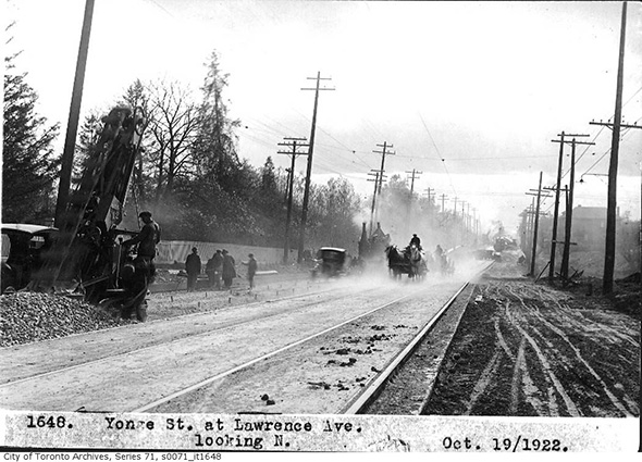
Yonge looking north of Lawrence, 1922
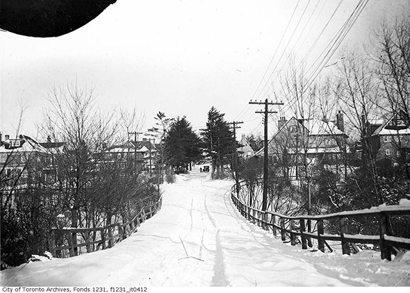
Lawrence Park, 1925
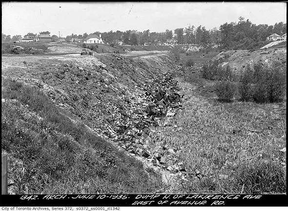
Dump site just north of Lawrence and Avenue Road, 1935
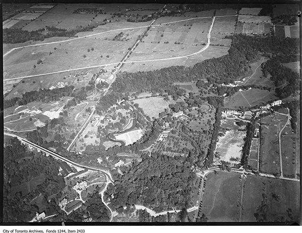
Aerial view of Lawrence and Bayview, 1935
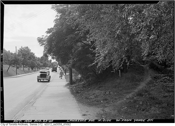
Lawrence west of Yonge, 1946
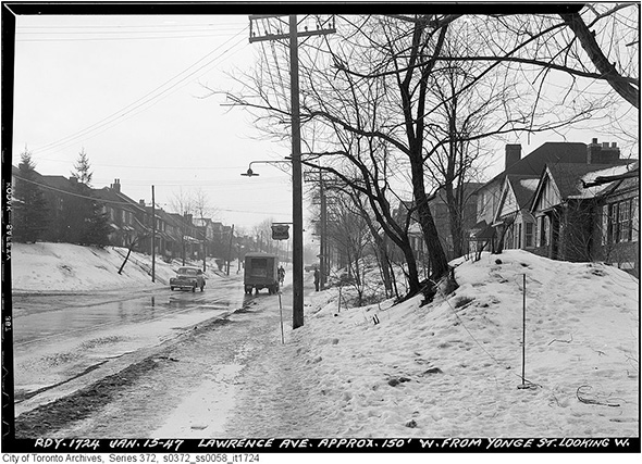
Ditto, 1947
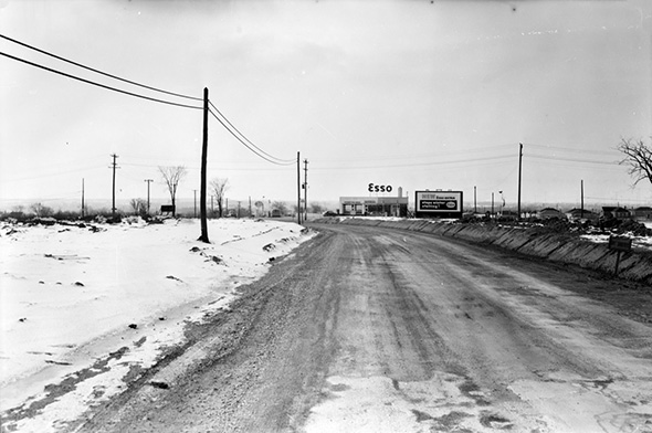
Lawrence looking west towards Keele, 1950s
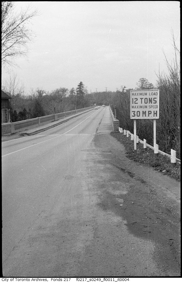
Old Bayview Bridge (at Lawrence), 1950s
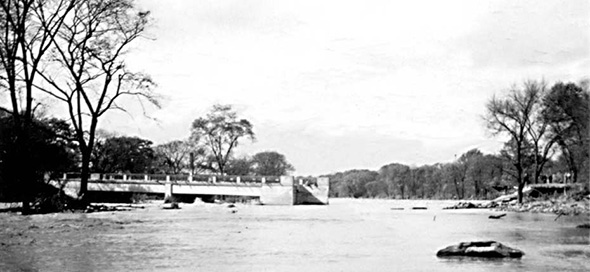
Humber Bridge washed out by Hurricane Hazel, 1954
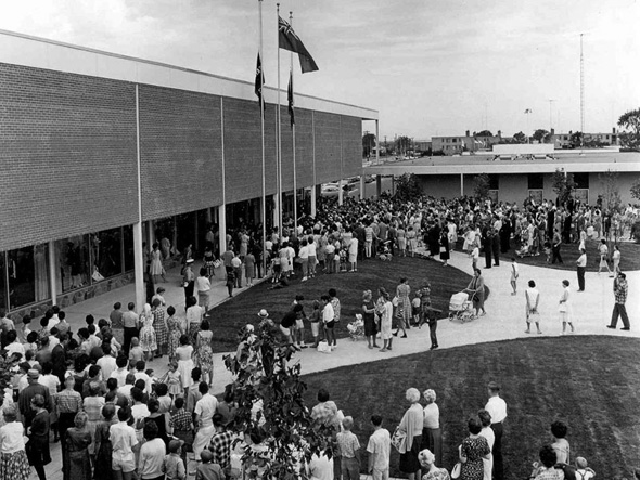
Don Mills Mall, 1960s
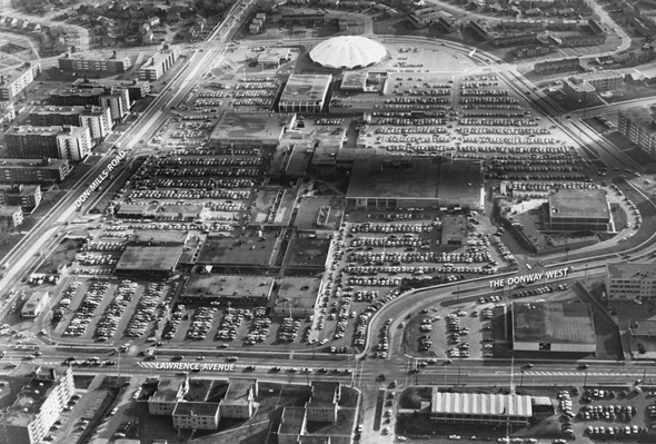
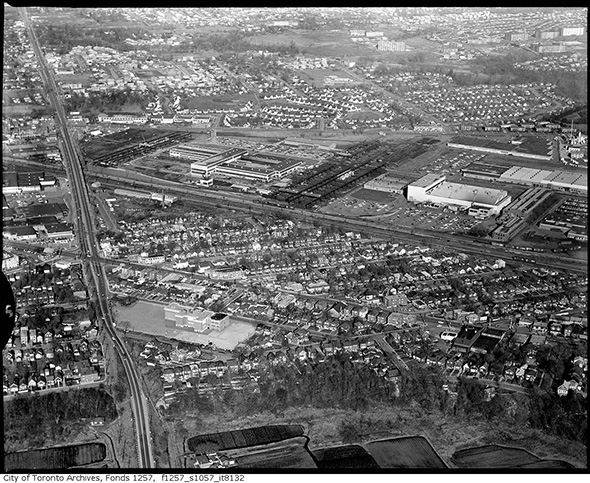
Aerial of Don Mills Mall
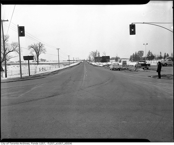
Aerial view Jane and Lawrence, 1960s
Don Mills and Lawrence, 1960
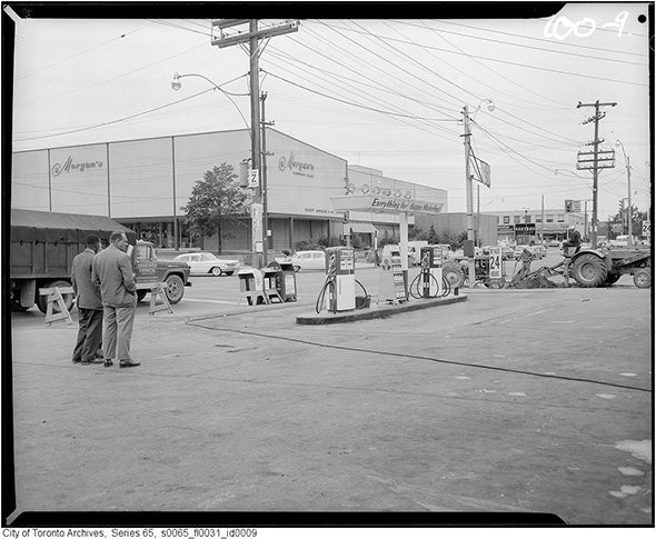
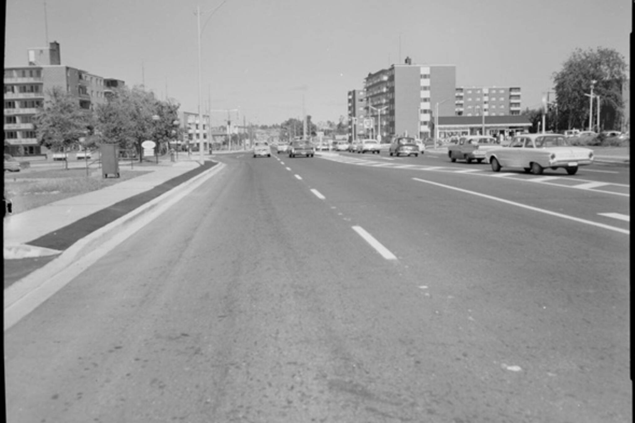
Bathurst and Lawrence, 1960
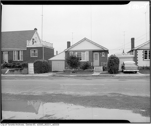
Lawrence just east of Bathurst, 1960
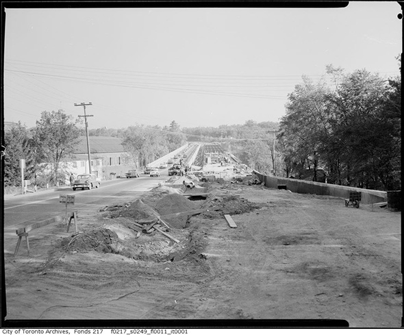
New Bayview Bridge (at Lawrence), 1961
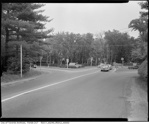
Bayview and Lawrence, 1961
Looking south on Avenue Road at Lawrence, 1961
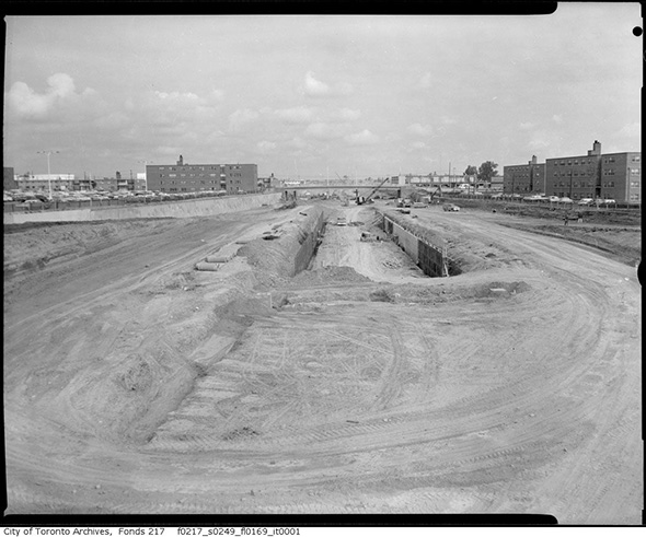
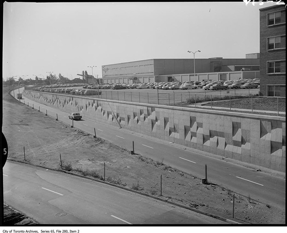
Looking north to Lawrence on an under-construction Allen Rd., 1963
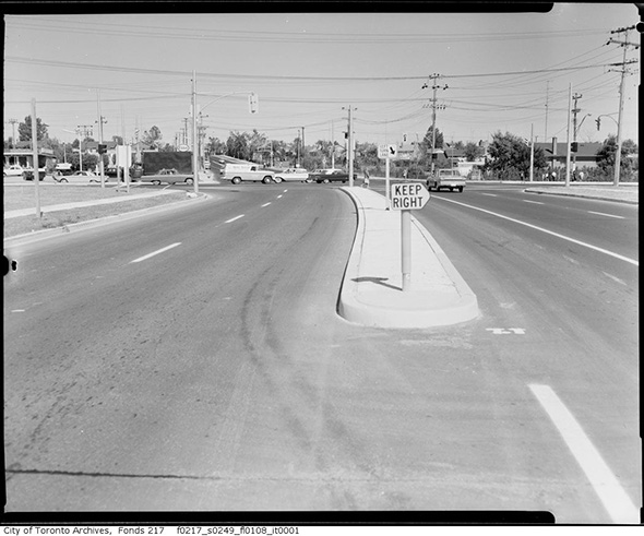
Lawrence Avenue exit from Allen Rd. 1965
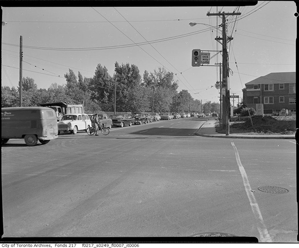
Leslie and Lawrence, 1960s
Latest Videos
Latest Videos
Join the conversation Load comments