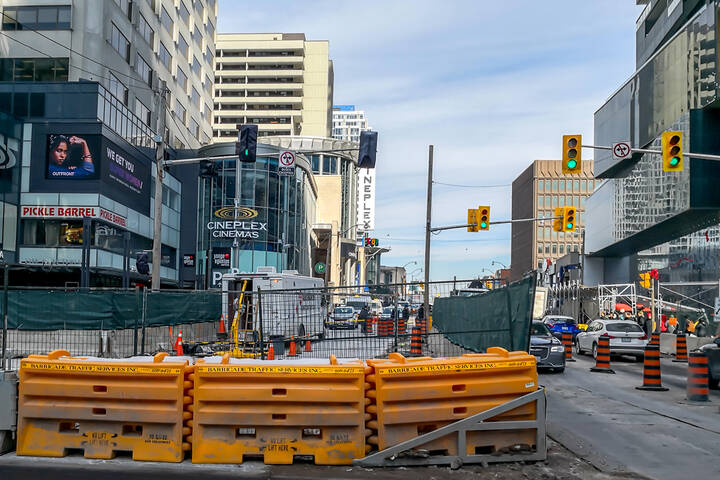
What Yonge and Eglinton used to look like
It's time to head a little north for a dose of Toronto history. Given the manner in which the city developed up from Lake Ontario, it's understandable that there aren't as many historical photos of areas above Bloor Street, but that's not to say that they escape documentation altogether. A place like Yonge and Eglinton, for example, is actually quite well represented in our municipal archive.
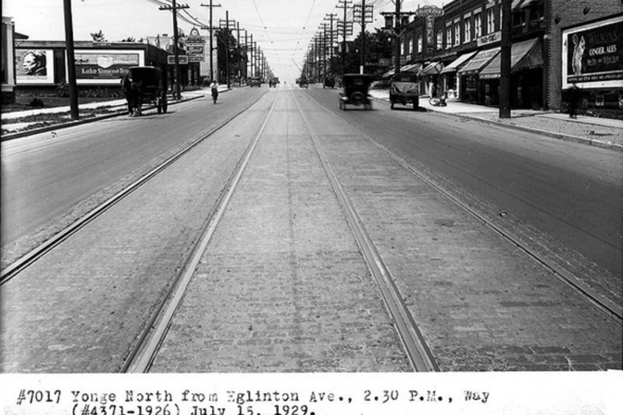
Most of the photos below date back to the middle of the 20th century or later, but the few that I've been able to rustle up that pre-date the 1950s paint a picture of sleepy intersection with a small core of comercial properties. Even when the subway arrives in 1954, there's yet to be much in the way of density. Fast forward to the mid-1960s and the character of the intersection and surrounding area has, however, changed dramatically.
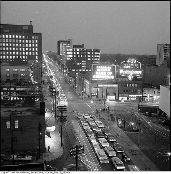
At this point, the tall buildings start to make their appearance. Office buildings are a part of this trend, but they won't come out in full force until the 1970s. On a purely visual level, the '60s are the intersection's heyday â the oversized signage on its corners a testament to its status as an important urban hub.
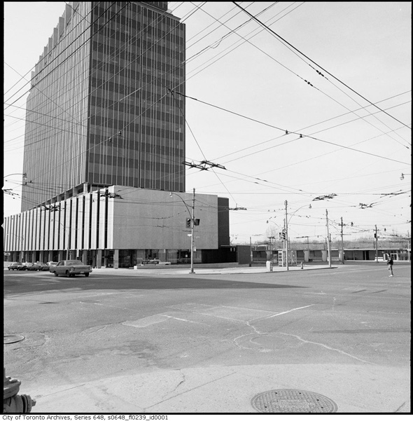
When the Yonge-Eglinton Centre arrives in the 1970s, this more rustic version of the intersection gives way to the corporate identity that it still carries today. One thing that's remained common over the last 100 years or so, is the presence of the TTC on the southwest corner. Although the bus stalls haven't been used in years and they're not exactly pleasing to the eye, what's left of them serves as a reminder of what this place used to look like before it was built up.
PHOTOS
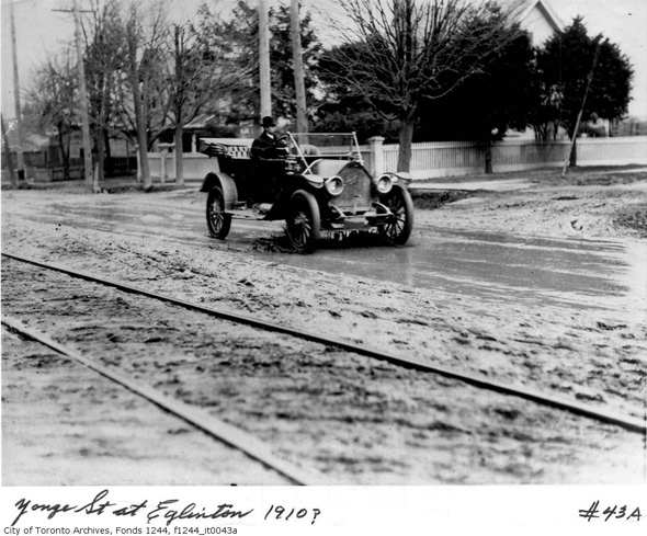
Yonge & Eglinton, 1910
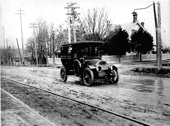
And pretty much the same in 1912
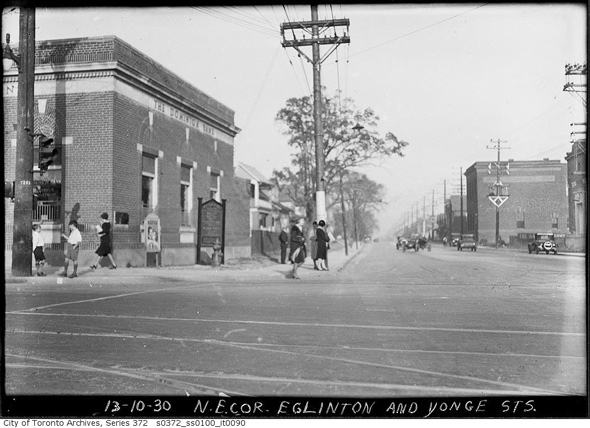
Northeast corner, 1930
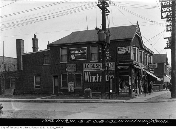
Southeast corner, 1930
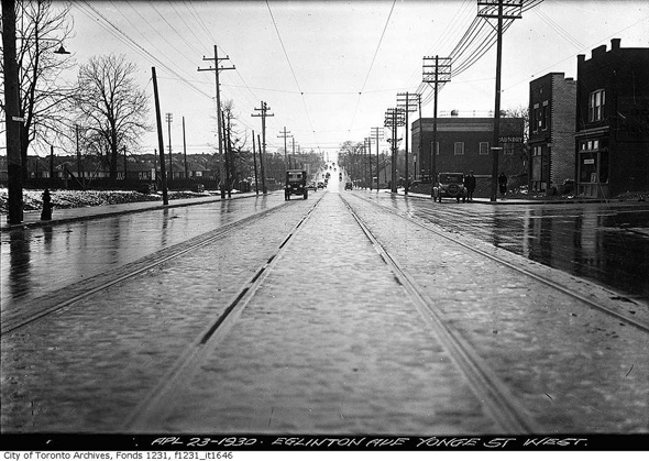
Looking west from Yonge along Eglinton, 1930
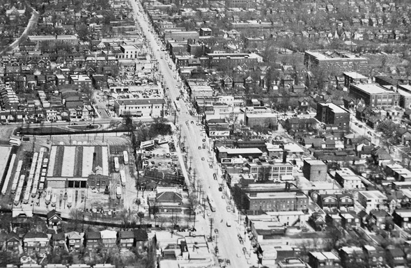
Aerial view, 1951
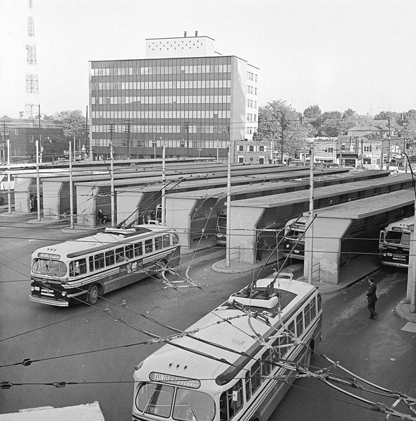
Eglinton Bus Terminal (electric trolleys), 1960
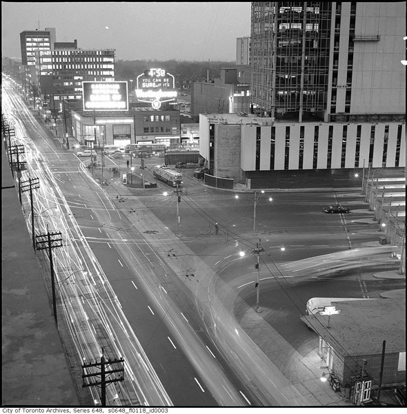
Look east across the intersection at night, 1962
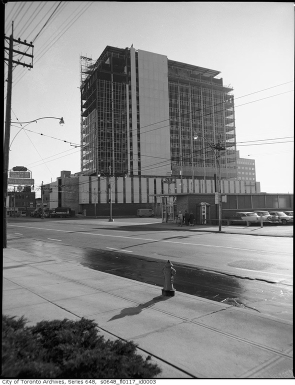
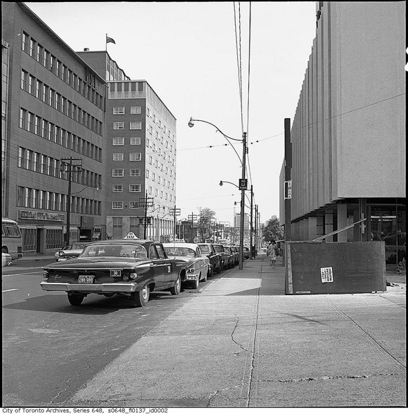
Foundation House comes up, 1962
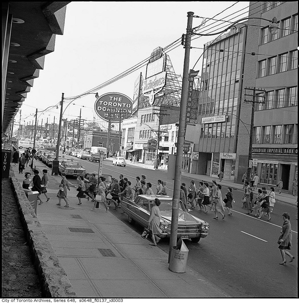
A busy intersection in 1963
Ditto
No more electric trolleys, 1967
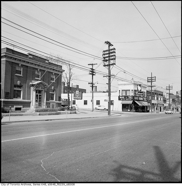
North of Eglinton on Yonge, 1968
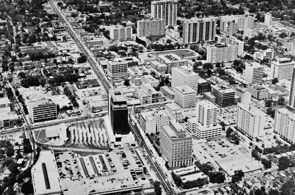
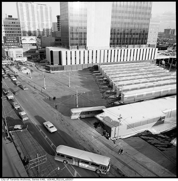
Aerial view, 1969 (compared to 1951 shot)
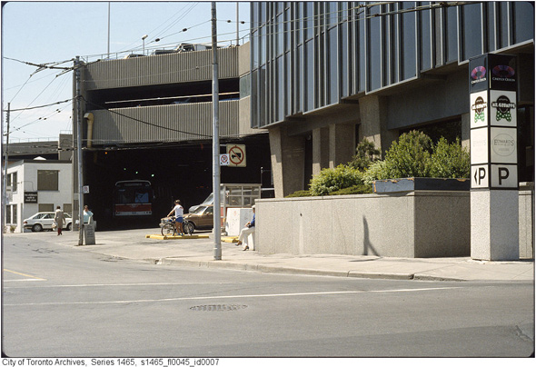
The old bus exit just south of Eglinton on Yonge, 1987
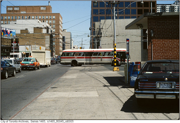
Entering Eglinton Station, 1987
Photos from the Toronto Archives. Aerial shots in 1951 and 1969 from Boomtown: Metropolitan Toronto
Latest Videos
Latest Videos
Join the conversation Load comments