2009/10 Toronto Neighbourhood Maps

Posted by Tim
Filed in Announcements
June 14, 2009

Toronto Neighbourhood MapsThe latest version of our maps of Toronto neighbourhoods is now out! We're still in the process of distributing them but starting this week you'll be able to find them at stores, cafes and other local businesses throughout our targeted neighbourhoods; most downtown hotels and, if all else fails, on our web site here.

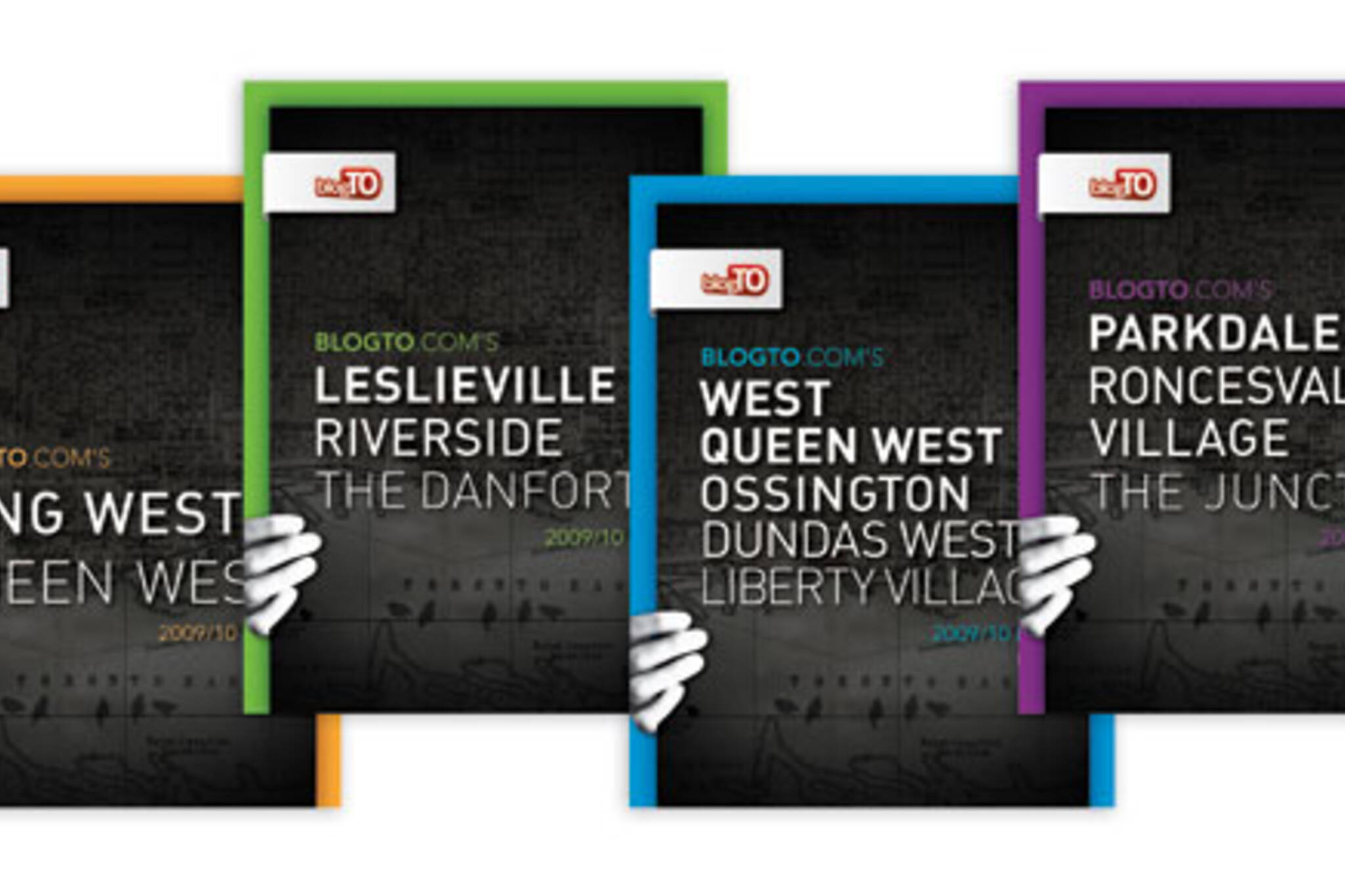
This year, for the 2009/10 edition, we've created four maps for the following neighbourhoods:

  • West Queen West + Ossington + Dundas West + Liberty Village
  • Parkdale + Roncesvalles Village + The Junction
  • King West + Queen West
  • Leslieville + Riverside + The Danforth
Those familiar with last year's set will notice we added the Junction this year. We've also expanded the coverage area of most other maps, including taking the Leslieville one all the way to Coxwell; Queen West up to Dundas and east to University; and Dundas West as far west as Dufferin.

We've also made some other changes this year including:

  • Coupons! Each map now includes coupons for a few select business so now the maps are not only free but they can help save you money as well.
  • A new design (black instead of white), a new paper stock to allow the colours and whites to come through more clearly; and more featured local businesses with full colour photos.
Like previous years, all maps highlight anywhere between 100 and 150 of the great local businesses in each neighbourhood including restaurants, bars, cafes, clothing stores, furniture and design stores, bookstores, art galleries, spas, hair salons and more.


More info on our Toronto Maps page.

Facebook

Alex on June 14, 2009 at 9:10 AM

Nothing for The Beaches ? That kinda sucks :(

Facebook

Tim on June 14, 2009 at 9:13 AM

Maybe next year. The Beaches is a tough neighbourhood to create a map for.

Mads on June 14, 2009 at 12:13 PM

These are awesome! I totally want them!

Luke Andrews on June 14, 2009 at 12:59 PM

Kinda funny that some of the most central neighbourhoods in the city didn't make the cut. The Annex? Cabbagetown? Corktown? It's a very Queen St.-axis biased selection. I look forward to more neighbourhoods next year...

jeflee on June 14, 2009 at 1:49 PM

very nice and much needed. keep em coming.

stephan on June 14, 2009 at 7:12 PM

well done Tim, I love these maps

Jo on June 14, 2009 at 10:19 PM

i second on the Annex as a must for the next issues.

Gloria on June 15, 2009 at 7:59 AM , replying to a comment from Luke Andrews

Hm, yeah ... why focus on a street that only crosses most of the city? :P

I'm sure they're on it. I doubt there was any "cut" or any "funny" conspiracy but merely trying to work along logically, or along a path that made logistical sense (e.g. once you started in one neighbourhood, it was easier to pick up info about the closest places, as they intersected).

Facebook

Tim on June 15, 2009 at 9:19 AM , replying to a comment from Luke Andrews

We created a map for the Annex the last two years but unfortunately we had a really mixed response from the neighbourhood. Some of the newer local businesses and groups like the Mirvish Village BIA were very supportive but others - especially many of the established businesses on Bloor and Harbord - didn't buy into the idea. Without broad support by local businesses in the community creating a map isn't really feasible for us.

DUDE on June 28, 2009 at 9:28 PM

Beaches---> Leslieville ?

CiN on July 1, 2009 at 9:03 AM

Great idea! Thanks for supporting neighbourhoods in such a big city.

Mike B on July 29, 2009 at 4:39 PM

No Yorkville??

fc on August 19, 2009 at 10:56 AM , replying to a comment from Luke Andrews

guys and dolls, please give credit where credit is due. don't hate. it's awesome that he's even doing these.

warmflash on August 25, 2009 at 12:38 AM

Yorkville? It's a tourist trap. There's nothing there. Who on earth would need a map for that?

Add a Comment

Name: Email: URL:
Comment: